Showing 10 of 53 records (filtered)
Applied filters: Topic Category: environment × Keywords: land × INSPIRE Theme: HB: Habitats and Biotopes × Clear all filters
Page 1 of 5. next last »
Preview
Title
Abstract
Country
INSPIRE Theme
Publication Date
Responsible Party
Topic Categories
Keywords
Access Constraints
Actions
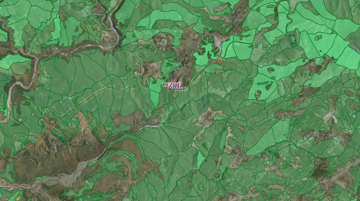
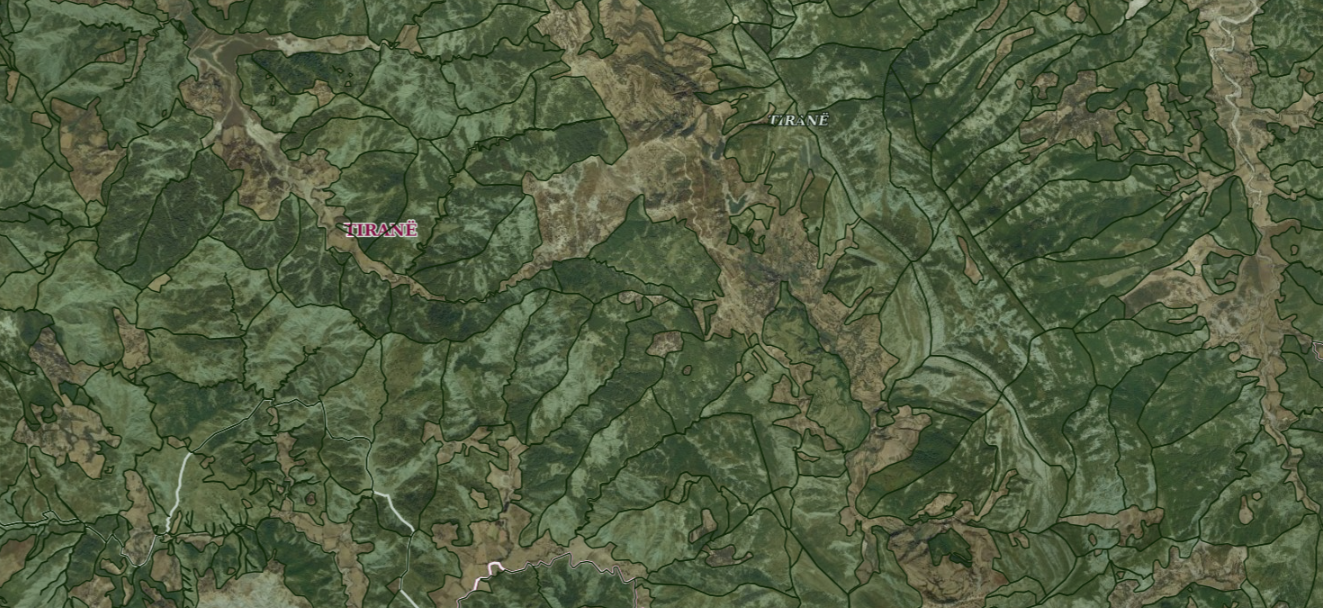
Graphic overview for ALFIS, Forest plot
ALFIS, Forest plot Forest parcel or “Plot” is the name of the forest area, with clear natural boundaries, which is created by dividing … Albania May 14, 2026 National Forestry Agency (NFA) copyright
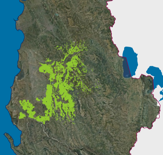
Graphic overview for ALFIS, Forest sub-plot
ALFIS, Forest sub-plot Sub-plot or “Sub-plot” is a surface unit with a minimum size of 0.5 ha, which serves for the assessment of … Albania May 14, 2026 National Forestry Agency (NFA) copyright
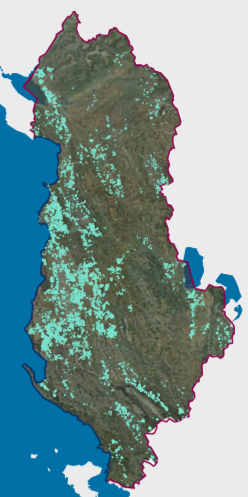
Graphic overview for Existing land use, Olive Cadastre.
Existing land use, Olive Cadastre. The Olive Cadastre is a system consisting of standardized geographic and textual data for the identification, registration and monitoring of … Albania Feb. 6, 2026 Agricultural Technology Transfer Center (ATTC) copyright
Graphic overview for Existing land use, Vineyard Cadastre
Existing land use, Vineyard Cadastre The Vineyard Cadastre is a system consisting of standardized geographic and textual data for the identification, registration and monitoring of … Albania Jan. 16, 2026 Agricultural Technology Transfer Center (ATTC) copyright
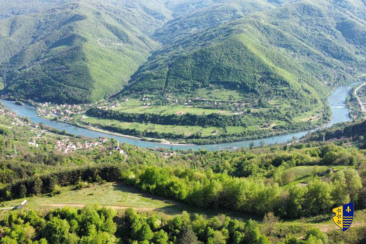
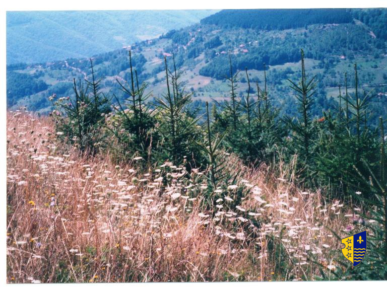
Graphic overview for Forest management basis for private forests of the Bosnian-Podrinje Canton Goražde
Forest management basis for private forests of the Bosnian-Podrinje Canton Goražde Data on private forests and forest land in the area of the Bosnian Podrinje Canton Goražde. Bosnia and Herzegovina None Cantonal Forestry Administration of the Bosnian-Podrinje Canton Goražde otherRestrictions
Graphic overview for Forestry basis for state forests of the Bosnian-Podrinje Canton Goražde
Forestry basis for state forests of the Bosnian-Podrinje Canton Goražde Data on state-owned forests and forest land in the territory of the Bosnian-Podrinje Canton Goražde. The validity date of the … Bosnia and Herzegovina None Cantonal Forestry Administration of the Bosnian-Podrinje Canton Goražde otherRestrictions
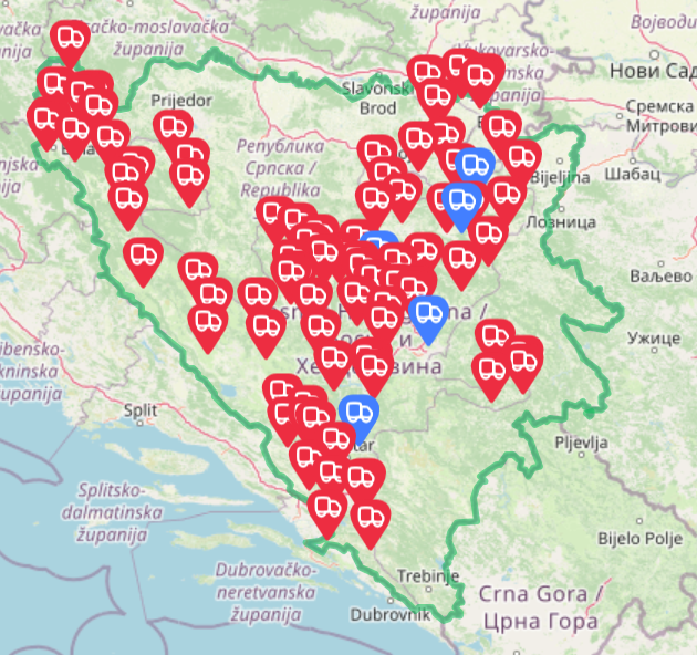
Graphic overview for Landfills for waste disposal in the territory of the Federation of BiH
Landfills for waste disposal in the territory of the Federation of BiH Basic information and overview of landfills in the FBiH Bosnia and Herzegovina July 20, 2025 FBiH Environmental Protection Fund otherRestrictions
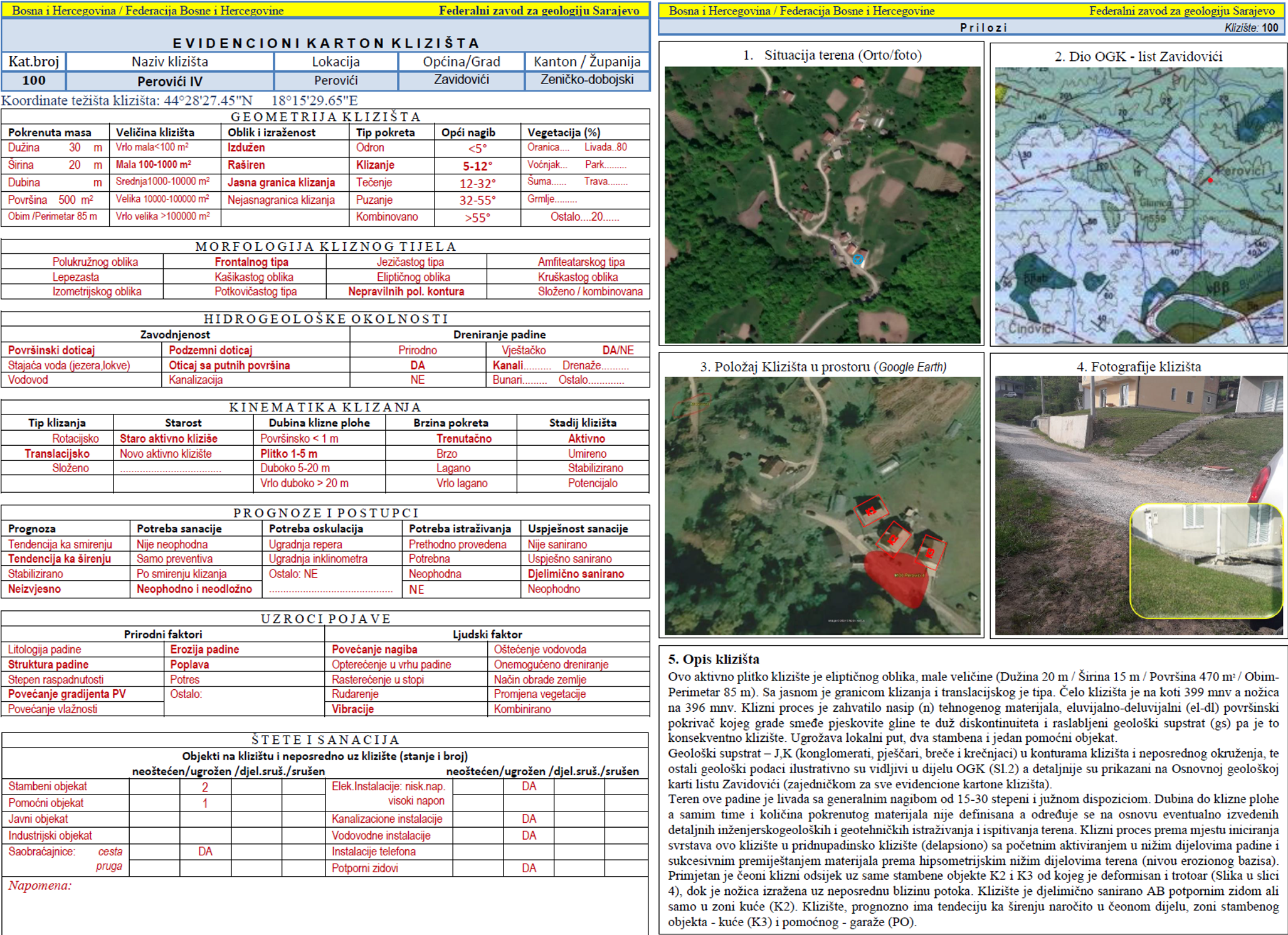
Graphic overview for Landslide Cadastre of the Federation of Bosnia and Herzegovina
Landslide Cadastre of the Federation of Bosnia and Herzegovina The Landslide Cadastre of the Federation of Bosnia and Herzegovina represents a central database of registered landslides in the territory … Bosnia and Herzegovina None Federal Institute of Geology otherRestrictions
Graphic overview for Natural Monuments, Dataset Metadata
Natural Monuments, Dataset Metadata Natural monument — a natural or natural-cultural feature of exceptional or unique value due to its rarity, aesthetic quality, or … North Macedonia Sept. 15, 2004 Ministry of Environment and Physical Planning otherRestrictions
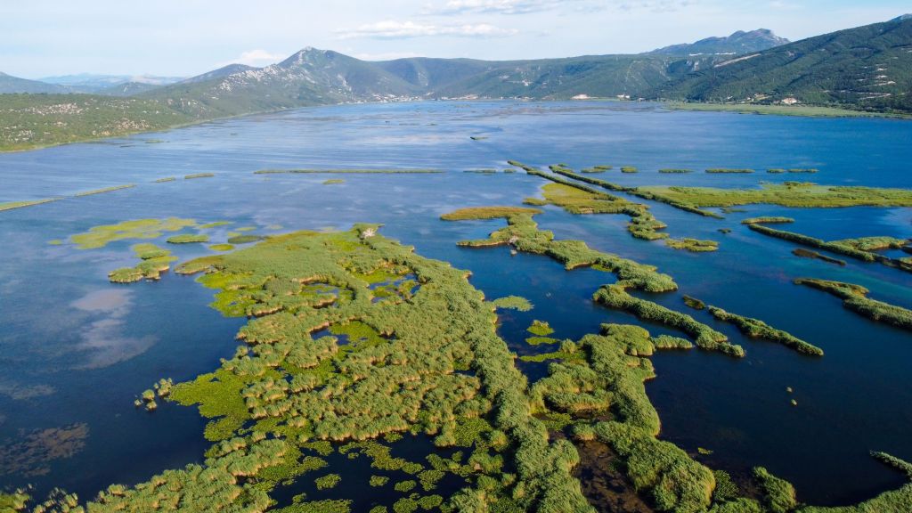
Graphic overview for PPPPO Nature Park Hutovo Blato
PPPPO Nature Park Hutovo Blato The area of the Hutovo Blato Nature Park is a protected area, in 1995 Hutovo Blato was declared a Nature … Bosnia and Herzegovina Oct. 7, 2016 Ministry of Construction and Spatial Planning CNK otherRestrictions
Showing 10 of 53 records (filtered)
Page 1 of 5. next last »