Showing 7 of 7 records (filtered)
Applied filters: Topic Category: inlandWaters × Keywords: CO × INSPIRE Theme: HY: Hydrography × Clear all filters
Preview
Title
Abstract
Country
INSPIRE Theme
Publication Date
Responsible Party
Topic Categories
Keywords
Access Constraints
Actions
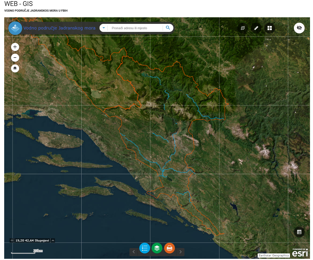
Graphic overview for Category I watercourses in the Adriatic Sea water area
Category I watercourses in the Adriatic Sea water area Category I watercourses in the Adriatic Sea watershed that are under the jurisdiction of the Adriatic Sea Watershed Agency under … Bosnia and Herzegovina None Agency for the Adriatic Sea Water Area otherRestrictions
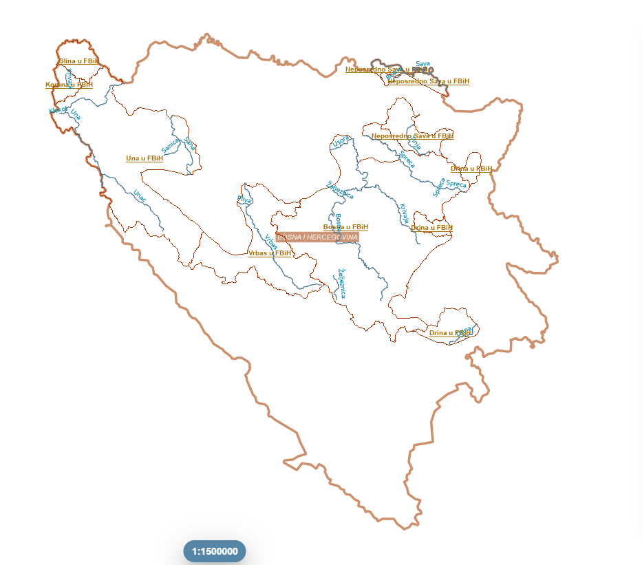
Graphic overview for Category I watercourses in the Sava River basin
Category I watercourses in the Sava River basin Category I watercourses in the Sava River Basin District that are under the jurisdiction of the Sava River Basin Agency … Bosnia and Herzegovina None Sava River Basin Agency otherRestrictions
Graphic overview for Flood areas along category II watercourses in the Bosnian-Podrinje Canton of Goražde
Flood areas along category II watercourses in the Bosnian-Podrinje Canton of Goražde The Cantonal Operational Plan for Flood Protection determines the implementation of active flood protection measures during times of imminent danger … Bosnia and Herzegovina May 30, 2013 Ministry of Economy of the Bosnian-Podrinje Canton Goražde otherRestrictions
Graphic overview for Protected natural areas of Sarajevo Canton
Protected natural areas of Sarajevo Canton In the Cantonal Public Institution for Protected Natural Areas, the implementation of GIS software began in 2020 when the Gauss … Bosnia and Herzegovina Jan. 1, 2020 Cantonal Public Institution for Protected Natural Areas Sarajevo otherRestrictions
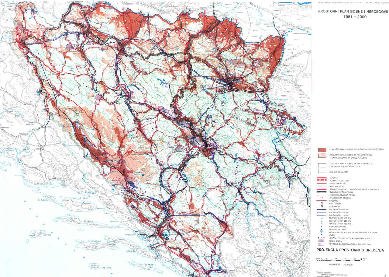
Graphic overview for Spatial plan of Bosnia and Herzegovina for the period from 1981 to 2000
Spatial plan of Bosnia and Herzegovina for the period from 1981 to 2000 The Spatial Plan of Bosnia and Herzegovina for the period from 1981 to 2000 was adopted by the Assembly of … Bosnia and Herzegovina Jan. 1, 1982 Federal Ministry of Physical Planning otherRestrictions
Graphic overview for Study "Inventory of the state and updating of data on agricultural areas of the Sarajevo Canton"
Study "Inventory of the state and updating of data on agricultural areas of the Sarajevo Canton" The subject of the Study is to determine the current state of land cover in the Sarajevo Canton by land … Bosnia and Herzegovina Feb. 1, 2024 Ministry of Municipal Economy, Infrastructure, Spatial Planning, Construction and Environmental Protection of Sarajevo Canton otherRestrictions
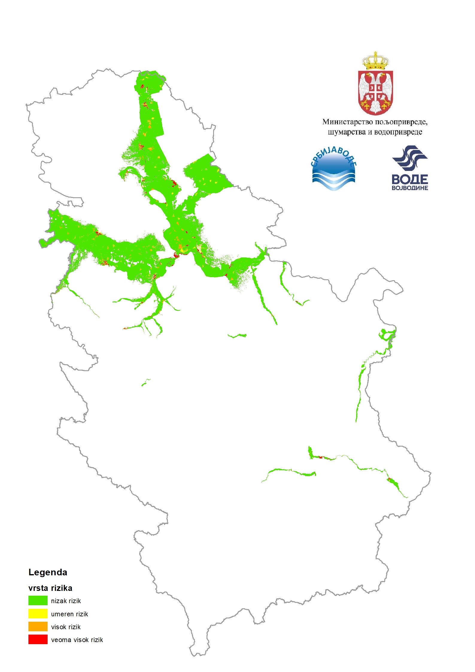
Graphic overview for Flood risk maps
Flood risk maps Flood risk maps are created for each significant flood area determined by the preliminary flood risk assessment. For the purposes … Serbia None PWMC Srbijavode copyright
Showing 7 of 7 records (filtered)