Showing 10 of 10 records (filtered)
Applied filters: Topic Category: location × Keywords: National × INSPIRE Theme: HY: Hydrography × Clear all filters
Preview
Title
Abstract
Country
INSPIRE Theme
Publication Date
Responsible Party
Topic Categories
Keywords
Access Constraints
Actions
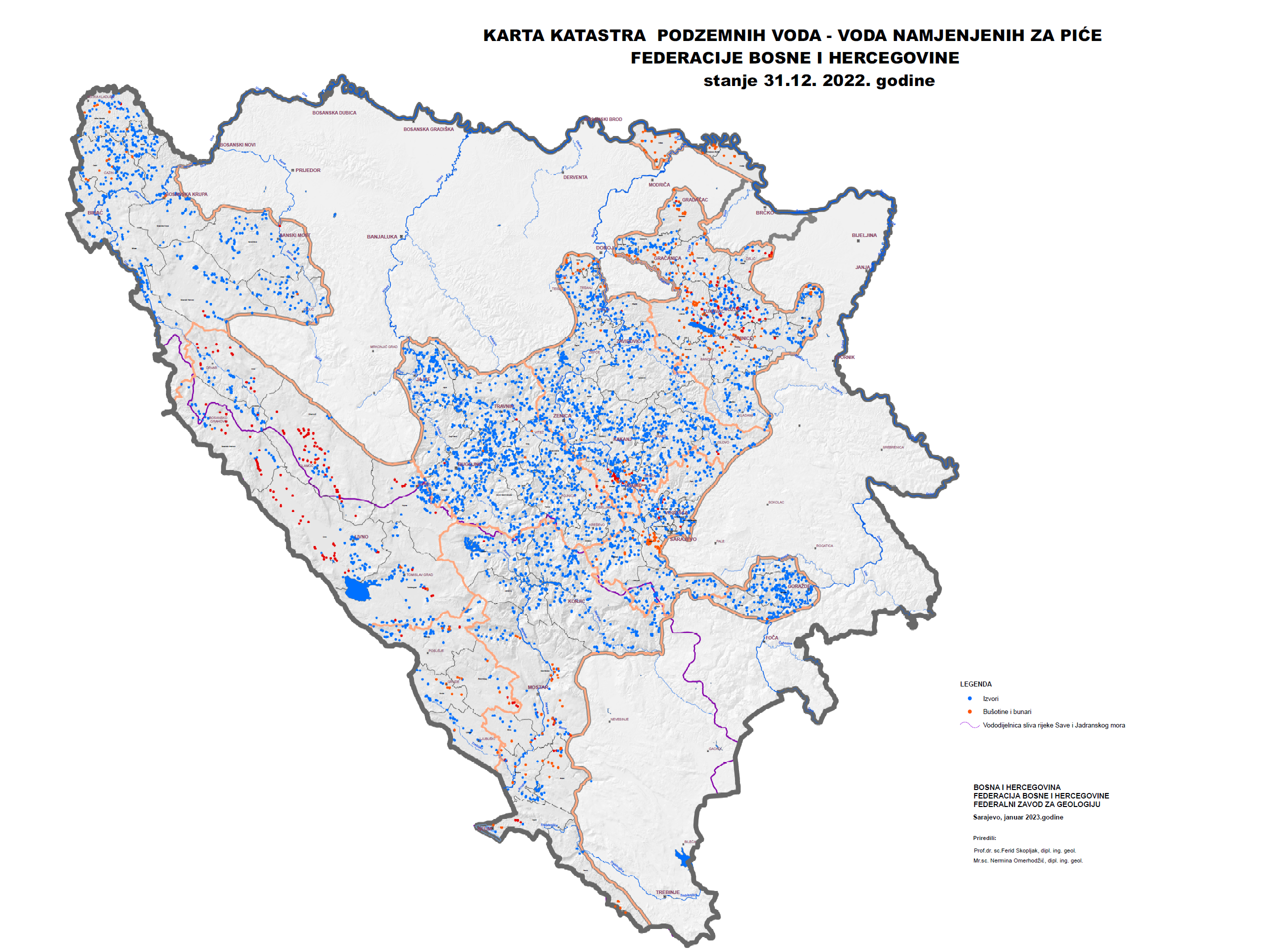
Graphic overview for Groundwater Cadastre of the Federation of Bosnia and Herzegovina
Groundwater Cadastre of the Federation of Bosnia and Herzegovina The Groundwater Register of the Federation of Bosnia and Herzegovina is a comprehensive document that includes cadastral lists of groundwater … Bosnia and Herzegovina None Federal Institute of Geology otherRestrictions
Graphic overview for Radio navigation devices
Radio navigation devices Radio navigation devices required for air traffic control operations. Bosnia and Herzegovina Jan. 1, 2014 BiH Air Navigation Services Agency (BHANSA) otherRestrictions
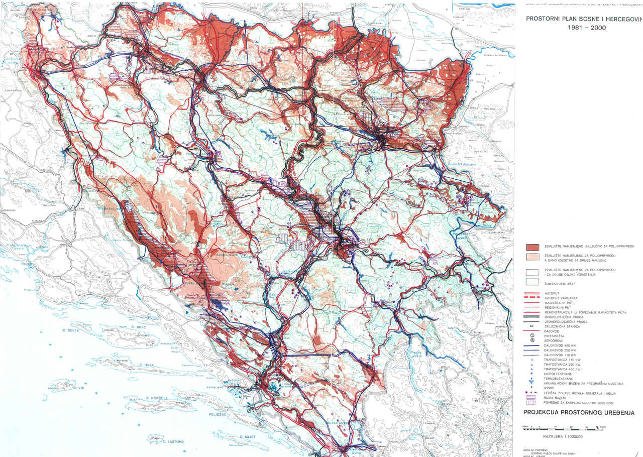
Graphic overview for Spatial plan of Bosnia and Herzegovina for the period from 1981 to 2000
Spatial plan of Bosnia and Herzegovina for the period from 1981 to 2000 The Spatial Plan of Bosnia and Herzegovina for the period from 1981 to 2000 was adopted by the Assembly of … Bosnia and Herzegovina Jan. 1, 1982 Federal Ministry of Physical Planning otherRestrictions
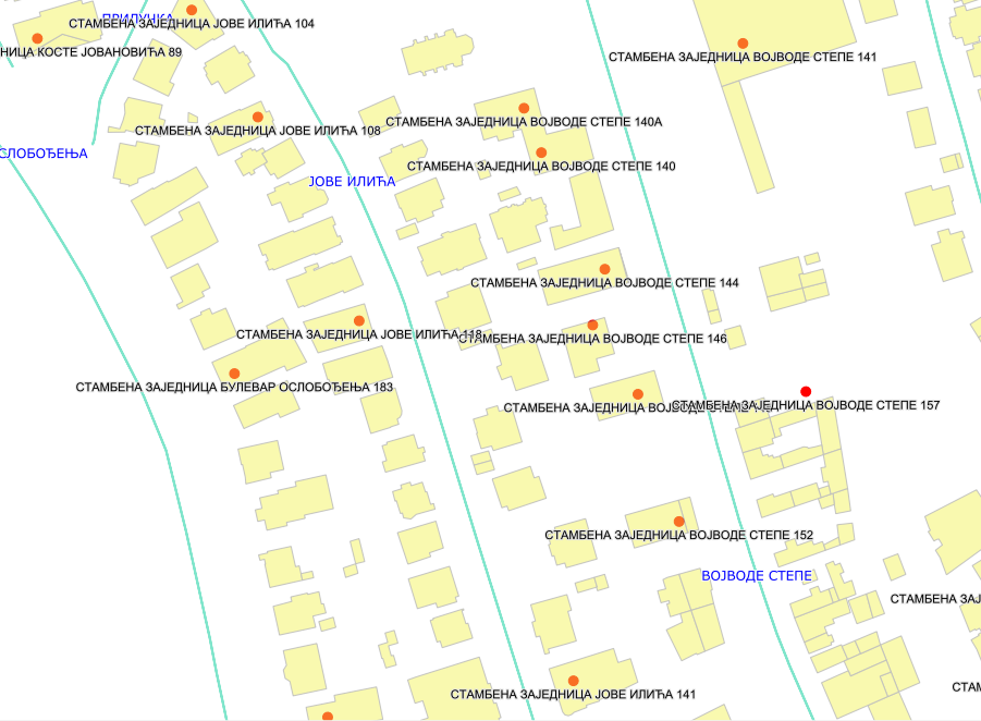
Graphic overview for Condominium registrar
Condominium registrar The Condominium register is an electronic database and documents that contain data on registered joint units on the territory of … Serbia June 13, 2017 Republic Geodetic Authority otherRestrictions
Graphic overview for Geographical-tourist map of Serbia at a scale of 1 : 500 000
Geographical-tourist map of Serbia at a scale of 1 : 500 000 Geographic and tourist map of Serbia at a scale of 1 : 500 000 is a digital geographic map based … Serbia Sept. 24, 2020 Republic Geodetic Authority otherRestrictions
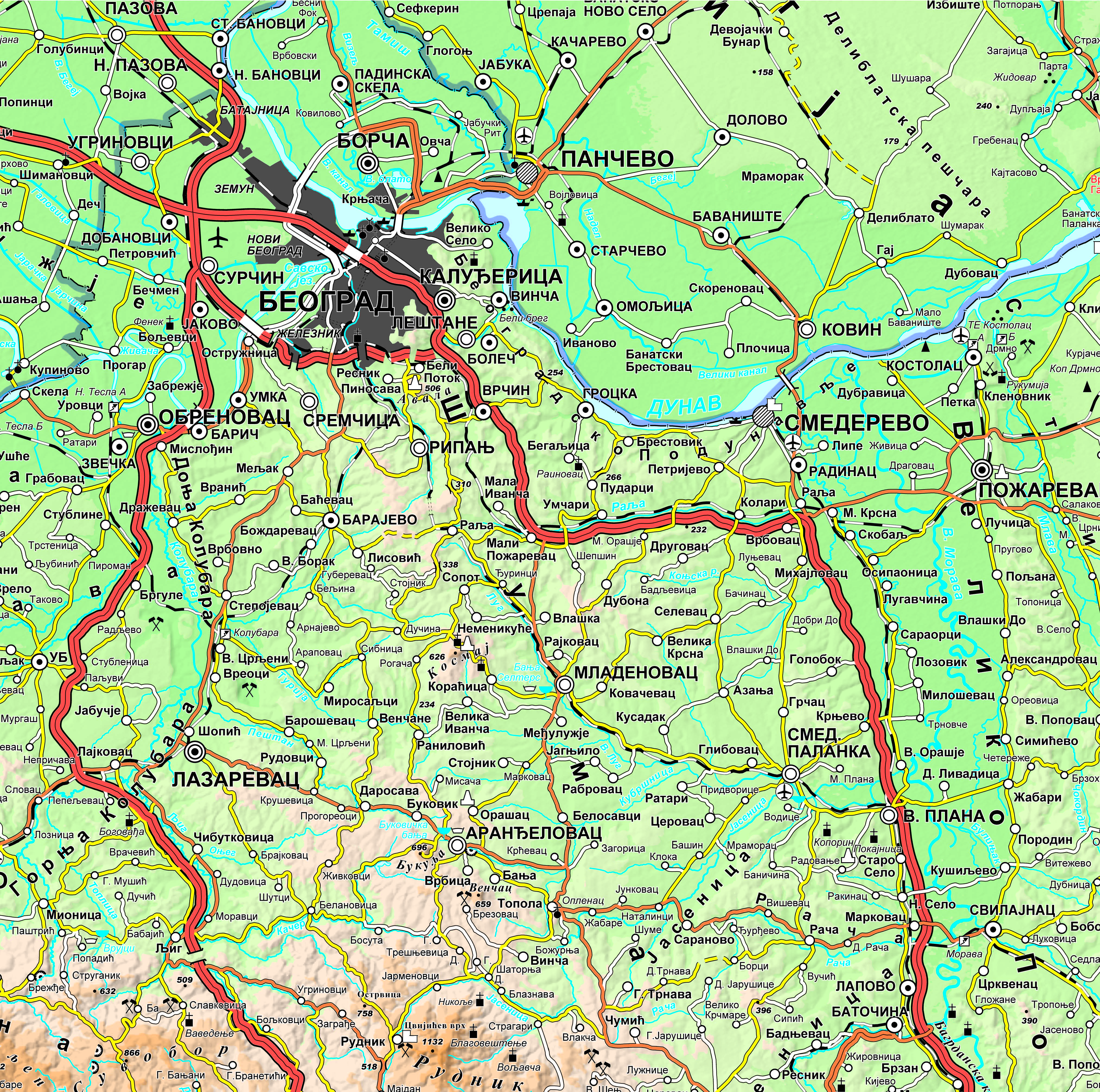
Graphic overview for Geographical-tourist map of Serbia at a scale of 1: 300 000
Geographical-tourist map of Serbia at a scale of 1: 300 000 Geographic and tourist map of Serbia at a scale of 1: 300 000 is a digital geographic map based on … Serbia Sept. 24, 2020 Republic Geodetic Authority otherRestrictions
Graphic overview for Geographical map of Serbia at a scale of 1 : 1 000 000
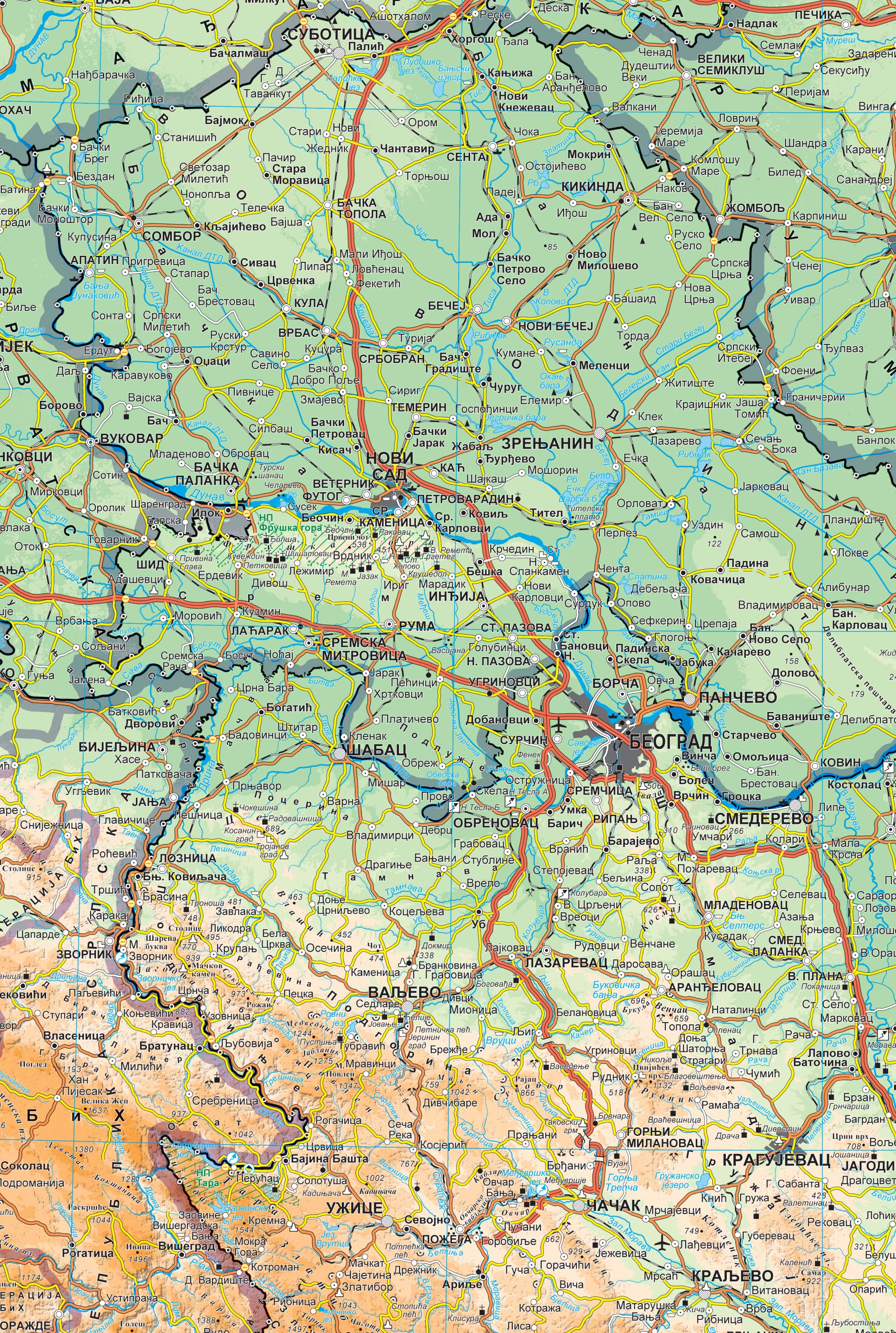
Geographical map of Serbia at a scale of 1 : 1 000 000 Geographical map of Serbia at a scale of 1 : 1 000 000 is a digital geographic map based on … Serbia Sept. 24, 2020 Republic Geodetic Authority otherRestrictions
Graphic overview for Geographical names
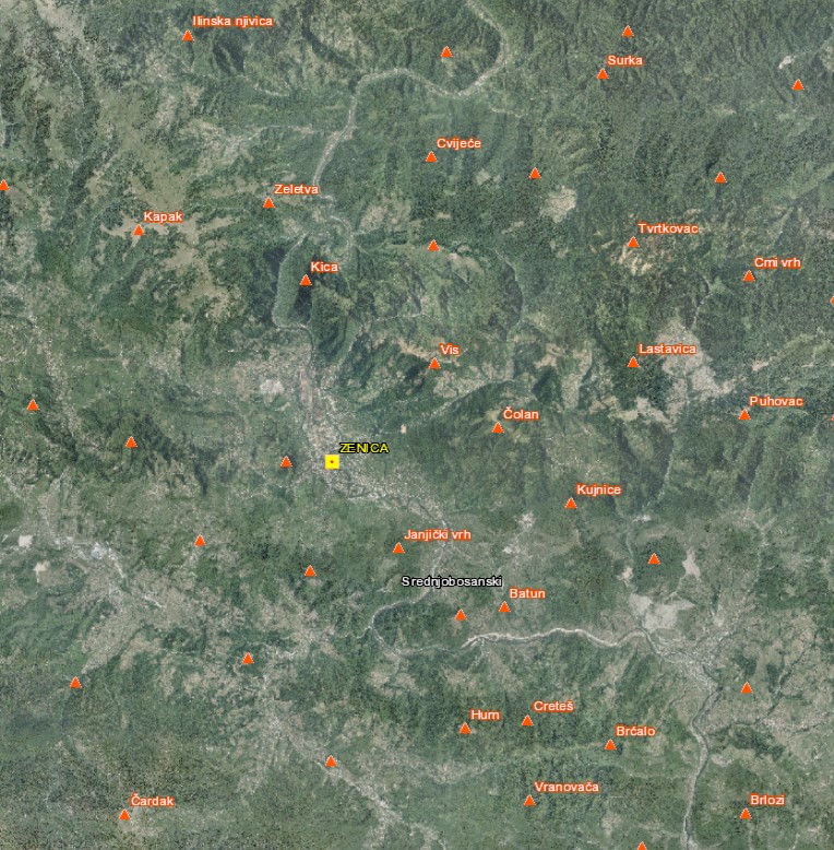
Geographical names The Register of Geographic Names contains geographical names in the territory of the Federation of Bosnia and Herzegovina from the … Bosnia and Herzegovina None Federal Administration for Geodetic and Property Legal Affairs other Restrictions
🖼️
Immovable cultural properties The set of information about immovable cultural properties contains basic information about every immovable cultural property on the territory of … Serbia None Institute for the Protection of Cultural Monuments of Serbia copyright
Graphic overview for Topographic maps - Topographic data set
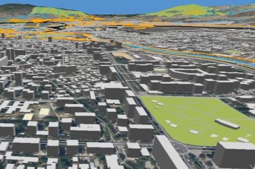
Topographic maps - Topographic data set Cartographic Base 1:20 000 is a set of entities that have modeled natural and artificial objects on the earth's surface, … Serbia Aug. 20, 2016 Republic Geodetic Authority otherRestrictions
Showing 10 of 10 records (filtered)