Showing 12 of 12 records (filtered)
Applied filters: Keywords: natural × INSPIRE Theme: HY: Hydrography × Clear all filters
Preview
Title
Abstract
Country
INSPIRE Theme
Publication Date
Responsible Party
Topic Categories
Keywords
Access Constraints
Actions
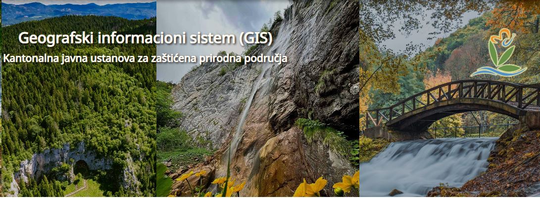
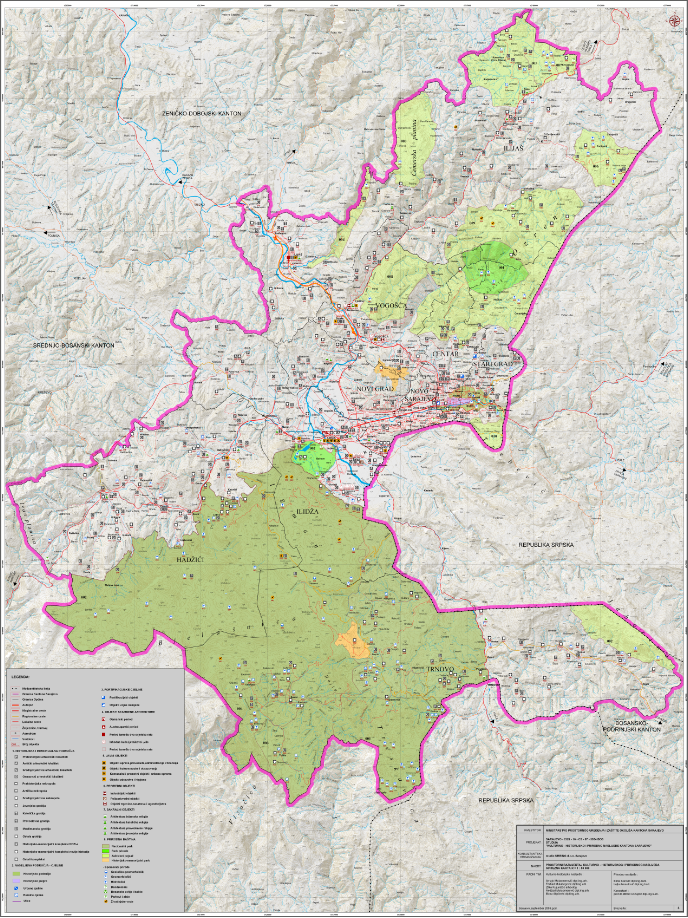
Graphic overview for Protected natural areas of Sarajevo Canton
Protected natural areas of Sarajevo Canton In the Cantonal Public Institution for Protected Natural Areas, the implementation of GIS software began in 2020 when the Gauss … Bosnia and Herzegovina Jan. 1, 2020 Cantonal Public Institution for Protected Natural Areas Sarajevo otherRestrictions
Graphic overview for Spatial plan of the Ohrid-Prespa region
Spatial plan of the Ohrid-Prespa region The Spatial Plan of the Ohrid-Prespa Region is an elaboration of the Spatial Plan of the Republic of Macedonia. The … North Macedonia Feb. 11, 2010 Spatial Planning Agency otherRestrictions
Graphic overview for Spatial plan of the region of the protected zones of the Rašče spring
Spatial plan of the region of the protected zones of the Rašče spring The Spatial Plan of the Region of the Protection Zones of the Rasce Spring is a development of the Spatial … North Macedonia Dec. 24, 2002 Spatial Planning Agency otherRestrictions
Graphic overview for Spatial plan of the Republic of Macedonia
Spatial plan of the Republic of Macedonia The Spatial Plan of the Republic of Macedonia is a planning document of the highest national importance. It is a … North Macedonia June 11, 2004 Spatial Planning Agency otherRestrictions
Graphic overview for The Spatial plan of the region of the Treska watershed
The Spatial plan of the region of the Treska watershed The Spatial plan of the region of the Treska watershed is a management document, an integral development project, which is … North Macedonia Feb. 21, 2007 Spatial Planning Agency otherRestrictions
Graphic overview for OpenStreetMap Natural Lines for Albania
OpenStreetMap Natural Lines for Albania Natural linear features from OpenStreetMap for Albania Albania Oct. 19, 2024 OpenStreetMap Contributors Open Database License
Graphic overview for OpenStreetMap Natural Lines for Bosnia and Herzegovina
OpenStreetMap Natural Lines for Bosnia and Herzegovina Natural linear features from OpenStreetMap for Bosnia and Herzegovina Bosnia and Herzegovina Oct. 19, 2024 OpenStreetMap Contributors Open Database License
Graphic overview for OpenStreetMap Natural Lines for Kosovo
OpenStreetMap Natural Lines for Kosovo Natural linear features from OpenStreetMap for Kosovo Kosovo Oct. 19, 2024 OpenStreetMap Contributors Open Database License
Graphic overview for OpenStreetMap Natural Lines for Montenegro
OpenStreetMap Natural Lines for Montenegro Natural linear features from OpenStreetMap for Montenegro Montenegro Oct. 19, 2024 OpenStreetMap Contributors Open Database License
Graphic overview for OpenStreetMap Natural Lines for North Macedonia
OpenStreetMap Natural Lines for North Macedonia Natural linear features from OpenStreetMap for North Macedonia North Macedonia Oct. 19, 2024 OpenStreetMap Contributors Open Database License
Graphic overview for OpenStreetMap Natural Lines for Serbia
OpenStreetMap Natural Lines for Serbia Natural linear features from OpenStreetMap for Serbia Serbia Oct. 19, 2024 OpenStreetMap Contributors Open Database License
Graphic overview for Study of the cultural, historical and natural heritage of the Sarajevo Canton
Study of the cultural, historical and natural heritage of the Sarajevo Canton The aim of the Study is to determine the current and comprehensive valorization of cultural, historical and natural heritage and … Bosnia and Herzegovina Sept. 1, 2009 Ministry of Physical Planning and Environmental Protection of Sarajevo Canton other Restrictions
Showing 12 of 12 records (filtered)