Showing 10 of 31 records (filtered)
Applied filters: Topic Category: transportation × INSPIRE Theme: HY: Hydrography × Clear all filters
« first previous Page 2 of 3. next last »
Preview
Title
Abstract
Country
INSPIRE Theme
Publication Date
Responsible Party
Topic Categories
Keywords
Access Constraints
Actions
🖼️
Spatial plan of the Municipality of Jajce for the period 2007 to 2027 The Spatial Plan of the Municipality of Jajce is adopted for the period of twenty years 2007 - 2027 and … Bosnia and Herzegovina Sept. 6, 2017 Institute for Urbanism, Spatial Planning and Protection of Cultural and Historical Heritage of the Central Bosnia Canton otherRestrictions
🖼️
Spatial plan of the Municipality of Kreševo for the period 2008-2028. year The analysis of the spatial distribution of the settlements shows that the settlements in the territory of the municipality of … Bosnia and Herzegovina None Institute for Urbanism, Spatial Planning and Protection of Cultural and Historical Heritage of the Central Bosnia Canton otherRestrictions
Graphic overview for Spatial plan of the Municipality of Vitez in 2020
Spatial plan of the Municipality of Vitez in 2020 Based on contract number 02-06-85/1-04 from 01.-04. 2004. the development of the "SPICIAL PLAN OF THE MUNICIPALITY OF VITEZ" was … Bosnia and Herzegovina Jan. 1, 2006 Institute for Urbanism, Spatial Planning and Protection of Cultural and Historical Heritage of the Central Bosnia Canton otherRestrictions
Graphic overview for Spatial plan of the Ohrid-Prespa region
Spatial plan of the Ohrid-Prespa region The Spatial Plan of the Ohrid-Prespa Region is an elaboration of the Spatial Plan of the Republic of Macedonia. The … North Macedonia Feb. 11, 2010 Spatial Planning Agency otherRestrictions
Graphic overview for Spatial plan of the region of the protected zones of the Rašče spring
Spatial plan of the region of the protected zones of the Rašče spring The Spatial Plan of the Region of the Protection Zones of the Rasce Spring is a development of the Spatial … North Macedonia Dec. 24, 2002 Spatial Planning Agency otherRestrictions
Graphic overview for Spatial plan of the Republic of Macedonia
Spatial plan of the Republic of Macedonia The Spatial Plan of the Republic of Macedonia is a planning document of the highest national importance. It is a … North Macedonia June 11, 2004 Spatial Planning Agency otherRestrictions
Graphic overview for The Spatial plan of the region of the Treska watershed
The Spatial plan of the region of the Treska watershed The Spatial plan of the region of the Treska watershed is a management document, an integral development project, which is … North Macedonia Feb. 21, 2007 Spatial Planning Agency otherRestrictions
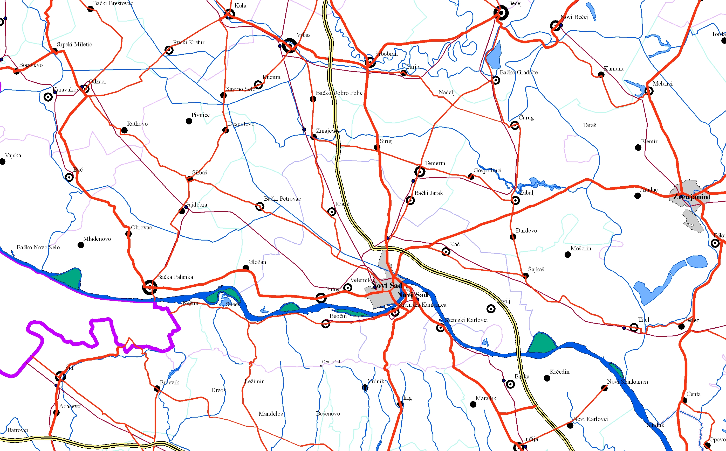
Graphic overview for EuroRegionalMap
EuroRegionalMap EuroRegionalMap (ERM) is a pan-European dataset containing topographic information at the scale 1:250 000 covering 51 European countries and territories … Serbia Oct. 30, 2017 Republic Geodetic Authority otherRestrictions
Graphic overview for Geographical-tourist map of Serbia at a scale of 1 : 500 000
Geographical-tourist map of Serbia at a scale of 1 : 500 000 Geographic and tourist map of Serbia at a scale of 1 : 500 000 is a digital geographic map based … Serbia Sept. 24, 2020 Republic Geodetic Authority otherRestrictions
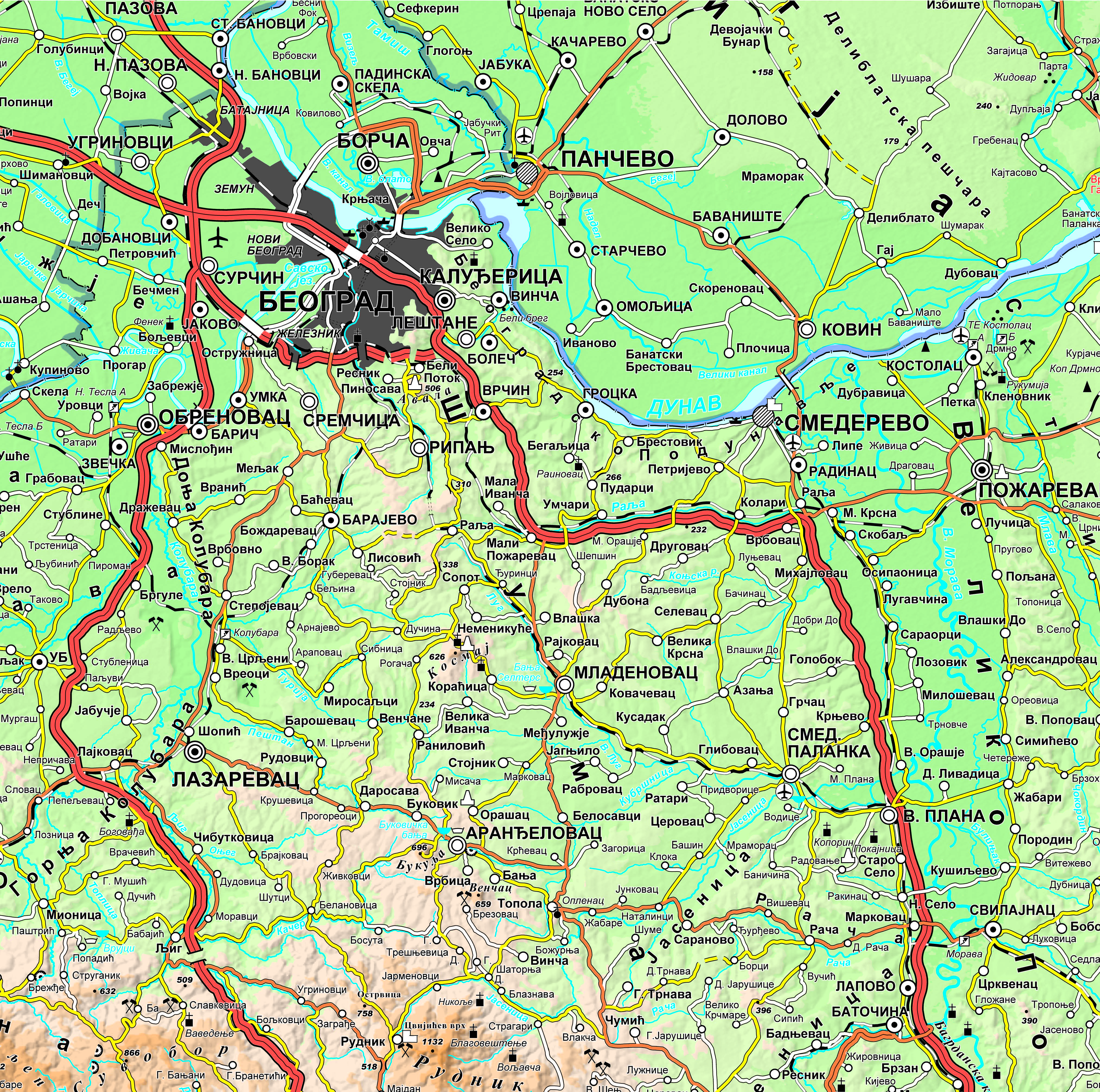
Graphic overview for Geographical-tourist map of Serbia at a scale of 1: 300 000
Geographical-tourist map of Serbia at a scale of 1: 300 000 Geographic and tourist map of Serbia at a scale of 1: 300 000 is a digital geographic map based on … Serbia Sept. 24, 2020 Republic Geodetic Authority otherRestrictions
Showing 10 of 31 records (filtered)
« first previous Page 2 of 3. next last »