Showing 10 of 215 records (filtered)
Applied filters: Topic Category: environment × INSPIRE Theme: HY: Hydrography × Clear all filters
« first previous Page 5 of 21. next last »
Preview
Title
Abstract
Country
INSPIRE Theme
Publication Date
Responsible Party
Topic Categories
Keywords
Access Constraints
Actions
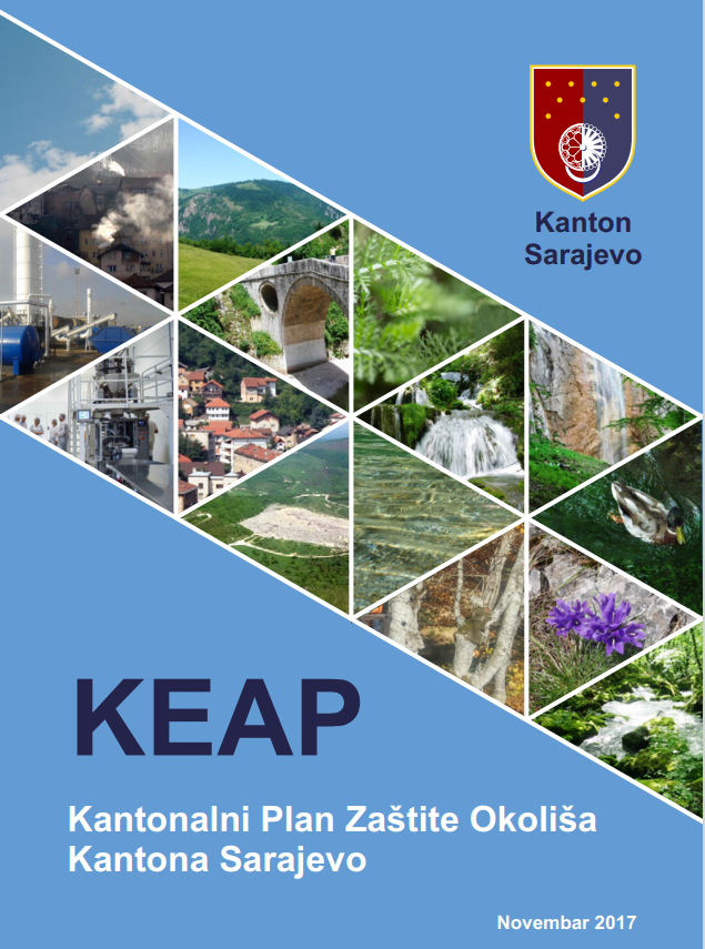
Graphic overview for Cantonal Environmental Protection Plan of the Sarajevo Canton
Cantonal Environmental Protection Plan of the Sarajevo Canton The Cantonal Environmental Protection Plan of Sarajevo Canton (KEAP KS) ("Official Gazette of Sarajevo Canton", number 47/17) was adopted in … Bosnia and Herzegovina Nov. 1, 2017 Ministry of Physical Planning, Construction and Environmental Protection of Sarajevo Canton other Restrictions
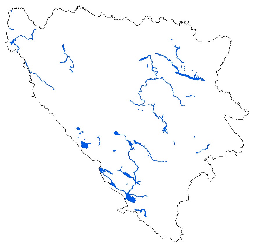
Graphic overview for Digital orthophoto 2018 (LiDAR project)
Digital orthophoto 2018 (LiDAR project) Within the project "Development of flood hazard and risk maps" in Bosnia and Herzegovina, one of the planned activities was … Bosnia and Herzegovina None Federal Administration for Geodetic and Property Legal Affairs other Restrictions
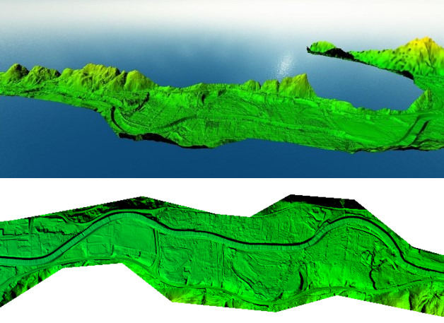
Graphic overview for Digital Terrain Model (LiDAR) 2018
Digital Terrain Model (LiDAR) 2018 digital terrain model (DTM) is a way of representing the terrain surface in digital form. Aerial laser scanning (LiDAR technology) … Bosnia and Herzegovina None Federal Administration for Geodetic and Property Legal Affairs other Restrictions
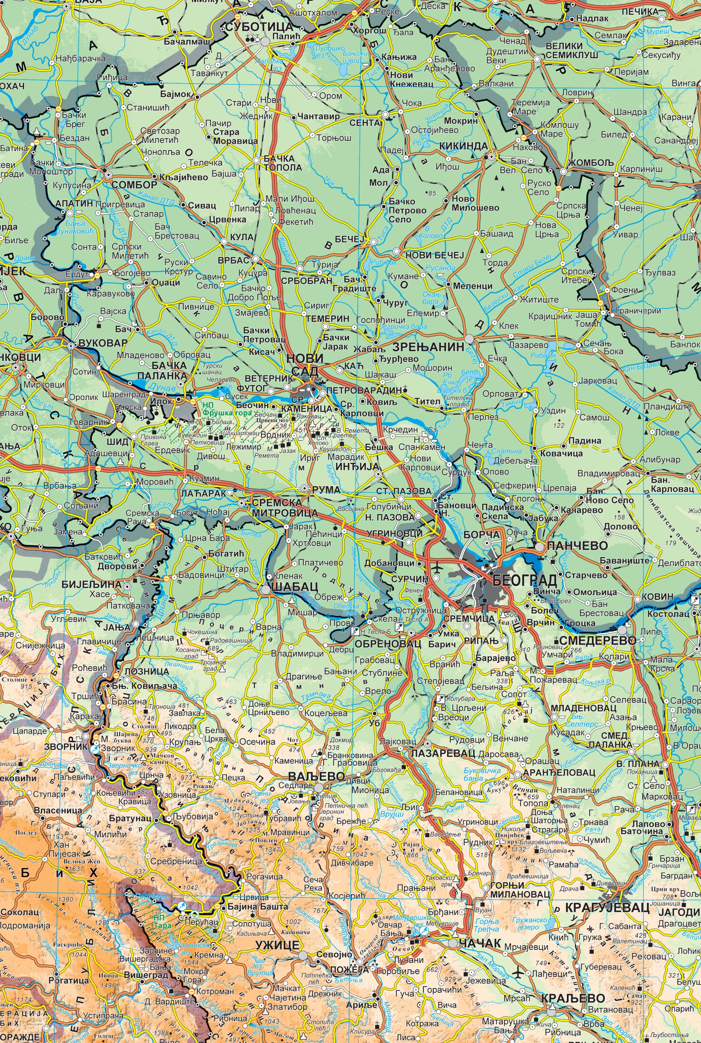
Graphic overview for Geographical-tourist map of Serbia at a scale of 1 : 500 000
Geographical-tourist map of Serbia at a scale of 1 : 500 000 Geographic and tourist map of Serbia at a scale of 1 : 500 000 is a digital geographic map based … Serbia Sept. 24, 2020 Republic Geodetic Authority otherRestrictions
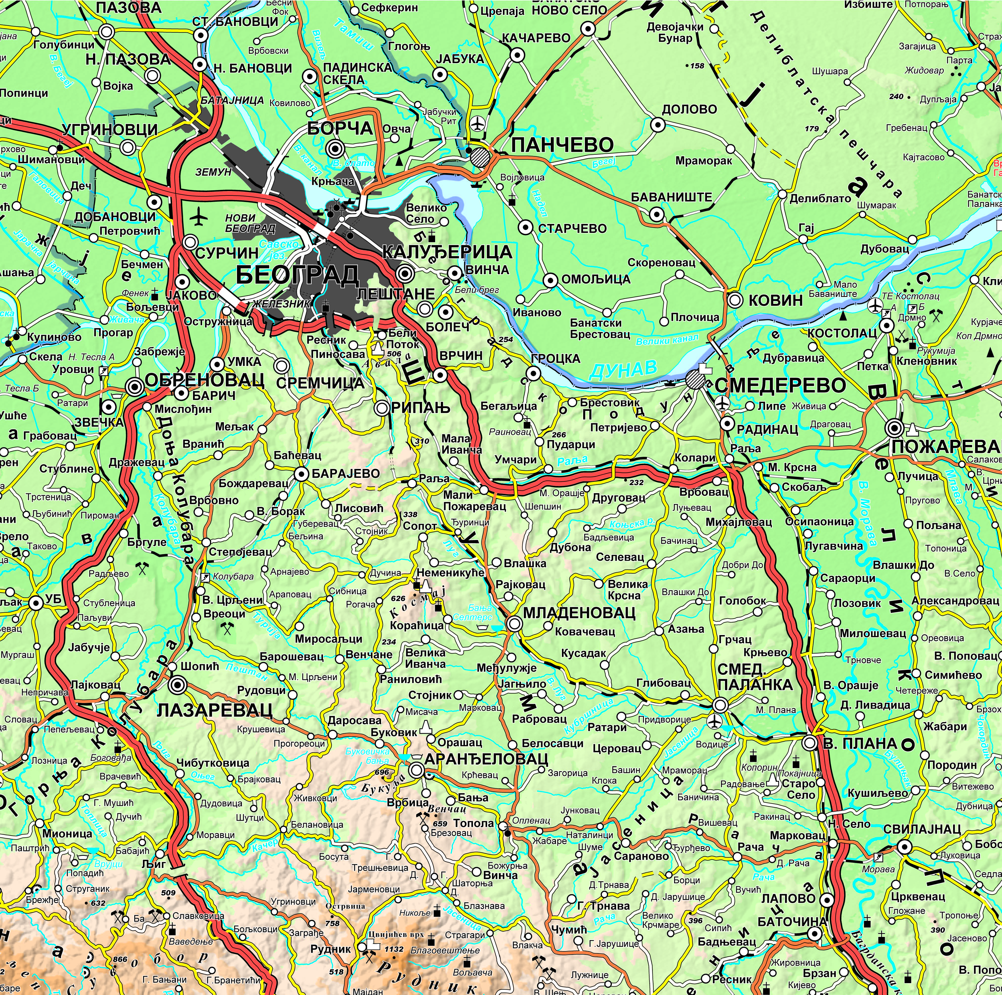
Graphic overview for Geographical-tourist map of Serbia at a scale of 1: 300 000
Geographical-tourist map of Serbia at a scale of 1: 300 000 Geographic and tourist map of Serbia at a scale of 1: 300 000 is a digital geographic map based on … Serbia Sept. 24, 2020 Republic Geodetic Authority otherRestrictions
Graphic overview for Geographical map of Serbia at a scale of 1 : 1 000 000
Geographical map of Serbia at a scale of 1 : 1 000 000 Geographical map of Serbia at a scale of 1 : 1 000 000 is a digital geographic map based on … Serbia Sept. 24, 2020 Republic Geodetic Authority otherRestrictions
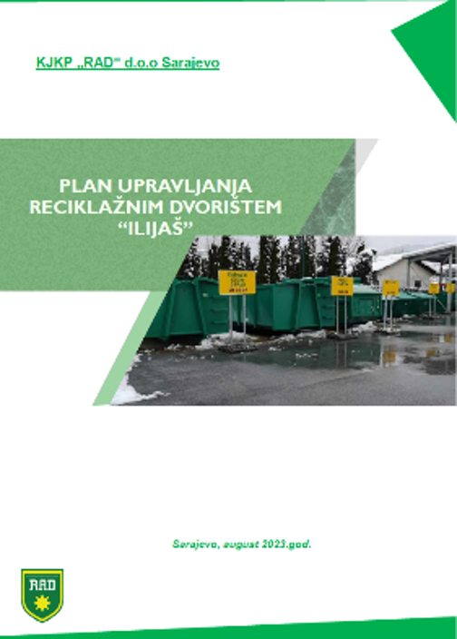
Graphic overview for Management plan of the "Ilijaš" recycling yard
Management plan of the "Ilijaš" recycling yard The recycling yard facilitates the disposal of waste types that do not fall into mixed household waste, such as recyclable … Bosnia and Herzegovina Dec. 1, 2023 KJKP "RAD" doo Sarajevo copyright
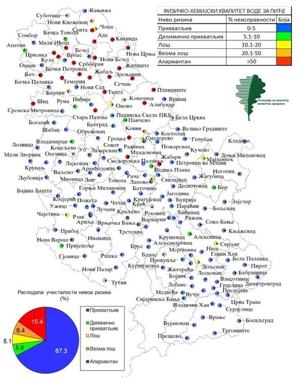
Graphic overview for Monitoring of tap water quality
Monitoring of tap water quality The indicator monitors the share of drinking water samples that do not meet the prescribed values of drinking water parameters … Serbia Jan. 1, 1970 Environmental Protection Agency copyright
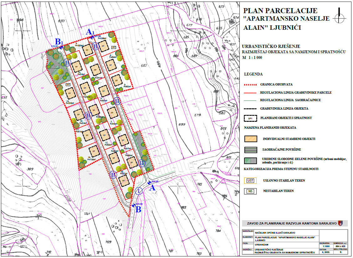
Graphic overview for Plot plan "Apartment complex Alain - Ljubnići" Ilijaš
Plot plan "Apartment complex Alain - Ljubnići" Ilijaš The spatial coverage of 2.47 ha is located in the southwestern part of the settlement of Ljubnići, Municipality of Ilijaš. … Bosnia and Herzegovina Feb. 24, 2022 Sarajevo Canton Development Planning Institute other Restrictions
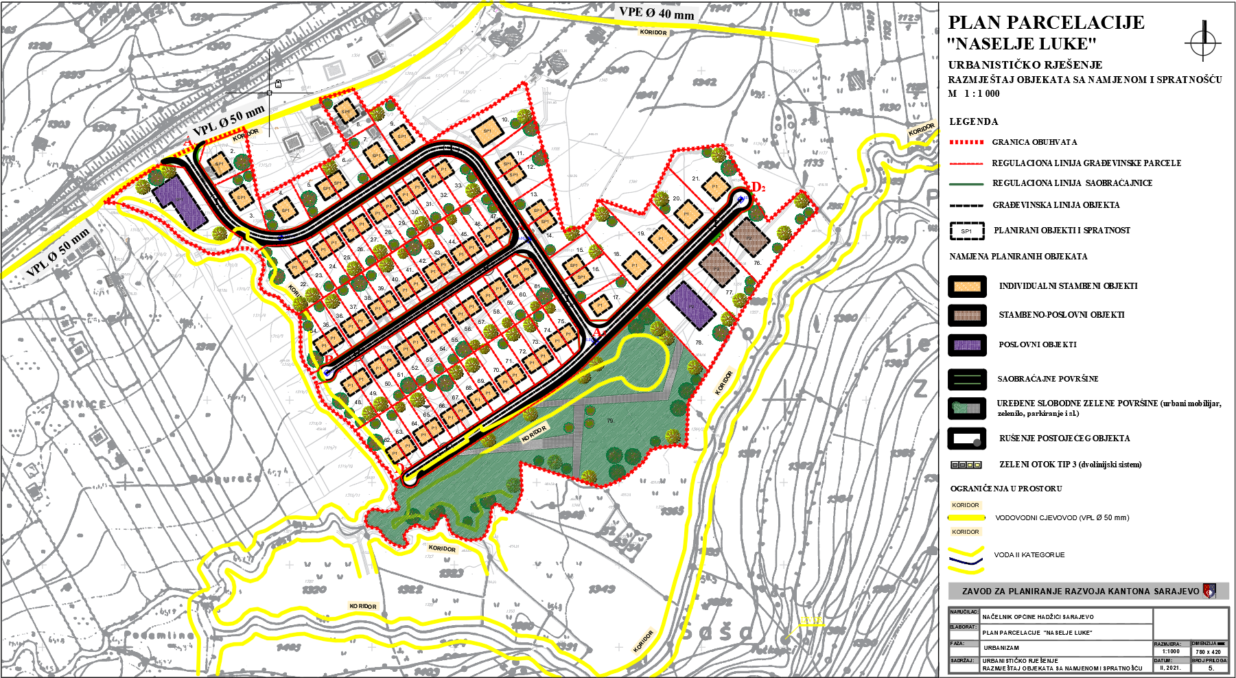
Graphic overview for Plot plan "Naselje Luka" Tarčin
Plot plan "Naselje Luka" Tarčin The detailed planning document, the subdivision plan for the "Naselje Luka" Tarčin settlement, is based on the adopted land use … Bosnia and Herzegovina Feb. 25, 2021 Sarajevo Canton Development Planning Institute other Restrictions
Showing 10 of 215 records (filtered)
« first previous Page 5 of 21. next last »