Showing 10 of 329 records (filtered)
Applied filters: INSPIRE Theme: HY: Hydrography × Clear all filters
« first previous Page 8 of 33. next last »
Preview
Title
Abstract
Country
INSPIRE Theme
Publication Date
Responsible Party
Topic Categories
Keywords
Access Constraints
Actions
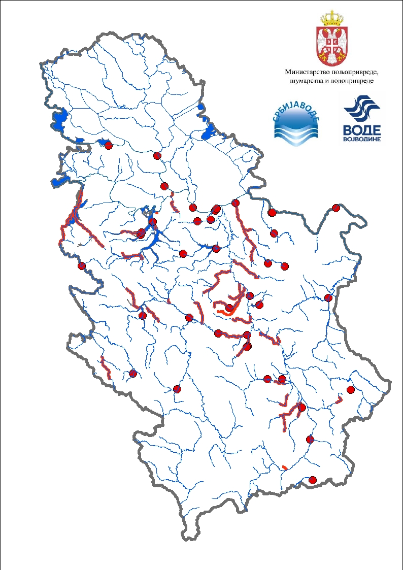
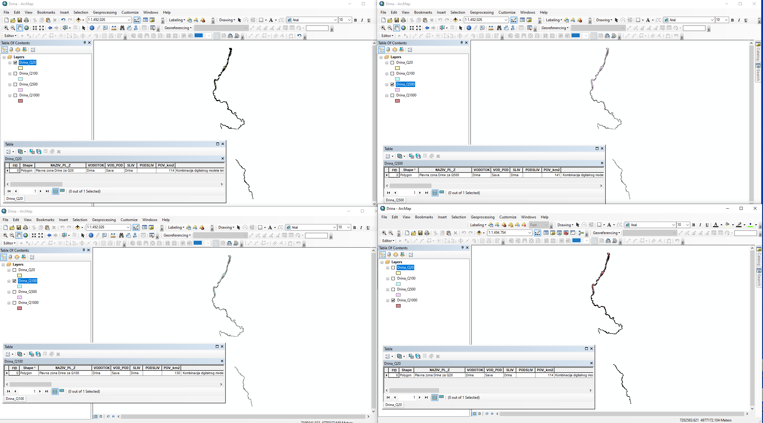
Graphic overview for Drina River Basin Management Project in the Western Balkans
Drina River Basin Management Project in the Western Balkans Western Balkans Drina River Basin Management Project (WBDRBMP) - Drina River Basin Water Resources Study (DRB) and hydrological and hydraulic … Serbia None PWMC Srbijavode copyright
Graphic overview for Educational Institutions
Educational Institutions The data were officially received from the Ministry of Education and Sports, with letter no. 9259/1 prot., dated 23.12.2014 and … Albania Jan. 1, 2015 Ministry of Education and Sports Not specified copyright
Graphic overview for EuroRegionalMap
EuroRegionalMap EuroRegionalMap (ERM) is a pan-European dataset containing topographic information at the scale 1:250 000 covering 51 European countries and territories … Serbia Oct. 30, 2017 Republic Geodetic Authority otherRestrictions
Graphic overview for Expertise of flood events
Expertise of flood events Expertise of flood events - Reconstruction of flood event - May 2014 The projects "Expertise of flood events (2014 - … Serbia None PWMC Srbijavode copyright
Graphic overview for First-order watercourses
First-order watercourses Surface waters on the territory of the Republic of Serbia, according to their importance for water management, are divided into … Serbia None PWMC Srbijavode copyright
Graphic overview for Flood risk maps
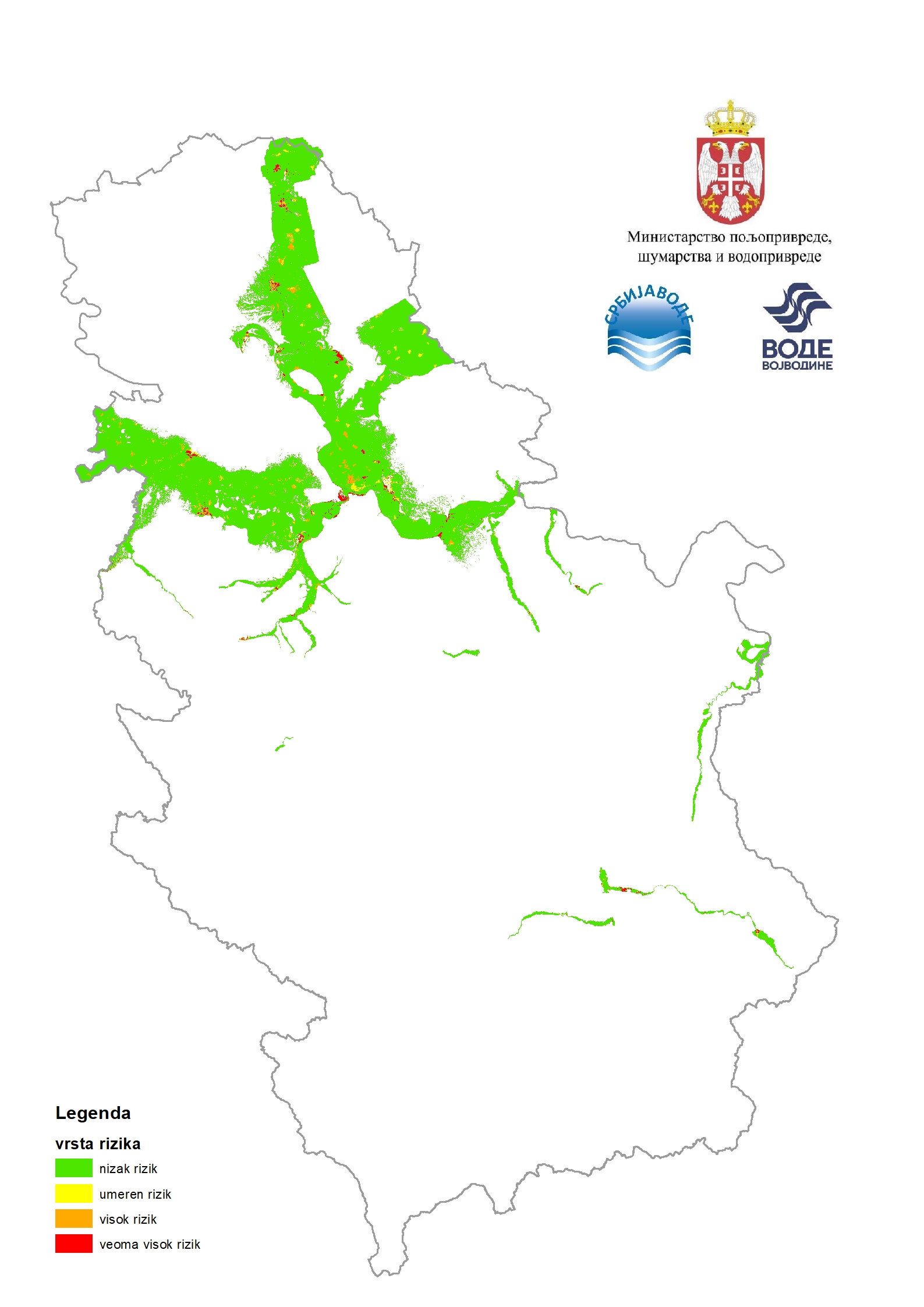
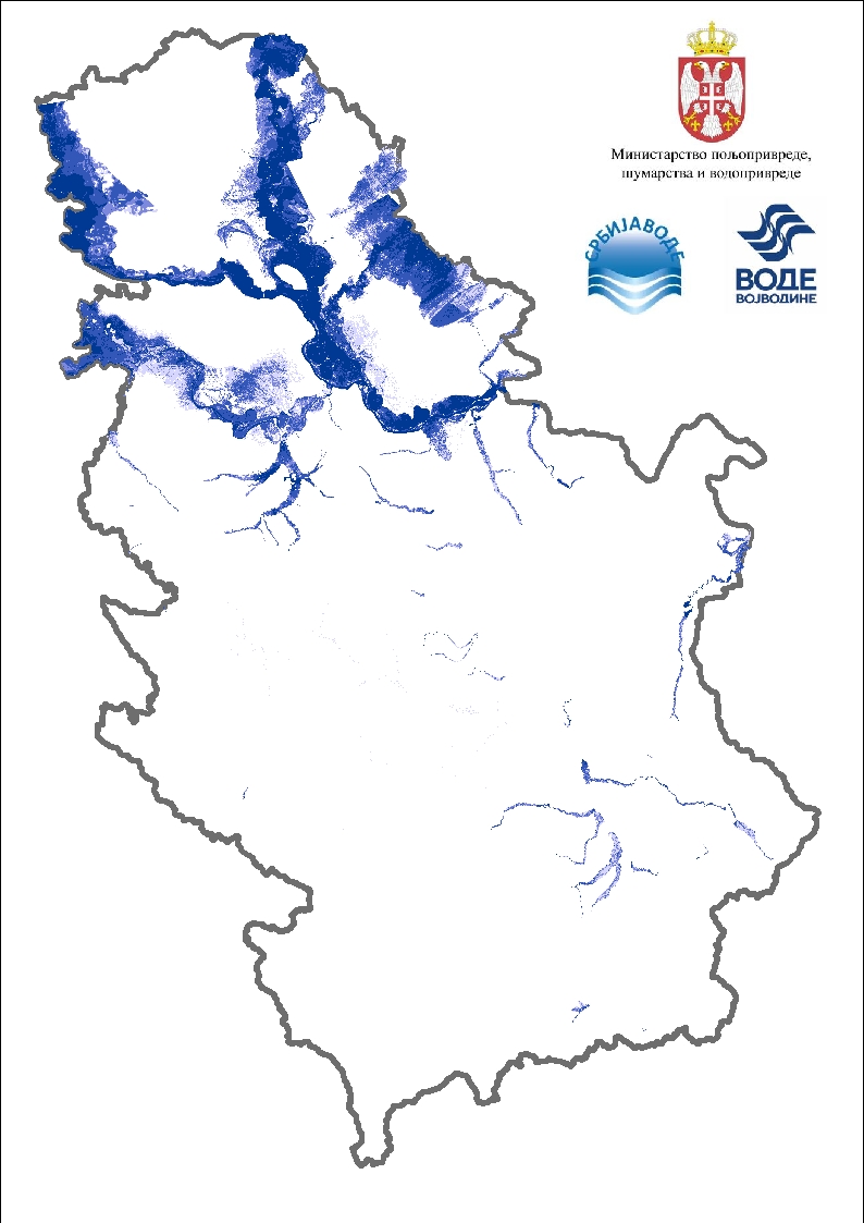
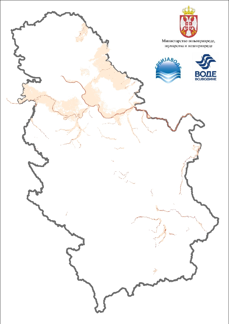
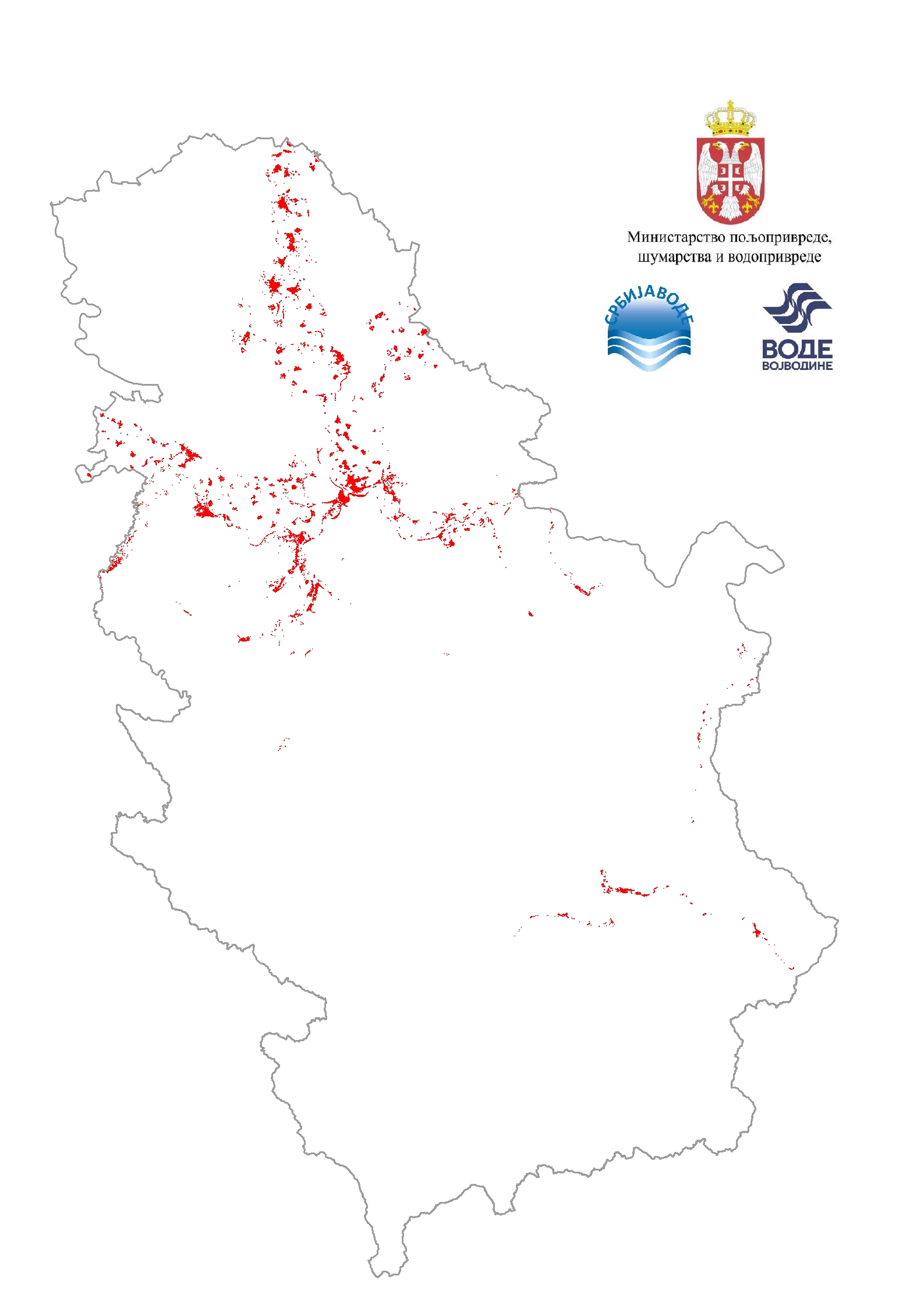
Flood risk maps Flood risk maps are created for each significant flood area determined by the preliminary flood risk assessment. For the purposes … Serbia None PWMC Srbijavode copyright
Graphic overview for Flood risk maps
Flood risk maps Flood hazard maps are created for each significant flood area determined by a preliminary flood risk assessment. For the purposes … Serbia None PWMC Srbijavode copyright
Graphic overview for Flood risk maps - speed display
Flood risk maps - speed display Flood hazard maps are created for each significant flood area determined by a preliminary flood risk assessment. For the purposes … Serbia None PWMC Srbijavode copyright
Graphic overview for Flood risk maps / Total risk
Flood risk maps / Total risk Flood risk maps are created for each significant flood area determined by the preliminary flood risk assessment. For the purposes … Serbia None PWMC Srbijavode copyright
Graphic overview for Floods of the past
Floods of the past Past floods are those that happened in the past. Important floods from the past are important for the analysis. A … Serbia None PWMC Srbijavode copyright
Showing 10 of 329 records (filtered)
« first previous Page 8 of 33. next last »