Showing 4 of 4 records (filtered)
Applied filters: Topic Category: environment × Keywords: CO × INSPIRE Theme: OI: Orthoimagery × Clear all filters
Preview
Title
Abstract
Country
INSPIRE Theme
Publication Date
Responsible Party
Topic Categories
Keywords
Access Constraints
Actions
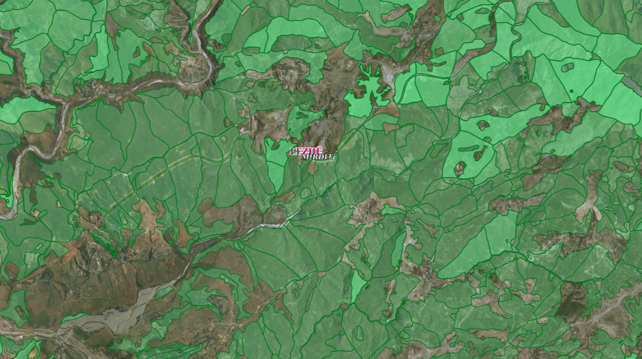
Graphic overview for ALFIS, Forest plot
ALFIS, Forest plot Forest parcel or “Plot” is the name of the forest area, with clear natural boundaries, which is created by dividing … Albania May 14, 2026 National Forestry Agency (NFA) copyright
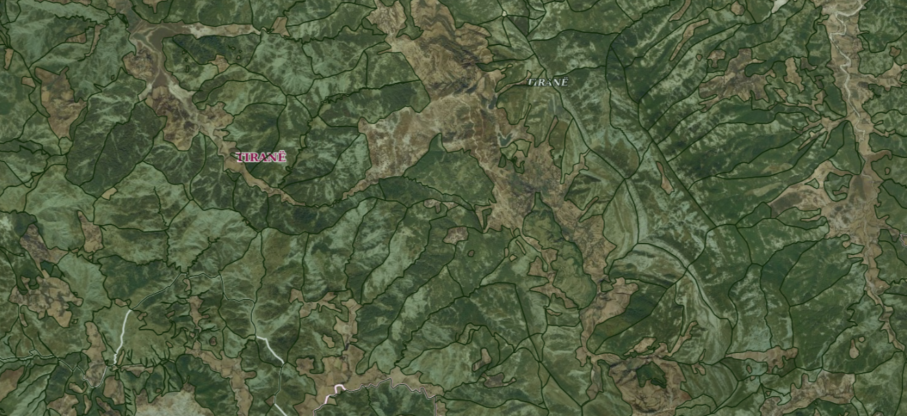
Graphic overview for ALFIS, Forest sub-plot
ALFIS, Forest sub-plot Sub-plot or “Sub-plot” is a surface unit with a minimum size of 0.5 ha, which serves for the assessment of … Albania May 14, 2026 National Forestry Agency (NFA) copyright
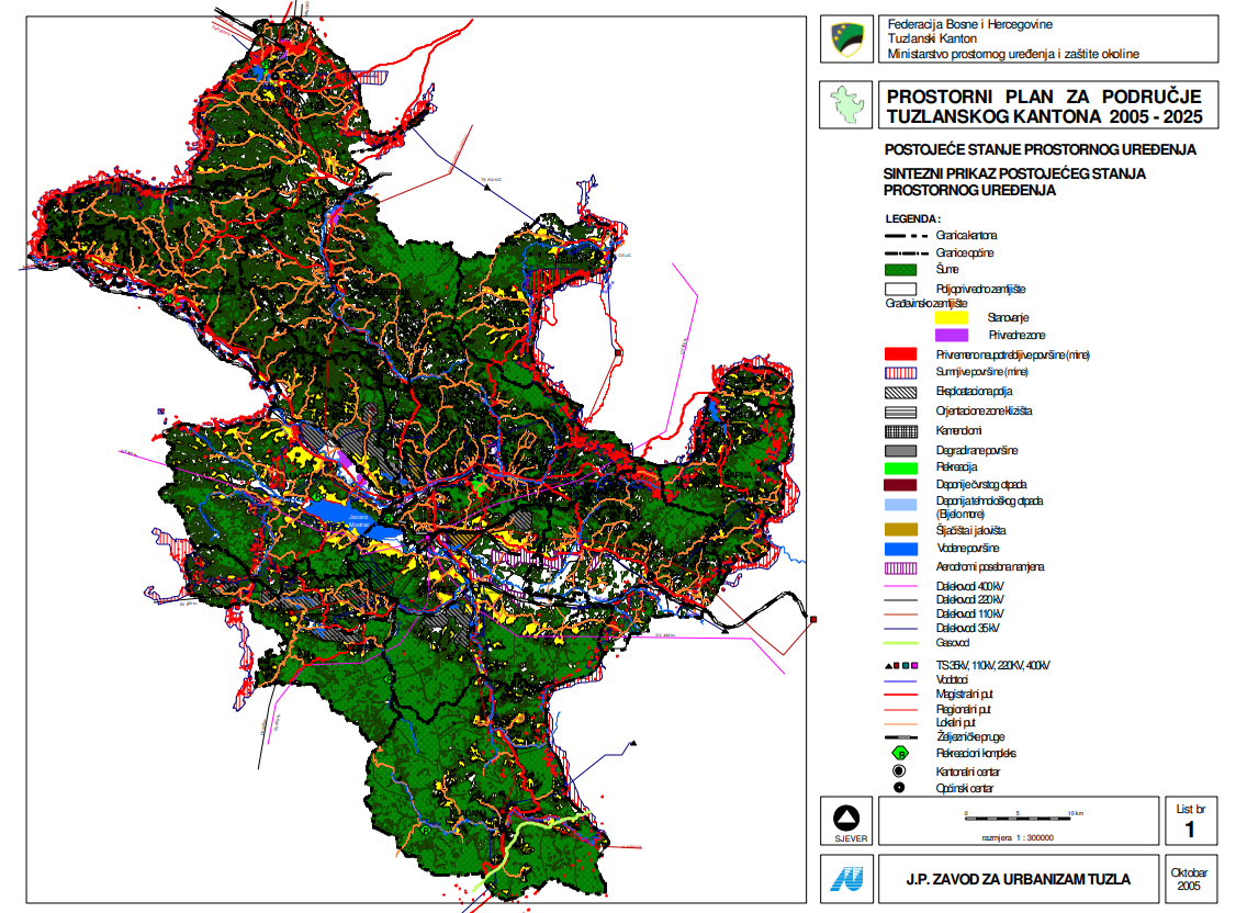
Graphic overview for Spatial plan for the area of Tuzla Canton 2005-2025.
Spatial plan for the area of Tuzla Canton 2005-2025. The Spatial Plan for the Tuzla Canton 2005-2025 is a binding planning document that guides the development of cities/municipalities, i.e. … Bosnia and Herzegovina None Ministry of Physical Planning and Environmental Protection of the Canton of Tuzla otherRestrictions
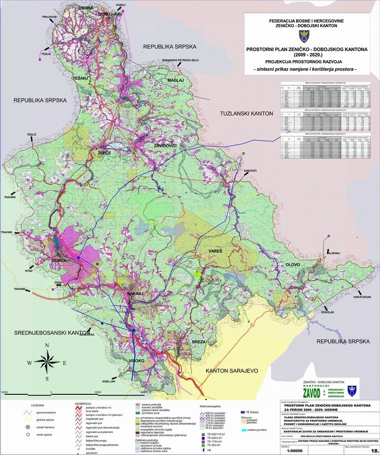
Graphic overview for Spatial Plan of Zenica-Doboj Canton 2009-2029.
Spatial Plan of Zenica-Doboj Canton 2009-2029. The Spatial Plan of the Zenica-Doboj Canton is the first mandatory planning document for the territory of the Canton, which … Bosnia and Herzegovina Feb. 20, 2009 Institute for Urban Planning and Spatial Development of Zenica-Doboj Canton otherRestrictions
Showing 4 of 4 records (filtered)