Showing 10 of 10 records (filtered)
Applied filters: Keywords: NO × INSPIRE Theme: OI: Orthoimagery × Clear all filters
Preview
Title
Abstract
Country
INSPIRE Theme
Publication Date
Responsible Party
Topic Categories
Keywords
Access Constraints
Actions
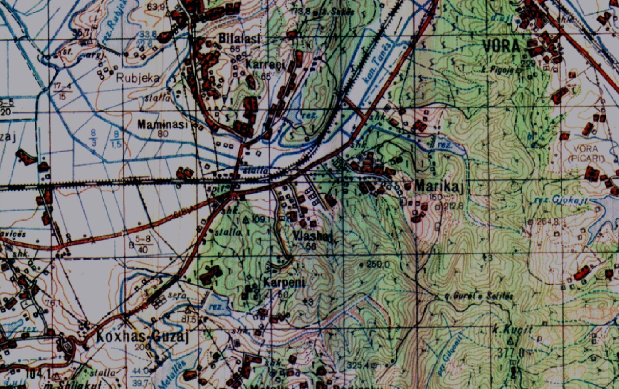
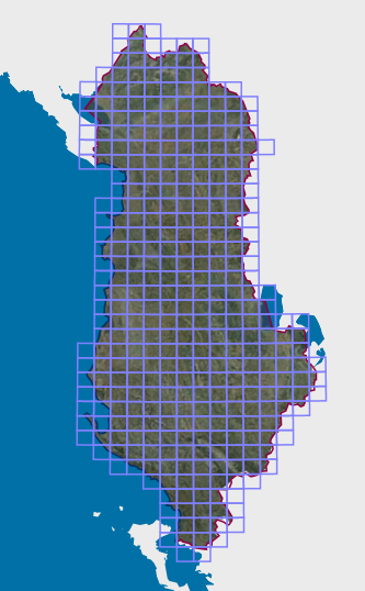
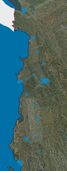
Graphic overview for Base Map, Topographic Map 1:50 000
Base Map, Topographic Map 1:50 000 Topographic maps of scale 1:50000 were published by the Institute of Geography and Military Infrastructure (formerly ITU), in the period … Albania Jan. 1, 2015 Institute of Geography and Military Infrastructure (formerly ITU) otherRestrictions
Graphic overview for Map Nomenclature 1:10000
Map Nomenclature 1:10000 These are the data created by the digitalization of the 1:10000 scale topographic map frame, which are scanned, georeferenced and … Albania Oct. 13, 2020 State Authority for Geospatial Information (ASIG) copyright
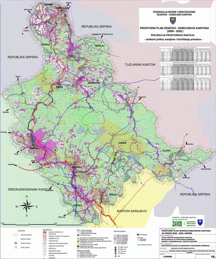
Graphic overview for Spatial Plan of Zenica-Doboj Canton 2009-2029.
Spatial Plan of Zenica-Doboj Canton 2009-2029. The Spatial Plan of the Zenica-Doboj Canton is the first mandatory planning document for the territory of the Canton, which … Bosnia and Herzegovina Feb. 20, 2009 Institute for Urban Planning and Spatial Development of Zenica-Doboj Canton otherRestrictions
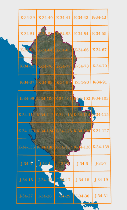
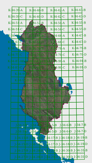
Graphic overview for Map Nomenclature 1:100000
Map Nomenclature 1:100000 These are the data generated by the digitalization of the 100,000 scale topographic map frame, which have been scanned, georeferenced … Albania Oct. 13, 2020 State Authority for Geospatial Information copyright
Graphic overview for Map Nomenclature 1:2500
Map Nomenclature 1:2500 These are the data created by the digitalization of the 2500 scale topographic map frame, which have been scanned, georeferenced … Albania Oct. 13, 2020 State Authority for Geospatial Information copyright
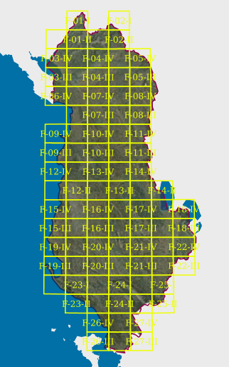
Graphic overview for Map Nomenclature 1:25000
Map Nomenclature 1:25000 These are the data generated by the digitalization of the 1:25000 scale topographic map frame, which have been scanned, georeferenced … Albania Oct. 13, 2020 State Authority for Geospatial Information copyright
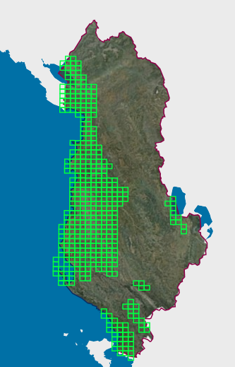
Graphic overview for Map Nomenclature 1:5000
Map Nomenclature 1:5000 These are the data generated by the digitalization of the 5000 scale topographic map frame, which have been scanned, georeferenced … Albania Oct. 13, 2020 State Authority for Geospatial Information copyright
Graphic overview for Map Nomenclature 1:50000
Map Nomenclature 1:50000 These are the data generated by the digitalization of the 50,000 scale topographic map frame, which have been scanned, georeferenced … Albania Oct. 13, 2020 State Authority for Geospatial Information copyright
Graphic overview for Map Nomenclature 1:50000 (Italian)
Map Nomenclature 1:50000 (Italian) These are the data created by the digitization of the topographic map frame of scale 1:50000 (Italian), which are georeferenced … Albania April 14, 2022 State Authority for Geospatial Information copyright
Graphic overview for Nomenclature 1:500 Cities (AQTN)
Nomenclature 1:500 Cities (AQTN) The creation of the 1:500 nomenclature for the cities of Tirana, Durrës, Kavajë, Rrogozinë, Shijak, Krujë, Vorë, Shkodër, Lezhë, Laç, … Albania Feb. 15, 2022 State Authority for Geospatial Information copyright
Showing 10 of 10 records (filtered)