Showing 10 of 78 records (filtered)
Applied filters: Topic Category: imageryBaseMapsEarthCover × INSPIRE Theme: OI: Orthoimagery × Clear all filters
« first previous Page 7 of 8. next last »
Preview
Title
Abstract
Country
INSPIRE Theme
Publication Date
Responsible Party
Topic Categories
Keywords
Access Constraints
Actions
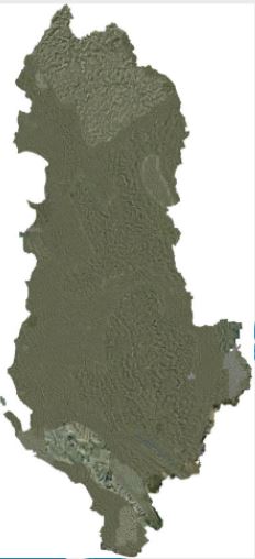
Graphic overview for Orthophoto 2001
Orthophoto 2001 The orthophoto of the Year 2001 covers an area of approximately 3373 km2. This orthophoto was produced in GEOTIFF format … Albania June 9, 2021 State Authority for Geospatial Information copyright
Graphic overview for Orthophoto 2007
Orthophoto 2007 Orthophoto, produced from aerial photography of 2007 for the territory of Albania, divided into three lots. The first lot with … Albania Jan. 1, 2015 State Cadastral Agency copyright
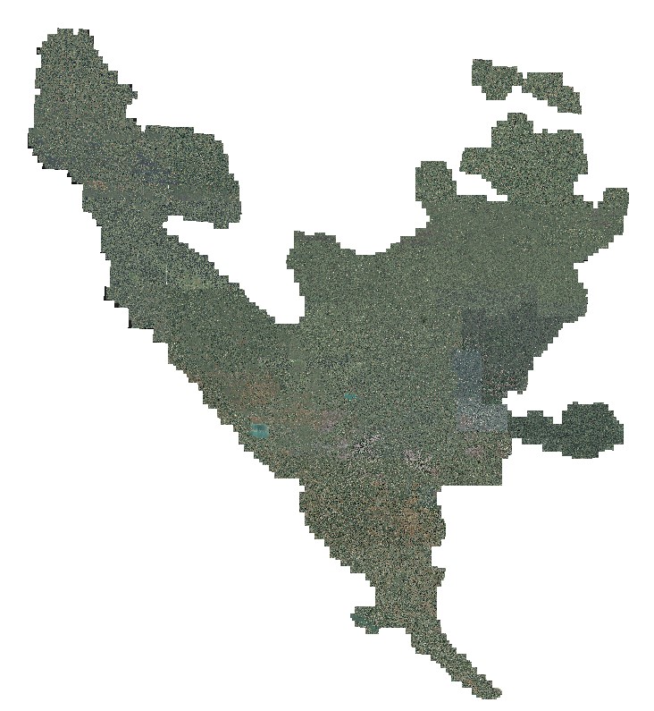
Graphic overview for Orthophoto 2008
Orthophoto 2008 Digital orthophoto images of the entire territory of the Federation of Bosnia and Herzegovina. The images were created as part … Bosnia and Herzegovina Jan. 1, 2009 Federal Administration for Geodetic and Property Legal Affairs other Restrictions
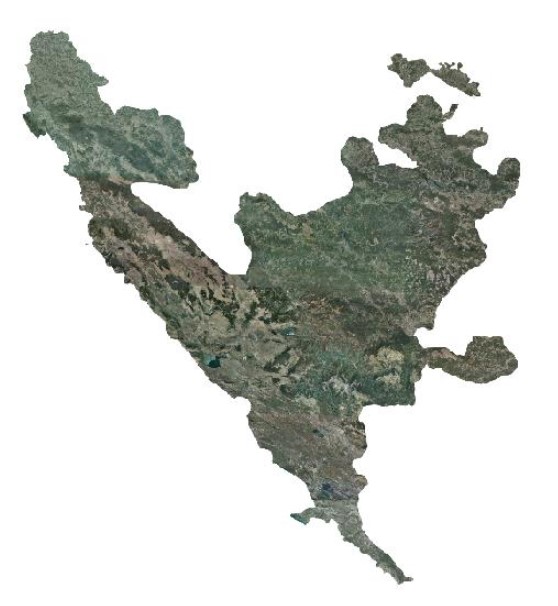
Graphic overview for Orthophoto 2012
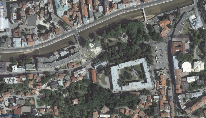
Orthophoto 2012 Digital orthophoto images of the Federation of Bosnia and Herzegovina at scales of 1:2500 and 1:5000, created based on aerial … Bosnia and Herzegovina Jan. 1, 2013 Federal Administration for Geodetic and Property Legal Affairs other Restrictions
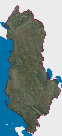
Graphic overview for Orthophoto 2015 (20cm)
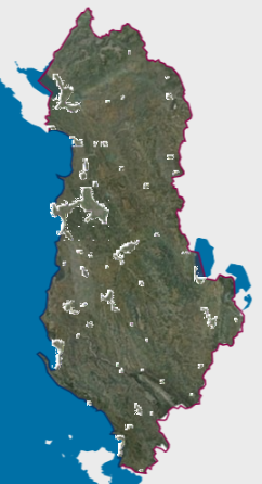
Orthophoto 2015 (20cm) RGB orthophoto period 2015-2017 with a resolution of 20 cm per pixel covering the territory of the Republic of Albania. … Albania Dec. 1, 2017 State Authority for Geospatial Information copyright
Graphic overview for Orthophoto 2015 (8cm)
Orthophoto 2015 (8cm) Orthophoto for urban areas in Albania, year 2015, first batch, created from aerial photography of 2015. With a resolution of … Albania Oct. 26, 2016 State Authority for Geospatial Information copyright
Graphic overview for Orthophoto 2018
Orthophoto 2018 Digital orthophoto images of the Federation of Bosnia and Herzegovina at scales of 1:2500 and 1:5000, created based on satellite … Bosnia and Herzegovina Jan. 1, 2019 Federal Administration for Geodetic and Property Legal Affairs other Restrictions
Graphic overview for Orthophoto 2018 (8cm)
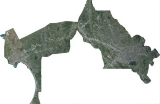
Orthophoto 2018 (8cm) This dataset is a 0.08 meter pixel resolution, RGB color orthophoto covering 375 square kilometers in the Tirana-Durres area. Orthophoto … Albania Aug. 22, 2018 State Authority for Geospatial Information copyright
Graphic overview for Orthophoto 2019 (UAV)
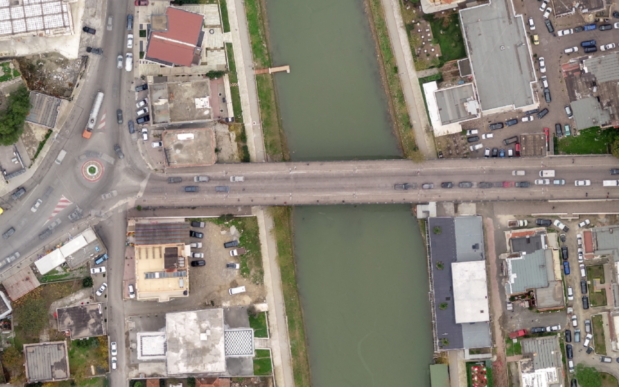
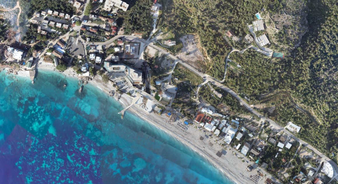
Orthophoto 2019 (UAV) Orthophoto year 2019, drone photography of 24 urban areas with a resolution of 4 cm/pixel. The data are in accordance … Albania Jan. 1, 2020 State Authority for Geospatial Information copyright
Graphic overview for Orthophoto 2024-2025 (UAV)
Orthophoto 2024-2025 (UAV) Orthophotos created with UAV technology enable the provision of updated geospatial data for areas with high development intensity. The data … Albania Aug. 21, 2025 State Authority for Geospatial Information copyright
Showing 10 of 78 records (filtered)
« first previous Page 7 of 8. next last »