Showing 4 of 4 records (filtered)
Applied filters: Topic Category: location × INSPIRE Theme: OI: Orthoimagery × Clear all filters
Preview
Title
Abstract
Country
INSPIRE Theme
Publication Date
Responsible Party
Topic Categories
Keywords
Access Constraints
Actions
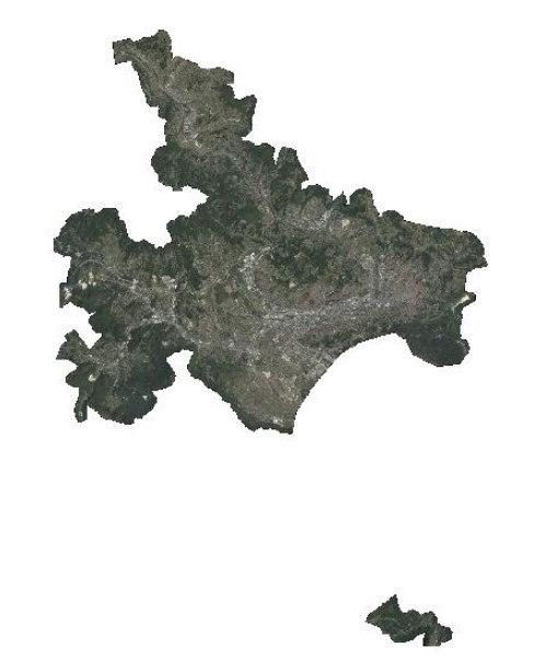
Graphic overview for Orthophoto 2017
Orthophoto 2017 Digital orthophoto images of the Sarajevo Canton area at a scale of 1:2500, created based on aerial photogrammetric imaging. The … Bosnia and Herzegovina Jan. 1, 2018 Federal Administration for Geodetic and Property Legal Affairs otherRestrictions
Graphic overview for Spatial plan for the area of special characteristics of part of the Modrac reservoir catchment area for the period 2016-2036.
Spatial plan for the area of special characteristics of part of the Modrac reservoir catchment area for the period 2016-2036. The Spatial Plan for the Area of Special Characteristics of the Part of the Modrac Reservoir Basin for the Period … Bosnia and Herzegovina Jan. 1, 2023 Ministry of Physical Planning and Environmental Protection of Tuzla Canton otherRestrictions
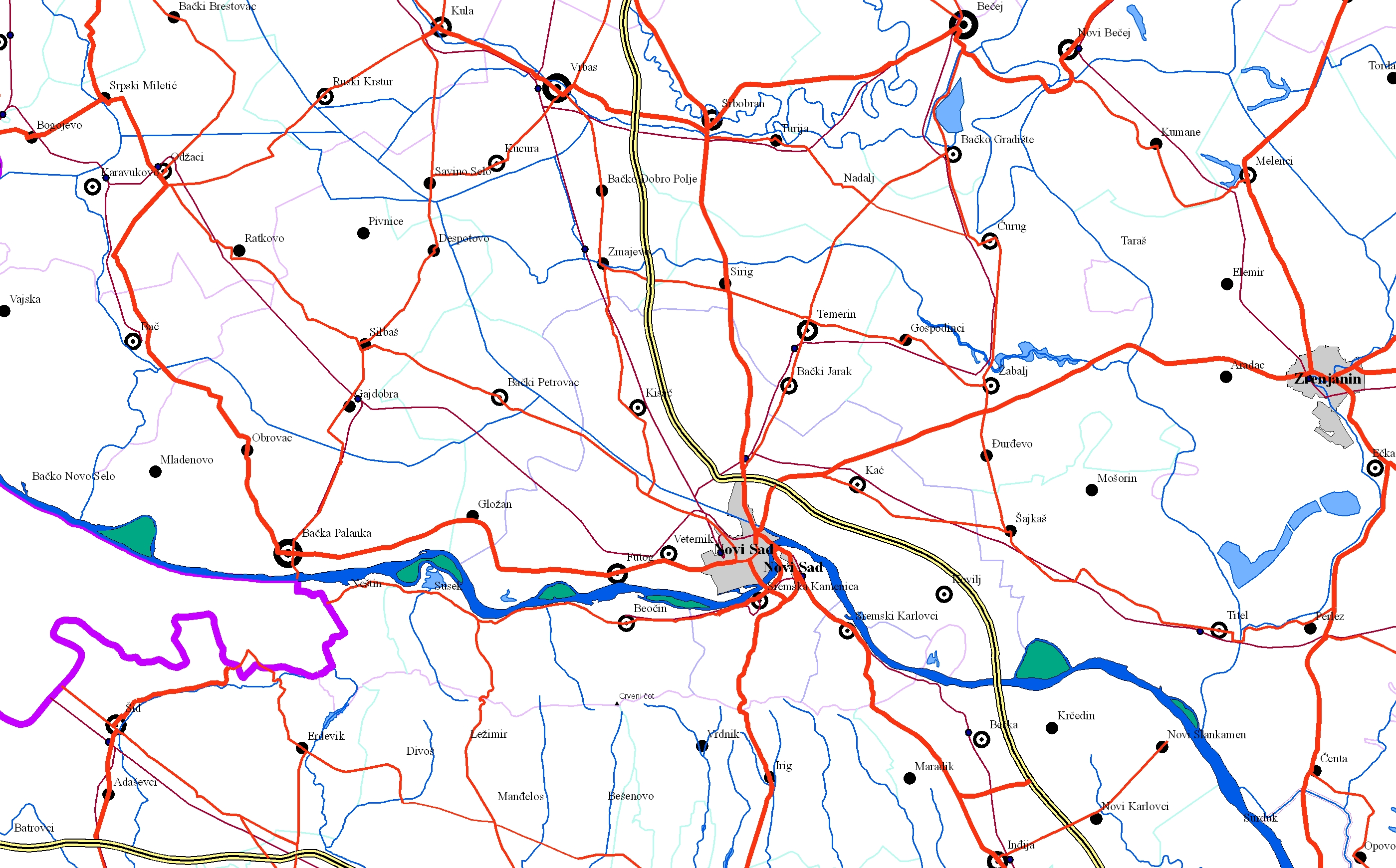
Graphic overview for EuroRegionalMap
EuroRegionalMap EuroRegionalMap (ERM) is a pan-European dataset containing topographic information at the scale 1:250 000 covering 51 European countries and territories … Serbia Oct. 30, 2017 Republic Geodetic Authority otherRestrictions
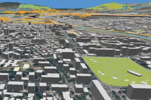
Graphic overview for Topographic maps - Topographic data set
Topographic maps - Topographic data set Cartographic Base 1:20 000 is a set of entities that have modeled natural and artificial objects on the earth's surface, … Serbia Aug. 20, 2016 Republic Geodetic Authority otherRestrictions
Showing 4 of 4 records (filtered)