Showing 10 of 249 records (filtered)
Applied filters: INSPIRE Theme: PD: Population Distribution — Demography × Clear all filters
« first previous Page 4 of 25. next last »
Preview
Title
Abstract
Country
INSPIRE Theme
Publication Date
Responsible Party
Topic Categories
Keywords
Access Constraints
Actions
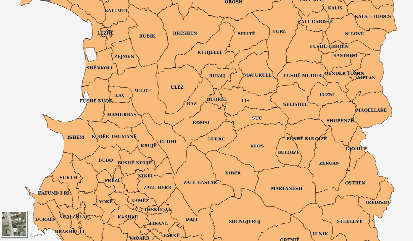
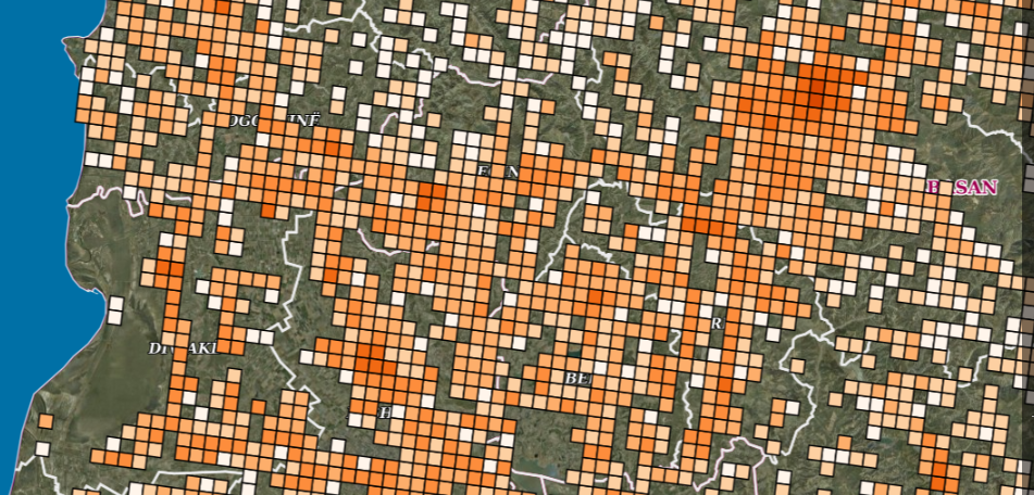
Graphic overview for Statistical Units (2023), Grid 1 km2 Census (INSTAT)
Statistical Units (2023), Grid 1 km2 Census (INSTAT) The 2023 Census data on the population distribution of the Republic of Albania at the Grid 1 Km² level are … Albania May 14, 2026 Institute of Statistics (INSTAT) copyright
Graphic overview for Statistical Units, Local Government Units Census (INSTAT)
Statistical Units, Local Government Units Census (INSTAT) Census 2011 data at the level of local units, Communes and Municipalities. The data are not in accordance with the … Albania Oct. 27, 2014 Institute of Statistics (INSTAT) copyright
Graphic overview for The Spatial plan of the region of the Treska watershed
The Spatial plan of the region of the Treska watershed The Spatial plan of the region of the Treska watershed is a management document, an integral development project, which is … North Macedonia Feb. 21, 2007 Spatial Planning Agency otherRestrictions
Graphic overview for Urban planning project "Milkos"
Urban planning project "Milkos" The detailed planning document of the urban development project "Milkos" is based on the adopted land use policy, development strategies … Bosnia and Herzegovina Dec. 30, 2019 Sarajevo Canton Development Planning Institute otherRestrictions
Graphic overview for Urban planning project "Tron - Šip"
Urban planning project "Tron - Šip" The detailed planning document of the urban development project "Tron - Šip" is based on the adopted land use policy, … Bosnia and Herzegovina July 22, 2010 Sarajevo Canton Development Planning Institute otherRestrictions
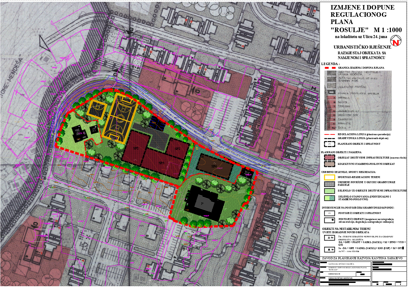
Graphic overview for Regulatory plan "Spatial units Rosulje" Vogošća
Regulatory plan "Spatial units Rosulje" Vogošća The detailed planning document, the Regulatory Plan "Spatial Units of Rosulje" Vogošća, is based on the adopted land use policy, … Bosnia and Herzegovina Sept. 30, 1980 Sarajevo Canton Development Planning Institute other Restrictions
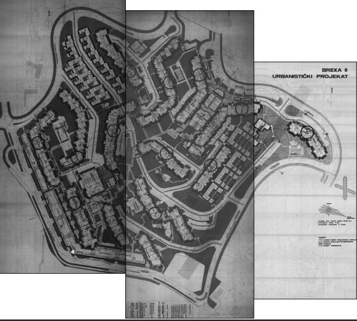
Graphic overview for Urban planning project "Residential settlement Breka II"
Urban planning project "Residential settlement Breka II" The detailed planning document of the urban development project "Residential settlement Breka II" is based on the adopted land use … Bosnia and Herzegovina Oct. 27, 1981 Sarajevo Canton Development Planning Institute other Restrictions
Graphic overview for Near-Real-Time Meteorological Synoptic Observations (SYNOP) for Bosnia and Herzegovina
Near-Real-Time Meteorological Synoptic Observations (SYNOP) for Bosnia and Herzegovina This dataset comprises near-real-time synoptic weather reports (SYNOP) from meteorological stations across Bosnia and Herzegovina. The data includes key atmospheric … Bosnia and Herzegovina Oct. 19, 2025 Bosnia and Herzegovina: Federal Hydrometeorological Institute of Bosnia and Herzegovina Open Data
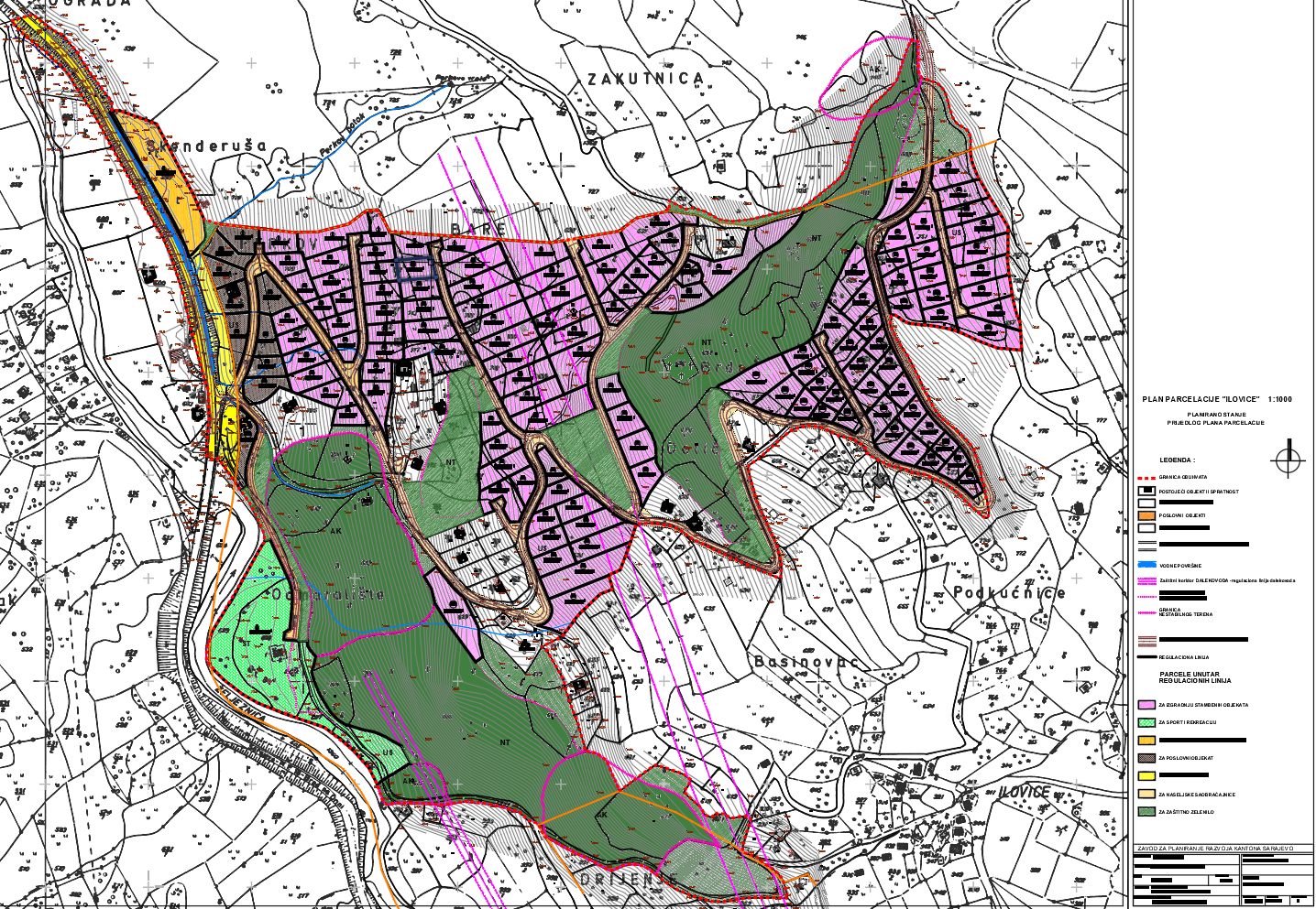
Graphic overview for "Ilovica" subdivision plan
"Ilovica" subdivision plan The detailed planning document of the "Ilovica" subdivision plan is based on the adopted land use policy, development strategies and … Bosnia and Herzegovina Oct. 3, 2011 Sarajevo Canton Development Planning Institute other Restrictions
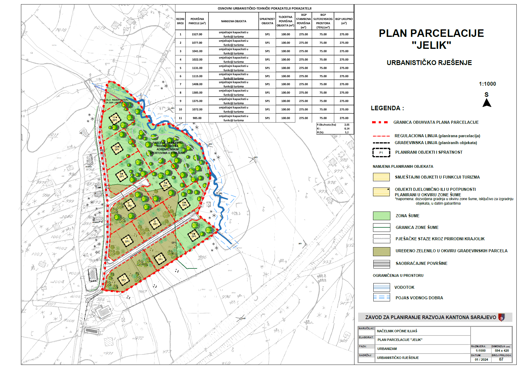
Graphic overview for "Jelik" subdivision plan
"Jelik" subdivision plan The detailed planning document, the "Jelik" subdivision plan, is based on the adopted land use policy, development strategies and programs, … Bosnia and Herzegovina July 31, 2024 Sarajevo Canton Development Planning Institute other Restrictions
Showing 10 of 249 records (filtered)
« first previous Page 4 of 25. next last »