Showing 8 of 18 records (filtered)
Applied filters: Keywords: National × INSPIRE Theme: TN: Transport Networks × Clear all filters
« first previous Page 2 of 2.
Preview
Title
Abstract
Country
INSPIRE Theme
Publication Date
Responsible Party
Topic Categories
Keywords
Access Constraints
Actions
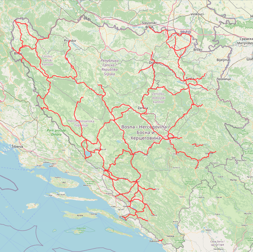
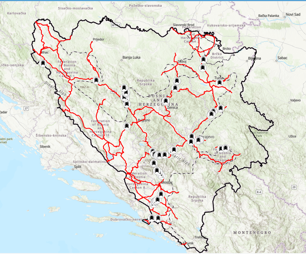
Graphic overview for Main road network of the Federation of Bosnia and Herzegovina
Main road network of the Federation of Bosnia and Herzegovina JP Ceste Federacije BiH doo Sarajevo is responsible for the main road infrastructure in the territory of the Federation of … Bosnia and Herzegovina Jan. 1, 2024 PC Roads of the Federation of Bosnia and Herzegovina doo Sarajevo other Restrictions
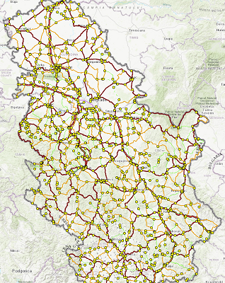
Graphic overview for PE Roads of Serbia - reference system of the state road network
PE Roads of Serbia - reference system of the state road network Spatial and descriptive data on the current reference system of state roads (RSDP) contain 3 classes of data: 1. Primary … Serbia Oct. 8, 2022 PE Roads of Serbia copyright
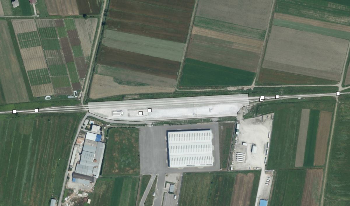
Graphic overview for Railway Transport Network
Railway Transport Network This dataset contains geospatial data for the railway transport network in the Republic of Albania. The data has been built … Albania June 18, 2025 State Authority for Geospatial Information copyright
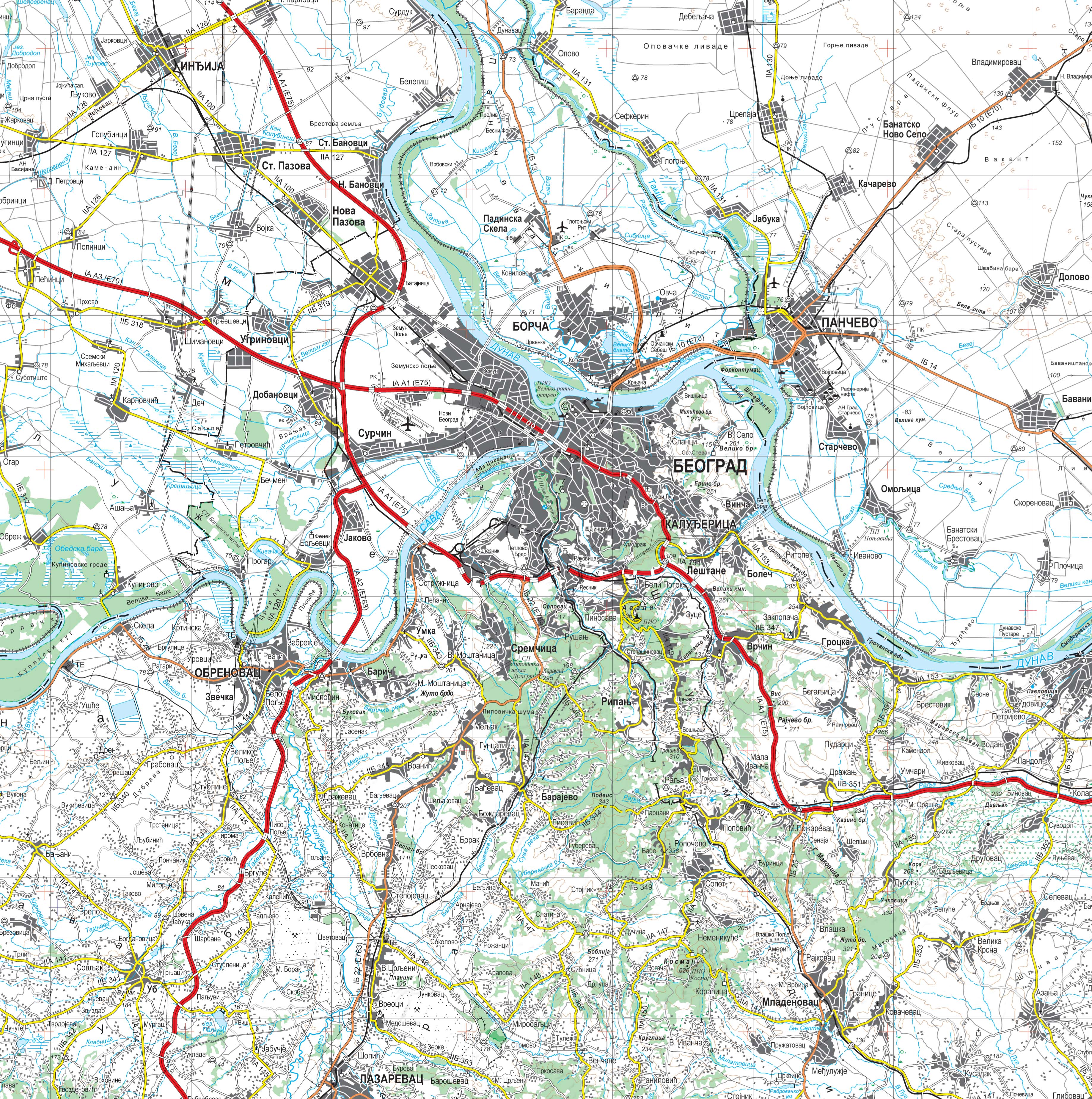
Graphic overview for Topographic map at a scale of 1 : 250 000
Topographic map at a scale of 1 : 250 000 Topographic map at a scale of 1 : 250 000 is a digital topographic map based on the cartographic database … Serbia Sept. 30, 2020 Republic Geodetic Authority otherRestrictions
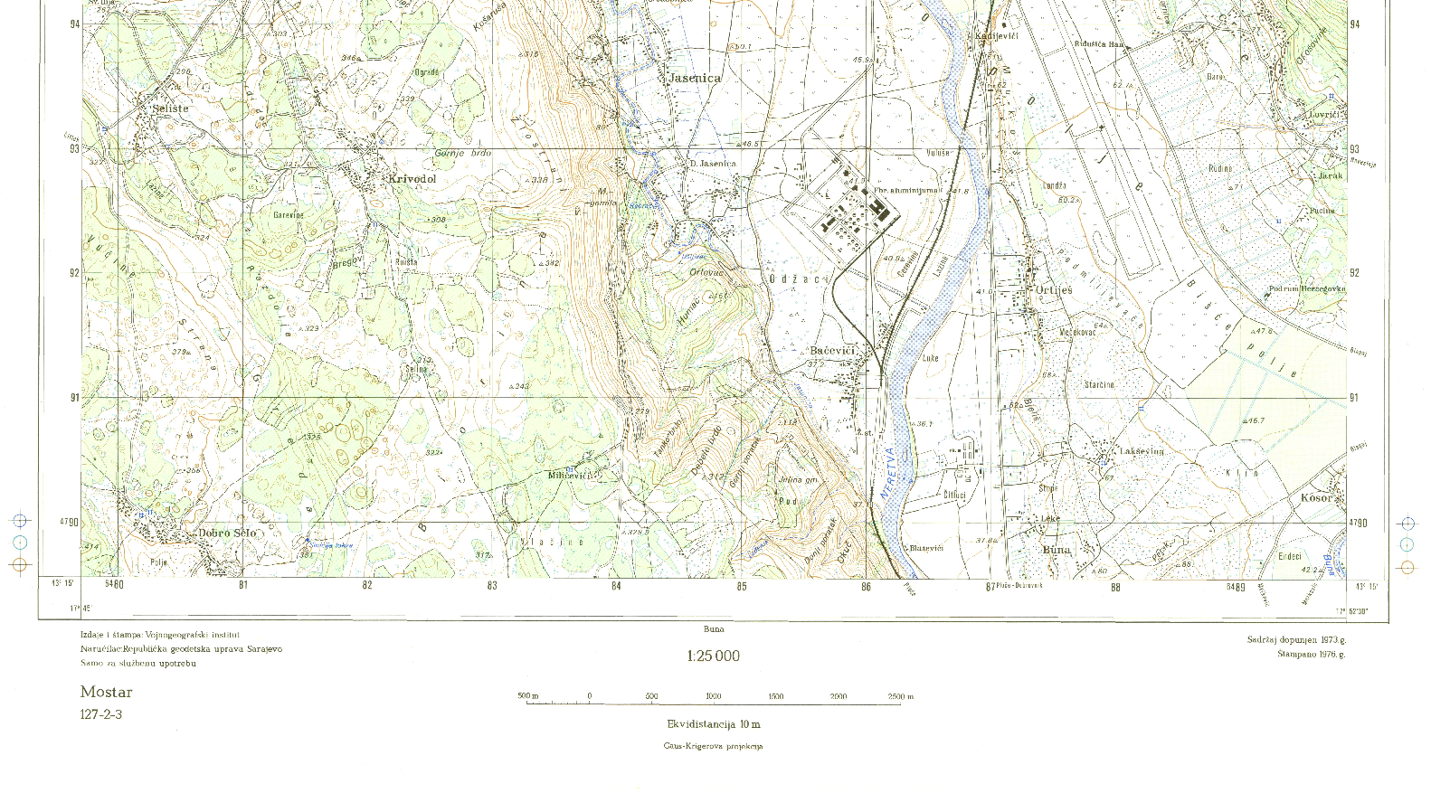
Graphic overview for Topographic map of Bosnia and Herzegovina R 1:25 000
Topographic map of Bosnia and Herzegovina R 1:25 000 Geodetic survey of the SR BiH from 1947 to 1980. The map was produced by the Military Geographical Institute Belgrade … Bosnia and Herzegovina Jan. 1, 1986 Federal Administration for Geodetic and Property Legal Affairs other Restrictions
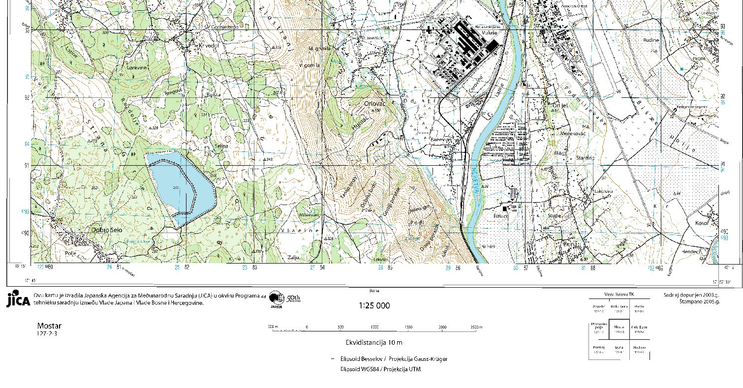
Graphic overview for Topographic map of Bosnia and Herzegovina R 1:25 000 JICA
Topographic map of Bosnia and Herzegovina R 1:25 000 JICA In Bosnia and Herzegovina in 2002, a project was launched - creation of a digital topographic map M=1:25000 (TK 25) … Bosnia and Herzegovina Jan. 1, 2005 Federal Administration for Geodetic and Property Legal Affairs other Restrictions
Graphic overview for Topographic maps - Topographic data set
Topographic maps - Topographic data set Cartographic Base 1:20 000 is a set of entities that have modeled natural and artificial objects on the earth's surface, … Serbia Aug. 20, 2016 Republic Geodetic Authority otherRestrictions
Graphic overview for Tunnels on the main road network of the Federation of Bosnia and Herzegovina
Tunnels on the main road network of the Federation of Bosnia and Herzegovina JP Roads of the Federation of Bosnia and Herzegovina doo Sarajevo manages 61 tunnels, the average age of which is … Bosnia and Herzegovina Jan. 1, 2024 PC Roads of the Federation of Bosnia and Herzegovina doo Sarajevo other Restrictions
Showing 8 of 18 records (filtered)
« first previous Page 2 of 2.