Showing 15 of 25 records (filtered)
Applied filters: Topic Category: environment × INSPIRE Theme: TN: Transport Networks × Clear all filters
« first previous Page 2 of 2.
Preview
Title
Abstract
Country
INSPIRE Theme
Publication Date
Responsible Party
Topic Categories
Keywords
Access Constraints
Actions
Graphic overview for Spatial plan of the Municipality of Vitez in 2020
Spatial plan of the Municipality of Vitez in 2020 Based on contract number 02-06-85/1-04 from 01.-04. 2004. the development of the "SPICIAL PLAN OF THE MUNICIPALITY OF VITEZ" was … Bosnia and Herzegovina Jan. 1, 2006 Institute for Urbanism, Spatial Planning and Protection of Cultural and Historical Heritage of the Central Bosnia Canton otherRestrictions
Graphic overview for Spatial plan of the Ohrid-Prespa region
Spatial plan of the Ohrid-Prespa region The Spatial Plan of the Ohrid-Prespa Region is an elaboration of the Spatial Plan of the Republic of Macedonia. The … North Macedonia Feb. 11, 2010 Spatial Planning Agency otherRestrictions
Graphic overview for Spatial plan of the region of the protected zones of the Rašče spring
Spatial plan of the region of the protected zones of the Rašče spring The Spatial Plan of the Region of the Protection Zones of the Rasce Spring is a development of the Spatial … North Macedonia Dec. 24, 2002 Spatial Planning Agency otherRestrictions
Graphic overview for Spatial plan of the Republic of Macedonia
Spatial plan of the Republic of Macedonia The Spatial Plan of the Republic of Macedonia is a planning document of the highest national importance. It is a … North Macedonia June 11, 2004 Spatial Planning Agency otherRestrictions
Graphic overview for The Spatial plan of the region of the Treska watershed
The Spatial plan of the region of the Treska watershed The Spatial plan of the region of the Treska watershed is a management document, an integral development project, which is … North Macedonia Feb. 21, 2007 Spatial Planning Agency otherRestrictions
Graphic overview for Geographical-tourist map of Serbia at a scale of 1 : 500 000
Geographical-tourist map of Serbia at a scale of 1 : 500 000 Geographic and tourist map of Serbia at a scale of 1 : 500 000 is a digital geographic map based … Serbia Sept. 24, 2020 Republic Geodetic Authority otherRestrictions
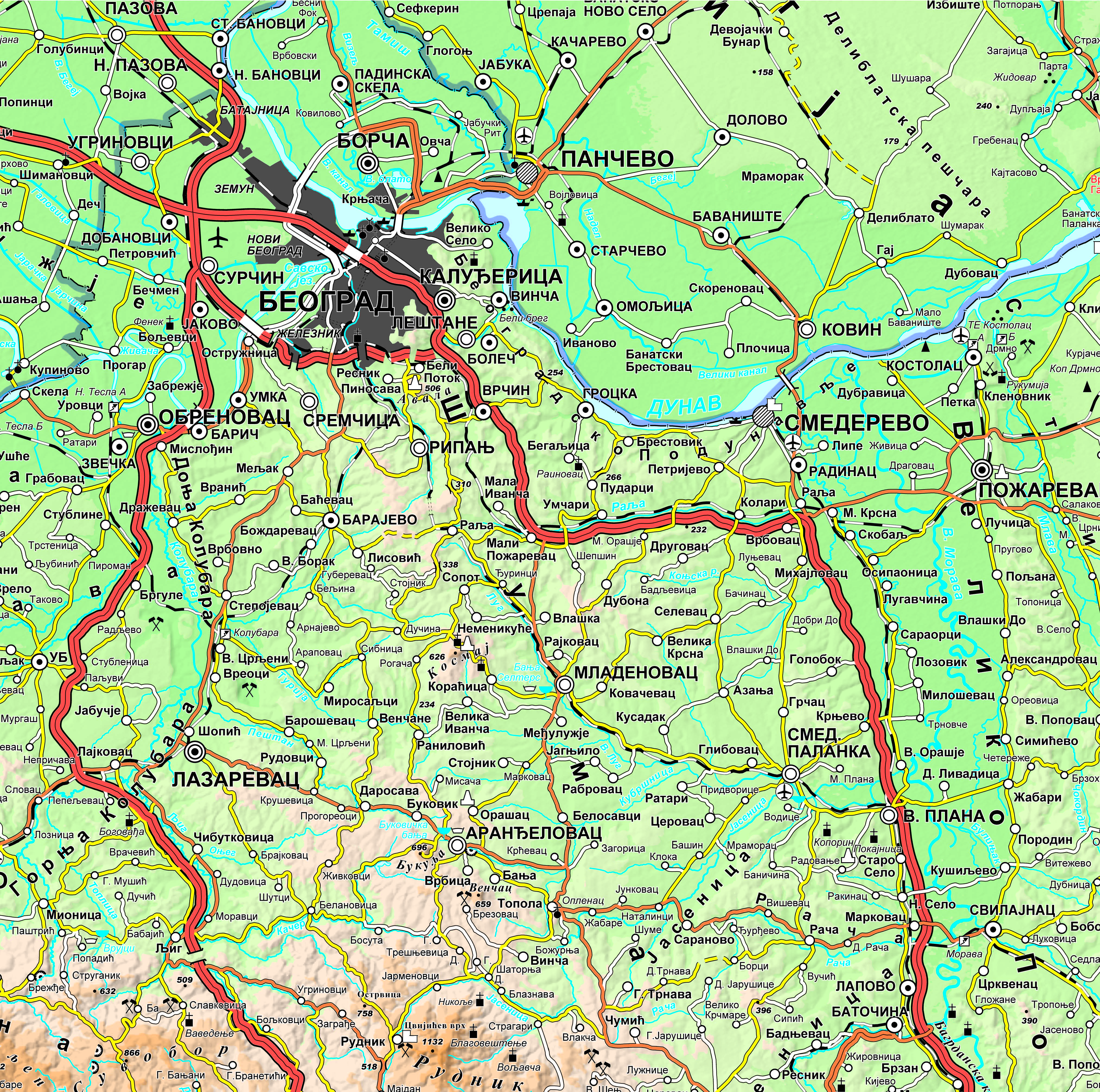
Graphic overview for Geographical-tourist map of Serbia at a scale of 1: 300 000
Geographical-tourist map of Serbia at a scale of 1: 300 000 Geographic and tourist map of Serbia at a scale of 1: 300 000 is a digital geographic map based on … Serbia Sept. 24, 2020 Republic Geodetic Authority otherRestrictions
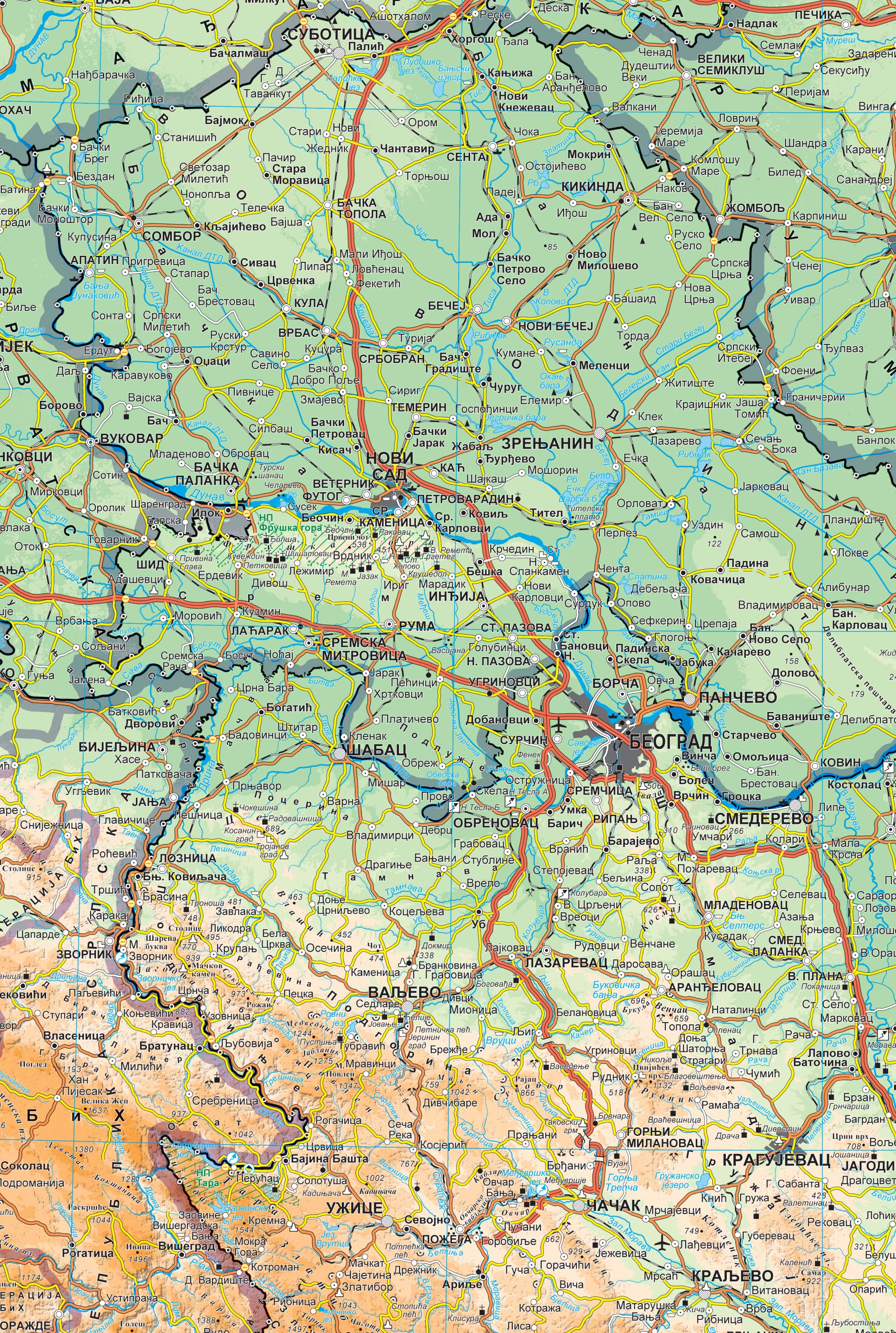
Graphic overview for Geographical map of Serbia at a scale of 1 : 1 000 000
Geographical map of Serbia at a scale of 1 : 1 000 000 Geographical map of Serbia at a scale of 1 : 1 000 000 is a digital geographic map based on … Serbia Sept. 24, 2020 Republic Geodetic Authority otherRestrictions
Graphic overview for Management plan of the "Ilijaš" recycling yard
Management plan of the "Ilijaš" recycling yard The recycling yard facilitates the disposal of waste types that do not fall into mixed household waste, such as recyclable … Bosnia and Herzegovina Dec. 1, 2023 KJKP "RAD" doo Sarajevo copyright
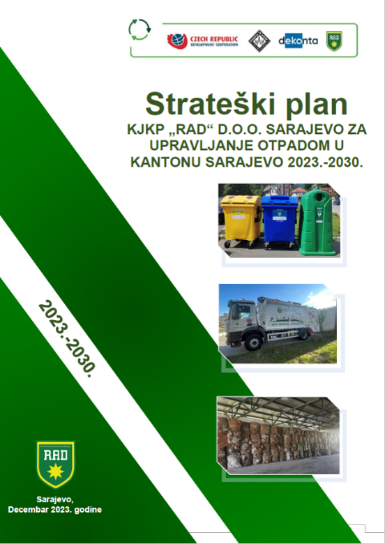
Graphic overview for Strategic plan of KJKP "RAD" doo Sarajevo for waste management in the Sarajevo Canton 2023-2030.
Strategic plan of KJKP "RAD" doo Sarajevo for waste management in the Sarajevo Canton 2023-2030. The Strategic Plan was prepared within the framework of the Project "Effective Waste Management in Sarajevo Canton", which was funded … Bosnia and Herzegovina Dec. 1, 2023 KJKP "RAD" doo Sarajevo other Restrictions
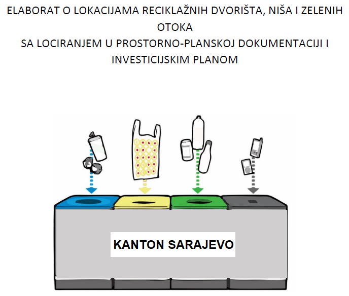
Graphic overview for Studies on recycling yards, niches and green islands of Sarajevo Canton
Studies on recycling yards, niches and green islands of Sarajevo Canton At its 32nd session held on 01.08.2019., the Government of the Sarajevo Canton adopted a Decision approving the Studies on … Bosnia and Herzegovina Jan. 8, 2019 Ministry of Physical Planning and Environmental Protection of Sarajevo Canton other Restrictions
Graphic overview for Study of optimal energy supply for the Sarajevo Canton
Study of optimal energy supply for the Sarajevo Canton The Study of Optimal Energy Supply of the Sarajevo Canton is a tool of the Sarajevo Canton Spatial Plan, and … Bosnia and Herzegovina Dec. 1, 2010 Ministry of Physical Planning and Environmental Protection of Sarajevo Canton other Restrictions
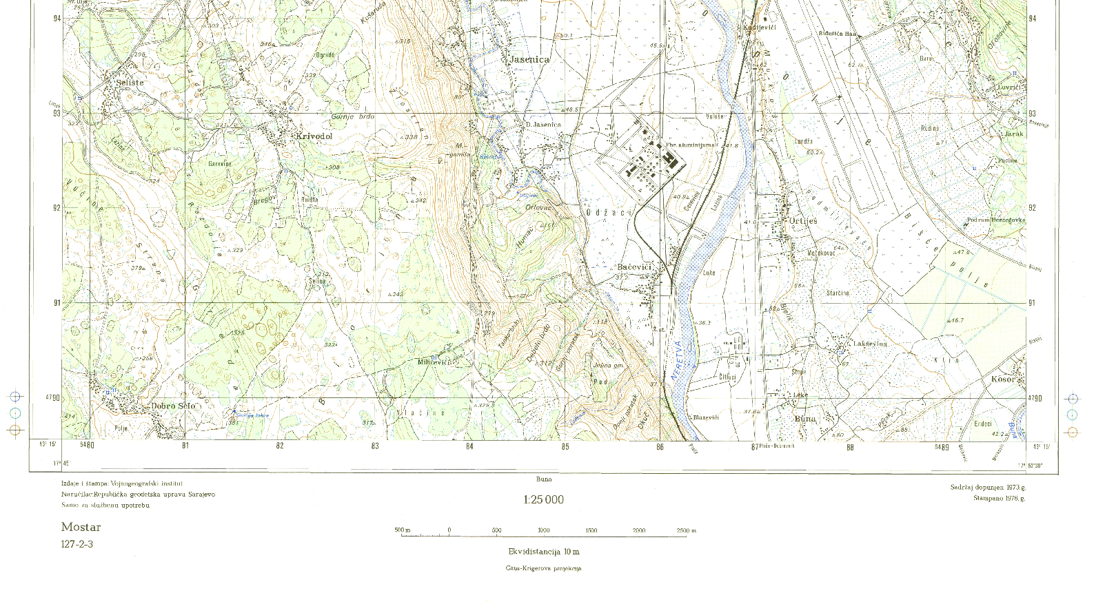
Graphic overview for Topographic map of Bosnia and Herzegovina R 1:25 000
Topographic map of Bosnia and Herzegovina R 1:25 000 Geodetic survey of the SR BiH from 1947 to 1980. The map was produced by the Military Geographical Institute Belgrade … Bosnia and Herzegovina Jan. 1, 1986 Federal Administration for Geodetic and Property Legal Affairs other Restrictions
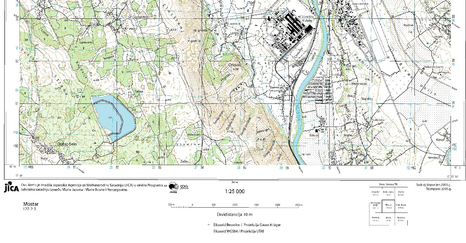
Graphic overview for Topographic map of Bosnia and Herzegovina R 1:25 000 JICA
Topographic map of Bosnia and Herzegovina R 1:25 000 JICA In Bosnia and Herzegovina in 2002, a project was launched - creation of a digital topographic map M=1:25000 (TK 25) … Bosnia and Herzegovina Jan. 1, 2005 Federal Administration for Geodetic and Property Legal Affairs other Restrictions
Graphic overview for Vulnerability study of the area of Sarajevo Canton
Vulnerability study of the area of Sarajevo Canton The Sarajevo Canton Vulnerability Study is a procedure for evaluating spatial characteristics in spatial development planning. Its purpose is to … Bosnia and Herzegovina Feb. 1, 2008 Ministry of Physical Planning and Environmental Protection of Sarajevo Canton other Restrictions
Showing 15 of 25 records (filtered)
« first previous Page 2 of 2.