Showing 10 of 104 records (filtered)
Applied filters: INSPIRE Theme: TN: Transport Networks × Clear all filters
« first previous Page 9 of 10. next last »
Preview
Title
Abstract
Country
INSPIRE Theme
Publication Date
Responsible Party
Topic Categories
Keywords
Access Constraints
Actions
Graphic overview for OpenStreetMap Water Bodies for Bosnia and Herzegovina
OpenStreetMap Water Bodies for Bosnia and Herzegovina Water bodies from OpenStreetMap for Bosnia and Herzegovina Bosnia and Herzegovina Oct. 19, 2024 OpenStreetMap Contributors Open Database License
Graphic overview for OpenStreetMap Waterways for Bosnia and Herzegovina
OpenStreetMap Waterways for Bosnia and Herzegovina Waterways from OpenStreetMap for Bosnia and Herzegovina Bosnia and Herzegovina Oct. 19, 2024 OpenStreetMap Contributors Open Database License
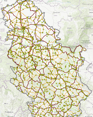
Graphic overview for PE Roads of Serbia - reference system of the state road network
PE Roads of Serbia - reference system of the state road network Spatial and descriptive data on the current reference system of state roads (RSDP) contain 3 classes of data: 1. Primary … Serbia Oct. 8, 2022 PE Roads of Serbia copyright
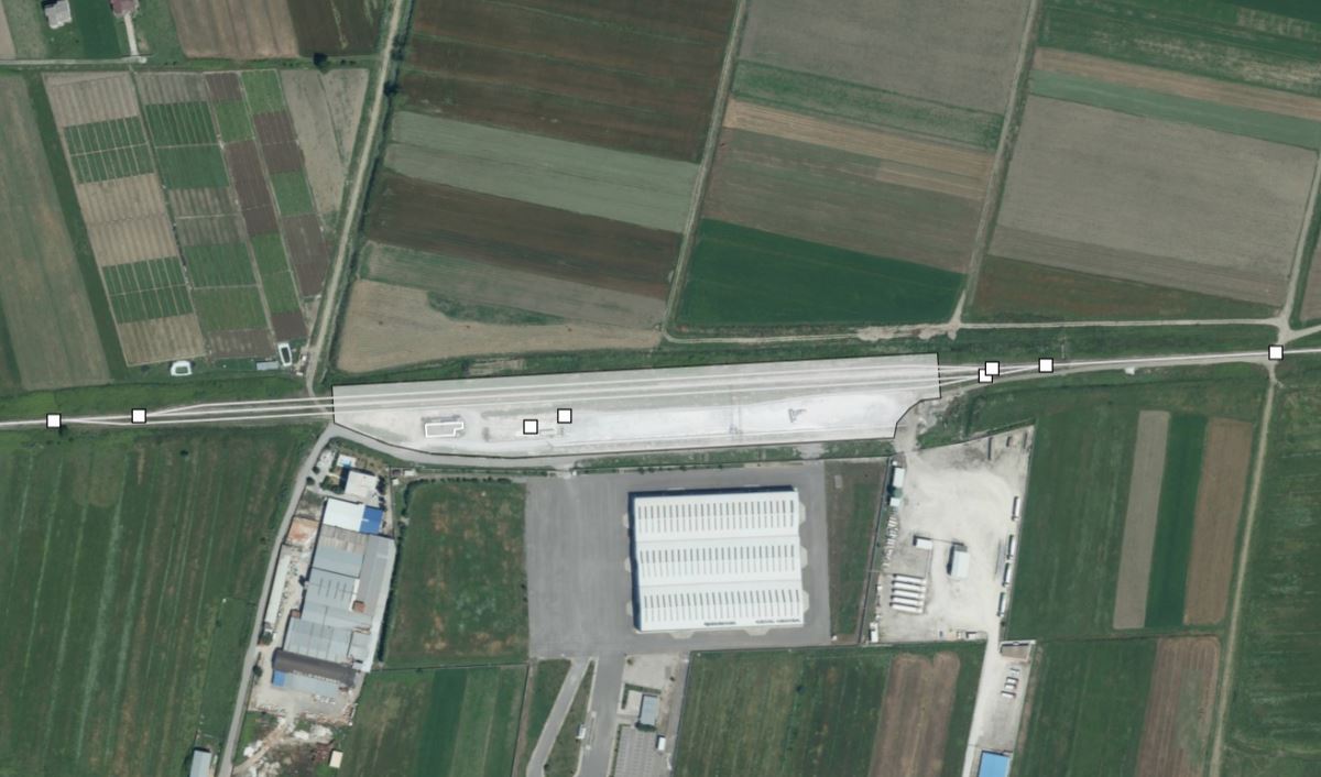
Graphic overview for Railway Transport Network
Railway Transport Network This dataset contains geospatial data for the railway transport network in the Republic of Albania. The data has been built … Albania June 18, 2025 State Authority for Geospatial Information copyright
🖼️
Railway Transport Network - INSPIRE WMS service Service provides INSPIRE compliant viewable railway transport network data from the Topographic map at a scale of 1 : 250 … Serbia Nov. 1, 2020 Republic Geodetic Authority otherRestrictions
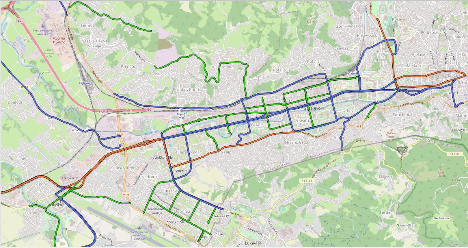
Graphic overview for Regional road network in Sarajevo Canton
Regional road network in Sarajevo Canton The regional road network of the Sarajevo Canton includes all roads that are under the responsibility of the Road Directorate … Bosnia and Herzegovina Jan. 1, 2020 Sarajevo Canton Road Directorate other Restrictions
🖼️
Road Transport Network - INSPIRE WFS service Service provides INSPIRE compliant downloadable road transport network data from the Topographic map at a scale of 1 : 250 … Serbia Nov. 1, 2020 Republic Geodetic Authority otherRestrictions
🖼️
Road Transport Network - INSPIRE WMS service Service provides INSPIRE compliant viewable road transport network data from the Topographic map at a scale of 1 : 250 … Serbia Nov. 1, 2020 Republic Geodetic Authority otherRestrictions
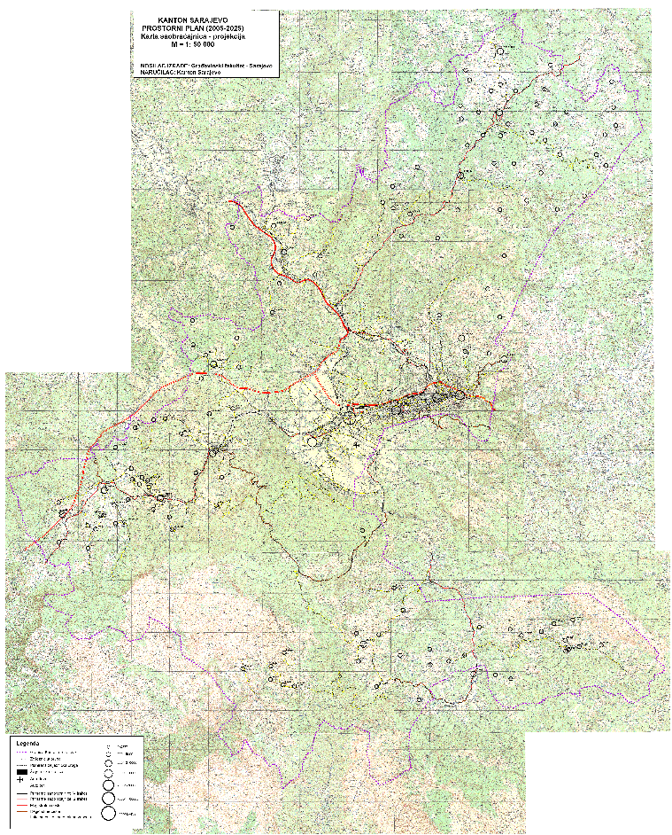
Graphic overview for Sarajevo Canton Traffic Study
Sarajevo Canton Traffic Study The approach to the preparation of the separate study is based on the real need to direct the process of … Bosnia and Herzegovina Jan. 4, 2005 Ministry of Transport of Sarajevo Canton other Restrictions
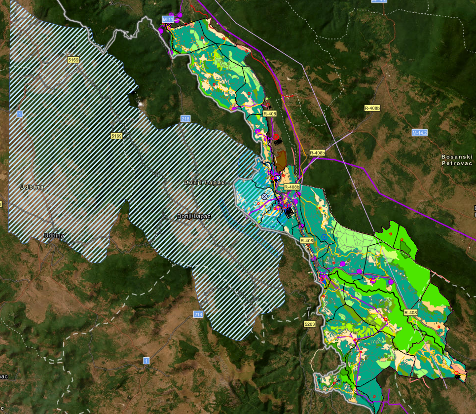
Graphic overview for Spatial plan "Una River Basin"
Spatial plan "Una River Basin" The Spatial Plan of the Area of Special Characteristics of Importance for the Federation of BiH "Una River Basin" for … Bosnia and Herzegovina None Federal Ministry of Physical Planning other Restrictions
Showing 10 of 104 records (filtered)
« first previous Page 9 of 10. next last »