Showing 4 of 4 records (filtered)
Applied filters: Keywords: 1:500 × Clear all filters
Preview
Title
Abstract
Country
INSPIRE Theme
Publication Date
Responsible Party
Topic Categories
Keywords
Access Constraints
Actions
Graphic overview for Nomenclature of cadastral plan sheets, metadata for dataset
Nomenclature of cadastral plan sheets, metadata for dataset Nomenclature of sheets of cadastral plans for scales 1:500, 1:1000, 1:2500, 1:5000, 1:10000. Nomenclature of sheets of cadastral plans is … North Macedonia Dec. 22, 2018 Agency for Real Estate Cadastre otherRestrictions
Graphic overview for Topographic map of the Republic of North Macedonia at a scale of 1:50000 (TK 50 - 2004) - raster, metadata for the dataset
Topographic map of the Republic of North Macedonia at a scale of 1:50000 (TK 50 - 2004) - raster, metadata for the dataset The topographic maps at a scale of 1:50,000 were produced in the period 2012 - 2015 and are in raster … North Macedonia Not specified Jan. 1, 2015 Agency for Real Estate Cadastre otherRestrictions
Graphic overview for Topographic map of the Republic of North Macedonia at a scale of 1:50000 (TK 50 - 2017) - raster, metadata for the dataset
Topographic map of the Republic of North Macedonia at a scale of 1:50000 (TK 50 - 2017) - raster, metadata for the dataset The contents of the "Topographic Map of the Republic of North Macedonia" at a scale of 1: 50000 (TK 50 … North Macedonia Not specified Aug. 1, 2024 Agency for Real Estate Cadastre otherRestrictions
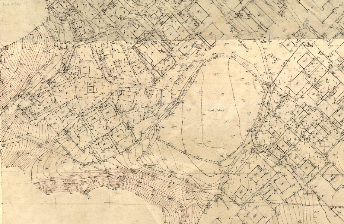
Graphic overview for Base Map Image, Cities (AQTN)
Base Map Image, Cities (AQTN) The 1:500 scale plates were created using the tachymetric method by the former Geology-Geodesy enterprise. The main task of this … Albania Jan. 1, 2018 Central Technical Archive of Construction copyright
Showing 4 of 4 records (filtered)