Showing 10 of 17 records (filtered)
Applied filters: Keywords: Administrative unit × Clear all filters
Page 1 of 2. next last »
Preview
Title
Abstract
Country
INSPIRE Theme
Publication Date
Responsible Party
Topic Categories
Keywords
Access Constraints
Actions
🖼️
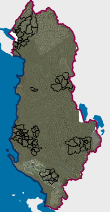
Administrative Unit Boundaries Administrative Unit Boundaries of the Republic of Albania. The data are in accordance with the standard approved by the Council … Albania Not specified June 7, 2019 Local Self-Government Support Agency (LSGSA) Not specified copyright
Graphic overview for Departments for administrative affairs in the Republic of North Macedonia, metadata for the dataset
Departments for administrative affairs in the Republic of North Macedonia, metadata for the dataset All administrative departments on the territory of the country are shown. North Macedonia Feb. 1, 2012 Ministry of Interior otherRestrictions
Graphic overview for General geographic map from the Military Geographical Institute Belgrade (VGI) at a scale of 1:1000000- Skopje K34, metadata for the dataset
General geographic map from the Military Geographical Institute Belgrade (VGI) at a scale of 1:1000000- Skopje K34, metadata for the dataset The general geographic map at a scale of 1:1000000 was produced by the VGI Belgrade and supplemented in 1972. The … North Macedonia Not specified None Agency for Real Estate Cadastre otherRestrictions
Graphic overview for Order 4 (Administrative unit boundary)
Order 4 (Administrative unit boundary) The updated borders of the administrative units of the municipality of Shkodër, Dimal, Kamëz, Malësi e Madhe, Patos, are approved … Albania April 24, 2026 State Authority for Geospatial Information (ASIG) otherRestrictions
Graphic overview for Overview topographic map from the Military Geographical Institute Belgrade (VGI) at a scale of 1:500000 (PTK 500) - Skopje 56, metadata for the dataset
Overview topographic map from the Military Geographical Institute Belgrade (VGI) at a scale of 1:500000 (PTK 500) - Skopje 56, metadata for the dataset The overview topographic map at a scale of 1:500,000 was produced by the VGI Belgrade in 1982. The map is … North Macedonia Not specified Jan. 1, 1982 Agency for Real Estate Cadastre otherRestrictions
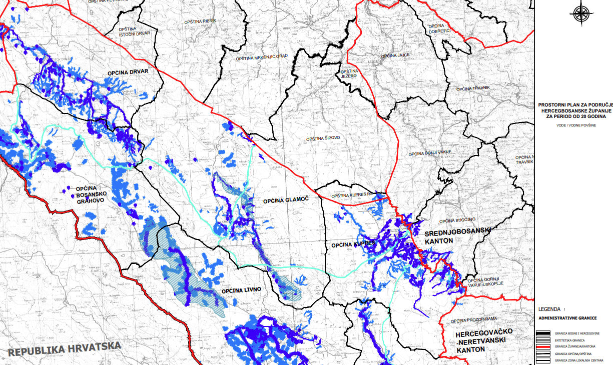
Graphic overview for Spatial plan of Herceg-Bosnia County for a period of 20 years
Spatial plan of Herceg-Bosnia County for a period of 20 years The Spatial Plan of the Herzeg-Bosnia County is a mandatory planning document for the territory of the County, which regulates … Bosnia and Herzegovina Jan. 1, 2023 Ministry of Construction, Reconstruction, Spatial Planning and Environmental Protection of Herceg-Bosnia County otherRestrictions
Graphic overview for State border of the Republic of Macedonia, dataset metadata
State border of the Republic of Macedonia, dataset metadata Data on the state border of the Republic of Macedonia produced by digitizing cadastral plans at a scale of 2500 … North Macedonia June 10, 2015 Agency for Real Estate Cadastre otherRestrictions
Graphic overview for Topographic map from the Military Geographical Institute Belgrade (VGI) at a scale of 1:100000 (TK100), metadata for the dataset
Topographic map from the Military Geographical Institute Belgrade (VGI) at a scale of 1:100000 (TK100), metadata for the dataset The topographic map at a scale of 1:100,000 was produced by the VGI Belgrade in the period 1970-1987. The territory … North Macedonia Not specified Jan. 1, 1970 Agency for Real Estate Cadastre otherRestrictions
Graphic overview for Topographic map from the Military Geographical Institute Belgrade (VGI) at a scale of 1:200000 (TK200), metadata for the dataset
Topographic map from the Military Geographical Institute Belgrade (VGI) at a scale of 1:200000 (TK200), metadata for the dataset The topographic map at a scale of 1:200,000 was produced by the VGI Belgrade in 1973. The territory of the … North Macedonia Not specified Jan. 1, 1973 Agency for Real Estate Cadastre otherRestrictions
Graphic overview for Topographic map from the Military Geographical Institute Belgrade (VGI) at a scale of 1:50000 (TK50), metadata for the dataset
Topographic map from the Military Geographical Institute Belgrade (VGI) at a scale of 1:50000 (TK50), metadata for the dataset The topographic map at a scale of 1:50000 was produced by the VGI Belgrade in 1966. The territory of the … North Macedonia Not specified Jan. 1, 1966 Agency for Real Estate Cadastre otherRestrictions
Showing 10 of 17 records (filtered)
Page 1 of 2. next last »