Showing 8 of 8 records (filtered)
Applied filters: Keywords: Agricultural land × Clear all filters
Preview
Title
Abstract
Country
INSPIRE Theme
Publication Date
Responsible Party
Topic Categories
Keywords
Access Constraints
Actions
Graphic overview for Land cover according to the criteria of the 2009 LDS
Land cover according to the criteria of the 2009 LDS The land use data is based on orthophoto maps from 2009. The land use data is created exclusively for agricultural … North Macedonia Jan. 1, 2009 Ministry of Agriculture, Forestry and Water Management otherRestrictions
Graphic overview for Land use in accordance with the criteria for the 2017 LLP
Land use in accordance with the criteria for the 2017 LLP The land use data is based on orthophoto maps from 2017. The land use data is created exclusively for agricultural … North Macedonia Aug. 15, 2017 Ministry of Agriculture, Forestry and Water Management otherRestrictions
Graphic overview for Records on agricultural land that has changed its use
Records on agricultural land that has changed its use The change of use of agricultural land for non-agricultural purposes is carried out in accordance with spatial planning plans and … Bosnia and Herzegovina None Ministry of Agriculture, Forestry and Water Management of Zenica-Doboj Canton otherRestrictions
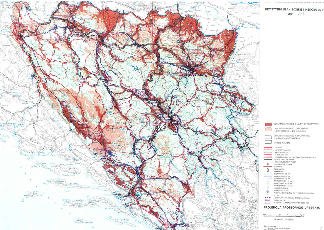
Graphic overview for Spatial plan of Bosnia and Herzegovina for the period from 1981 to 2000
Spatial plan of Bosnia and Herzegovina for the period from 1981 to 2000 The Spatial Plan of Bosnia and Herzegovina for the period from 1981 to 2000 was adopted by the Assembly of … Bosnia and Herzegovina Jan. 1, 1982 Federal Ministry of Physical Planning otherRestrictions
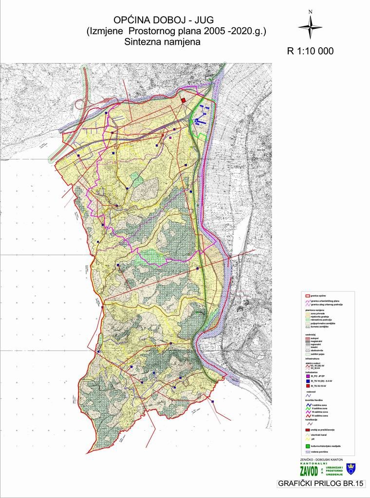
Graphic overview for Spatial Plan of the Municipality of Doboj Jug 2005-2020 (2025)
Spatial Plan of the Municipality of Doboj Jug 2005-2020 (2025) The basis for establishing the long-term concept of the spatial organization of the Doboj Jug municipality is based on construction, … Bosnia and Herzegovina Dec. 3, 2007 Institute for Urban Planning and Spatial Development of Zenica-Doboj Canton otherRestrictions
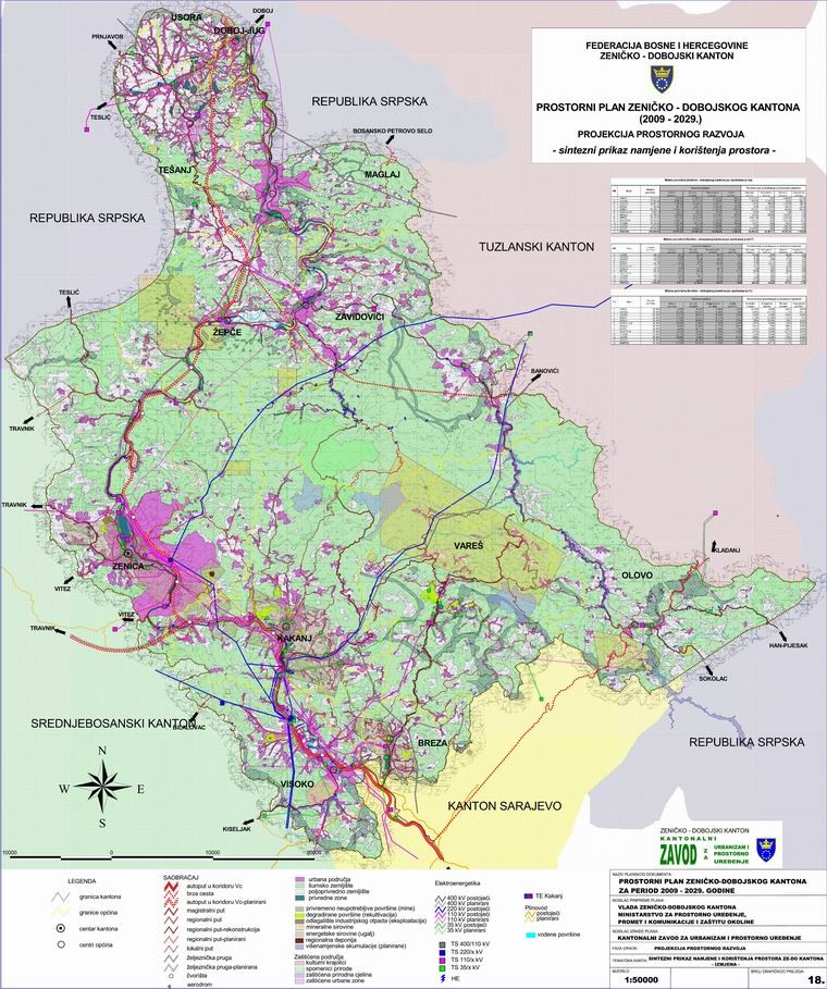
Graphic overview for Spatial Plan of Zenica-Doboj Canton 2009-2029.
Spatial Plan of Zenica-Doboj Canton 2009-2029. The Spatial Plan of the Zenica-Doboj Canton is the first mandatory planning document for the territory of the Canton, which … Bosnia and Herzegovina Feb. 20, 2009 Institute for Urban Planning and Spatial Development of Zenica-Doboj Canton otherRestrictions
Graphic overview for Urban plan of the city of Sarajevo for the urban area of Hadžići 1986 - 2015.
Urban plan of the city of Sarajevo for the urban area of Hadžići 1986 - 2015. Urban plans are prepared for urban areas, and their boundaries are defined by the Spatial Plan of the Sarajevo Canton. … Bosnia and Herzegovina Not specified None Sarajevo Canton Development Planning Institute Not specified otherRestrictions
Graphic overview for Urban plan of the Ilijaš urban area 1986 - 2015.
Urban plan of the Ilijaš urban area 1986 - 2015. Urban plans are adopted for urban areas, and the boundaries of the areas for which they are prepared are defined … Bosnia and Herzegovina Not specified None Sarajevo Canton Development Planning Institute Not specified otherRestrictions
Showing 8 of 8 records (filtered)