Showing 10 of 388 records (filtered)
Applied filters: Keywords: CO × Clear all filters

« first previous Page 2 of 39. next last »
Preview
Title
Abstract
Country
INSPIRE Theme
Publication Date
Responsible Party
Topic Categories
Keywords
Access Constraints
Actions
🖼️
Base Maps, Topographic Maps Topographic Maps are in Image (raster) format created by the Geographical and Military Infrastructure Institute (formerly ITU) and AQTN. The … Albania Not specified None Institute of Geography and Military Infrastructure (formerly ITU) Not specified copyright
Graphic overview for Base of measuring and regulating devices
Base of measuring and regulating devices This data set contains a register of metering and regulation devices intended for measuring gas consumption of all consumers in … Bosnia and Herzegovina None KJKP Sarajevogas otherRestrictions
Graphic overview for Basic geological map of the Republic of North Macedonia at a scale of 1:500,000
Basic geological map of the Republic of North Macedonia at a scale of 1:500,000 Basic geological map of the Republic of North Macedonia at a scale of 1:500,000 North Macedonia Not specified Jan. 1, 1966 Geological Survey of the Republic of North Macedonia otherRestrictions
Graphic overview for Cadastral plans of the Republic of North Macedonia - vertical representation, dataset metadata
Cadastral plans of the Republic of North Macedonia - vertical representation, dataset metadata The restitution of the vertical representation of the terrain was carried out immediately after the absolute orientation of the stereo … North Macedonia Not specified Jan. 1, 2020 Agency for Real Estate Cadastre otherRestrictions
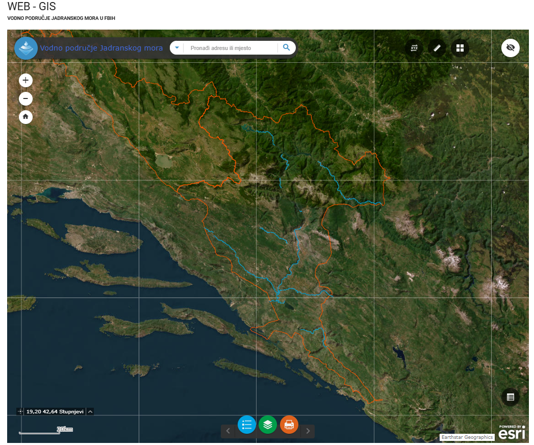
Graphic overview for Category I watercourses in the Adriatic Sea water area
Category I watercourses in the Adriatic Sea water area Category I watercourses in the Adriatic Sea watershed that are under the jurisdiction of the Adriatic Sea Watershed Agency under … Bosnia and Herzegovina None Agency for the Adriatic Sea Water Area otherRestrictions
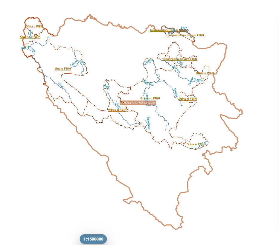
Graphic overview for Category I watercourses in the Sava River basin
Category I watercourses in the Sava River basin Category I watercourses in the Sava River Basin District that are under the jurisdiction of the Sava River Basin Agency … Bosnia and Herzegovina None Sava River Basin Agency otherRestrictions
🖼️
Coastal monitoring (UAV) Photography of the coastline of the Republic of Albania with "UAV" technology. This data set will be used by ASIG … Albania Not specified July 22, 2022 State Authority for Geospatial Information (ASIG) Not specified copyright
Graphic overview for Color orthophoto 2009 (RGB), over the entire territory of RSM, metadata for the dataset
Color orthophoto 2009 (RGB), over the entire territory of RSM, metadata for the dataset Color orthophoto from 2009, for the entire territory of the country. RGB (Red, green, blue) with 0.5m pixel. Owned by … North Macedonia Not specified July 15, 2009 Ministry of Agriculture, Forestry and Water Management otherRestrictions
Graphic overview for Color orthophoto 2017 (RGB), across the entire territory of RSM, metadata on the download service, ATOM - INSPIRE
Color orthophoto 2017 (RGB), across the entire territory of RSM, metadata on the download service, ATOM - INSPIRE Predefined service for downloading color orthophotos 2017 (RGB), for the entire territory of the Republic of Macedonia. Created in accordance … North Macedonia Not specified Aug. 15, 2017 Agency for Real Estate Cadastre Not specified otherRestrictions
Graphic overview for Color orthophoto 2017 (RGB), over the entire territory of RSM, dataset metadata
Color orthophoto 2017 (RGB), over the entire territory of RSM, dataset metadata Color orthophoto from 2017, for the entire territory of the country. RGB (Red, green, blue). 0.3m pixel. Owned by the … North Macedonia Not specified Aug. 15, 2017 Ministry of Agriculture, Forestry and Water Management otherRestrictions
Showing 10 of 388 records (filtered)
« first previous Page 2 of 39. next last »