Showing 10 of 388 records (filtered)
Applied filters: Keywords: CO × Clear all filters
« first previous Page 4 of 39. next last »
Preview
Title
Abstract
Country
INSPIRE Theme
Publication Date
Responsible Party
Topic Categories
Keywords
Access Constraints
Actions
Graphic overview for Environmental Monitoring Infrastructure
Environmental Monitoring Infrastructure The data conform to the standard "State Standards for Technical Specifications of Geospatial Information in Albania - Topic: Infrastructure for … Albania Not specified None National Environmental Agency (NEA) Not specified copyright
Graphic overview for European Terrestrial Reference System ETRS 89
European Terrestrial Reference System ETRS 89 The adopted reference system for Europe is known as the European Terrestrial Reference System, 1989 (ETRS89). Coordinates in ETRS89 are … North Macedonia Not specified March 1, 2010 Agency for Real Estate Cadastre otherRestrictions
Graphic overview for Flood areas along category II watercourses in the Bosnian-Podrinje Canton of Goražde
Flood areas along category II watercourses in the Bosnian-Podrinje Canton of Goražde The Cantonal Operational Plan for Flood Protection determines the implementation of active flood protection measures during times of imminent danger … Bosnia and Herzegovina May 30, 2013 Ministry of Economy of the Bosnian-Podrinje Canton Goražde otherRestrictions
Graphic overview for FNE Concession Contract Register
FNE Concession Contract Register / Bosnia and Herzegovina None Ministry of Economy of Herzegovina-Neretva County otherRestrictions
Graphic overview for General geographic map from the Military Geographical Institute Belgrade (VGI) at a scale of 1:1000000- Skopje K34, metadata for the dataset
General geographic map from the Military Geographical Institute Belgrade (VGI) at a scale of 1:1000000- Skopje K34, metadata for the dataset The general geographic map at a scale of 1:1000000 was produced by the VGI Belgrade and supplemented in 1972. The … North Macedonia Not specified None Agency for Real Estate Cadastre otherRestrictions
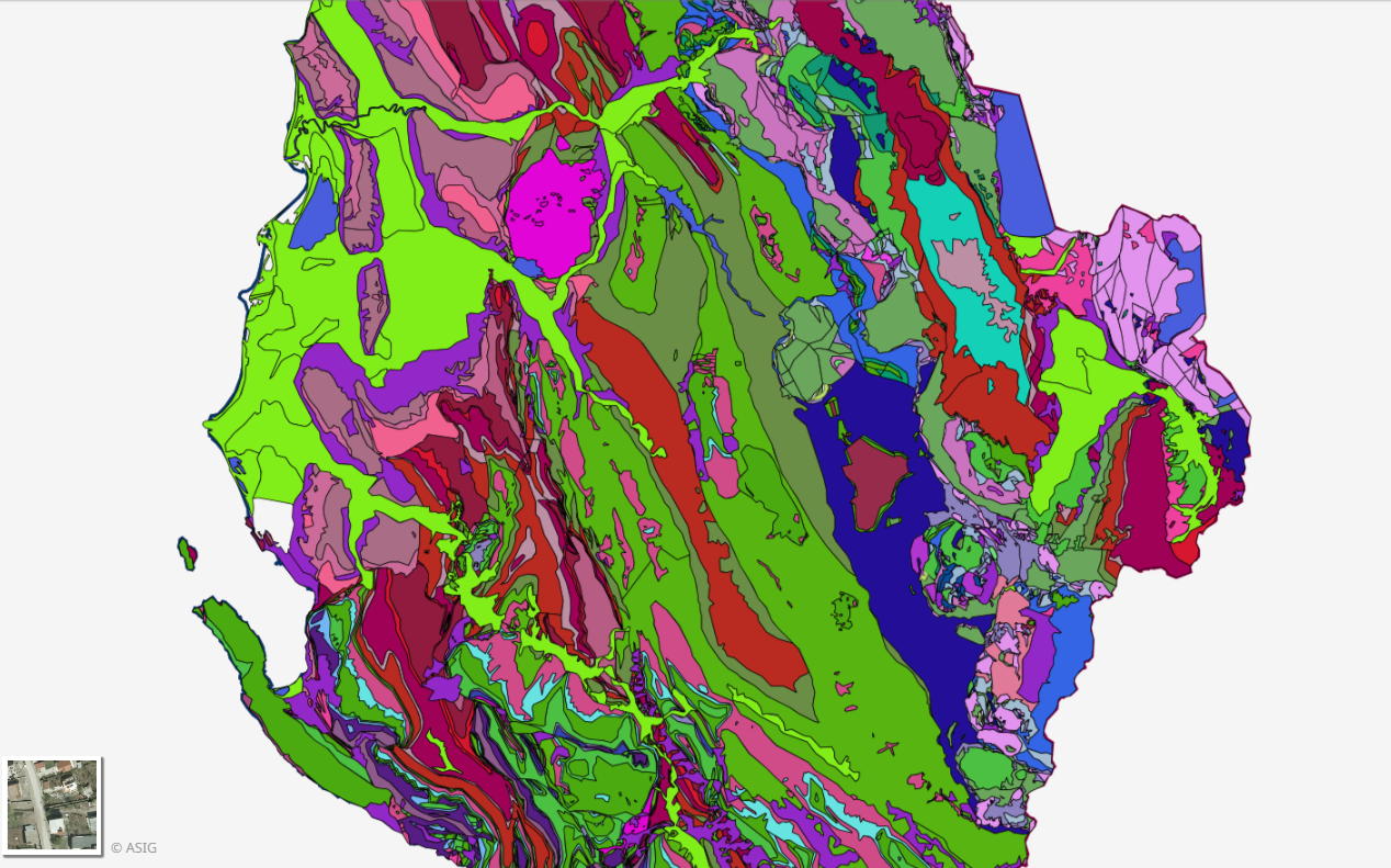
Graphic overview for Geological Map 1:200000
Geological Map 1:200000 Geological Map of the territory of the Republic of Albania Shk.1:200 000. The data were officially obtained from the Albanian … Albania Not specified Aug. 16, 2016 Albanian Geological Survey (AGS) Not specified copyright
🖼️
Geology, Geological maps Geological maps for the Republic of Albania. The data are officially obtained from the Albanian Geological Survey (SHGJSH). Albania Not specified None Albanian Geological Survey (AGS) Not specified copyright
Graphic overview for Global map of the Republic of Macedonia in scale 1:1000000 raster (Land cover), metadata of download service, WCS
Global map of the Republic of Macedonia in scale 1:1000000 raster (Land cover), metadata of download service, WCS Dataset discovery service - Global map of the Republic of Macedonia at a scale of 1:1000000 raster (Land cover). The … North Macedonia Not specified Jan. 1, 2015 Agency for Real Estate Cadastre Not specified otherRestrictions
Graphic overview for Graphical register of construction land of the Republic of North Macedonia, metadata of the dataset
Graphical register of construction land of the Republic of North Macedonia, metadata of the dataset The Graphical Register of Construction Land is a single register containing spatial and descriptive data on construction land in the … North Macedonia Not specified Dec. 29, 2015 Agency for Real Estate Cadastre otherRestrictions
Graphic overview for Gravimetric map of the Republic of North Macedonia (Bougeot anomalies) 1:500,000
Gravimetric map of the Republic of North Macedonia (Bougeot anomalies) 1:500,000 Gravimetric map of the Republic of North Macedonia (Bougeot anomalies) 1:500,000 North Macedonia Not specified Jan. 1, 1966 Geological Survey of the Republic of North Macedonia otherRestrictions
Showing 10 of 388 records (filtered)
« first previous Page 4 of 39. next last »