Showing 10 of 388 records (filtered)
Applied filters: Keywords: CO × Clear all filters
« first previous Page 7 of 39. next last »
Preview
Title
Abstract
Country
INSPIRE Theme
Publication Date
Responsible Party
Topic Categories
Keywords
Access Constraints
Actions
Graphic overview for LIDAR 3D laser scanning of the terrain (phase 1) - point cloud (x,y,z)
LIDAR 3D laser scanning of the terrain (phase 1) - point cloud (x,y,z) point cloud is a large collection of 3D points, which have defined x, y and z coordinates but can also … North Macedonia Not specified Dec. 1, 2020 Agency for Real Estate Cadastre otherRestrictions
Graphic overview for Local leveling networks in the Republic of North Macedonia, dataset metadata
Local leveling networks in the Republic of North Macedonia, dataset metadata Local leveling networks represent a set of leveling lines with permanently stabilized and easily accessible benchmarks, spatially organized in closed … North Macedonia Not specified Jan. 1, 1946 Agency for Real Estate Cadastre otherRestrictions
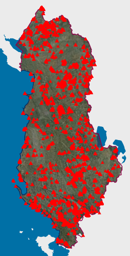
Graphic overview for Natural Monuments
Natural Monuments In accordance with LAW No. 81/2017 "On Protected Areas" The totality of environmental protected areas constitutes the national system of … Albania Not specified March 7, 2023 National Agency for Protected Areas (NAPA) Not specified copyright
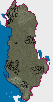
Graphic overview for Order 4 (Administrative unit boundary)
Order 4 (Administrative unit boundary) The updated borders of the administrative units of the municipality of Shkodër, Dimal, Kamëz, Malësi e Madhe, Patos, are approved … Albania April 24, 2026 State Authority for Geospatial Information (ASIG) otherRestrictions
🖼️
Orthoimagery Coverage (Year 1976-1986). Orthoimagery overlay for the Orthophoto layer of 1976-1986. The data are in accordance with the standard with the Council of … Albania Not specified Jan. 19, 2025 State Authority for Geospatial Information (ASIG) Not specified copyright
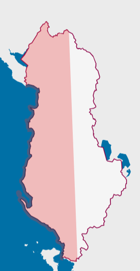
Graphic overview for Orthoimagery Coverage 2026
Orthoimagery Coverage 2026 Information on the coverage area and technical specifications of orthoimagery for the year 2026. The data are in accordance with … Albania July 28, 2026 State Authority for Geospatial Information (ASIG) copyright
🖼️
Orthoimaging The data of orthophotos 2019 (UAV), orthophoto 2018 (8 cm), orthophoto 2015 (8 cm), orthophoto CIR 2015 (8cm), orthophoto 2015 … Albania Not specified None State Authority for Geospatial Information (ASIG) Not specified copyright
Graphic overview for Overview topographic map from the Military Geographical Institute Belgrade (VGI) at a scale of 1:500000 (PTK 500) - Skopje 56, metadata for the dataset
Overview topographic map from the Military Geographical Institute Belgrade (VGI) at a scale of 1:500000 (PTK 500) - Skopje 56, metadata for the dataset The overview topographic map at a scale of 1:500,000 was produced by the VGI Belgrade in 1982. The map is … North Macedonia Not specified Jan. 1, 1982 Agency for Real Estate Cadastre otherRestrictions
Graphic overview for Passive GNSS network in the Republic of North Macedonia (MAKREF), dataset metadata
Passive GNSS network in the Republic of North Macedonia (MAKREF), dataset metadata The passive GNSS network in the Republic of Macedonia (MACREF) is divided into three tiers. The first-tier GNSS point network … North Macedonia Not specified Jan. 1, 2010 Agency for Real Estate Cadastre otherRestrictions
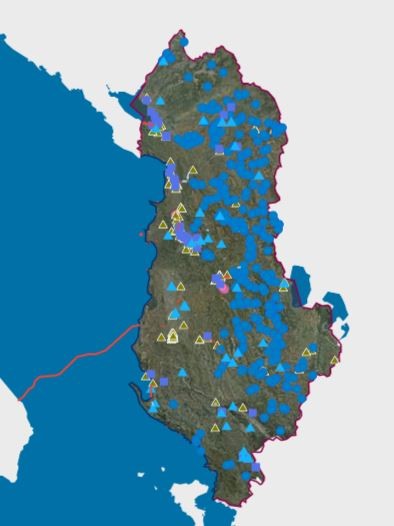
Graphic overview for Permits issued by KKTU and KBLs for the use of water resources.
Permits issued by KKTU and KBLs for the use of water resources. Permits for the use of water resources for Hydropower (HEC), bottled water, aquaculture, curative - thermal, industry - technology, irrigation … Albania Not specified Nov. 21, 2025 Water Resources Management Agency (WRMA) Not specified copyright
Showing 10 of 388 records (filtered)
« first previous Page 7 of 39. next last »