Showing 6 of 6 records (filtered)
Applied filters: Topic Category: geoscientificInformation × Keywords: CO × Clear all filters
Preview
Title
Abstract
Country
INSPIRE Theme
Publication Date
Responsible Party
Topic Categories
Keywords
Access Constraints
Actions
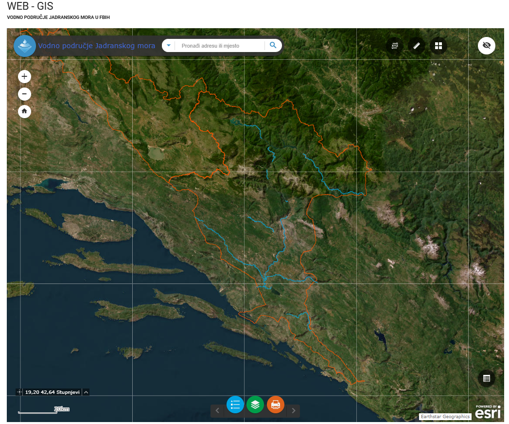
Graphic overview for Category I watercourses in the Adriatic Sea water area
Category I watercourses in the Adriatic Sea water area Category I watercourses in the Adriatic Sea watershed that are under the jurisdiction of the Adriatic Sea Watershed Agency under … Bosnia and Herzegovina None Agency for the Adriatic Sea Water Area otherRestrictions
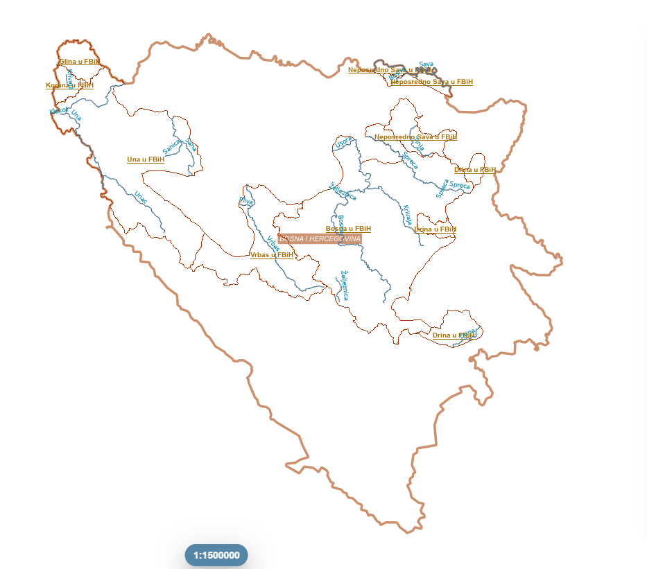
Graphic overview for Category I watercourses in the Sava River basin
Category I watercourses in the Sava River basin Category I watercourses in the Sava River Basin District that are under the jurisdiction of the Sava River Basin Agency … Bosnia and Herzegovina None Sava River Basin Agency otherRestrictions
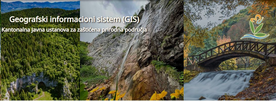
Graphic overview for Protected natural areas of Sarajevo Canton
Protected natural areas of Sarajevo Canton In the Cantonal Public Institution for Protected Natural Areas, the implementation of GIS software began in 2020 when the Gauss … Bosnia and Herzegovina Jan. 1, 2020 Cantonal Public Institution for Protected Natural Areas Sarajevo otherRestrictions
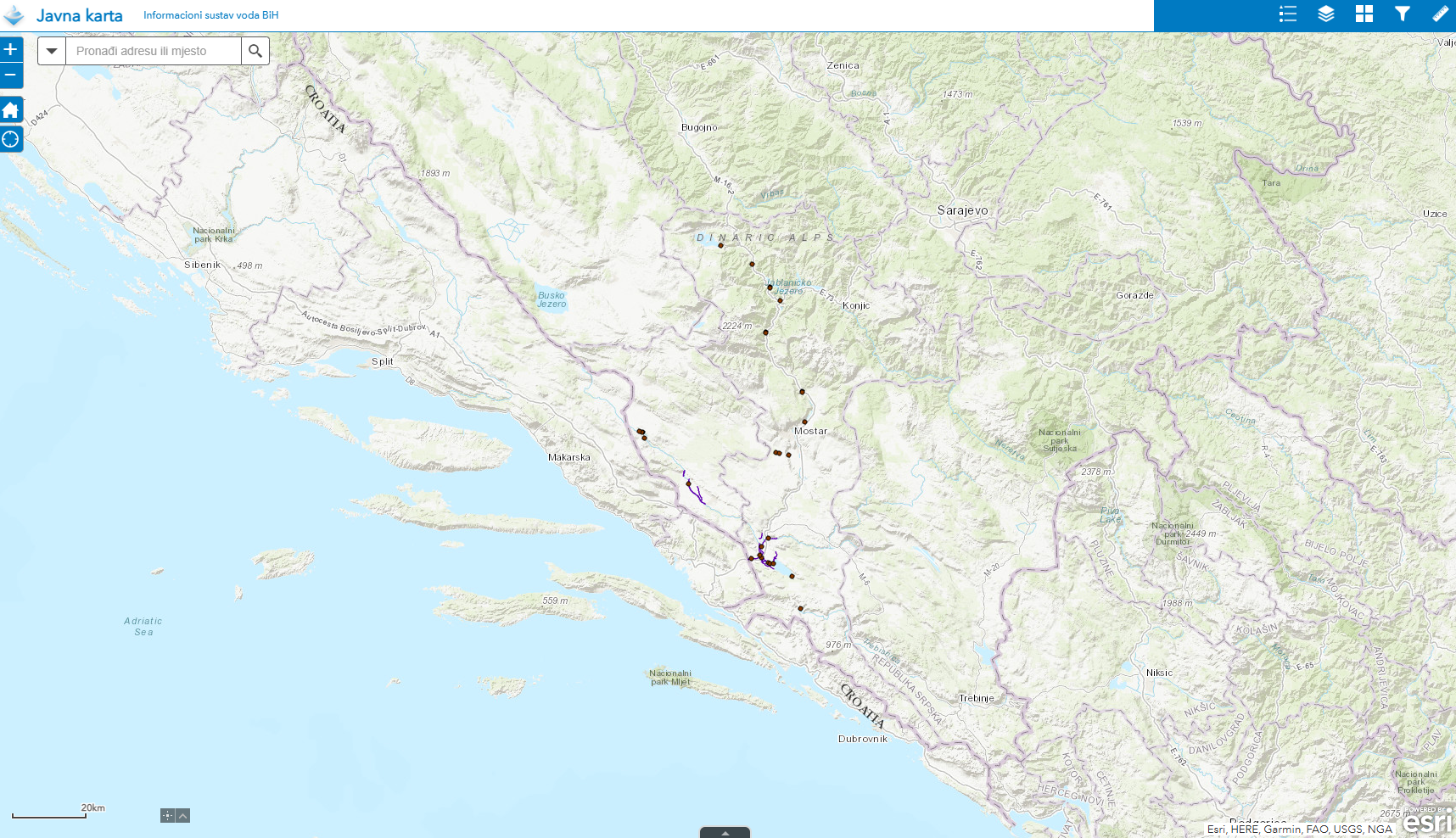
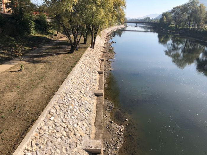
Graphic overview for Water structures AVP Adriatic Sea
Water structures AVP Adriatic Sea Water structures represent longitudinal water structures: embankments, and transverse water structures: dams, dams, pumping stations, flood defense centers in the … Bosnia and Herzegovina Jan. 1, 2008 Agency for the Adriatic Sea Water Area otherRestrictions
Graphic overview for Water structures of the Sava River
Water structures of the Sava River Water structures are longitudinal water structures: embankments, and transverse water structures: dams, weirs, pumping stations, flood protection centers in the … Bosnia and Herzegovina None Sava River Basin Agency otherRestrictions
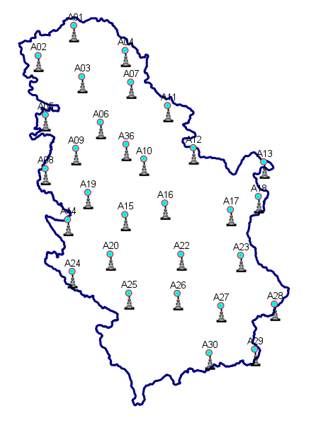
Graphic overview for Geodetic reference CORS network of Serbia - AGROS
Geodetic reference CORS network of Serbia - AGROS Geodetic reference CORS network of Serbia - AGROS, is a permanent service of precise GNSS positioning and navigation for the … Serbia June 1, 2008 Republic Geodetic Authority otherRestrictions
Showing 6 of 6 records (filtered)