Showing 15 of 15 records (filtered)
Applied filters: Keywords: Coast × Clear all filters
Preview
Title
Abstract
Country
INSPIRE Theme
Publication Date
Responsible Party
Topic Categories
Keywords
Access Constraints
Actions
🖼️
Coastal monitoring (UAV) Photography of the coastline of the Republic of Albania with "UAV" technology. This data set will be used by ASIG … Albania Not specified July 22, 2022 State Authority for Geospatial Information (ASIG) Not specified copyright
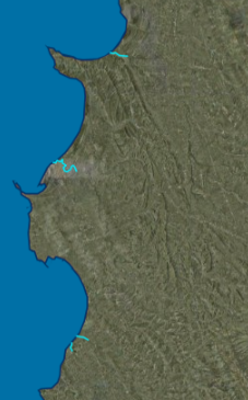
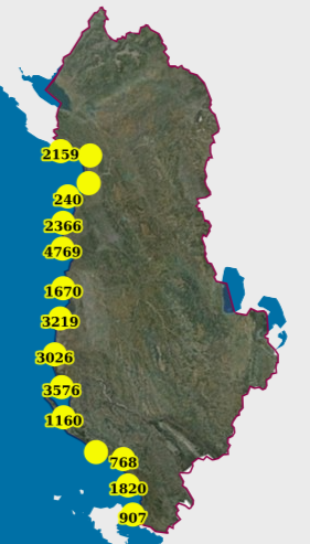
Graphic overview for Ecological status of surface water bodies, coastal waters (CWB)
Ecological status of surface water bodies, coastal waters (CWB) These data are generated from the Ishëm and Erzen River Basin Management Plans, approved respectively by VKM no. 624, dated … Albania March 25, 2026 Water Resources Management Agency (WRMA) copyright
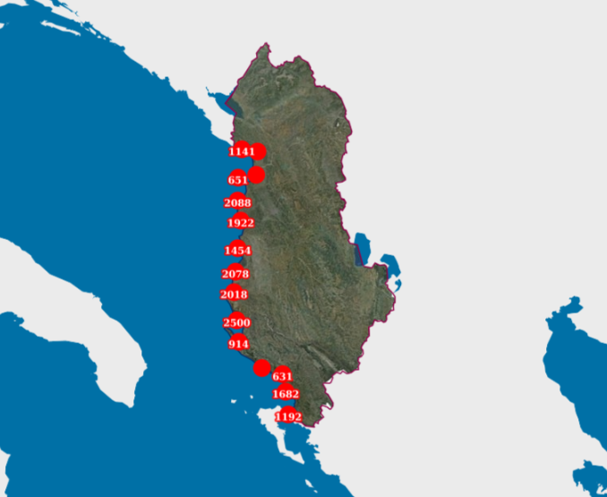
Graphic overview for Ecological status of surface water bodies, transitional waters (TWB)
Ecological status of surface water bodies, transitional waters (TWB) These data are generated from the Ishëm and Erzen River Basin Management Plans, approved respectively with VKM no. 624, date … Albania March 25, 2026 Water Resources Management Agency (WRMA) copyright
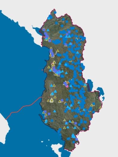
Graphic overview for Permits issued by KKTU and KBLs for the use of water resources.
Permits issued by KKTU and KBLs for the use of water resources. Permits for the use of water resources for Hydropower (HEC), bottled water, aquaculture, curative - thermal, industry - technology, irrigation … Albania Not specified Nov. 21, 2025 Water Resources Management Agency (WRMA) Not specified copyright
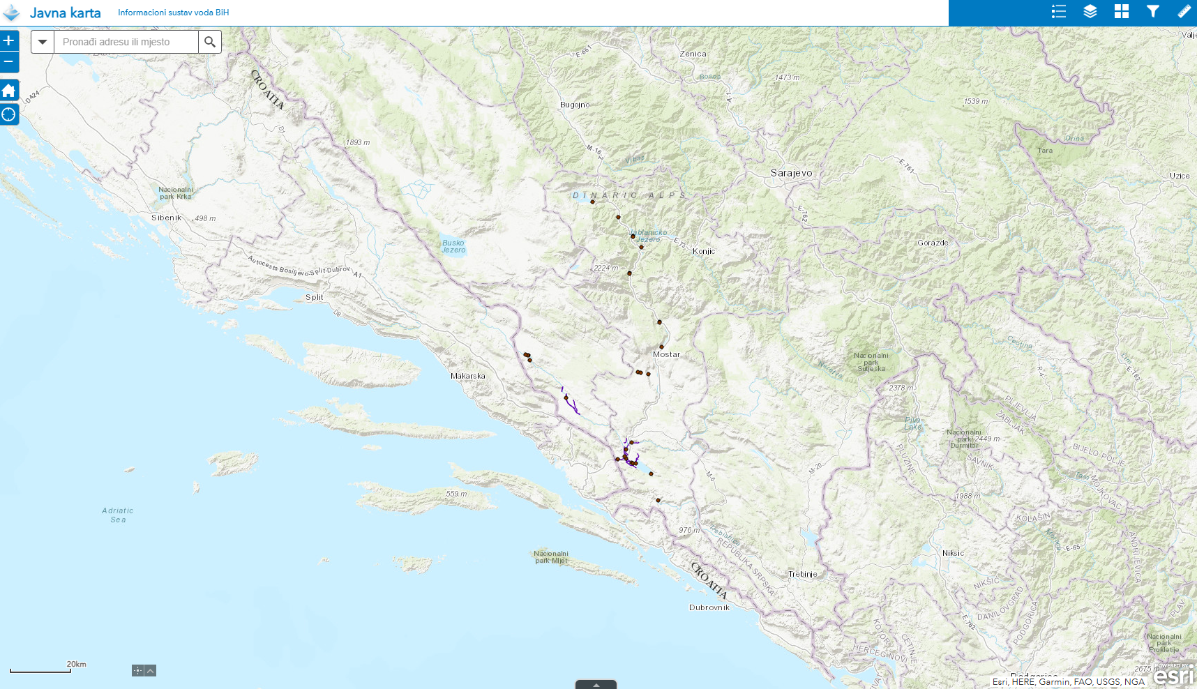
Graphic overview for Water structures AVP Adriatic Sea
Water structures AVP Adriatic Sea Water structures represent longitudinal water structures: embankments, and transverse water structures: dams, dams, pumping stations, flood defense centers in the … Bosnia and Herzegovina Jan. 1, 2008 Agency for the Adriatic Sea Water Area otherRestrictions
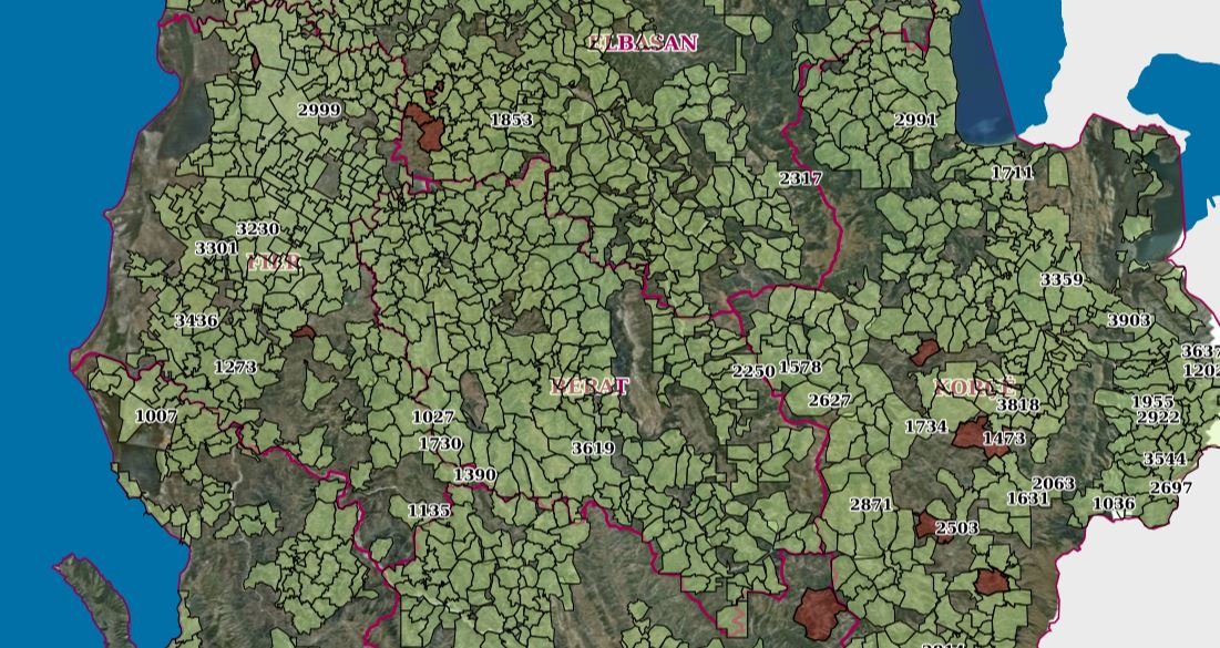
Graphic overview for Coastal Zone Management
Coastal Zone Management Cartographic information of the indicative maps of immovable properties (HTR), at the time of the initial registration._x000D_ The information was … Albania July 30, 2023 ASIG none
🖼️
Coastal Zone Montenegro Coastal areas and marine management zones Montenegro Sept. 2, 2025 Geoportal of Montenegro none
Graphic overview for Monitoring, Coastal (UAV) (2019)
Monitoring, Coastal (UAV) (2019) Photography of the coastline of the Republic of Albania with "UAV" technology for the year 2019. This dataset will be … Albania Feb. 13, 2024 State Authority for Geospatial Information copyright
Graphic overview for Monitoring, Coastal (UAV) (2022)
Monitoring, Coastal (UAV) (2022) Photography of the coastline of the Republic of Albania with "UAV" technology. This data set will be used by ASIG … Albania July 22, 2022 State Authority for Geospatial Information copyright
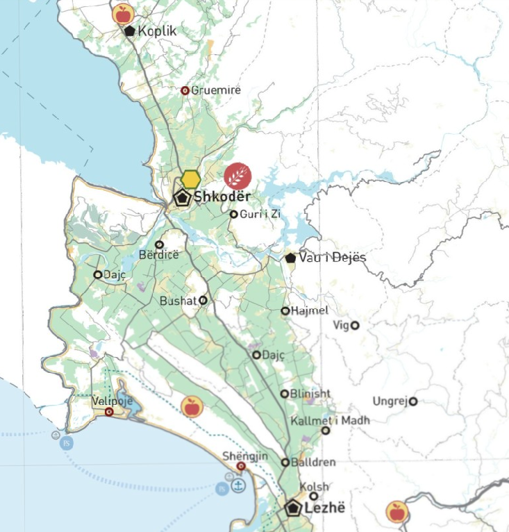
Graphic overview for PINS Coast, Agricultural System
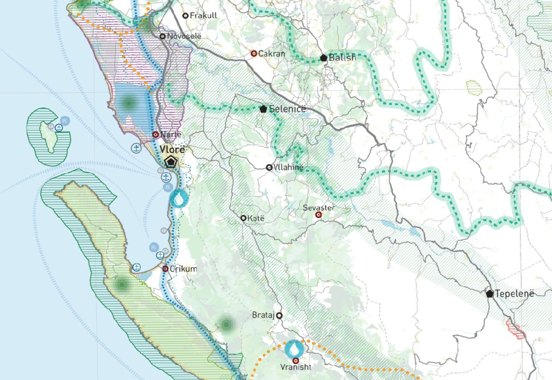
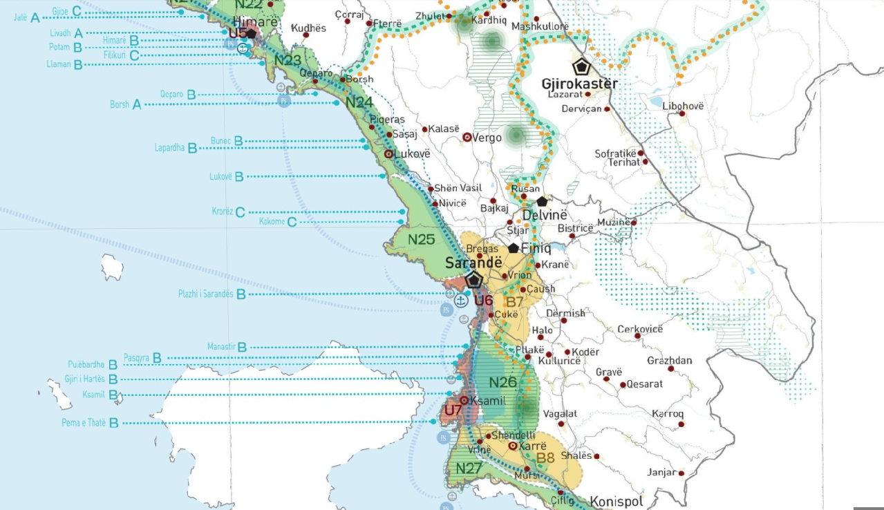
PINS Coast, Agricultural System The agricultural system consists of agricultural land, occupied by field crops, orchards, vineyards and olive groves, wherever it is located … Albania May 23, 2018 National Territorial Planning Agency copyright
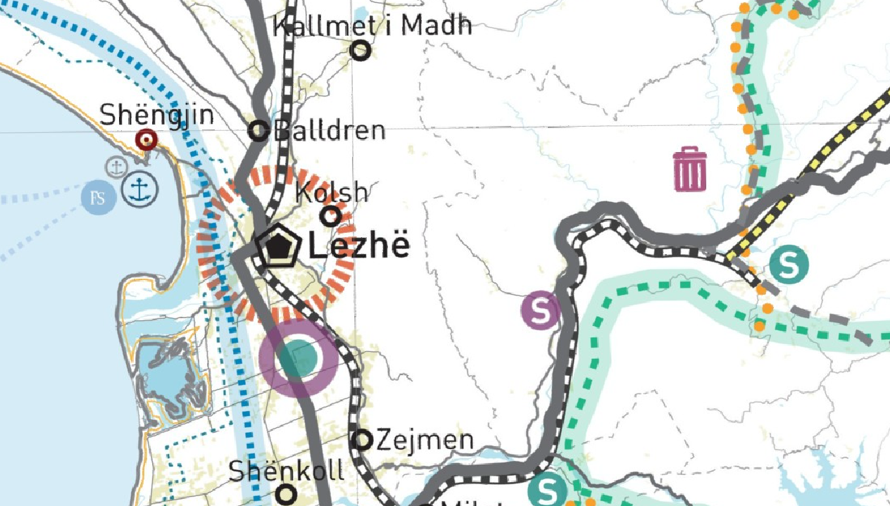
Graphic overview for PINS Coast, Infrastructure System
PINS Coast, Infrastructure System The infrastructure system contains the main infrastructure networks, at national, regional and local levels. The infrastructure system is formed by … Albania May 23, 2018 National Territorial Planning Agency copyright
Graphic overview for PINS Coast, Natural System
PINS Coast, Natural System The natural system consists of landscapes, untouched natural spaces, ecological corridors and spaces that have a basic use category of … Albania May 23, 2018 National Territorial Planning Agency copyright
Graphic overview for PINS Coast, Tourism
PINS Coast, Tourism This dataset illustrates the areas classified as Areas of National Importance for their value in planning and sustainable development of … Albania May 23, 2018 National Territorial Planning Agency copyright
Graphic overview for PINS Coast, Urban System
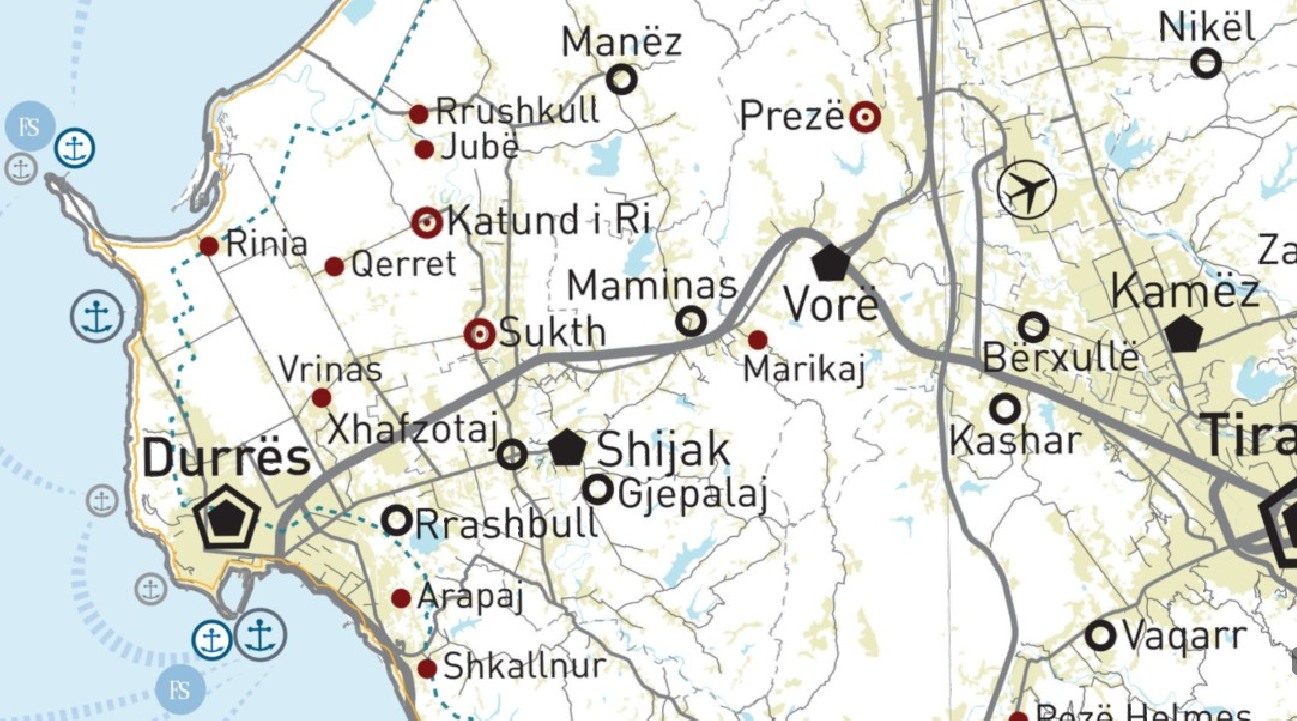
PINS Coast, Urban System The urban system (UB) is formed by the union of urban territories and is limited by the green line. The … Albania May 23, 2018 National Territorial Planning Agency copyright
Graphic overview for PINS Coast, Water System
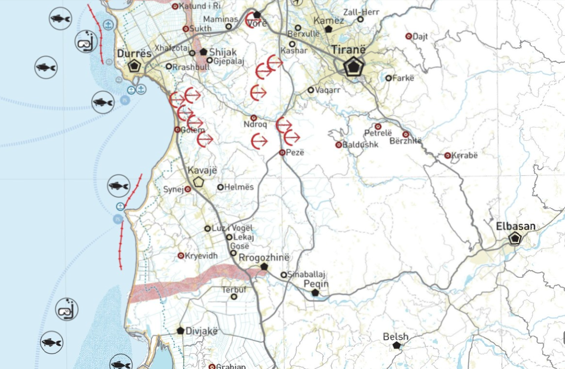
PINS Coast, Water System The water system is the totality of underground and surface water resources, which contains all water bodies, including the shores … Albania May 23, 2018 National Territorial Planning Agency copyright
Showing 15 of 15 records (filtered)