Showing 15 of 25 records (filtered)
Applied filters: Keywords: DEM × Clear all filters
« first previous Page 2 of 2.
Preview
Title
Abstract
Country
INSPIRE Theme
Publication Date
Responsible Party
Topic Categories
Keywords
Access Constraints
Actions
Graphic overview for Estimated population, by age group, gender, by municipality, dataset metadata
Estimated population, by age group, gender, by municipality, dataset metadata Population by five-year age groups and by gender, by municipalities. Data are from population estimates based on population movement. North Macedonia July 30, 2021 State Statistical Office otherRestrictions
Graphic overview for Population by five-year age groups, by statistical regions
Population by five-year age groups, by statistical regions Population estimate by five-year age groups by statistical regions according to the Nomenclature of Territorial Units for Statistics - NTES, … North Macedonia Sept. 15, 2009 State Statistical Office otherRestrictions
Graphic overview for Population by level of education, Census 2021, dataset metadata
Population by level of education, Census 2021, dataset metadata The data refers to the level of completed education at the municipal level, from the conducted Population, Households and Housing … North Macedonia March 31, 2022 State Statistical Office otherRestrictions
Graphic overview for Regional Departments of the Ministry of Defense, metadata for the dataset
Regional Departments of the Ministry of Defense, metadata for the dataset Regional departments of the Ministry of Defense in the cities: Berovo, Bitola, Valandovo, Veles, Vinica, Gevgelija, Gostivar, Debar, Delchevo, Demir … North Macedonia April 22, 2024 Ministry of Defense otherRestrictions
Graphic overview for Spatial plan of the Ohrid-Prespa region
Spatial plan of the Ohrid-Prespa region The Spatial Plan of the Ohrid-Prespa Region is an elaboration of the Spatial Plan of the Republic of Macedonia. The … North Macedonia Feb. 11, 2010 Spatial Planning Agency otherRestrictions
Graphic overview for Spatial plan of the region of the protected zones of the Rašče spring
Spatial plan of the region of the protected zones of the Rašče spring The Spatial Plan of the Region of the Protection Zones of the Rasce Spring is a development of the Spatial … North Macedonia Dec. 24, 2002 Spatial Planning Agency otherRestrictions
Graphic overview for Spatial plan of the Republic of Macedonia
Spatial plan of the Republic of Macedonia The Spatial Plan of the Republic of Macedonia is a planning document of the highest national importance. It is a … North Macedonia June 11, 2004 Spatial Planning Agency otherRestrictions
Graphic overview for Spatial plan of the Treska River Basin region, metadata for WMS view service
Spatial plan of the Treska River Basin region, metadata for WMS view service The spatial plan of the Treska River Basin Region is a management document, an integral development project in nature, with … North Macedonia Not specified Feb. 21, 2007 Spatial Planning Agency Not specified otherRestrictions
🖼️
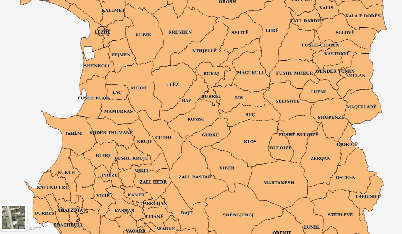
Statistical Units (INSTAT 2023) Statistical Units (INSTAT). The data are in accordance with the State Standard for Technical Specifications of Geospatial Information in Albania. … Albania Not specified May 14, 2026 Institute of Statistics (INSTAT) Not specified copyright
🖼️
Statistical Units (INSTAT) Statistical Units (INSTAT). The data does not conform to the State Standard for Technical Specifications of Geospatial Information in Albania. … Albania Not specified Jan. 1, 2014 Institute of Statistics (INSTAT) Not specified copyright
Graphic overview for Statistical Units, Local Government Units Census (INSTAT)
Statistical Units, Local Government Units Census (INSTAT) Census 2011 data at the level of local units, Communes and Municipalities. The data are not in accordance with the … Albania Oct. 27, 2014 Institute of Statistics (INSTAT) copyright
Graphic overview for The Spatial plan of the region of the Treska watershed
The Spatial plan of the region of the Treska watershed The Spatial plan of the region of the Treska watershed is a management document, an integral development project, which is … North Macedonia Feb. 21, 2007 Spatial Planning Agency otherRestrictions
Graphic overview for Topographic features (TK 200-2004), metadata for dataset
Topographic features (TK 200-2004), metadata for dataset The dataset of topographic features of the Republic of North Macedonia contains: isohips with equidistance of 500m, 100m, 50m and … North Macedonia July 1, 2018 Agency for Real Estate Cadastre otherRestrictions
Graphic overview for Topographical features of the Republic of North Macedonia TC 200-2017, metadata for the dataset
Topographical features of the Republic of North Macedonia TC 200-2017, metadata for the dataset The content of the dataset for "Topographic Features of the Republic of North Macedonia TC 200-2017" has been updated from … North Macedonia Dec. 31, 2024 Agency for Real Estate Cadastre otherRestrictions
Graphic overview for Statistical data on infectious diseases
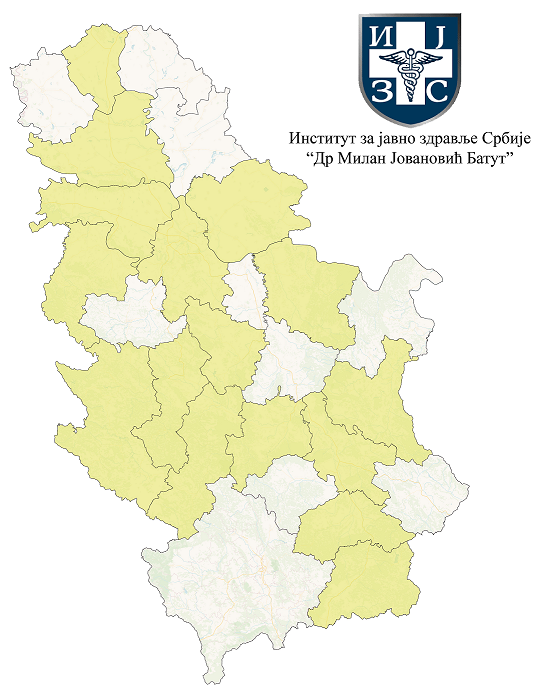
Statistical data on infectious diseases Data on annual and quarterly incidence rates of infectious diseases according to disease groups and districts. The source of the … Serbia None Institute of Public Health of Serbia "Dr. Milan Jovanovic Batut""" copyright
Showing 15 of 25 records (filtered)
« first previous Page 2 of 2.