Showing 8 of 8 records (filtered)
Applied filters: Topic Category: elevation × Keywords: DTM × Clear all filters
Preview
Title
Abstract
Country
INSPIRE Theme
Publication Date
Responsible Party
Topic Categories
Keywords
Access Constraints
Actions
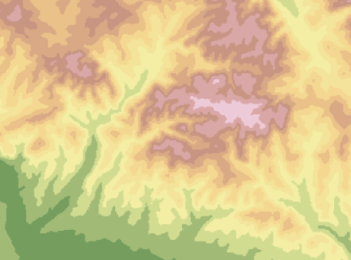
Graphic overview for Digital Elevation Model of the Republic of Macedonia - raster (DEM), dataset metadata
Digital Elevation Model of the Republic of Macedonia - raster (DEM), dataset metadata Digital Elevation Model (DEM) with a resolution of 20x20m for the entire territory of the Republic of Macedonia. North Macedonia Jan. 1, 2010 Agency for Real Estate Cadastre otherRestrictions
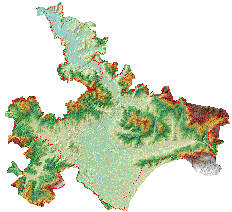
Graphic overview for Digital Elevation Model of the terrain 2009, 5m grid, entire territory of RSM, metadata for the dataset
Digital Elevation Model of the terrain 2009, 5m grid, entire territory of RSM, metadata for the dataset Digital terrain elevation model developed in 2009 for the entire territory of the Republic of Macedonia with a 5m grid North Macedonia Jan. 1, 2009 Ministry of Agriculture, Forestry and Water Management otherRestrictions
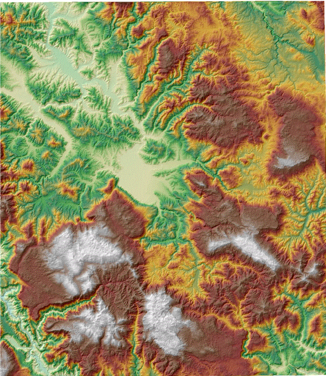
Graphic overview for Digital Elevation Model of the terrain of the Republic of Macedonia - isohypses, metadata of the dataset - INSPIRE
Digital Elevation Model of the terrain of the Republic of Macedonia - isohypses, metadata of the dataset - INSPIRE Elevation model of the terrain of the Republic of Macedonia represented through continuous lines with a main contour at 50m. North Macedonia None Agency for Real Estate Cadastre otherRestrictions
Graphic overview for Digital Elevation Model of the Terrain of the Republic of Macedonia - vector (DTM), dataset metadata
Digital Elevation Model of the Terrain of the Republic of Macedonia - vector (DTM), dataset metadata A regular arrangement of elevation points in vector form at a distance of 20m covering the entire territory of the … North Macedonia Jan. 1, 2010 Agency for Real Estate Cadastre otherRestrictions
Graphic overview for Digital Elevation Model of the Terrain of the Republic of North Macedonia TK25-2017 - isohypses, metadata for the dataset
Digital Elevation Model of the Terrain of the Republic of North Macedonia TK25-2017 - isohypses, metadata for the dataset The collection of digital elevation models of the terrain of the Republic of North Macedonia has been updated with some … North Macedonia Jan. 1, 2023 Agency for Real Estate Cadastre otherRestrictions
Graphic overview for Digital terrain model 25m
Digital terrain model 25m Digital terrain model of BiH area. The terrain model was mostly created by digitizing existing topographic maps 1:25000, as well … Bosnia and Herzegovina Jan. 1, 2003 Federal Administration for Geodetic and Property Legal Affairs other Restrictions
Graphic overview for Digital terrain model of Sarajevo Canton
Digital terrain model of Sarajevo Canton The digital terrain model shows the terrain with all its relief characteristics in a three-dimensional perspective, for the purpose of … Bosnia and Herzegovina None Ministry of Physical Planning and Environmental Protection of Sarajevo Canton other Restrictions
Graphic overview for Digital terrain model of the urban area of the Sarajevo Canton
Digital terrain model of the urban area of the Sarajevo Canton A digital terrain model is a set of positionally and height-determined points and geometric elements that display the terrain with … Bosnia and Herzegovina None Sarajevo Canton Development Planning Institute other Restrictions
Showing 8 of 8 records (filtered)