Showing 10 of 39 records (filtered)
Applied filters: Keywords: Elevation × Clear all filters
« first previous Page 3 of 4. next last »
Preview
Title
Abstract
Country
INSPIRE Theme
Publication Date
Responsible Party
Topic Categories
Keywords
Access Constraints
Actions
Graphic overview for Topographic map of the Republic of Macedonia at a scale of 1:100000, metadata for the dataset
Topographic map of the Republic of Macedonia at a scale of 1:100000, metadata for the dataset The topographic map at a scale of 1:100,000 in raster format was produced in the period from July 2015 to … North Macedonia Not specified Jan. 1, 2018 Agency for Real Estate Cadastre otherRestrictions
Graphic overview for Topographic map of the Republic of North Macedonia (TK 200-2004) - raster, dataset metadata
Topographic map of the Republic of North Macedonia (TK 200-2004) - raster, dataset metadata The topographic maps at a scale of 1:200000 (TK 200-2004) were produced in the period from January 2017 to June … North Macedonia Not specified Jan. 1, 2018 Agency for Real Estate Cadastre otherRestrictions
Graphic overview for Topographic map of the Republic of North Macedonia at a scale of 1:25000-raster, metadata for the dataset
Topographic map of the Republic of North Macedonia at a scale of 1:25000-raster, metadata for the dataset The topographic map at a scale of 1:25000 was produced in the period from 2004 to 2011 and is in … North Macedonia Not specified Jan. 1, 2012 Agency for Real Estate Cadastre otherRestrictions
Graphic overview for Topographic map of the Republic of North Macedonia at a scale of 1:50000 (TK 50 - 2004) - raster, metadata for the dataset
Topographic map of the Republic of North Macedonia at a scale of 1:50000 (TK 50 - 2004) - raster, metadata for the dataset The topographic maps at a scale of 1:50,000 were produced in the period 2012 - 2015 and are in raster … North Macedonia Not specified Jan. 1, 2015 Agency for Real Estate Cadastre otherRestrictions
Graphic overview for Topographic map of the Republic of North Macedonia at a scale of 1:50000 (TK 50 - 2017) - raster, metadata for the dataset
Topographic map of the Republic of North Macedonia at a scale of 1:50000 (TK 50 - 2017) - raster, metadata for the dataset The contents of the "Topographic Map of the Republic of North Macedonia" at a scale of 1: 50000 (TK 50 … North Macedonia Not specified Aug. 1, 2024 Agency for Real Estate Cadastre otherRestrictions
Graphic overview for Topographic map of the Republic of North Macedonia TC 200 - 2017 - raster, dataset metadata
Topographic map of the Republic of North Macedonia TC 200 - 2017 - raster, dataset metadata The content of the "Topographic Map in Scale TC 200 - 2017" has been updated from the vector data of … North Macedonia Not specified Dec. 31, 2024 Agency for Real Estate Cadastre otherRestrictions
Graphic overview for Topographical features of the Republic of North Macedonia TC 200-2017, metadata for the dataset
Topographical features of the Republic of North Macedonia TC 200-2017, metadata for the dataset The content of the dataset for "Topographic Features of the Republic of North Macedonia TC 200-2017" has been updated from … North Macedonia Dec. 31, 2024 Agency for Real Estate Cadastre otherRestrictions
Graphic overview for 1st High Accuracy Levelling Network
1st High Accuracy Levelling Network The 1st high-accuracy leveling network consists of a set of permanently stabilized and easily accessible fundamental benchmarks. Working benchmarks are … Serbia None Republic Geodetic Authority otherRestrictions
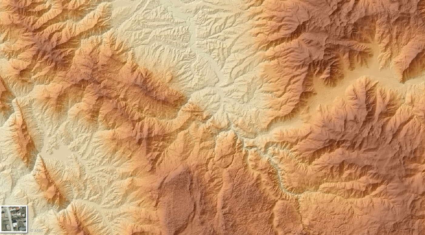
Graphic overview for Digital Terrain Model (MDT 2015- 2017) 3D
Digital Terrain Model (MDT 2015- 2017) 3D The Digital Terrain Model (DTM) describes the three-dimensional shape of the Earth's surface, including all static features located on it. … Albania Sept. 16, 2019 State Authority for Geospatial Information copyright
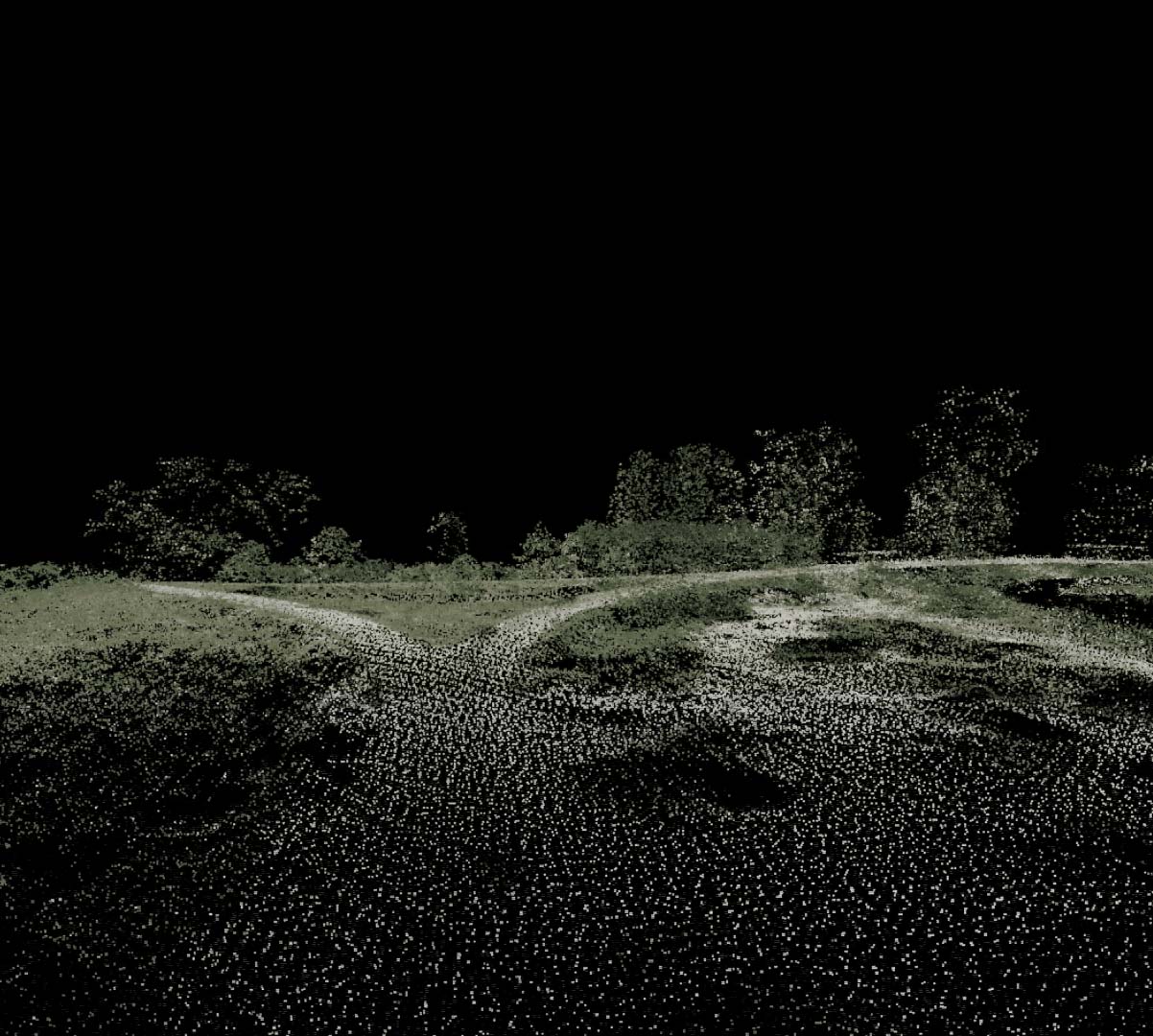
Graphic overview for Digital terrain model of 1 m grid for flood area of Tisa river
Digital terrain model of 1 m grid for flood area of Tisa river Digital terrain model (DMT) is represented by height points determined at the positions of a predetermined grid that characterize the … Serbia Jan. 1, 1970 Republic Geodetic Authority otherRestrictions
Showing 10 of 39 records (filtered)
« first previous Page 3 of 4. next last »