Showing 5 of 5 records (filtered)
Applied filters: Keywords: Flood × Clear all filters
Preview
Title
Abstract
Country
INSPIRE Theme
Publication Date
Responsible Party
Topic Categories
Keywords
Access Constraints
Actions
Graphic overview for Flood areas along category II watercourses in the Bosnian-Podrinje Canton of Goražde
Flood areas along category II watercourses in the Bosnian-Podrinje Canton of Goražde The Cantonal Operational Plan for Flood Protection determines the implementation of active flood protection measures during times of imminent danger … Bosnia and Herzegovina May 30, 2013 Ministry of Economy of the Bosnian-Podrinje Canton Goražde otherRestrictions
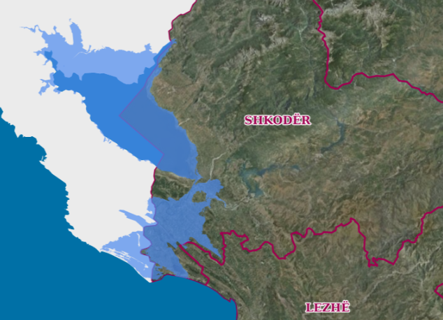
Graphic overview for Drin-Bune Basin, Flood Risk Areas
Drin-Bune Basin, Flood Risk Areas Map of flood risk areas in the Drin-Buna basin depending on the recurrence periods. The data are in accordance with … Albania Oct. 18, 2021 Water Resources Management Agency copyright
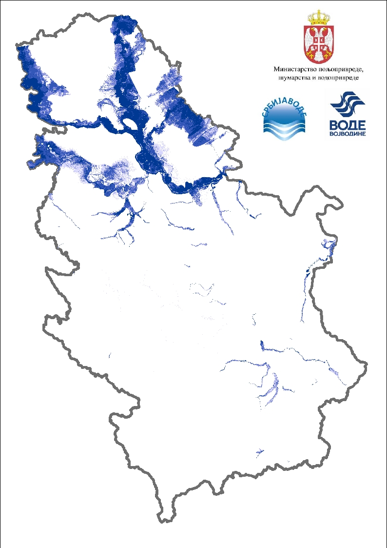
Graphic overview for Flood risk maps
Flood risk maps Flood hazard maps are created for each significant flood area determined by a preliminary flood risk assessment. For the purposes … Serbia None PWMC Srbijavode copyright
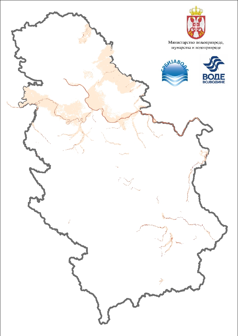
Graphic overview for Flood risk maps - speed display
Flood risk maps - speed display Flood hazard maps are created for each significant flood area determined by a preliminary flood risk assessment. For the purposes … Serbia None PWMC Srbijavode copyright
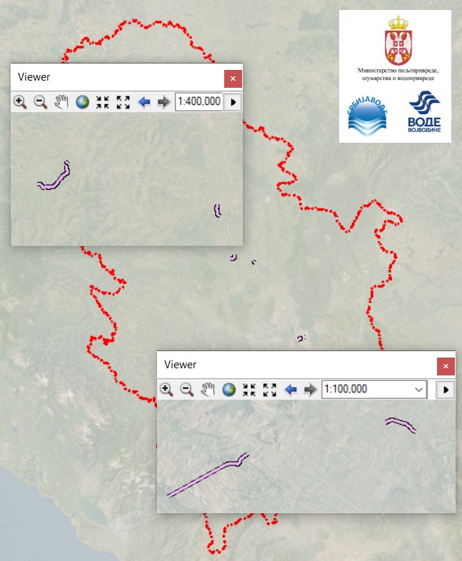
Graphic overview for Protective water facilities against the harmful effects of external and internal waters, erosion and floods on waters of the II order
Protective water facilities against the harmful effects of external and internal waters, erosion and floods on waters of the II order Water facilities are construction and other facilities, which, together with the devices belonging to them, form a technical or technological … Serbia None PWMC Srbijavode copyright
Showing 5 of 5 records (filtered)