Showing 10 of 136 records (filtered)
Applied filters: Keywords: GIS × Clear all filters
« first previous Page 2 of 14. next last »
Preview
Title
Abstract
Country
INSPIRE Theme
Publication Date
Responsible Party
Topic Categories
Keywords
Access Constraints
Actions
Graphic overview for Regulatory plan "Alicja Gaj"
Regulatory plan "Alicja Gaj" The area of 14.7 ha, included in the Plan boundary, is located in the northwest of the Sarajevo Canton, and … Bosnia and Herzegovina Not specified Oct. 30, 2014 Sarajevo Canton Development Planning Institute Not specified otherRestrictions
Graphic overview for Regulatory plan "Alipašin most II and III"
Regulatory plan "Alipašin most II and III" The detailed planning document, the Regulatory Plan "Alipašin most II and III", is based on the adopted land use policy, … Bosnia and Herzegovina Not specified July 18, 2001 Sarajevo Canton Development Planning Institute Not specified otherRestrictions
Graphic overview for Regulatory plan "Barica" - Phase A
Regulatory plan "Barica" - Phase A The area of 31.80 ha included in the Plan boundary is limited to the east by the Kobilja Glava spatial … Bosnia and Herzegovina Not specified Oct. 31, 2019 Sarajevo Canton Development Planning Institute Not specified otherRestrictions
Graphic overview for Regulatory plan "Donji Hadžići II and III - Garovci"
Regulatory plan "Donji Hadžići II and III - Garovci" The detailed planning document Regulatory Plan "Donji Hadžići II and III - Garovci" is based on the adopted land use … Bosnia and Herzegovina Not specified Dec. 22, 2005 Sarajevo Canton Development Planning Institute Not specified otherRestrictions
Graphic overview for Regulatory plan "Ljubnići-Ilijaš"
Regulatory plan "Ljubnići-Ilijaš" The area of 3.8 ha, included in the Plan boundary, is located in the northwest of the Sarajevo Canton, and … Bosnia and Herzegovina Not specified April 30, 2015 Sarajevo Canton Development Planning Institute Not specified otherRestrictions
Graphic overview for Road network of the Republic of North Macedonia (TK 200-2004), metadata for the dataset
Road network of the Republic of North Macedonia (TK 200-2004), metadata for the dataset The road network displays the following data types: highway, main road, regional road, local road, footpaths and roads under construction. … North Macedonia July 1, 2018 Agency for Real Estate Cadastre otherRestrictions
Graphic overview for Road network of the Republic of North Macedonia TC 200-2017, metadata for dataset
Road network of the Republic of North Macedonia TC 200-2017, metadata for dataset The content of the dataset "Road Network of the Republic of North Macedonia TC 200-2017" has been updated from the … North Macedonia Dec. 31, 2024 Agency for Real Estate Cadastre otherRestrictions
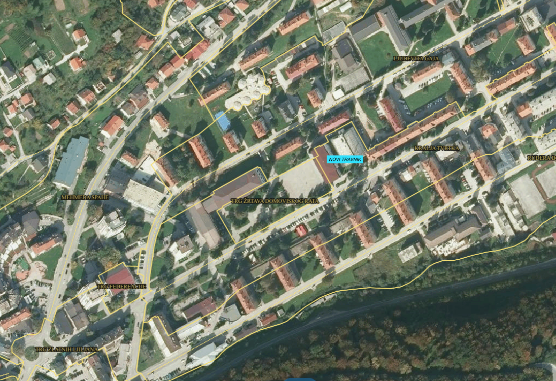
Graphic overview for SBK/KSB address register
SBK/KSB address register Aggregate database of addresses from local government units of the KSB/KSF. Bosnia and Herzegovina Jan. 1, 2016 Administration for geodetic and property-legal affairs SBK/KSB otherRestrictions
Graphic overview for Spatial plan for the area of special characteristics of part of the Modrac reservoir catchment area for the period 2016-2036.
Spatial plan for the area of special characteristics of part of the Modrac reservoir catchment area for the period 2016-2036. The Spatial Plan for the Area of Special Characteristics of the Part of the Modrac Reservoir Basin for the Period … Bosnia and Herzegovina Jan. 1, 2023 Ministry of Physical Planning and Environmental Protection of Tuzla Canton otherRestrictions
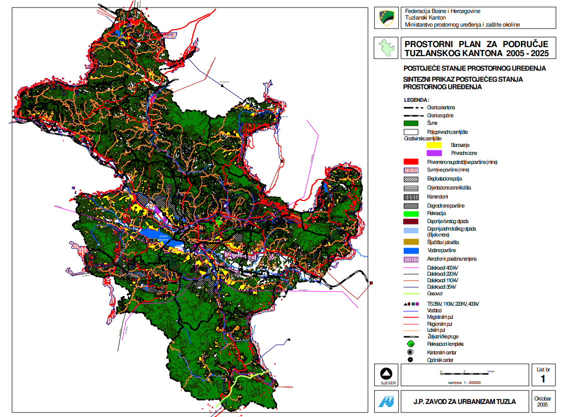
Graphic overview for Spatial plan for the area of Tuzla Canton 2005-2025.
Spatial plan for the area of Tuzla Canton 2005-2025. The Spatial Plan for the Tuzla Canton 2005-2025 is a binding planning document that guides the development of cities/municipalities, i.e. … Bosnia and Herzegovina None Ministry of Physical Planning and Environmental Protection of the Canton of Tuzla otherRestrictions
Showing 10 of 136 records (filtered)
« first previous Page 2 of 14. next last »