Showing 10 of 98 records (filtered)
Applied filters: Responsible Party: Sarajevo Canton Development Planning Institute × Keywords: GIS × Clear all filters
« first previous Page 2 of 10. next last »
Preview
Title
Abstract
Country
INSPIRE Theme
Publication Date
Responsible Party
Topic Categories
Keywords
Access Constraints
Actions
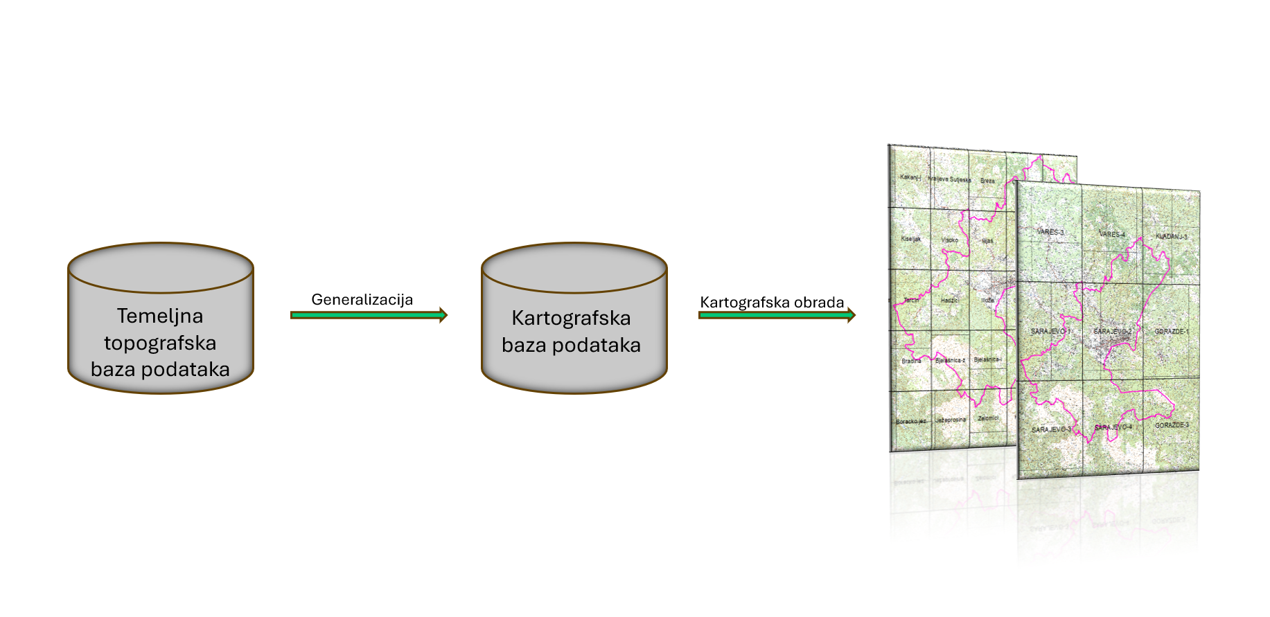
Graphic overview for Basic topographical database of Sarajevo Canton
Basic topographical database of Sarajevo Canton The basic topographic database of the scale 1:10,000 contains detailed information about the relief, hydrological objects, vegetation, infrastructure and other … Bosnia and Herzegovina July 1, 2024 Sarajevo Canton Development Planning Institute other Restrictions
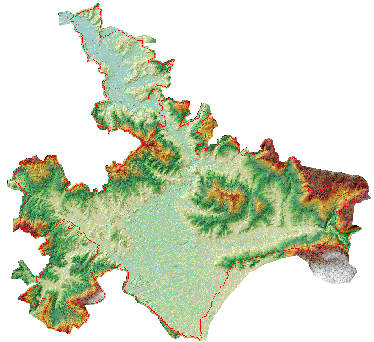
Graphic overview for Digital terrain model of the urban area of the Sarajevo Canton
Digital terrain model of the urban area of the Sarajevo Canton A digital terrain model is a set of positionally and height-determined points and geometric elements that display the terrain with … Bosnia and Herzegovina None Sarajevo Canton Development Planning Institute other Restrictions
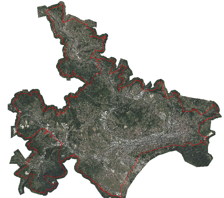
Graphic overview for Orthophoto map of the urban area of the Sarajevo Canton
Orthophoto map of the urban area of the Sarajevo Canton An orthophoto is an aerial/satellite image of the ground in digital raster form, which has been geometrically corrected using special … Bosnia and Herzegovina None Sarajevo Canton Development Planning Institute other Restrictions
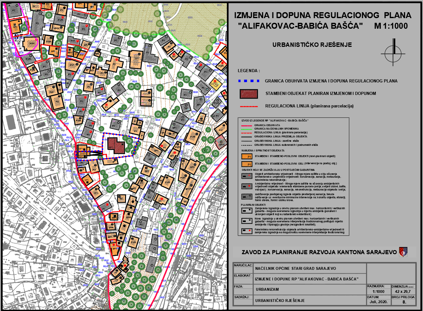
Graphic overview for Regulatory plan "Alifakovac - Babića bašta"
Regulatory plan "Alifakovac - Babića bašta" The area covered by the Regulatory Plan “Alifakovac – Babića Bašća” is located in the northern part of the central … Bosnia and Herzegovina Feb. 28, 2018 Sarajevo Canton Development Planning Institute other Restrictions
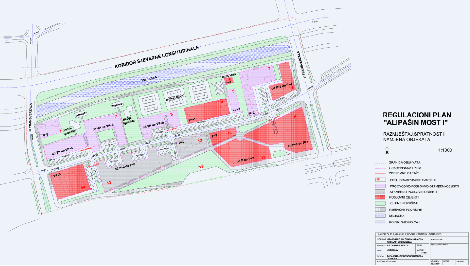
Graphic overview for Regulatory plan "Alipašin most I"
Regulatory plan "Alipašin most I" The area covered by the Regulatory Plan "Alipašin most I" is located between the X and XI transversals, the Miljacka … Bosnia and Herzegovina May 8, 2001 Sarajevo Canton Development Planning Institute other Restrictions
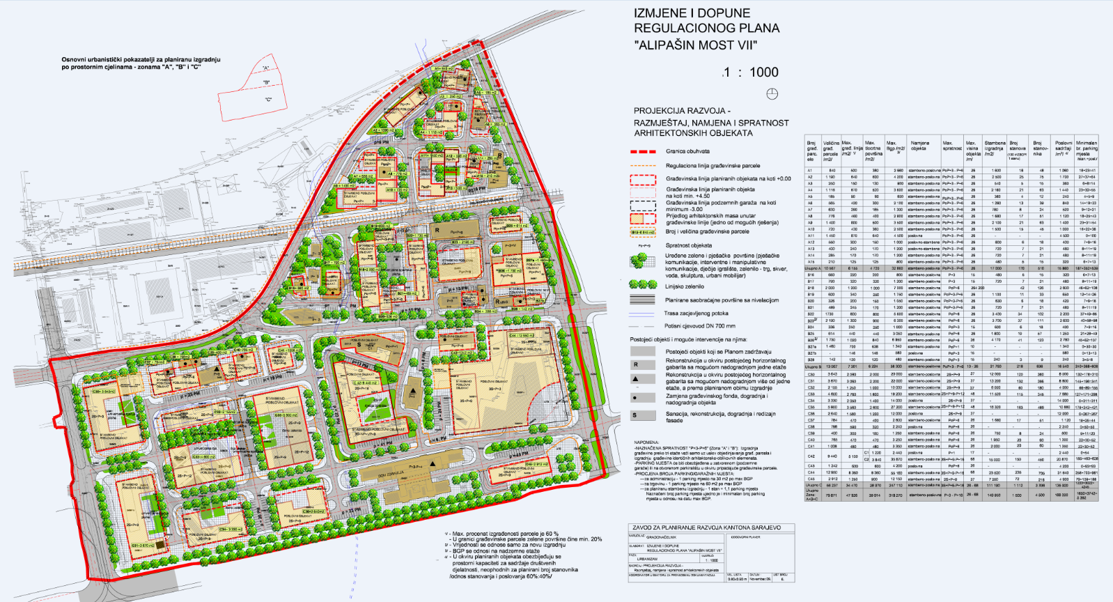
Graphic overview for Regulatory plan "Alipašin most VII"
Regulatory plan "Alipašin most VII" The detailed planning document, the "Alipašin most VII" regulatory plan, is based on the adopted land use policy, development strategies … Bosnia and Herzegovina Feb. 16, 2016 Sarajevo Canton Development Planning Institute other Restrictions
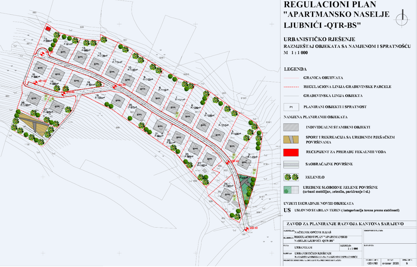
Graphic overview for Regulatory plan "Apartment settlement Ljubnići-QTR-BS"
Regulatory plan "Apartment settlement Ljubnići-QTR-BS" The area of 3.43 ha included in the Plan boundary is located in the western part of the Ilijaš Municipality, … Bosnia and Herzegovina Oct. 31, 2020 Sarajevo Canton Development Planning Institute other Restrictions
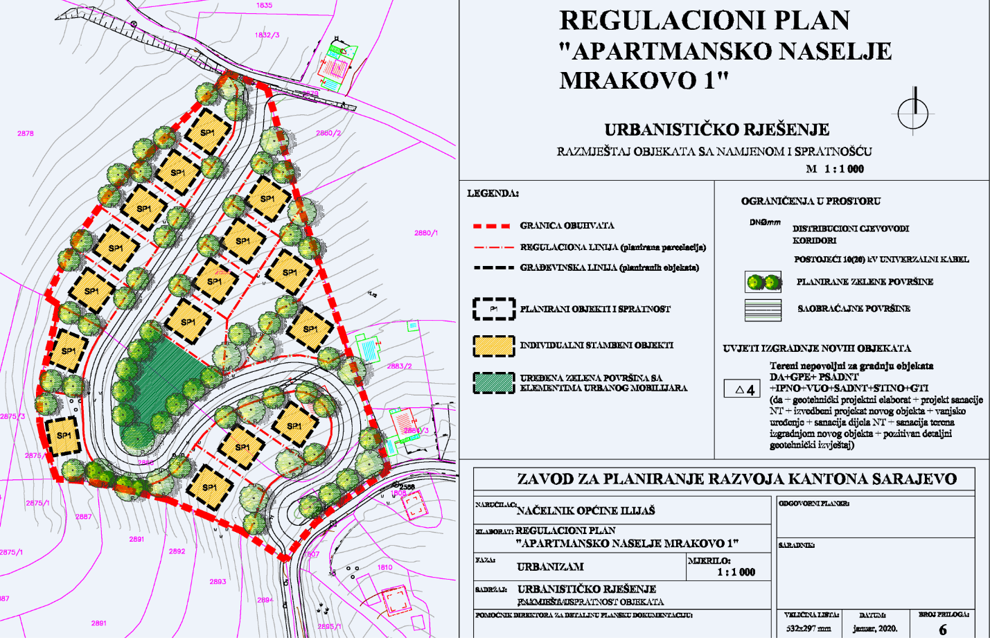
Graphic overview for Regulatory plan "Apartment settlement Mrakovo I" - Ilijaš
Regulatory plan "Apartment settlement Mrakovo I" - Ilijaš The spatial coverage of 1.2 ha is located mostly in the Mrakovo settlement. The entire slope gravitates towards the Nijenica … Bosnia and Herzegovina June 30, 2020 Sarajevo Canton Development Planning Institute other Restrictions
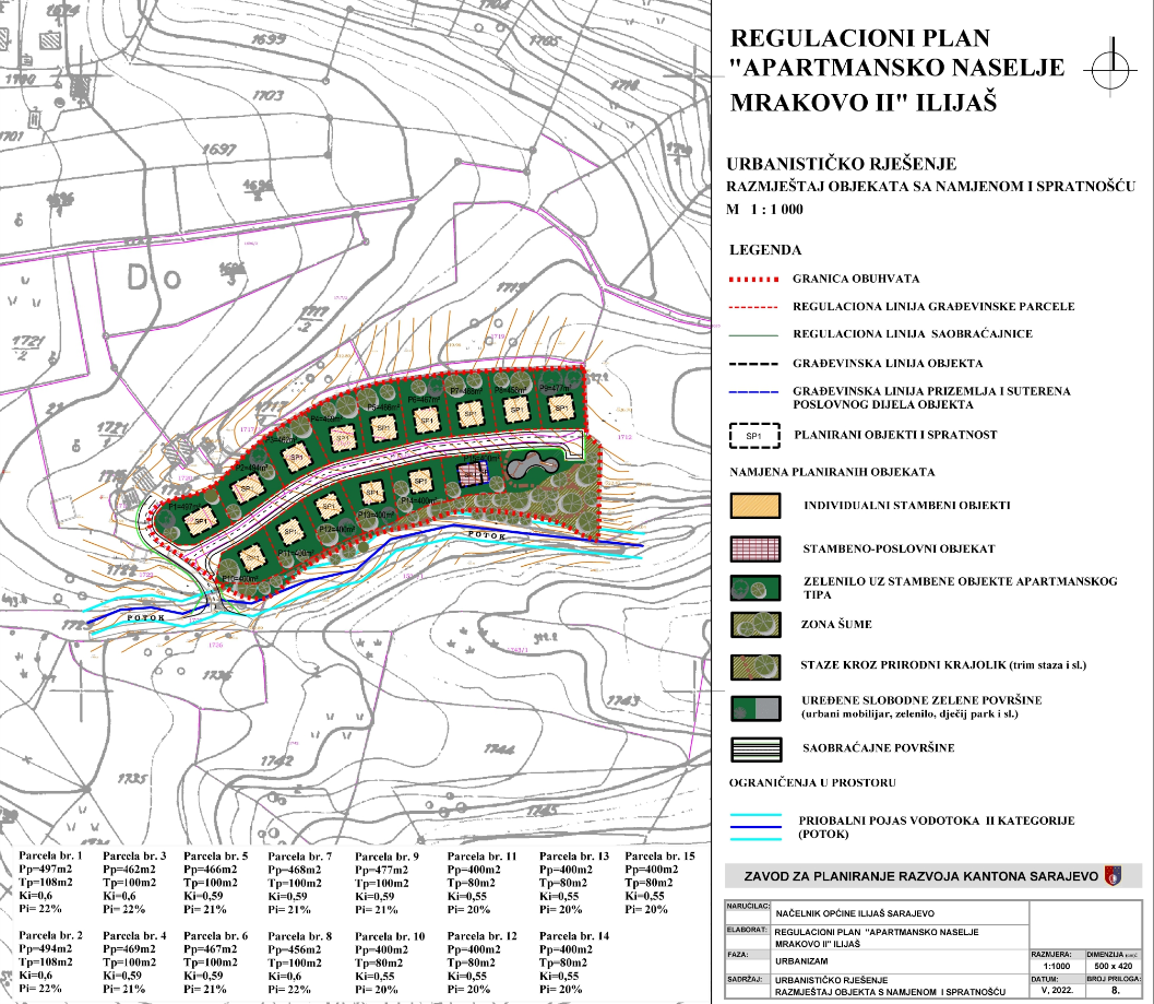
Graphic overview for Regulatory plan "Apartment settlement Mrakovo II" - Ilijaš
Regulatory plan "Apartment settlement Mrakovo II" - Ilijaš The spatial coverage of the area of 1 ha is limited by an irregular polygonal contour and is located in … Bosnia and Herzegovina Nov. 29, 2022 Sarajevo Canton Development Planning Institute other Restrictions
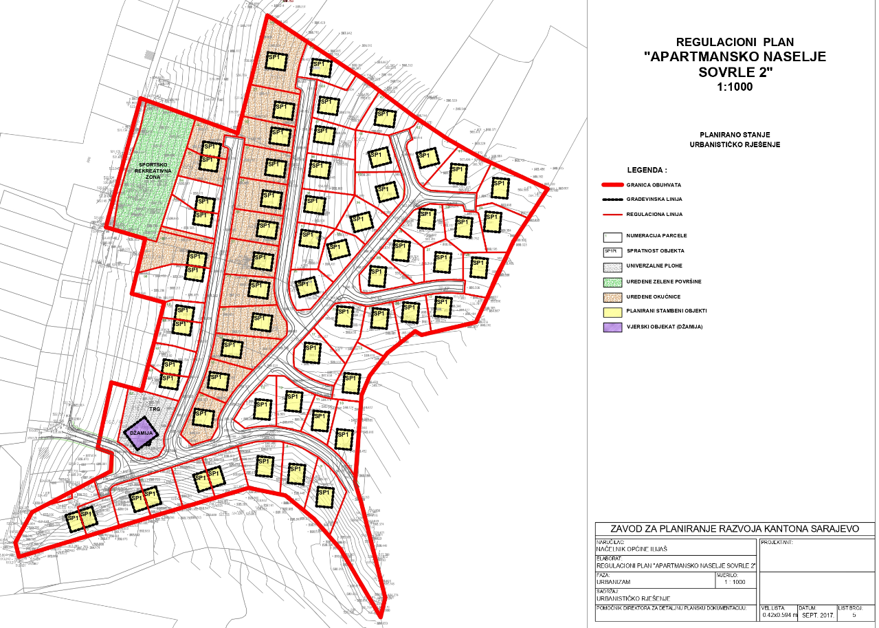
Graphic overview for Regulatory plan "Apartment settlement Sovrle II" - Ilijaš
Regulatory plan "Apartment settlement Sovrle II" - Ilijaš The detailed planning document Regulatory Plan "Apartment Settlement Sovrle II" - Ilijaš is based on the adopted land use policy, … Bosnia and Herzegovina Dec. 28, 2017 Sarajevo Canton Development Planning Institute other Restrictions
Showing 10 of 98 records (filtered)
« first previous Page 2 of 10. next last »