Showing 10 of 43 records (filtered)
Applied filters: Keywords: Hydrography × Clear all filters
Page 1 of 4. next last »
Preview
Title
Abstract
Country
INSPIRE Theme
Publication Date
Responsible Party
Topic Categories
Keywords
Access Constraints
Actions
Graphic overview for Basic geological map of the Republic of North Macedonia at a scale of 1:500,000
Basic geological map of the Republic of North Macedonia at a scale of 1:500,000 Basic geological map of the Republic of North Macedonia at a scale of 1:500,000 North Macedonia Not specified Jan. 1, 1966 Geological Survey of the Republic of North Macedonia otherRestrictions
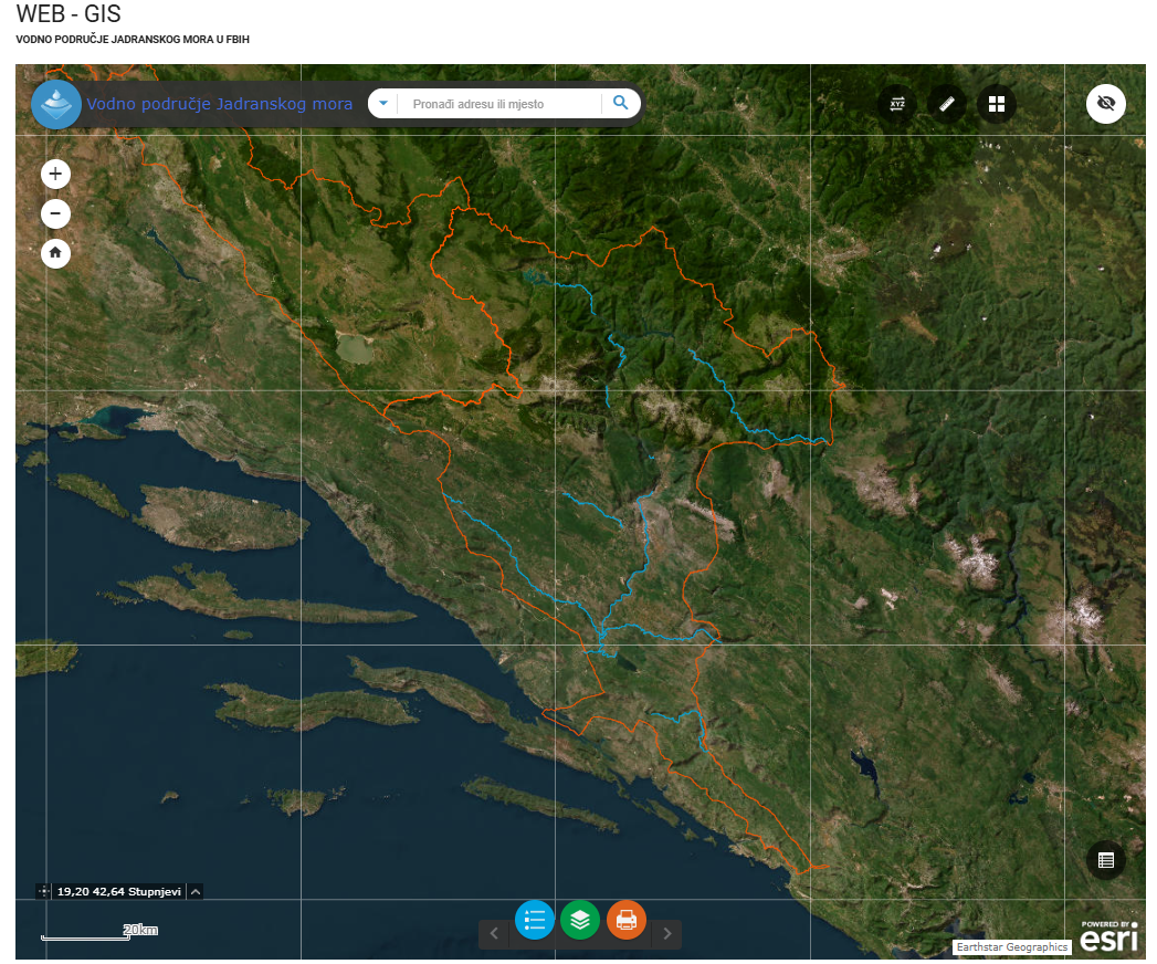
Graphic overview for Category I watercourses in the Adriatic Sea water area
Category I watercourses in the Adriatic Sea water area Category I watercourses in the Adriatic Sea watershed that are under the jurisdiction of the Adriatic Sea Watershed Agency under … Bosnia and Herzegovina None Agency for the Adriatic Sea Water Area otherRestrictions
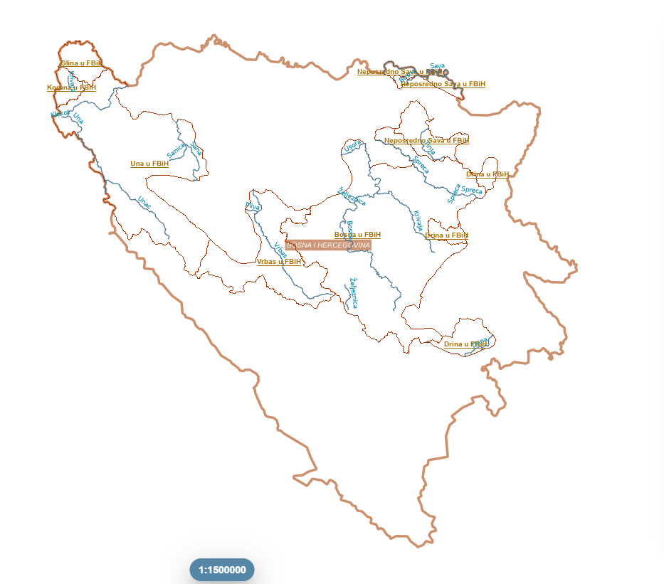
Graphic overview for Category I watercourses in the Sava River basin
Category I watercourses in the Sava River basin Category I watercourses in the Sava River Basin District that are under the jurisdiction of the Sava River Basin Agency … Bosnia and Herzegovina None Sava River Basin Agency otherRestrictions
Graphic overview for Ecological status of surface water bodies, coastal waters (CWB)
Ecological status of surface water bodies, coastal waters (CWB) These data are generated from the Ishëm and Erzen River Basin Management Plans, approved respectively by VKM no. 624, dated … Albania March 25, 2026 Water Resources Management Agency (WRMA) copyright
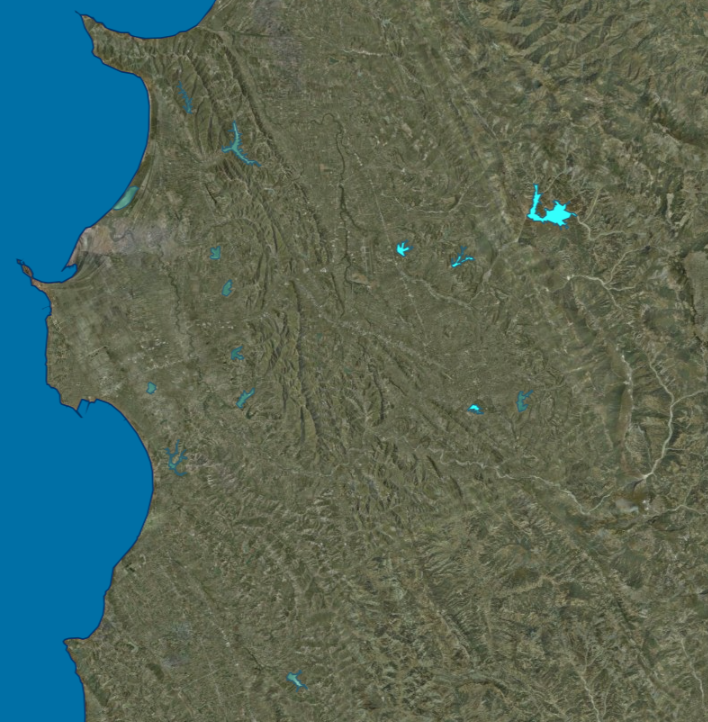
Graphic overview for Ecological status of surface water bodies, lakes (LWB)
Ecological status of surface water bodies, lakes (LWB) These data are generated from the Ishëm and Erzen River Basin Management Plans, approved respectively by VKM no. 624, dated … Albania March 25, 2026 Water Resources Management Agency (WRMA) copyright
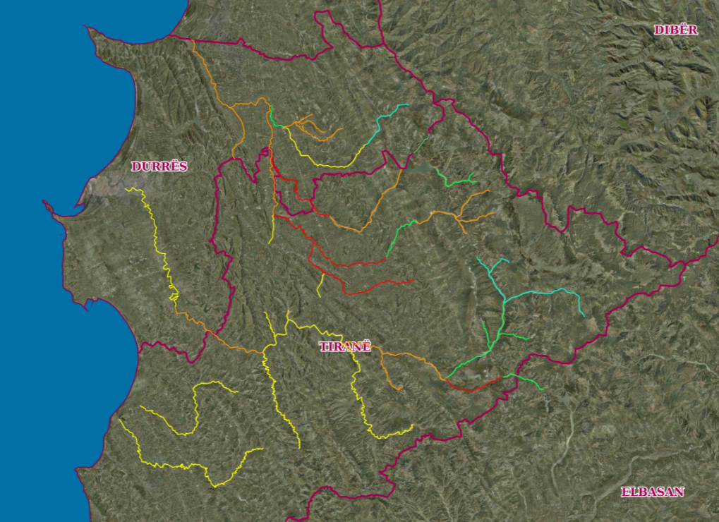
Graphic overview for Ecological status of surface water bodies, rivers (RWB)
Ecological status of surface water bodies, rivers (RWB) These data are generated from the Ishëm and Erzen River Basin Management Plans, approved respectively by VKM no. 624, dated … Albania March 25, 2026 Water Resources Management Agency (WRMA) copyright
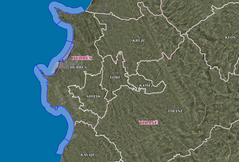
Graphic overview for Ecological status of surface water bodies, transitional waters (TWB)
Ecological status of surface water bodies, transitional waters (TWB) These data are generated from the Ishëm and Erzen River Basin Management Plans, approved respectively with VKM no. 624, date … Albania March 25, 2026 Water Resources Management Agency (WRMA) copyright
Graphic overview for Flood areas along category II watercourses in the Bosnian-Podrinje Canton of Goražde
Flood areas along category II watercourses in the Bosnian-Podrinje Canton of Goražde The Cantonal Operational Plan for Flood Protection determines the implementation of active flood protection measures during times of imminent danger … Bosnia and Herzegovina May 30, 2013 Ministry of Economy of the Bosnian-Podrinje Canton Goražde otherRestrictions
Graphic overview for General geographic map from the Military Geographical Institute Belgrade (VGI) at a scale of 1:1000000- Skopje K34, metadata for the dataset
General geographic map from the Military Geographical Institute Belgrade (VGI) at a scale of 1:1000000- Skopje K34, metadata for the dataset The general geographic map at a scale of 1:1000000 was produced by the VGI Belgrade and supplemented in 1972. The … North Macedonia Not specified None Agency for Real Estate Cadastre otherRestrictions
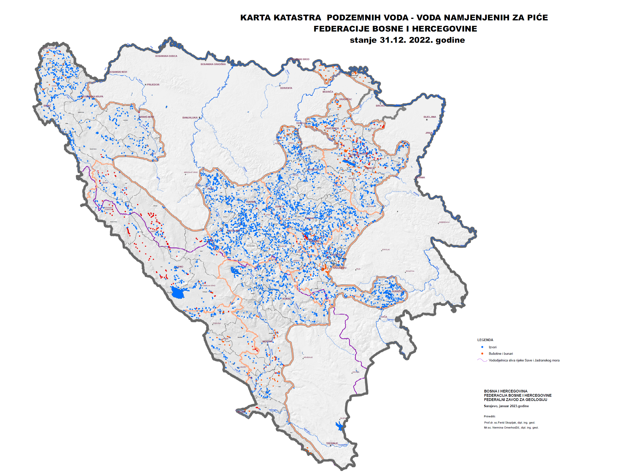
Graphic overview for Groundwater Cadastre of the Federation of Bosnia and Herzegovina
Groundwater Cadastre of the Federation of Bosnia and Herzegovina The Groundwater Register of the Federation of Bosnia and Herzegovina is a comprehensive document that includes cadastral lists of groundwater … Bosnia and Herzegovina None Federal Institute of Geology otherRestrictions
Showing 10 of 43 records (filtered)
Page 1 of 4. next last »