Showing 10 of 52 records (filtered)
Applied filters: Keywords: Image × Clear all filters
« first previous Page 3 of 5. next last »
Preview
Title
Abstract
Country
INSPIRE Theme
Publication Date
Responsible Party
Topic Categories
Keywords
Access Constraints
Actions
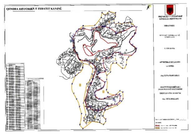
Graphic overview for Council of Ministers No. 729, dated 16.09.2020, Historical center of the village of Kaninë (image).
Council of Ministers No. 729, dated 16.09.2020, Historical center of the village of Kaninë (image). The image of the "Historical Center" area of the village of Kaninë defines the area approved by the Decision of … Albania Oct. 6, 2020 National Institute of Cultural Heritage copyright
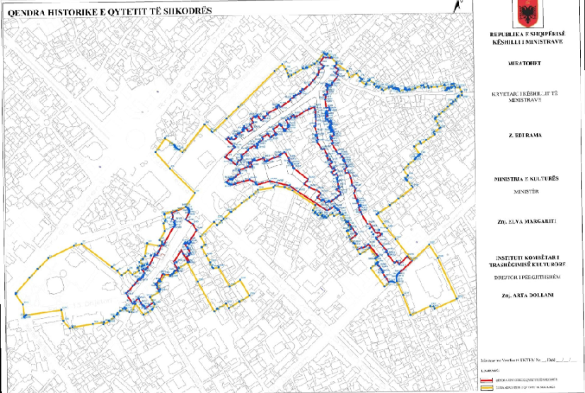
Graphic overview for Council of Ministers No. 771, dated 30.09.2020, Historical center of the city of Shkodra (Image).
Council of Ministers No. 771, dated 30.09.2020, Historical center of the city of Shkodra (Image). Based on the Council of Ministers No. 771, dated 30.09.2020, declaring the "Historical Center" of the City of Shkodra a … Albania March 2, 2022 National Institute of Cultural Heritage copyright
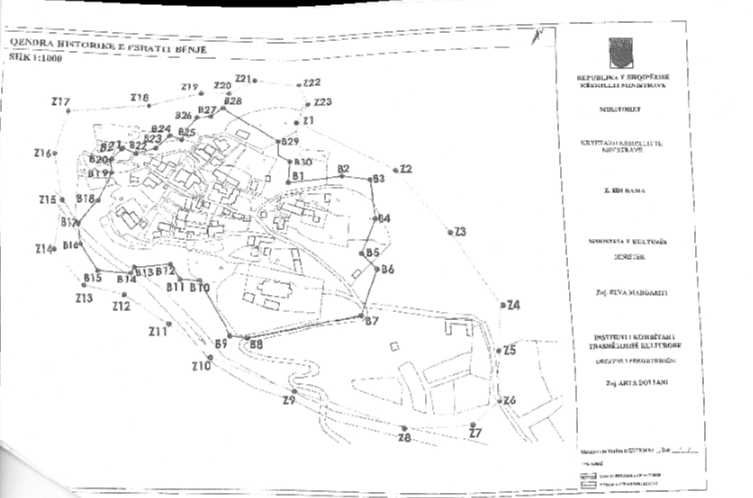
Graphic overview for Council of Ministers No. 832, dated 24.12.2021, Historical center of the village of Bënjë (Image).
Council of Ministers No. 832, dated 24.12.2021, Historical center of the village of Bënjë (Image). Based on the Council of Ministers No. 832, dated 24.12.2021, declaring the "Historical Center" of the village of Bënjë a … Albania Jan. 24, 2022 National Institute of Cultural Heritage copyright
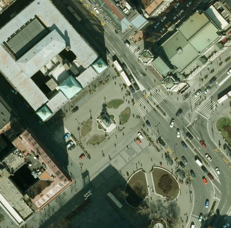
Graphic overview for Digital orthophoto
Digital orthophoto Digital orthophoto (DOF) is a georeferenced digital image of a part of the earth's surface of certain dimensions that has … Serbia Jan. 1, 1970 Republic Geodetic Authority otherRestrictions
Graphic overview for Digital orthophoto of resolution 1.5 m (2014-2015)
Digital orthophoto of resolution 1.5 m (2014-2015) Digital orthophoto (DOP) is a georeferenced digital image of a part of the earth's surface of certain dimensions that has … Serbia Jan. 1, 1970 Republic Geodetic Authority otherRestrictions
Graphic overview for Digital orthophoto of resolution 2.5 m (2005-2007)
Digital orthophoto of resolution 2.5 m (2005-2007) Digital orthophoto (DOP) is georeferenced digital image of a part of the earth's surface of certain dimensions that has the … Serbia Jan. 1, 1970 Republic Geodetic Authority otherRestrictions
Graphic overview for Digital orthophoto of resolution 2.5 m (2011-2012)
Digital orthophoto of resolution 2.5 m (2011-2012) Digital orthophoto (DOP) is a georeferenced digital image of a part of the earth's surface of certain dimensions that has … Serbia Jan. 1, 1970 Republic Geodetic Authority otherRestrictions
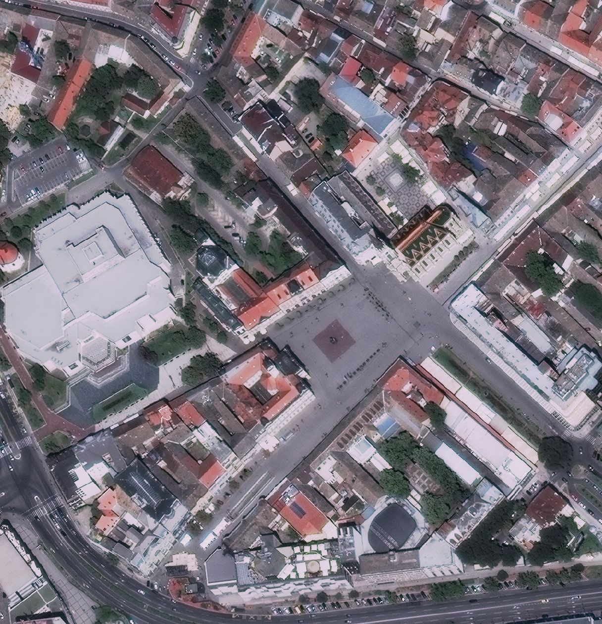
Graphic overview for Digital orthophoto of resolution 30 cm (2015-2016)
Digital orthophoto of resolution 30 cm (2015-2016) Digital orthophoto (DOP) is a georeferenced digital image of a part of the earth's surface of certain dimensions that has … Serbia Jan. 1, 1970 Republic Geodetic Authority otherRestrictions
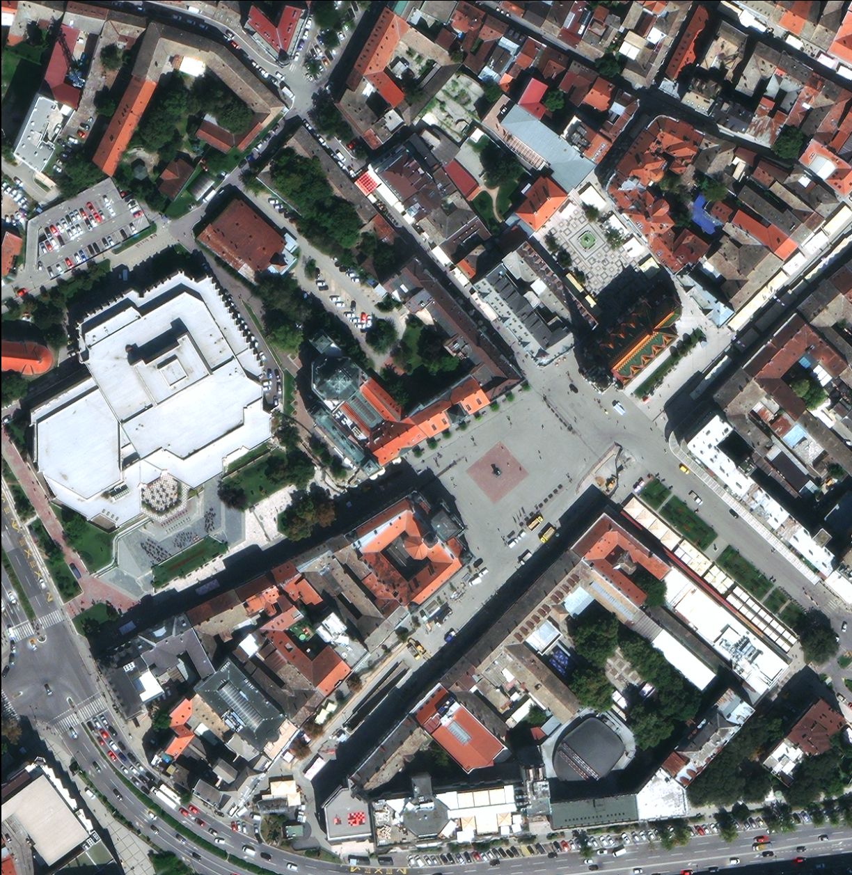
Graphic overview for Digital orthophoto of resolution 30 cm (2020-2021)
Digital orthophoto of resolution 30 cm (2020-2021) Digital orthophoto (DOP) is a georeferenced digital image of a part of the earth's surface of certain dimensions that has … Serbia Jan. 1, 1970 Republic Geodetic Authority copyright
Showing 10 of 52 records (filtered)
« first previous Page 3 of 5. next last »