Showing 10 of 151 records (filtered)
Applied filters: Keywords: Land × Clear all filters
« first previous Page 5 of 15. next last »
Preview
Title
Abstract
Country
INSPIRE Theme
Publication Date
Responsible Party
Topic Categories
Keywords
Access Constraints
Actions
Graphic overview for Land Classification in the Republic of North Macedonia TK25-2017, metadata of the review service - WMS
Land Classification in the Republic of North Macedonia TK25-2017, metadata of the review service - WMS The metadata of the land classification review service. The updated data for the land classification collection of the Republic of … North Macedonia Not specified March 19, 2024 Agency for Real Estate Cadastre Not specified otherRestrictions
Graphic overview for Land Classification in the Republic of North Macedonia, metadata of the dataset - INSPIRE
Land Classification in the Republic of North Macedonia, metadata of the dataset - INSPIRE The land classification dataset of the Republic of North Macedonia covers land cover such as arable land, vineyards, forests, pastures, … North Macedonia Not specified Nov. 27, 2019 Agency for Real Estate Cadastre otherRestrictions
Graphic overview for Land Classification in the Republic of North Macedonia, metadata of the review service, WMS
Land Classification in the Republic of North Macedonia, metadata of the review service, WMS Service for viewing the land classification data collection - WMS of the Republic of North Macedonia from the TK 25 … North Macedonia Not specified Nov. 27, 2019 Agency for Real Estate Cadastre Not specified otherRestrictions
Graphic overview for Land cover according to the criteria of the 2009 LDS
Land cover according to the criteria of the 2009 LDS The land use data is based on orthophoto maps from 2009. The land use data is created exclusively for agricultural … North Macedonia Jan. 1, 2009 Ministry of Agriculture, Forestry and Water Management otherRestrictions
Graphic overview for Land use in accordance with the criteria for the 2017 LLP
Land use in accordance with the criteria for the 2017 LLP The land use data is based on orthophoto maps from 2017. The land use data is created exclusively for agricultural … North Macedonia Aug. 15, 2017 Ministry of Agriculture, Forestry and Water Management otherRestrictions
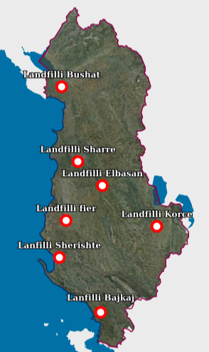
Graphic overview for Landfill
Landfill Waste Landfill – Each location of the respective landfill and the technical specifications specified in the relevant permit. The data … Albania Aug. 18, 2026 National Environmental Agency (NEA) copyright
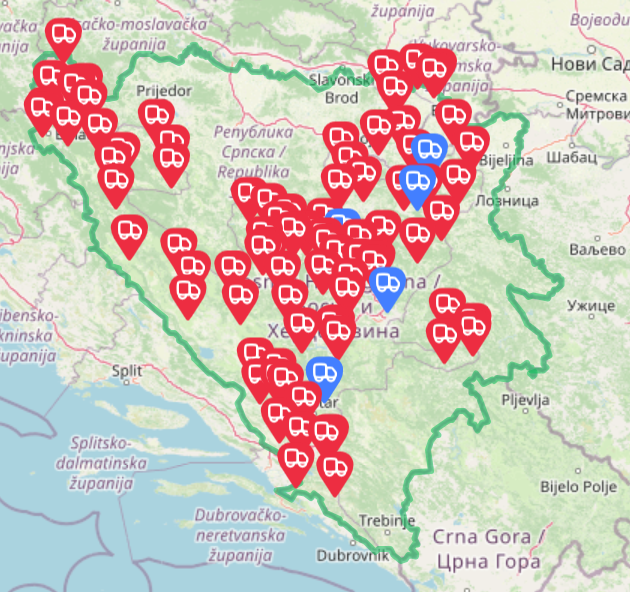
Graphic overview for Landfills for waste disposal in the territory of the Federation of BiH
Landfills for waste disposal in the territory of the Federation of BiH Basic information and overview of landfills in the FBiH Bosnia and Herzegovina July 20, 2025 FBiH Environmental Protection Fund otherRestrictions
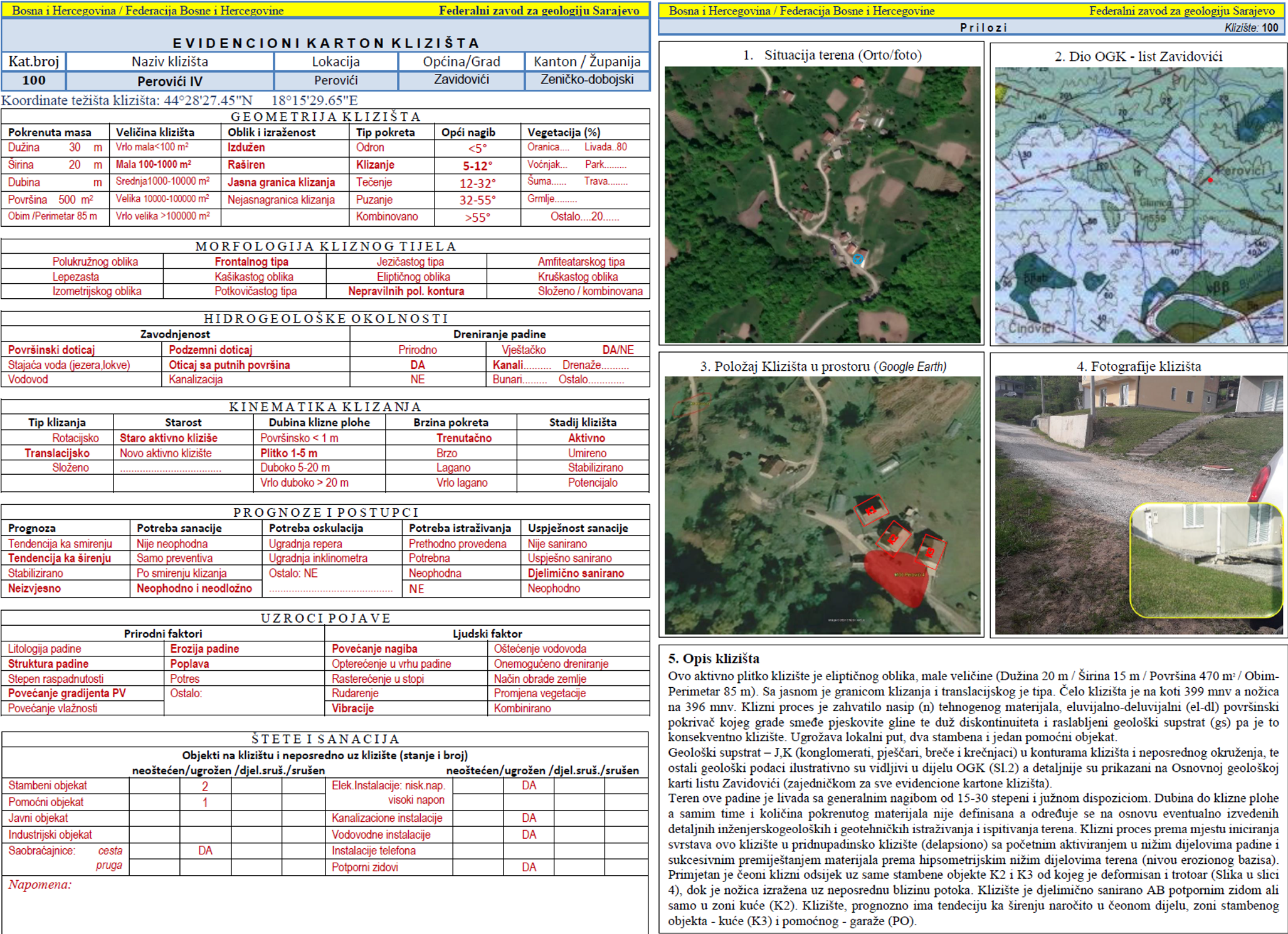
Graphic overview for Landslide Cadastre of the Federation of Bosnia and Herzegovina
Landslide Cadastre of the Federation of Bosnia and Herzegovina The Landslide Cadastre of the Federation of Bosnia and Herzegovina represents a central database of registered landslides in the territory … Bosnia and Herzegovina None Federal Institute of Geology otherRestrictions
Graphic overview for LIDAR 3D laser scanning of the terrain (phase 1) - point cloud (x,y,z)
LIDAR 3D laser scanning of the terrain (phase 1) - point cloud (x,y,z) point cloud is a large collection of 3D points, which have defined x, y and z coordinates but can also … North Macedonia Not specified Dec. 1, 2020 Agency for Real Estate Cadastre otherRestrictions
Graphic overview for Natural Monuments, Dataset Metadata
Natural Monuments, Dataset Metadata Natural monument — a natural or natural-cultural feature of exceptional or unique value due to its rarity, aesthetic quality, or … North Macedonia Sept. 15, 2004 Ministry of Environment and Physical Planning otherRestrictions
Showing 10 of 151 records (filtered)
« first previous Page 5 of 15. next last »