Showing 10 of 151 records (filtered)
Applied filters: Keywords: Land × Clear all filters
« first previous Page 9 of 15. next last »
Preview
Title
Abstract
Country
INSPIRE Theme
Publication Date
Responsible Party
Topic Categories
Keywords
Access Constraints
Actions
Graphic overview for Spatial plan of the region of the protected zones of the Rašče spring
Spatial plan of the region of the protected zones of the Rašče spring The Spatial Plan of the Region of the Protection Zones of the Rasce Spring is a development of the Spatial … North Macedonia Dec. 24, 2002 Spatial Planning Agency otherRestrictions
Graphic overview for Spatial plan of the Republic of Macedonia
Spatial plan of the Republic of Macedonia The Spatial Plan of the Republic of Macedonia is a planning document of the highest national importance. It is a … North Macedonia June 11, 2004 Spatial Planning Agency otherRestrictions
Graphic overview for Spatial plan of the Treska River Basin region, metadata for WMS view service
Spatial plan of the Treska River Basin region, metadata for WMS view service The spatial plan of the Treska River Basin Region is a management document, an integral development project in nature, with … North Macedonia Not specified Feb. 21, 2007 Spatial Planning Agency Not specified otherRestrictions
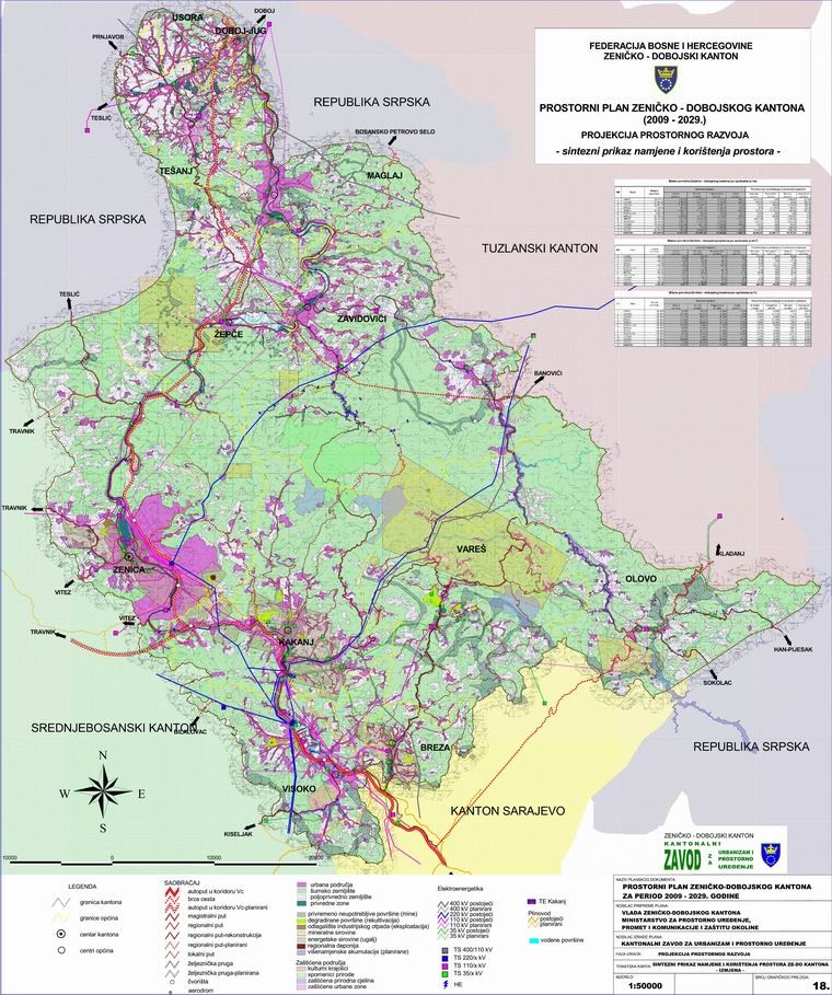
Graphic overview for Spatial Plan of Zenica-Doboj Canton 2009-2029.
Spatial Plan of Zenica-Doboj Canton 2009-2029. The Spatial Plan of the Zenica-Doboj Canton is the first mandatory planning document for the territory of the Canton, which … Bosnia and Herzegovina Feb. 20, 2009 Institute for Urban Planning and Spatial Development of Zenica-Doboj Canton otherRestrictions
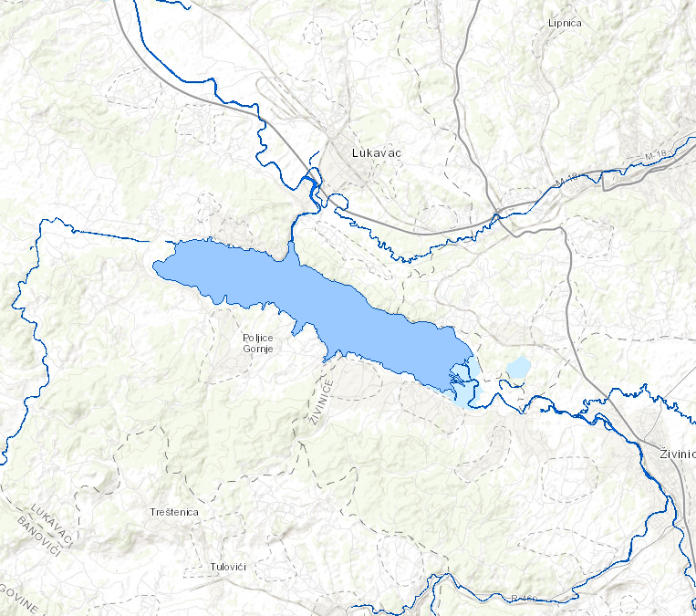
Graphic overview for Standing waters of the Sava River
Standing waters of the Sava River This data set contains all stagnant waters (lakes, ponds, wetlands and reservoirs) in the Sava river basin managed by AVP … Bosnia and Herzegovina Jan. 1, 2008 Sava River Basin Agency otherRestrictions
Graphic overview for Study "Inventory of the state and updating of data on agricultural areas of the Sarajevo Canton"
Study "Inventory of the state and updating of data on agricultural areas of the Sarajevo Canton" The subject of the Study is to determine the current state of land cover in the Sarajevo Canton by land … Bosnia and Herzegovina Feb. 1, 2024 Ministry of Municipal Economy, Infrastructure, Spatial Planning, Construction and Environmental Protection of Sarajevo Canton otherRestrictions
Graphic overview for Study on the protection of cultural and historical heritage for the Spatial Plan of the special feature of the protected landscape "Trebević"
Study on the protection of cultural and historical heritage for the Spatial Plan of the special feature of the protected landscape "Trebević" The study on the protection of cultural and historical heritage for the Spatial Plan of the Special Feature of the … Bosnia and Herzegovina Jan. 1, 2017 Public Institution "Cantonal Institute for the Protection of Cultural, Historical and Natural Heritage Sarajevo" restricted
Graphic overview for The Spatial plan of the region of the Treska watershed
The Spatial plan of the region of the Treska watershed The Spatial plan of the region of the Treska watershed is a management document, an integral development project, which is … North Macedonia Feb. 21, 2007 Spatial Planning Agency otherRestrictions
Graphic overview for Topographic map from the Military Geographical Institute Belgrade (VGI) at a scale of 1:100000 (TK100), metadata for the dataset
Topographic map from the Military Geographical Institute Belgrade (VGI) at a scale of 1:100000 (TK100), metadata for the dataset The topographic map at a scale of 1:100,000 was produced by the VGI Belgrade in the period 1970-1987. The territory … North Macedonia Not specified Jan. 1, 1970 Agency for Real Estate Cadastre otherRestrictions
Graphic overview for Topographic map from the Military Geographical Institute Belgrade (VGI) at a scale of 1:200000 (TK200), metadata for the dataset
Topographic map from the Military Geographical Institute Belgrade (VGI) at a scale of 1:200000 (TK200), metadata for the dataset The topographic map at a scale of 1:200,000 was produced by the VGI Belgrade in 1973. The territory of the … North Macedonia Not specified Jan. 1, 1973 Agency for Real Estate Cadastre otherRestrictions
Showing 10 of 151 records (filtered)
« first previous Page 9 of 15. next last »