Showing 10 of 74 records (filtered)
Applied filters: Keywords: Land use × Clear all filters
« first previous Page 5 of 7. next last »
Preview
Title
Abstract
Country
INSPIRE Theme
Publication Date
Responsible Party
Topic Categories
Keywords
Access Constraints
Actions
Graphic overview for Spatial plan of the Republic of Macedonia
Spatial plan of the Republic of Macedonia The Spatial Plan of the Republic of Macedonia is a planning document of the highest national importance. It is a … North Macedonia June 11, 2004 Spatial Planning Agency otherRestrictions
Graphic overview for Spatial plan of the Treska River Basin region, metadata for WMS view service
Spatial plan of the Treska River Basin region, metadata for WMS view service The spatial plan of the Treska River Basin Region is a management document, an integral development project in nature, with … North Macedonia Not specified Feb. 21, 2007 Spatial Planning Agency Not specified otherRestrictions
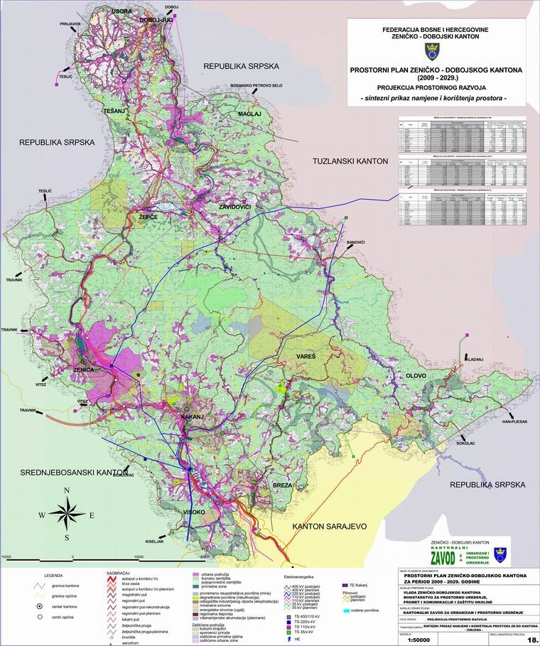
Graphic overview for Spatial Plan of Zenica-Doboj Canton 2009-2029.
Spatial Plan of Zenica-Doboj Canton 2009-2029. The Spatial Plan of the Zenica-Doboj Canton is the first mandatory planning document for the territory of the Canton, which … Bosnia and Herzegovina Feb. 20, 2009 Institute for Urban Planning and Spatial Development of Zenica-Doboj Canton otherRestrictions
Graphic overview for Study "Inventory of the state and updating of data on agricultural areas of the Sarajevo Canton"
Study "Inventory of the state and updating of data on agricultural areas of the Sarajevo Canton" The subject of the Study is to determine the current state of land cover in the Sarajevo Canton by land … Bosnia and Herzegovina Feb. 1, 2024 Ministry of Municipal Economy, Infrastructure, Spatial Planning, Construction and Environmental Protection of Sarajevo Canton otherRestrictions
Graphic overview for The Spatial plan of the region of the Treska watershed
The Spatial plan of the region of the Treska watershed The Spatial plan of the region of the Treska watershed is a management document, an integral development project, which is … North Macedonia Feb. 21, 2007 Spatial Planning Agency otherRestrictions
Graphic overview for Topographic map of the Republic of North Macedonia at a scale of 1:50000 (TK 50 - 2017) - raster, metadata for the dataset
Topographic map of the Republic of North Macedonia at a scale of 1:50000 (TK 50 - 2017) - raster, metadata for the dataset The contents of the "Topographic Map of the Republic of North Macedonia" at a scale of 1: 50000 (TK 50 … North Macedonia Not specified Aug. 1, 2024 Agency for Real Estate Cadastre otherRestrictions
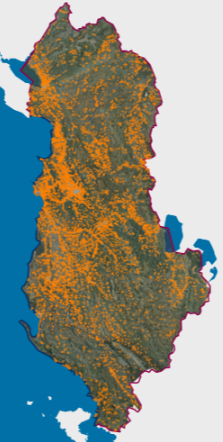
Graphic overview for Urban Areas (AKPT)
Urban Areas (AKPT) Created based on decision No. 5 dated 29.12.2014 of the KKT "For the identification of urbanized areas throughout the territory … Albania Aug. 13, 2015 National Territorial Planning Agency (NTPA) copyright
Graphic overview for Urban plan of the city of Sarajevo for the urban area of Hadžići 1986 - 2015.
Urban plan of the city of Sarajevo for the urban area of Hadžići 1986 - 2015. Urban plans are prepared for urban areas, and their boundaries are defined by the Spatial Plan of the Sarajevo Canton. … Bosnia and Herzegovina Not specified None Sarajevo Canton Development Planning Institute Not specified otherRestrictions
Graphic overview for Urban plan of the Ilijaš urban area 1986 - 2015.
Urban plan of the Ilijaš urban area 1986 - 2015. Urban plans are adopted for urban areas, and the boundaries of the areas for which they are prepared are defined … Bosnia and Herzegovina Not specified None Sarajevo Canton Development Planning Institute Not specified otherRestrictions
Graphic overview for Urban planning project "Milkos"
Urban planning project "Milkos" The detailed planning document of the urban development project "Milkos" is based on the adopted land use policy, development strategies … Bosnia and Herzegovina Dec. 30, 2019 Sarajevo Canton Development Planning Institute otherRestrictions
Showing 10 of 74 records (filtered)
« first previous Page 5 of 7. next last »