Showing 15 of 15 records (filtered)
Applied filters: Keywords: Model × Clear all filters
Preview
Title
Abstract
Country
INSPIRE Theme
Publication Date
Responsible Party
Topic Categories
Keywords
Access Constraints
Actions
Graphic overview for Digital Elevation Model of the Republic of Macedonia - raster (DEM), dataset metadata
Digital Elevation Model of the Republic of Macedonia - raster (DEM), dataset metadata Digital Elevation Model (DEM) with a resolution of 20x20m for the entire territory of the Republic of Macedonia. North Macedonia Jan. 1, 2010 Agency for Real Estate Cadastre otherRestrictions
Graphic overview for Digital Elevation Model of the terrain 2009, 5m grid, entire territory of RSM, metadata for the dataset
Digital Elevation Model of the terrain 2009, 5m grid, entire territory of RSM, metadata for the dataset Digital terrain elevation model developed in 2009 for the entire territory of the Republic of Macedonia with a 5m grid North Macedonia Jan. 1, 2009 Ministry of Agriculture, Forestry and Water Management otherRestrictions
Graphic overview for Digital Elevation Model of the terrain 2017, 5m grid, entire territory of RSM, metadata for dataset
Digital Elevation Model of the terrain 2017, 5m grid, entire territory of RSM, metadata for dataset Digital Elevation Model of the terrain 2017, 5m grid, entire territory of RSM, metadata for dataset North Macedonia Not specified Aug. 15, 2017 Ministry of Agriculture, Forestry and Water Management otherRestrictions
Graphic overview for Digital Elevation Model of the terrain of the Republic of Macedonia - isohypses, metadata of the dataset - INSPIRE
Digital Elevation Model of the terrain of the Republic of Macedonia - isohypses, metadata of the dataset - INSPIRE Elevation model of the terrain of the Republic of Macedonia represented through continuous lines with a main contour at 50m. North Macedonia None Agency for Real Estate Cadastre otherRestrictions
Graphic overview for Digital elevation model of the terrain of the Republic of Macedonia - isohypses, metadata of the download service, ATOM - INSPIRE
Digital elevation model of the terrain of the Republic of Macedonia - isohypses, metadata of the download service, ATOM - INSPIRE Dataset download service - Elevation model of the terrain of the Republic of Macedonia represented through continuous lines with a … North Macedonia Not specified Jan. 1, 2015 Agency for Real Estate Cadastre Not specified otherRestrictions
Graphic overview for Digital Elevation Model of the Terrain of the Republic of Macedonia - vector (DTM), dataset metadata
Digital Elevation Model of the Terrain of the Republic of Macedonia - vector (DTM), dataset metadata A regular arrangement of elevation points in vector form at a distance of 20m covering the entire territory of the … North Macedonia Jan. 1, 2010 Agency for Real Estate Cadastre otherRestrictions
Graphic overview for Digital Elevation Model of the terrain of the Republic of North Macedonia (TK 200-2004), metadata of the download service, ATOM - INSPIRE
Digital Elevation Model of the terrain of the Republic of North Macedonia (TK 200-2004), metadata of the download service, ATOM - INSPIRE Dataset download service - Elevation model of the terrain of the Republic of North Macedonia contains: isohips with equidistance of … North Macedonia Not specified March 12, 2024 Agency for Real Estate Cadastre Not specified otherRestrictions
Graphic overview for Digital Elevation Model of the Terrain of the Republic of North Macedonia TK25-2017 - isohypses, metadata for the dataset
Digital Elevation Model of the Terrain of the Republic of North Macedonia TK25-2017 - isohypses, metadata for the dataset The collection of digital elevation models of the terrain of the Republic of North Macedonia has been updated with some … North Macedonia Jan. 1, 2023 Agency for Real Estate Cadastre otherRestrictions
Graphic overview for LIDAR 3D laser scanning of the terrain (phase 1) - digital surface model (DSM)
LIDAR 3D laser scanning of the terrain (phase 1) - digital surface model (DSM) Digital Surface Model - DSM (Digital Surface Model) is a mathematically defined continuous surface in digital form that represents the … North Macedonia Not specified Dec. 1, 2020 Agency for Real Estate Cadastre otherRestrictions
Graphic overview for LIDAR 3D laser scanning of the terrain (phase 1) - digital terrain model (DTM)
LIDAR 3D laser scanning of the terrain (phase 1) - digital terrain model (DTM) Digital Terrain Model - DTM (Digital Terrain Model) is a mathematically defined continuous surface in digital form that represents the … North Macedonia Not specified Dec. 1, 2020 Agency for Real Estate Cadastre otherRestrictions
Graphic overview for Topographic features (TK 200-2004), metadata for dataset
Topographic features (TK 200-2004), metadata for dataset The dataset of topographic features of the Republic of North Macedonia contains: isohips with equidistance of 500m, 100m, 50m and … North Macedonia July 1, 2018 Agency for Real Estate Cadastre otherRestrictions
Graphic overview for Topographical features of the Republic of North Macedonia TC 200-2017, metadata for the dataset
Topographical features of the Republic of North Macedonia TC 200-2017, metadata for the dataset The content of the dataset for "Topographic Features of the Republic of North Macedonia TC 200-2017" has been updated from … North Macedonia Dec. 31, 2024 Agency for Real Estate Cadastre otherRestrictions
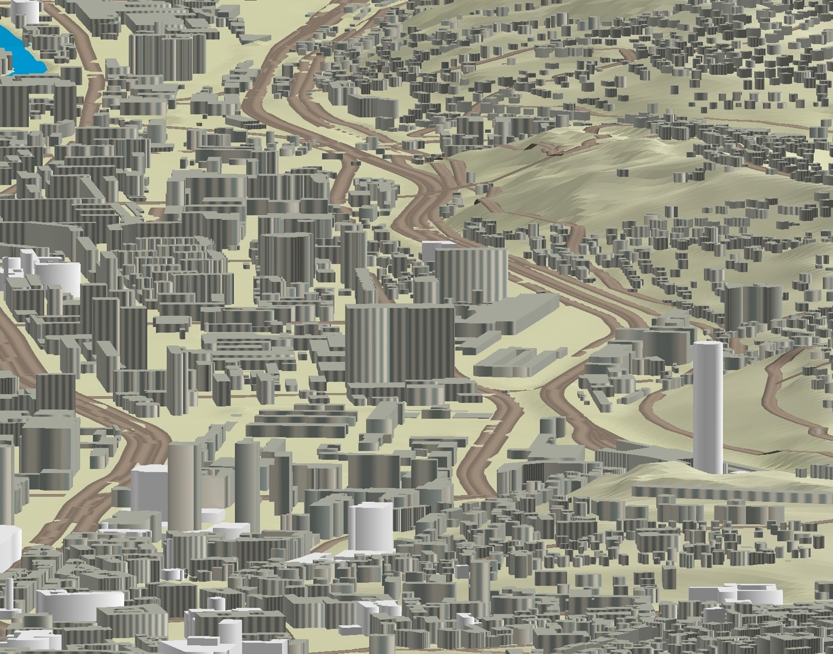
Graphic overview for 3D objects of Urban Areas of Sarajevo Canton
3D objects of Urban Areas of Sarajevo Canton The Sarajevo Canton Development Planning Institute, through the project "Updating the Basic Topographic Map 1:5,000 of Urban Areas of the … Bosnia and Herzegovina None Sarajevo Canton Development Planning Institute restricted
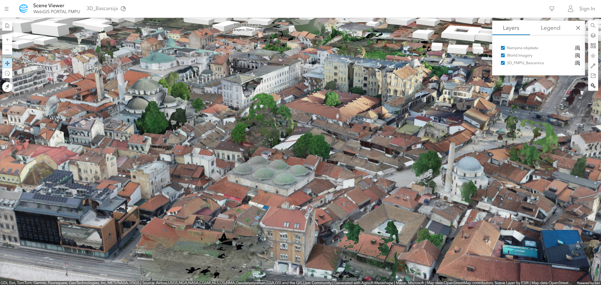
Graphic overview for A snapshot of the current state of Baščaršija
A snapshot of the current state of Baščaršija Updated digital basis from May - June 2023 for the development of the Regulatory Plan of the Sarajevo Bazaar. Bosnia and Herzegovina None Federal Ministry of Physical Planning other Restrictions
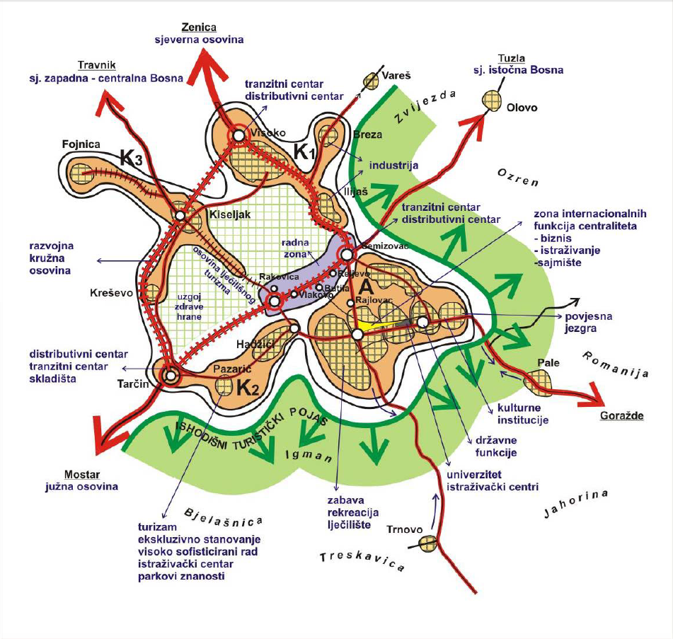
Graphic overview for Study of the centrality function of the state capital - Sarajevo
Study of the centrality function of the state capital - Sarajevo The main task of the Study on the Function of Centrality of the Capital City was to investigate the urban … Bosnia and Herzegovina Oct. 1, 2005 Ministry of Physical Planning and Environmental Protection of Sarajevo Canton other Restrictions
Showing 15 of 15 records (filtered)