Showing 10 of 91 records (filtered)
Applied filters: Keywords: NO × Clear all filters
« first previous Page 3 of 9. next last »
Preview
Title
Abstract
Country
INSPIRE Theme
Publication Date
Responsible Party
Topic Categories
Keywords
Access Constraints
Actions
Graphic overview for Global map of the Republic of Macedonia in scale 1:1000000 raster (Land cover), metadata of download service, WCS
Global map of the Republic of Macedonia in scale 1:1000000 raster (Land cover), metadata of download service, WCS Dataset discovery service - Global map of the Republic of Macedonia at a scale of 1:1000000 raster (Land cover). The … North Macedonia Not specified Jan. 1, 2015 Agency for Real Estate Cadastre Not specified otherRestrictions
Graphic overview for Gravimetric map of the Republic of North Macedonia (Bougeot anomalies) 1:500,000
Gravimetric map of the Republic of North Macedonia (Bougeot anomalies) 1:500,000 Gravimetric map of the Republic of North Macedonia (Bougeot anomalies) 1:500,000 North Macedonia Not specified Jan. 1, 1966 Geological Survey of the Republic of North Macedonia otherRestrictions
Graphic overview for High-precision leveling network in the Republic of North Macedonia, dataset metadata
High-precision leveling network in the Republic of North Macedonia, dataset metadata The high-precision leveling network is a unique network that covers the entire territory of the Republic of North Macedonia and … North Macedonia Not specified Jan. 1, 1957 Agency for Real Estate Cadastre otherRestrictions
Graphic overview for Hydrography of the Republic of North Macedonia TC 200-2017, metadata for dataset
Hydrography of the Republic of North Macedonia TC 200-2017, metadata for dataset The content of the dataset "Hydrography of the Republic of North Macedonia TC 200-2017" has been updated from the vector … North Macedonia Not specified Dec. 31, 2024 Agency for Real Estate Cadastre otherRestrictions
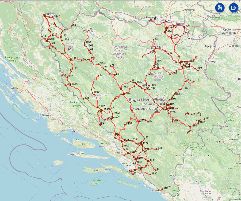
Graphic overview for Intersections on the main road network of the Federation of Bosnia and Herzegovina
Intersections on the main road network of the Federation of Bosnia and Herzegovina A road junction is a point spatial object that marks the junction of two or more road sections or another … Bosnia and Herzegovina Jan. 1, 2025 PC Roads of the Federation of Bosnia and Herzegovina doo Sarajevo otherRestrictions
Graphic overview for Land Classification in the Republic of North Macedonia (TK 200-2004)
Land Classification in the Republic of North Macedonia (TK 200-2004) The land classification package shows the use of the land surface as: arable land, vineyards, orchards, rice fields, meadows, forests, … North Macedonia Not specified July 1, 2018 Agency for Real Estate Cadastre otherRestrictions
Graphic overview for Land Classification in the Republic of North Macedonia TC 200-2017, metadata for the dataset
Land Classification in the Republic of North Macedonia TC 200-2017, metadata for the dataset The content of the dataset for "Land Classification of the Republic of North Macedonia TC 200-2017" has been updated from … North Macedonia Not specified Dec. 31, 2024 Agency for Real Estate Cadastre otherRestrictions
Graphic overview for Land Classification in the Republic of North Macedonia, metadata of the dataset - INSPIRE
Land Classification in the Republic of North Macedonia, metadata of the dataset - INSPIRE The land classification dataset of the Republic of North Macedonia covers land cover such as arable land, vineyards, forests, pastures, … North Macedonia Not specified Nov. 27, 2019 Agency for Real Estate Cadastre otherRestrictions
Graphic overview for Land Classification in the Republic of North Macedonia, metadata of the review service, WMS
Land Classification in the Republic of North Macedonia, metadata of the review service, WMS Service for viewing the land classification data collection - WMS of the Republic of North Macedonia from the TK 25 … North Macedonia Not specified Nov. 27, 2019 Agency for Real Estate Cadastre Not specified otherRestrictions
Graphic overview for LIDAR 3D laser scanning of the terrain (phase 1) - digital surface model (DSM)
LIDAR 3D laser scanning of the terrain (phase 1) - digital surface model (DSM) Digital Surface Model - DSM (Digital Surface Model) is a mathematically defined continuous surface in digital form that represents the … North Macedonia Not specified Dec. 1, 2020 Agency for Real Estate Cadastre otherRestrictions
Showing 10 of 91 records (filtered)
« first previous Page 3 of 9. next last »