Showing 10 of 91 records (filtered)
Applied filters: Keywords: NO × Clear all filters
« first previous Page 8 of 9. next last »
Preview
Title
Abstract
Country
INSPIRE Theme
Publication Date
Responsible Party
Topic Categories
Keywords
Access Constraints
Actions
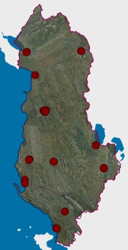
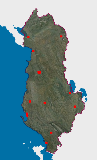
Graphic overview for Environmental Monitoring Infrastructure, Urban Noise Monitoring Network 2019
Environmental Monitoring Infrastructure, Urban Noise Monitoring Network 2019 The network contains all noise monitoring stations for several cities in the country. The data are in accordance with the … Albania July 10, 2020 National Environmental Agency copyright
Graphic overview for Environmental monitoring infrastructure, Urban noise monitoring network 2023
Environmental monitoring infrastructure, Urban noise monitoring network 2023 The network contains all noise monitoring stations for several cities in the country. The data conform to the standard "State … Albania Dec. 3, 2024 National Environmental Agency copyright
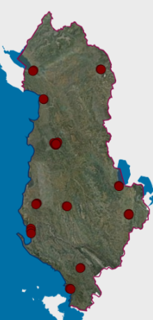
Graphic overview for Environmental Monitoring Infrastructure, Urban Noise Pollution Monitoring Network 2022
Environmental Monitoring Infrastructure, Urban Noise Pollution Monitoring Network 2022 Location of noise pollution monitoring stations for several cities in the Republic of Albania. The data are in accordance with … Albania Jan. 10, 2024 National Environmental Agency copyright
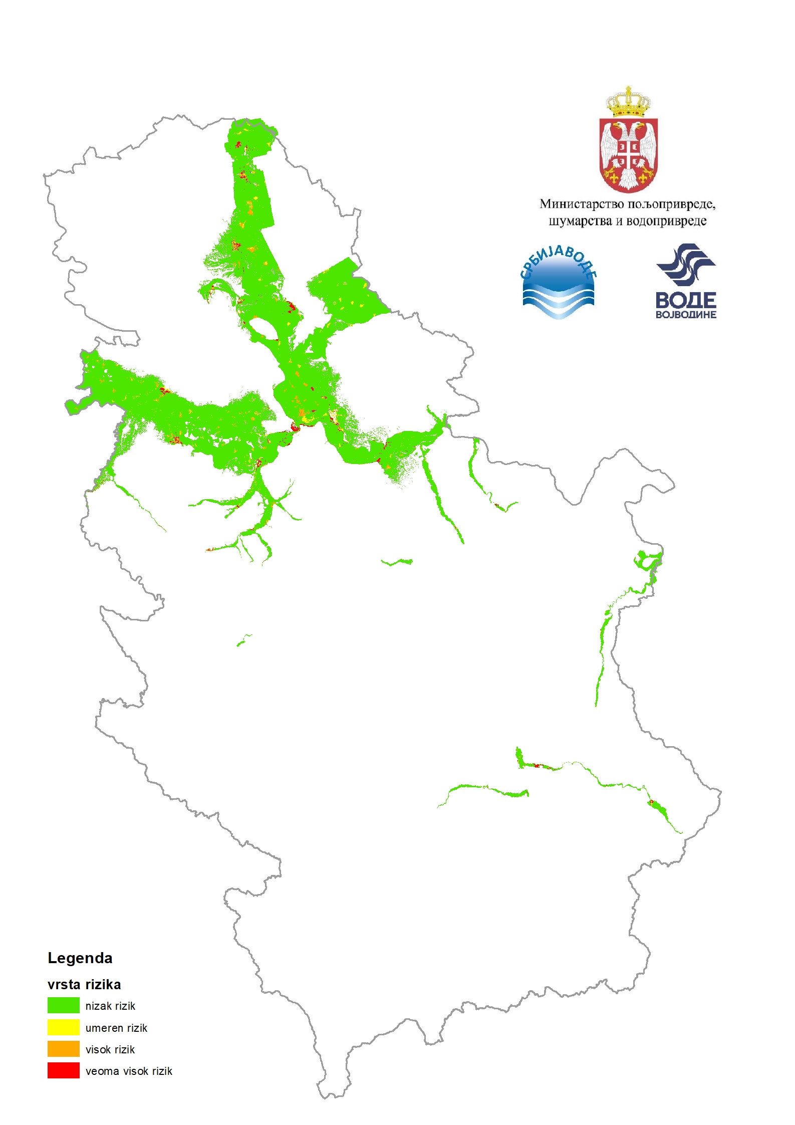
Graphic overview for Flood risk maps
Flood risk maps Flood risk maps are created for each significant flood area determined by the preliminary flood risk assessment. For the purposes … Serbia None PWMC Srbijavode copyright
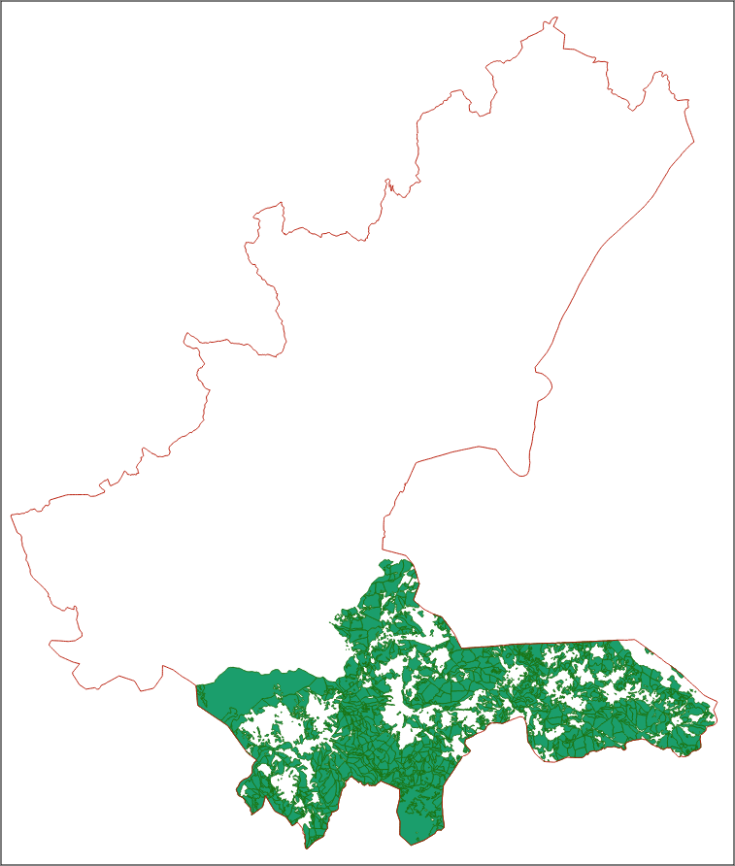
Graphic overview for Forest management area "Trnovsko"
Forest management area "Trnovsko" The forest management plan is the basic planning framework for forest management based on the principle of sustainable production and … Bosnia and Herzegovina Jan. 1, 2025 Ministry of Economy of Sarajevo Canton copyright
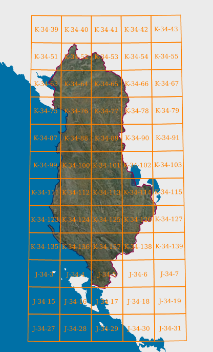
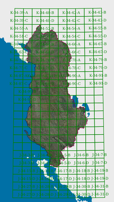
Graphic overview for Map Nomenclature 1:100000
Map Nomenclature 1:100000 These are the data generated by the digitalization of the 100,000 scale topographic map frame, which have been scanned, georeferenced … Albania Oct. 13, 2020 State Authority for Geospatial Information copyright
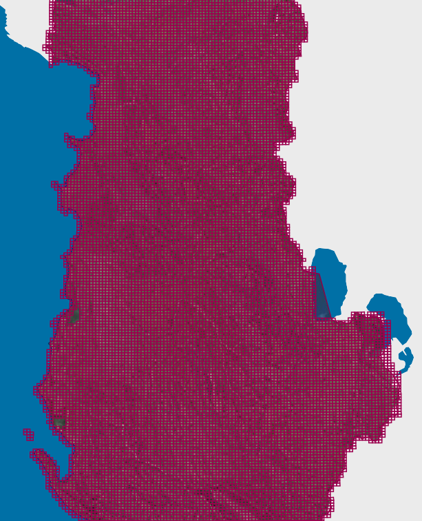
Graphic overview for Map Nomenclature 1:2500
Map Nomenclature 1:2500 These are the data created by the digitalization of the 2500 scale topographic map frame, which have been scanned, georeferenced … Albania Oct. 13, 2020 State Authority for Geospatial Information copyright
Graphic overview for Map Nomenclature 1:25000
Map Nomenclature 1:25000 These are the data generated by the digitalization of the 1:25000 scale topographic map frame, which have been scanned, georeferenced … Albania Oct. 13, 2020 State Authority for Geospatial Information copyright
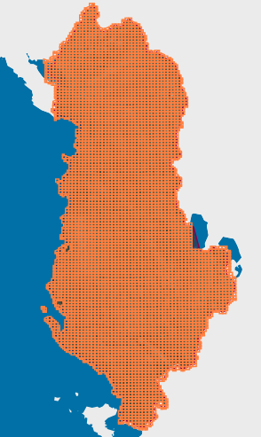
Graphic overview for Map Nomenclature 1:5000
Map Nomenclature 1:5000 These are the data generated by the digitalization of the 5000 scale topographic map frame, which have been scanned, georeferenced … Albania Oct. 13, 2020 State Authority for Geospatial Information copyright
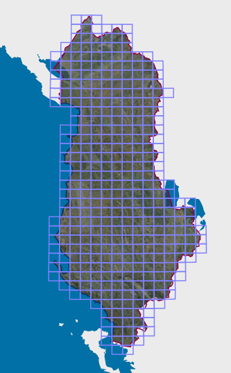
Graphic overview for Map Nomenclature 1:50000
Map Nomenclature 1:50000 These are the data generated by the digitalization of the 50,000 scale topographic map frame, which have been scanned, georeferenced … Albania Oct. 13, 2020 State Authority for Geospatial Information copyright
Showing 10 of 91 records (filtered)
« first previous Page 8 of 9. next last »