Showing 10 of 16 records (filtered)
Applied filters: Responsible Party: State Authority for Geospatial Information × Keywords: Orthoimaging × Clear all filters
Page 1 of 2. next last »
Preview
Title
Abstract
Country
INSPIRE Theme
Publication Date
Responsible Party
Topic Categories
Keywords
Access Constraints
Actions
🖼️
Coastal monitoring (UAV) Photography of the coastline of the Republic of Albania with "UAV" technology. This data set will be used by ASIG … Albania Not specified July 22, 2022 State Authority for Geospatial Information (ASIG) Not specified copyright
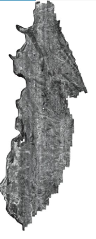
Graphic overview for Orthoimagery Coverage 2024-2026 (UAV)
Orthoimagery Coverage 2024-2026 (UAV) Orthoimagery coverage of the layer that includes the photography of the areas: 1-Dhermi photography, date 14-15 October 2024. 2- Kavaja … Albania Jan. 5, 2026 State Authority for Geospatial Information (ASIG) otherRestrictions
🖼️
Orthoimaging The data of orthophotos 2019 (UAV), orthophoto 2018 (8 cm), orthophoto 2015 (8 cm), orthophoto CIR 2015 (8cm), orthophoto 2015 … Albania Not specified None State Authority for Geospatial Information (ASIG) Not specified copyright
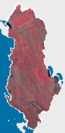
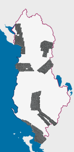
Graphic overview for Orthophoto CIR 2015 (20 cm)
Orthophoto CIR 2015 (20 cm) Orthophoto CIR period 2015-2017 with a resolution of 20 cm per pixel which covers the territory of the Republic of … Albania Jan. 1, 2017 State Authority for Geospatial Information (ASIG) copyright
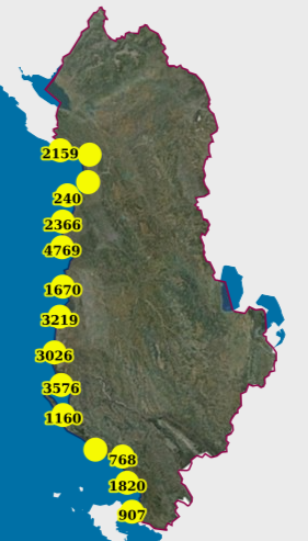
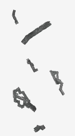
Graphic overview for Monitoring, Coastal (UAV) (2019)
Monitoring, Coastal (UAV) (2019) Photography of the coastline of the Republic of Albania with "UAV" technology for the year 2019. This dataset will be … Albania Feb. 13, 2024 State Authority for Geospatial Information copyright
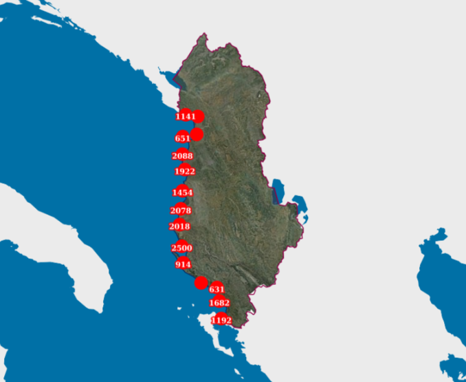
Graphic overview for Monitoring, Coastal (UAV) (2022)
Monitoring, Coastal (UAV) (2022) Photography of the coastline of the Republic of Albania with "UAV" technology. This data set will be used by ASIG … Albania July 22, 2022 State Authority for Geospatial Information copyright
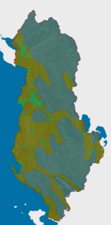
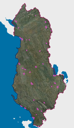
Graphic overview for Orthoimagery overlay 2015
Orthoimagery overlay 2015 Information on coverage areas and technical specifications of orthoimagery for the years 2015-2017. The data are in accordance with the … Albania March 16, 2018 State Authority for Geospatial Information copyright
Graphic overview for Orthophoto 1994
Orthophoto 1994 The 1994 orthophoto, for the Western Lowlands of Albania, covers an area of approximately 4591 km2. This orthophoto was produced … Albania Jan. 20, 2020 State Authority for Geospatial Information copyright
Graphic overview for Orthophoto 1999
Orthophoto 1999 The orthophoto of the Year 1999 covers an area of approximately 5989 km2. This orthophoto was produced in GEOTIFF format … Albania June 9, 2021 State Authority for Geospatial Information copyright
Graphic overview for Orthophoto 2001
Orthophoto 2001 The orthophoto of the Year 2001 covers an area of approximately 3373 km2. This orthophoto was produced in GEOTIFF format … Albania June 9, 2021 State Authority for Geospatial Information copyright
Showing 10 of 16 records (filtered)
Page 1 of 2. next last »