Showing 10 of 10 records (filtered)
Applied filters: Keywords: Relief × Clear all filters
Preview
Title
Abstract
Country
INSPIRE Theme
Publication Date
Responsible Party
Topic Categories
Keywords
Access Constraints
Actions
Graphic overview for Global map of the Republic of Macedonia at a scale of 1:1000000 raster (Land Use), metadata for the dataset
Global map of the Republic of Macedonia at a scale of 1:1000000 raster (Land Use), metadata for the dataset The land use data includes 9 categories of land use in the Republic of North Macedonia. North Macedonia Not specified March 8, 2006 Agency for Real Estate Cadastre otherRestrictions
Graphic overview for Global map of the Republic of Macedonia at a scale of 1:1000000 raster (Relief), dataset metadata
Global map of the Republic of Macedonia at a scale of 1:1000000 raster (Relief), dataset metadata Raster relief data is organized into accessible rows and columns with pixel dimensions of 30” by 30”. This type of … North Macedonia March 8, 2006 Agency for Real Estate Cadastre otherRestrictions
Graphic overview for Topographic map from the Military Geographical Institute Belgrade (VGI) at a scale of 1:200000 (TK200), metadata for the dataset
Topographic map from the Military Geographical Institute Belgrade (VGI) at a scale of 1:200000 (TK200), metadata for the dataset The topographic map at a scale of 1:200,000 was produced by the VGI Belgrade in 1973. The territory of the … North Macedonia Not specified Jan. 1, 1973 Agency for Real Estate Cadastre otherRestrictions
Graphic overview for Topographic map from the Military Geographical Institute Belgrade (VGI) at a scale of 1:25000 (TK25), metadata for the dataset
Topographic map from the Military Geographical Institute Belgrade (VGI) at a scale of 1:25000 (TK25), metadata for the dataset The topographic map in scale 1: 25000 was produced by VGI Belgrade in 1978. The territory of the Republic of … North Macedonia Not specified Jan. 1, 1978 Agency for Real Estate Cadastre otherRestrictions
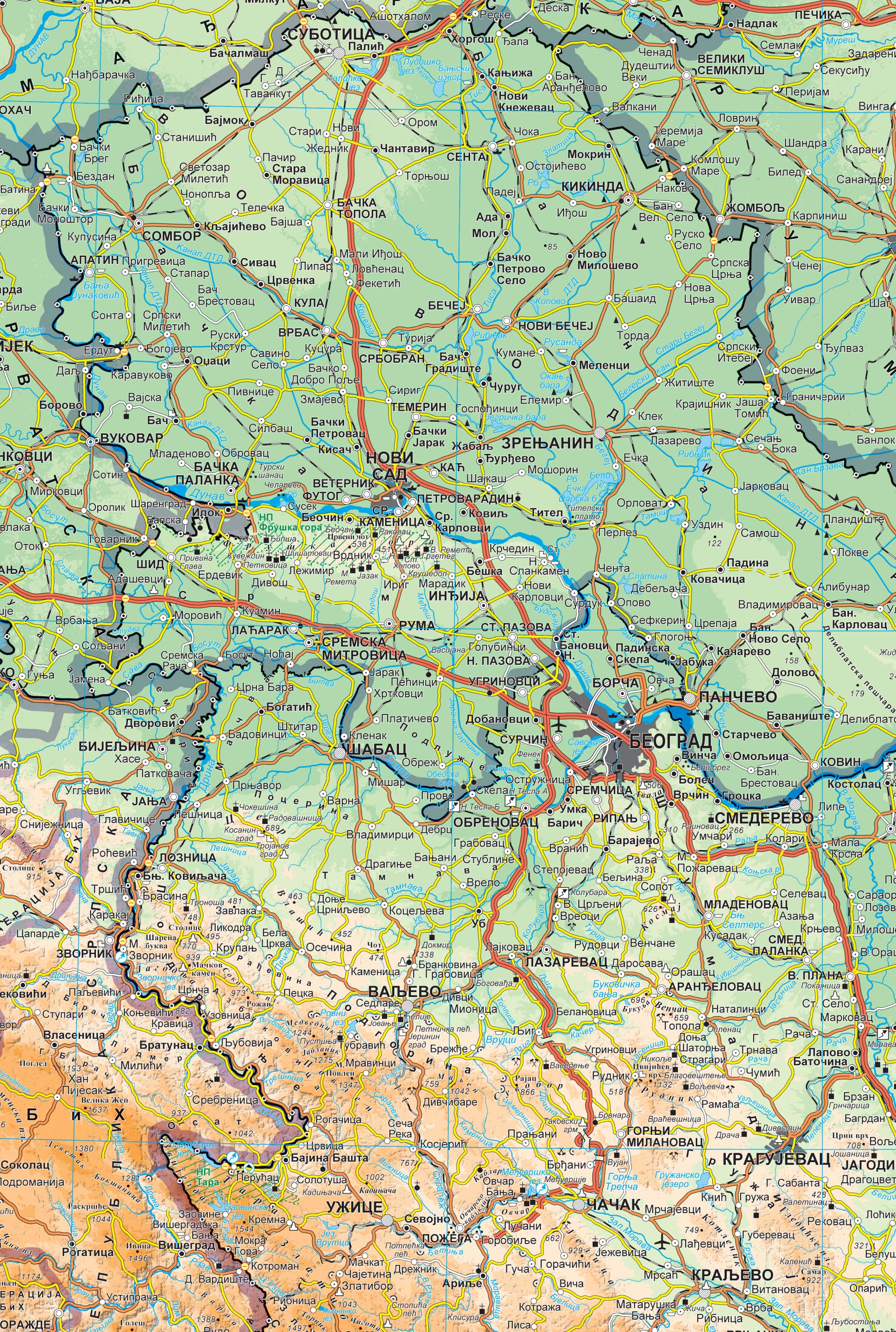
Graphic overview for Geographical-tourist map of Serbia at a scale of 1 : 500 000
Geographical-tourist map of Serbia at a scale of 1 : 500 000 Geographic and tourist map of Serbia at a scale of 1 : 500 000 is a digital geographic map based … Serbia Sept. 24, 2020 Republic Geodetic Authority otherRestrictions
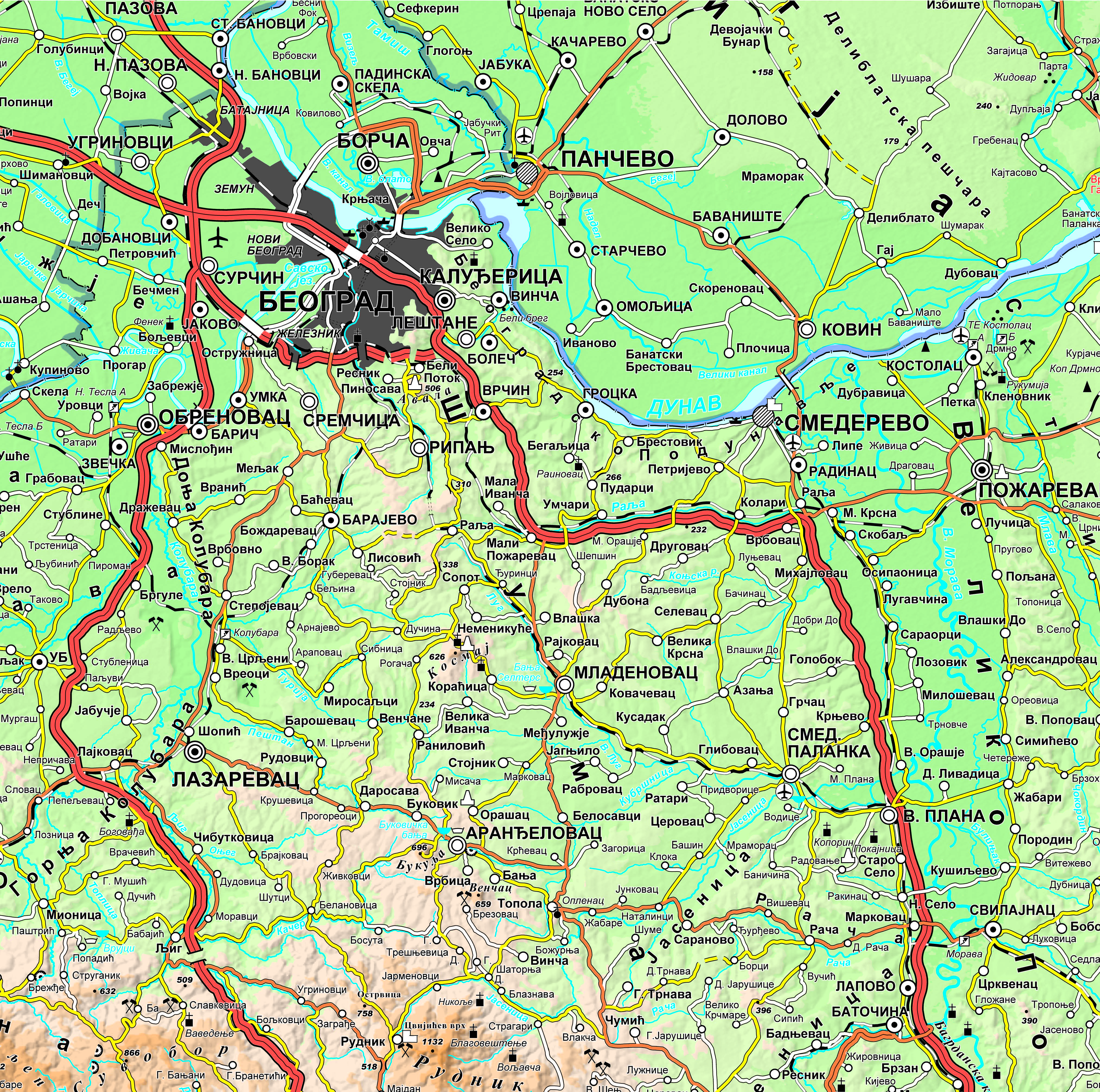
Graphic overview for Geographical-tourist map of Serbia at a scale of 1: 300 000
Geographical-tourist map of Serbia at a scale of 1: 300 000 Geographic and tourist map of Serbia at a scale of 1: 300 000 is a digital geographic map based on … Serbia Sept. 24, 2020 Republic Geodetic Authority otherRestrictions
Graphic overview for Geographical map of Serbia at a scale of 1 : 1 000 000
Geographical map of Serbia at a scale of 1 : 1 000 000 Geographical map of Serbia at a scale of 1 : 1 000 000 is a digital geographic map based on … Serbia Sept. 24, 2020 Republic Geodetic Authority otherRestrictions
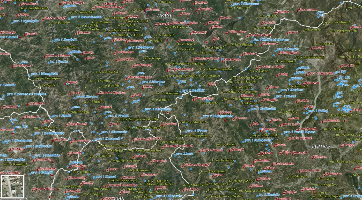
Graphic overview for Geographical Names 2018
Geographical Names 2018 Geographical names consist of three groups of geospatial data. Geographical names of relief (toponymy), hydrography, and villages/cities. Geographical names for … Albania July 23, 2018 State Authority for Geospatial Information copyright
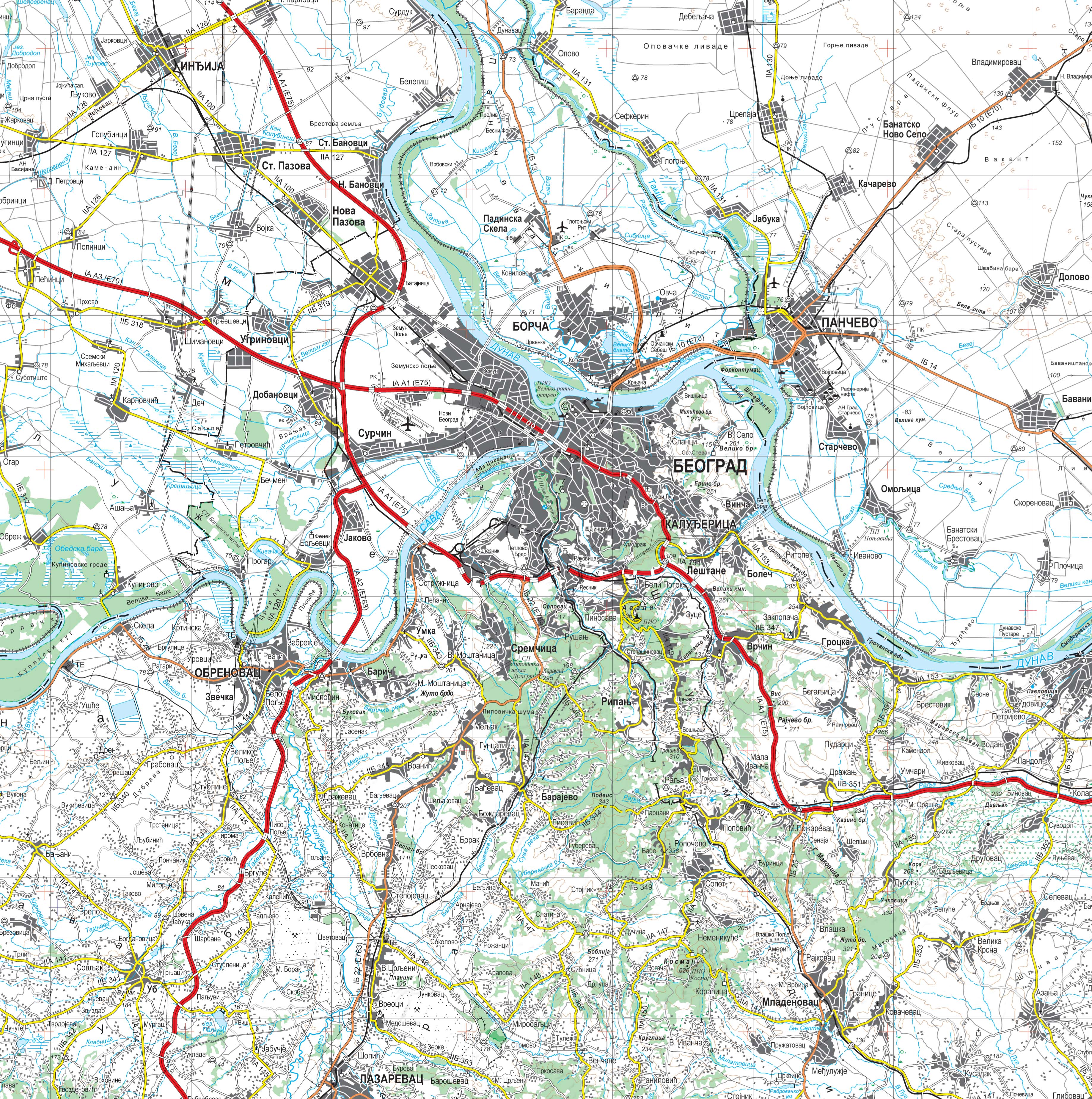
Graphic overview for Topographic map at a scale of 1 : 250 000
Topographic map at a scale of 1 : 250 000 Topographic map at a scale of 1 : 250 000 is a digital topographic map based on the cartographic database … Serbia Sept. 30, 2020 Republic Geodetic Authority otherRestrictions
Graphic overview for Topographic maps - Topographic data set
Topographic maps - Topographic data set Cartographic Base 1:20 000 is a set of entities that have modeled natural and artificial objects on the earth's surface, … Serbia Aug. 20, 2016 Republic Geodetic Authority otherRestrictions
Showing 10 of 10 records (filtered)