Metadata
Showing
4
of
4
records
(filtered)
Applied filters:
Keywords: Risk
×
Clear all filters
| Preview |
Title
|
Abstract
|
Country
|
INSPIRE Theme
|
Publication Date
|
Responsible Party
|
Topic Categories
|
Keywords
|
Access Constraints
|
Actions |
|---|---|---|---|---|---|---|---|---|---|---|

|
Fire index map, dataset metadata | The data was created by the Crisis Management Center based on meteorological data and forest inventory data from the PE … | North Macedonia | Jan. 1, 2012 | Crisis Management Center | otherRestrictions |
|
|||

|
Hotspots, dataset metadata | The hotspot dataset is obtained from two satellites: (MODIS and VIRS). The hotspot data is obtained at a time interval … | North Macedonia | Not specified | Jan. 1, 2012 | Crisis Management Center | otherRestrictions |
|
||
|
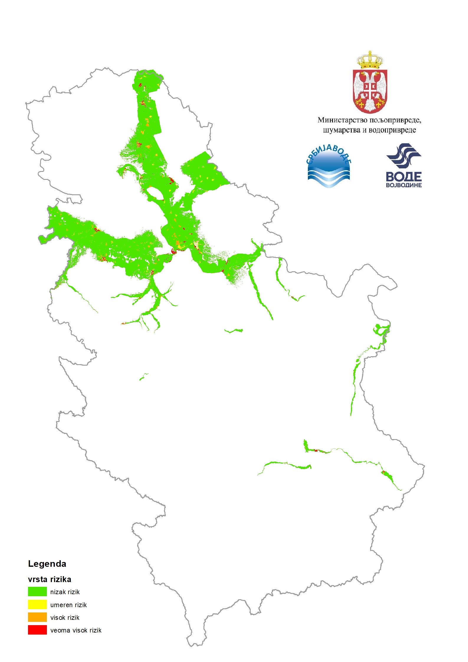
Flood risk maps | Flood risk maps are created for each significant flood area determined by the preliminary flood risk assessment. For the purposes … | Serbia | None | PWMC Srbijavode | copyright |
|
|||
|
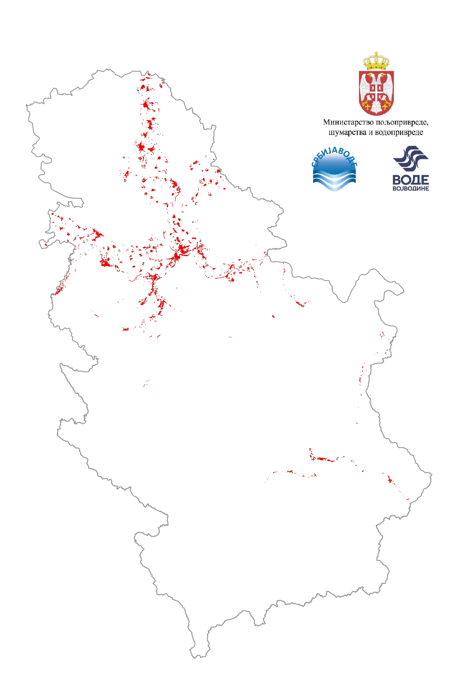
Flood risk maps / Total risk | Flood risk maps are created for each significant flood area determined by the preliminary flood risk assessment. For the purposes … | Serbia | None | PWMC Srbijavode | copyright |
|
Showing
4
of
4
records