Metadata
Showing
2
of
2
records
(filtered)
Applied filters:
Keywords: SCALE 1:500
×
Clear all filters
| Preview |
Title
|
Abstract
|
Country
|
INSPIRE Theme
|
Publication Date
|
Responsible Party
|
Topic Categories
|
Keywords
|
Access Constraints
|
Actions |
|---|---|---|---|---|---|---|---|---|---|---|

|
Topographic map of the Republic of North Macedonia at a scale of 1:50000 (TK 50 - 2004) - raster, metadata for the dataset | The topographic maps at a scale of 1:50,000 were produced in the period 2012 - 2015 and are in raster … | North Macedonia | Not specified | Jan. 1, 2015 | Agency for Real Estate Cadastre | otherRestrictions |
|
||
|
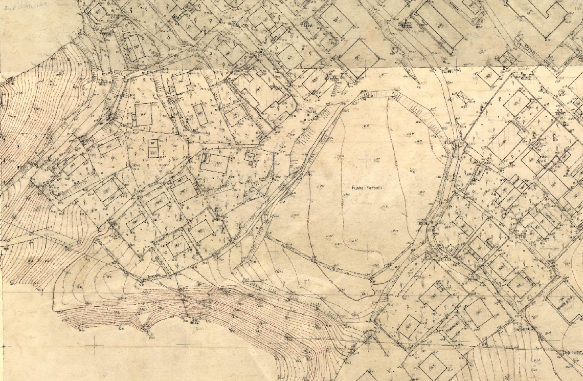
Base Map Image, Cities (AQTN) | The 1:500 scale plates were created using the tachymetric method by the former Geology-Geodesy enterprise. The main task of this … | Albania | Jan. 1, 2018 | Central Technical Archive of Construction | copyright |
|
Showing
2
of
2
records