Showing 6 of 6 records (filtered)
Applied filters: Keywords: Soil × Clear all filters
Preview
Title
Abstract
Country
INSPIRE Theme
Publication Date
Responsible Party
Topic Categories
Keywords
Access Constraints
Actions
🖼️
QTTB, Land use This information was obtained from the Agricultural Technology Transfer Center (ATTC). The data does not conform to the State Standard … Albania Not specified April 27, 2020 Agricultural Technology Transfer Center (ATTC) Not specified copyright
Graphic overview for Soil map of the Republic of Macedonia - dataset metadata
Soil map of the Republic of Macedonia - dataset metadata Soil map of the Republic of Macedonia at a scale of 1:50000, created based on field research and laboratory analyses … North Macedonia Not specified Dec. 9, 2016 Ministry of Agriculture, Forestry and Water Management otherRestrictions
Graphic overview for Study "Inventory of the state and updating of data on agricultural areas of the Sarajevo Canton"
Study "Inventory of the state and updating of data on agricultural areas of the Sarajevo Canton" The subject of the Study is to determine the current state of land cover in the Sarajevo Canton by land … Bosnia and Herzegovina Feb. 1, 2024 Ministry of Municipal Economy, Infrastructure, Spatial Planning, Construction and Environmental Protection of Sarajevo Canton otherRestrictions
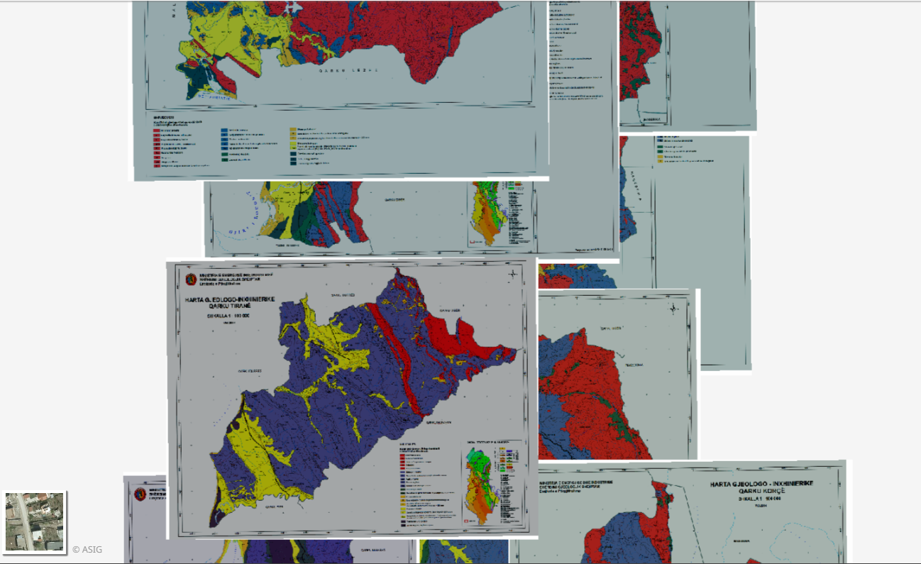
Graphic overview for Engineering Geology, Thematic Maps
Engineering Geology, Thematic Maps Geological-engineering maps of the 12 Regions in the Republic of Albania constructed according to geological maps of 1: 100,000 scale … Albania March 17, 2015 Albanian Geological Survey copyright
Graphic overview for Generic Land Cover map
Generic Land Cover map The map of the basic land cover is a presentation of the classified content of biophysical phenomena on the Earth's … Serbia None Republic Geodetic Authority otherRestrictions
🖼️
Soil Map of Albania Soil classification and properties Albania Dec. 15, 2020 ASIG none
Showing 6 of 6 records (filtered)