Showing 10 of 22 records (filtered)
Applied filters: Keywords: Topographic × Clear all filters
Page 1 of 2. next last »
Preview
Title
Abstract
Country
INSPIRE Theme
Publication Date
Responsible Party
Topic Categories
Keywords
Access Constraints
Actions
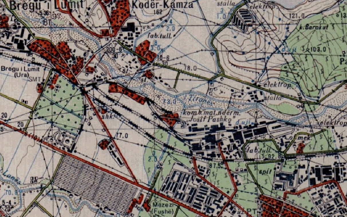
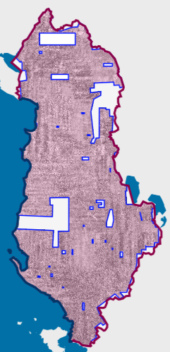
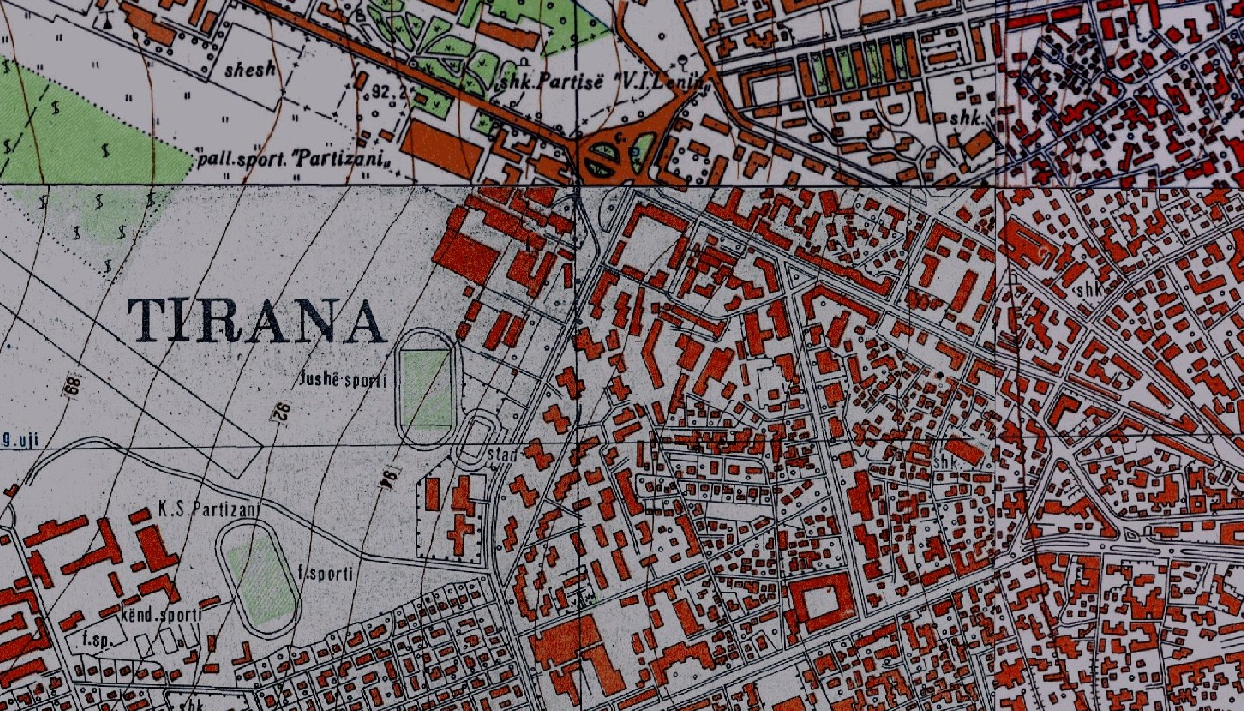
Graphic overview for Base Map, Topographic Map 1:10 000
Base Map, Topographic Map 1:10 000 Topographic map of scale 1:10000 in Image (raster) format created by the Institute of Geography and Military Infrastructure (former ITU). … Albania Jan. 1, 2015 Institute of Geography and Military Infrastructure (formerly ITU) otherRestrictions
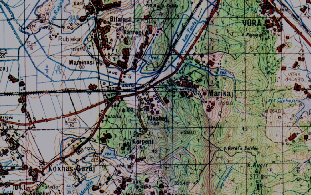
Graphic overview for Base Map, Topographic Map 1:25 000
Base Map, Topographic Map 1:25 000 Topographic maps of scale 1:25 000 were published by the Geographical Institute and Military Infrastructure (former ITU), in the years … Albania Jan. 1, 2015 Institute of Geography and Military Infrastructure (formerly ITU) otherRestrictions
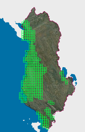
Graphic overview for Base Map, Topographic Map 1:50 000
Base Map, Topographic Map 1:50 000 Topographic maps of scale 1:50000 were published by the Institute of Geography and Military Infrastructure (formerly ITU), in the period … Albania Jan. 1, 2015 Institute of Geography and Military Infrastructure (formerly ITU) otherRestrictions
🖼️
Base Maps, Topographic Maps Topographic Maps are in Image (raster) format created by the Geographical and Military Infrastructure Institute (formerly ITU) and AQTN. The … Albania Not specified None Institute of Geography and Military Infrastructure (formerly ITU) Not specified copyright
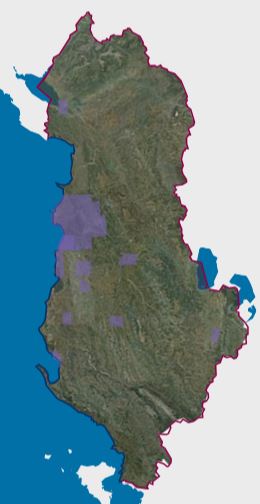
Graphic overview for Map Nomenclature 1:10000
Map Nomenclature 1:10000 These are the data created by the digitalization of the 1:10000 scale topographic map frame, which are scanned, georeferenced and … Albania Oct. 13, 2020 State Authority for Geospatial Information (ASIG) copyright
Graphic overview for Orthoimagery Coverage (Year 1976-1986)
Orthoimagery Coverage (Year 1976-1986) Orthoimagery overlay for the Orthophoto layer of 1976-1986. The data are in accordance with the standard with the Council of … Albania Jan. 13, 2025 State Authority for Geospatial Information (ASIG) copyright
Graphic overview for Orthoimagery Coverage (Year 1976-1986) 1:25 000
Orthoimagery Coverage (Year 1976-1986) 1:25 000 Orthoimagery overlay for the Orthophoto layer of 1976-1986 1:25 000. The data are in accordance with the standard with the … Albania Jan. 26, 2026 State Authority for Geospatial Information (ASIG) copyright
Graphic overview for Topographic map from the Military Geographical Institute Belgrade (VGI) at a scale of 1:100000 (TK100), metadata for the dataset
Topographic map from the Military Geographical Institute Belgrade (VGI) at a scale of 1:100000 (TK100), metadata for the dataset The topographic map at a scale of 1:100,000 was produced by the VGI Belgrade in the period 1970-1987. The territory … North Macedonia Not specified Jan. 1, 1970 Agency for Real Estate Cadastre otherRestrictions
Graphic overview for Topographic map from the Military Geographical Institute Belgrade (VGI) at a scale of 1:200000 (TK200), metadata for the dataset
Topographic map from the Military Geographical Institute Belgrade (VGI) at a scale of 1:200000 (TK200), metadata for the dataset The topographic map at a scale of 1:200,000 was produced by the VGI Belgrade in 1973. The territory of the … North Macedonia Not specified Jan. 1, 1973 Agency for Real Estate Cadastre otherRestrictions
Graphic overview for Topographic map from the Military Geographical Institute Belgrade (VGI) at a scale of 1:25000 (TK25), metadata for the dataset
Topographic map from the Military Geographical Institute Belgrade (VGI) at a scale of 1:25000 (TK25), metadata for the dataset The topographic map in scale 1: 25000 was produced by VGI Belgrade in 1978. The territory of the Republic of … North Macedonia Not specified Jan. 1, 1978 Agency for Real Estate Cadastre otherRestrictions
Showing 10 of 22 records (filtered)
Page 1 of 2. next last »