Showing 15 of 25 records (filtered)
Applied filters: Keywords: administrative × Clear all filters
« first previous Page 2 of 2.
Preview
Title
Abstract
Country
INSPIRE Theme
Publication Date
Responsible Party
Topic Categories
Keywords
Access Constraints
Actions
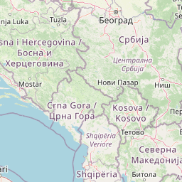
Graphic overview for Topographic map from the Military Geographical Institute Belgrade (VGI) at a scale of 1:200000 (TK200), metadata for the dataset
Topographic map from the Military Geographical Institute Belgrade (VGI) at a scale of 1:200000 (TK200), metadata for the dataset The topographic map at a scale of 1:200,000 was produced by the VGI Belgrade in 1973. The territory of the … North Macedonia Not specified Jan. 1, 1973 Agency for Real Estate Cadastre otherRestrictions
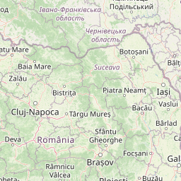
Graphic overview for Topographic map from the Military Geographical Institute Belgrade (VGI) at a scale of 1:50000 (TK50), metadata for the dataset
Topographic map from the Military Geographical Institute Belgrade (VGI) at a scale of 1:50000 (TK50), metadata for the dataset The topographic map at a scale of 1:50000 was produced by the VGI Belgrade in 1966. The territory of the … North Macedonia Not specified Jan. 1, 1966 Agency for Real Estate Cadastre otherRestrictions
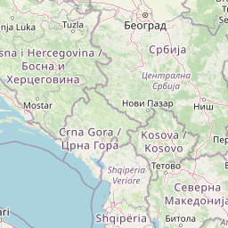
Graphic overview for Topographic map of the Republic of Macedonia at a scale of 1:100000, metadata for the dataset
Topographic map of the Republic of Macedonia at a scale of 1:100000, metadata for the dataset The topographic map at a scale of 1:100,000 in raster format was produced in the period from July 2015 to … North Macedonia Not specified Jan. 1, 2018 Agency for Real Estate Cadastre otherRestrictions
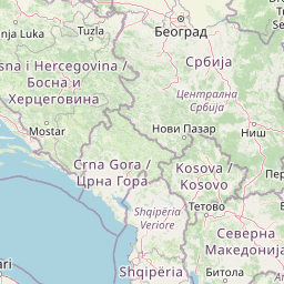
Graphic overview for Topographic map of the Republic of North Macedonia (TK 200-2004) - raster, dataset metadata
Topographic map of the Republic of North Macedonia (TK 200-2004) - raster, dataset metadata The topographic maps at a scale of 1:200000 (TK 200-2004) were produced in the period from January 2017 to June … North Macedonia Not specified Jan. 1, 2018 Agency for Real Estate Cadastre otherRestrictions
Graphic overview for Topographic map of the Republic of North Macedonia at a scale of 1:25000-raster, metadata for the dataset
Topographic map of the Republic of North Macedonia at a scale of 1:25000-raster, metadata for the dataset The topographic map at a scale of 1:25000 was produced in the period from 2004 to 2011 and is in … North Macedonia Not specified Jan. 1, 2012 Agency for Real Estate Cadastre otherRestrictions
Graphic overview for Topographic map of the Republic of North Macedonia TC 200 - 2017 - raster, dataset metadata
Topographic map of the Republic of North Macedonia TC 200 - 2017 - raster, dataset metadata The content of the "Topographic Map in Scale TC 200 - 2017" has been updated from the vector data of … North Macedonia Not specified Dec. 31, 2024 Agency for Real Estate Cadastre otherRestrictions
Graphic overview for Urban plan of the city of Sarajevo for the urban area of Hadžići 1986 - 2015.
Urban plan of the city of Sarajevo for the urban area of Hadžići 1986 - 2015. Urban plans are prepared for urban areas, and their boundaries are defined by the Spatial Plan of the Sarajevo Canton. … Bosnia and Herzegovina Not specified None Sarajevo Canton Development Planning Institute Not specified otherRestrictions
Graphic overview for Urban plan of the Ilijaš urban area 1986 - 2015.
Urban plan of the Ilijaš urban area 1986 - 2015. Urban plans are adopted for urban areas, and the boundaries of the areas for which they are prepared are defined … Bosnia and Herzegovina Not specified None Sarajevo Canton Development Planning Institute Not specified otherRestrictions
Graphic overview for Weapons, Explosives and Dangerous Goods Sections in the Republic of North Macedonia, metadata for the dataset
Weapons, Explosives and Dangerous Goods Sections in the Republic of North Macedonia, metadata for the dataset All sections for weapons, explosives and dangerous substances on the territory of the country are displayed. North Macedonia Feb. 1, 2012 Ministry of Interior otherRestrictions
Graphic overview for OpenStreetMap Places Polygons for Albania
OpenStreetMap Places Polygons for Albania Place boundaries from OpenStreetMap for Albania Albania Oct. 19, 2024 OpenStreetMap Contributors Open Database License
Graphic overview for OpenStreetMap Places Polygons for Bosnia and Herzegovina
OpenStreetMap Places Polygons for Bosnia and Herzegovina Place boundaries from OpenStreetMap for Bosnia and Herzegovina Bosnia and Herzegovina Oct. 19, 2024 OpenStreetMap Contributors Open Database License
Graphic overview for OpenStreetMap Places Polygons for Kosovo
OpenStreetMap Places Polygons for Kosovo Place boundaries from OpenStreetMap for Kosovo Kosovo Oct. 19, 2024 OpenStreetMap Contributors Open Database License
Graphic overview for OpenStreetMap Places Polygons for Montenegro
OpenStreetMap Places Polygons for Montenegro Place boundaries from OpenStreetMap for Montenegro Montenegro Oct. 19, 2024 OpenStreetMap Contributors Open Database License
Graphic overview for OpenStreetMap Places Polygons for North Macedonia
OpenStreetMap Places Polygons for North Macedonia Place boundaries from OpenStreetMap for North Macedonia North Macedonia Oct. 19, 2024 OpenStreetMap Contributors Open Database License
Graphic overview for OpenStreetMap Places Polygons for Serbia
OpenStreetMap Places Polygons for Serbia Place boundaries from OpenStreetMap for Serbia Serbia Oct. 19, 2024 OpenStreetMap Contributors Open Database License
Showing 15 of 25 records (filtered)
« first previous Page 2 of 2.