Showing 10 of 101 records (filtered)
Applied filters: Keywords: age × Clear all filters
« first previous Page 4 of 10. next last »
Preview
Title
Abstract
Country
INSPIRE Theme
Publication Date
Responsible Party
Topic Categories
Keywords
Access Constraints
Actions
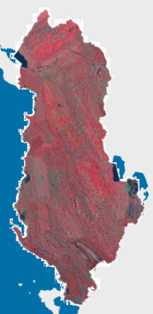
Graphic overview for Orthophoto CIR 2015 (20 cm)
Orthophoto CIR 2015 (20 cm) Orthophoto CIR period 2015-2017 with a resolution of 20 cm per pixel which covers the territory of the Republic of … Albania Jan. 1, 2017 State Authority for Geospatial Information (ASIG) copyright
Graphic overview for Orthophoto in infrared color spectrum 2009 (CIR)
Orthophoto in infrared color spectrum 2009 (CIR) Orthophoto in infrared color spectrum from 2009, for the entire territory of the country. CIR (color infra red) with a … North Macedonia Not specified July 15, 2009 Ministry of Agriculture, Forestry and Water Management otherRestrictions
Graphic overview for Orthophoto in infrared spectrum 2017 (CIR), over the entire territory of RSM, metadata for the dataset
Orthophoto in infrared spectrum 2017 (CIR), over the entire territory of RSM, metadata for the dataset Orthophoto in infrared spectrum from 2017, for the entire territory of the country. CIR (Color Infrared). 0.3m pixel. Owned by … North Macedonia Not specified Aug. 15, 2017 Ministry of Agriculture, Forestry and Water Management otherRestrictions
Graphic overview for Orthophoto of the Republic of Macedonia TK25, dataset metadata
Orthophoto of the Republic of Macedonia TK25, dataset metadata Orthophoto of the Republic of Macedonia made in black and white in 2006. North Macedonia Not specified Jan. 1, 2006 Agency for Real Estate Cadastre otherRestrictions
Graphic overview for Population by five-year age groups, by statistical regions
Population by five-year age groups, by statistical regions Population estimate by five-year age groups by statistical regions according to the Nomenclature of Territorial Units for Statistics - NTES, … North Macedonia Sept. 15, 2009 State Statistical Office otherRestrictions
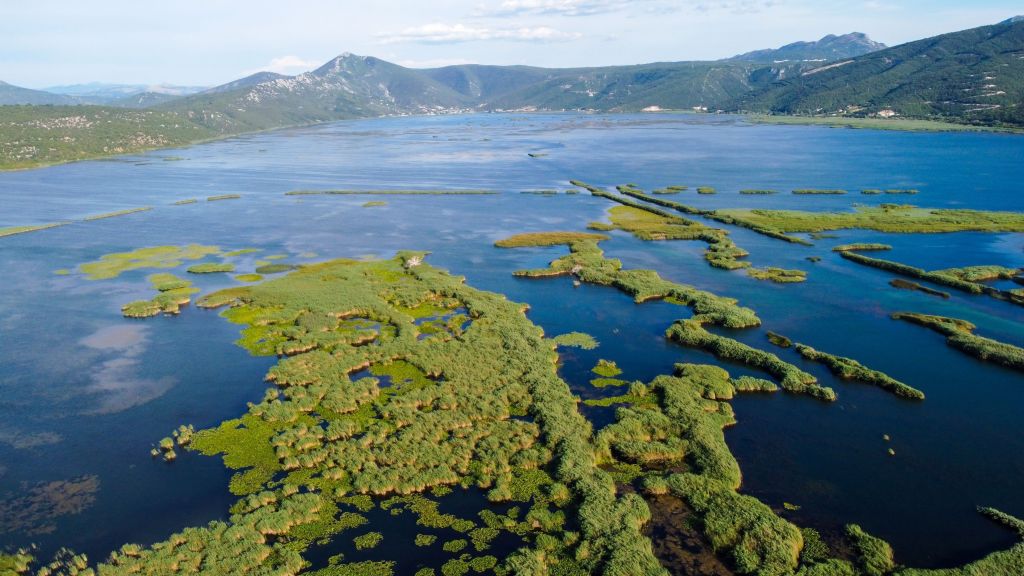
Graphic overview for PPPPO Nature Park Hutovo Blato
PPPPO Nature Park Hutovo Blato The area of the Hutovo Blato Nature Park is a protected area, in 1995 Hutovo Blato was declared a Nature … Bosnia and Herzegovina Oct. 7, 2016 Ministry of Construction and Spatial Planning CNK otherRestrictions
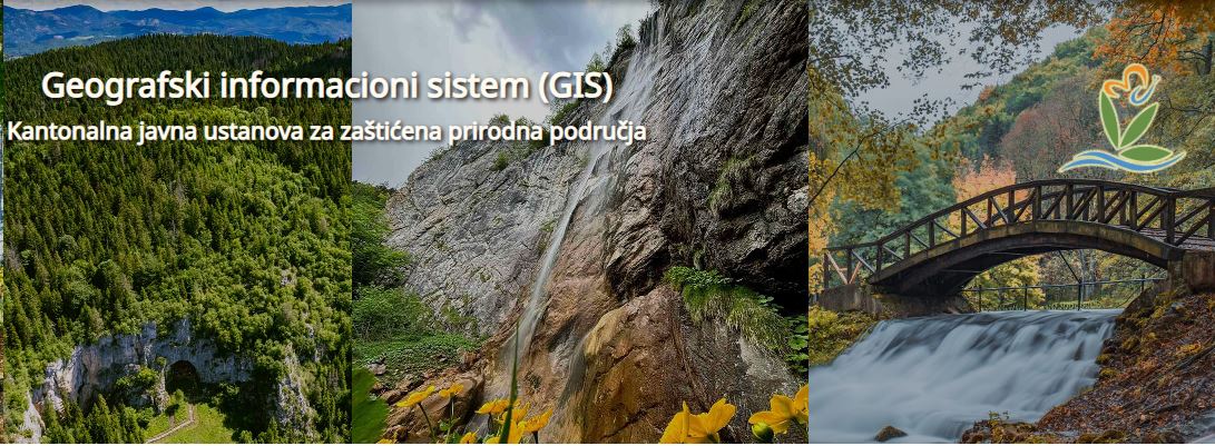
Graphic overview for Protected natural areas of Sarajevo Canton
Protected natural areas of Sarajevo Canton In the Cantonal Public Institution for Protected Natural Areas, the implementation of GIS software began in 2020 when the Gauss … Bosnia and Herzegovina Jan. 1, 2020 Cantonal Public Institution for Protected Natural Areas Sarajevo otherRestrictions
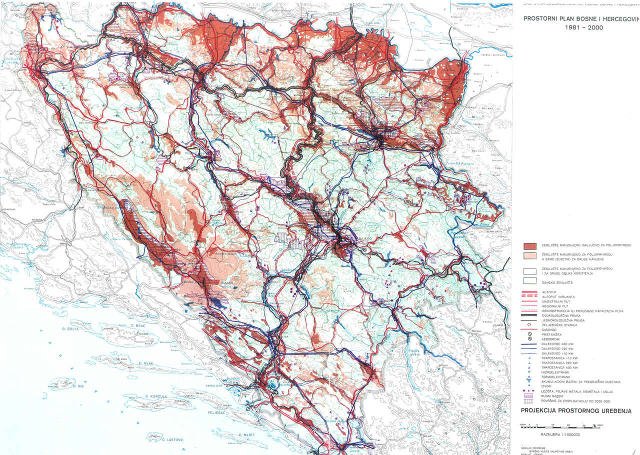
Graphic overview for Spatial plan of Bosnia and Herzegovina for the period from 1981 to 2000
Spatial plan of Bosnia and Herzegovina for the period from 1981 to 2000 The Spatial Plan of Bosnia and Herzegovina for the period from 1981 to 2000 was adopted by the Assembly of … Bosnia and Herzegovina Jan. 1, 1982 Federal Ministry of Physical Planning otherRestrictions
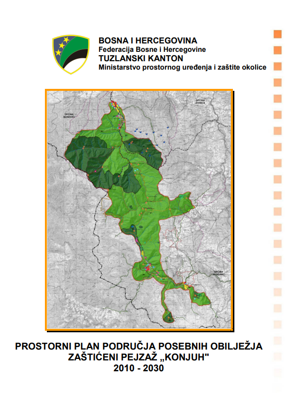
Graphic overview for Spatial plan of the area of special characteristics protected landscape Konjuh for the period 2010-2030.
Spatial plan of the area of special characteristics protected landscape Konjuh for the period 2010-2030. By declaring part of the Konjuh mountain to the category of protected landscape, the preconditions have been created for the … Bosnia and Herzegovina July 17, 2013 Ministry of Physical Planning and Environmental Protection of the Canton of Tuzla otherRestrictions
Graphic overview for St. Andrew's Monastery – Matka
St. Andrew's Monastery – Matka Monastery of St. Andrew – Matka, Municipality of Saraj, for cultural heritage of particular importance, subcategory of great importance North Macedonia April 3, 2018 Ministry of Culture and Tourism otherRestrictions
Showing 10 of 101 records (filtered)
« first previous Page 4 of 10. next last »