Showing 10 of 101 records (filtered)
Applied filters: Keywords: age × Clear all filters
« first previous Page 5 of 10. next last »
Preview
Title
Abstract
Country
INSPIRE Theme
Publication Date
Responsible Party
Topic Categories
Keywords
Access Constraints
Actions
Graphic overview for Study on the protection of cultural and historical heritage for the Spatial Plan of the special feature of the protected landscape "Trebević"
Study on the protection of cultural and historical heritage for the Spatial Plan of the special feature of the protected landscape "Trebević" The study on the protection of cultural and historical heritage for the Spatial Plan of the Special Feature of the … Bosnia and Herzegovina Jan. 1, 2017 Public Institution "Cantonal Institute for the Protection of Cultural, Historical and Natural Heritage Sarajevo" restricted
Graphic overview for Suspected dangerous surface
Suspected dangerous surface A suspected hazardous area (SOPO) refers to an area where there is reasonable suspicion of contamination, based on indirect evidence … Bosnia and Herzegovina None Mine Action Center in Bosnia and Herzegovina otherRestrictions
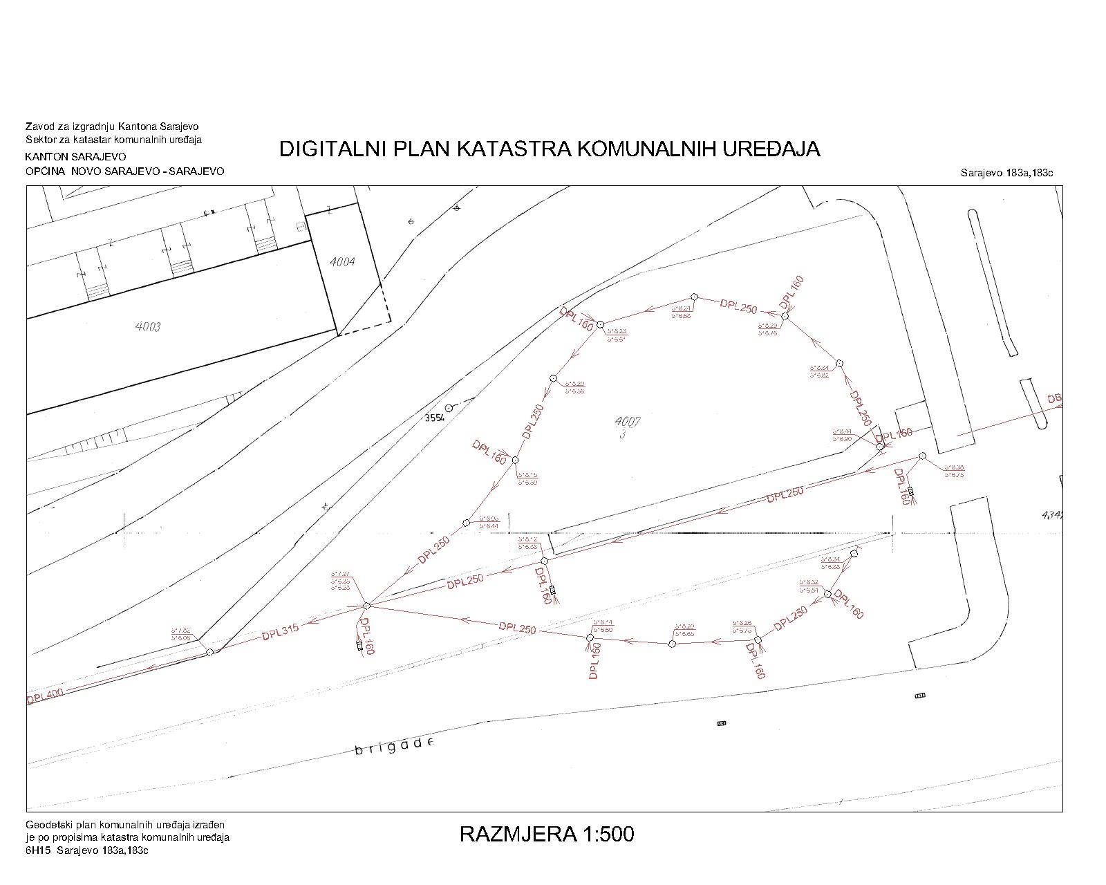
Graphic overview for Drainage network
Drainage network The utility cadastre is a special technical record in which data on all underground and above-ground utility installations are collected, … Bosnia and Herzegovina Jan. 1, 1982 Sarajevo Canton Construction Institute other Restrictions
Graphic overview for 2019 UAV Orthoimagery Coverage
2019 UAV Orthoimagery Coverage The orthoimagery coverage of the 2019 Orthophoto (UAV) is the product of UAV (Drone) photography of 24 urban areas. The … Albania May 11, 2022 State Authority for Geospatial Information copyright
Graphic overview for Area boundaries in the protection procedure on the territory of AP Vojvodina
Area boundaries in the protection procedure on the territory of AP Vojvodina Area boundaries in the protection procedure on the territory of AP Vojvodina Serbia July 6, 2022 Institute for Nature Conservation of Voivodina Province copyright
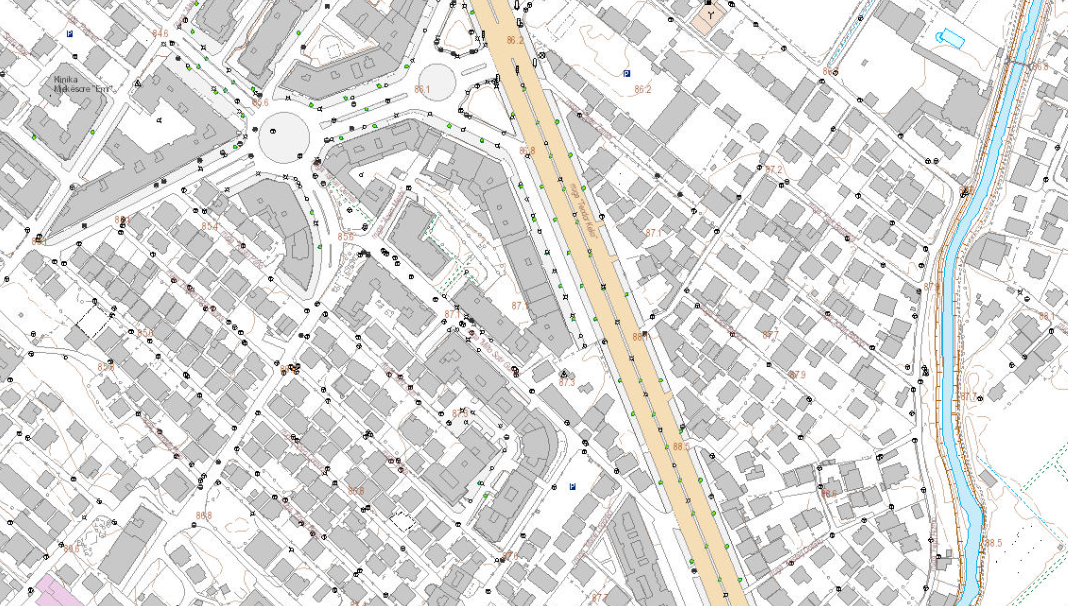
Graphic overview for Base Map Image, Topographic Map 1:2000
Base Map Image, Topographic Map 1:2000 Base map of scale 1:2 000 in Image (raster) format, created by the State Authority for Geospatial Information (ASIG) in … Albania June 29, 2022 State Authority for Geospatial Information copyright
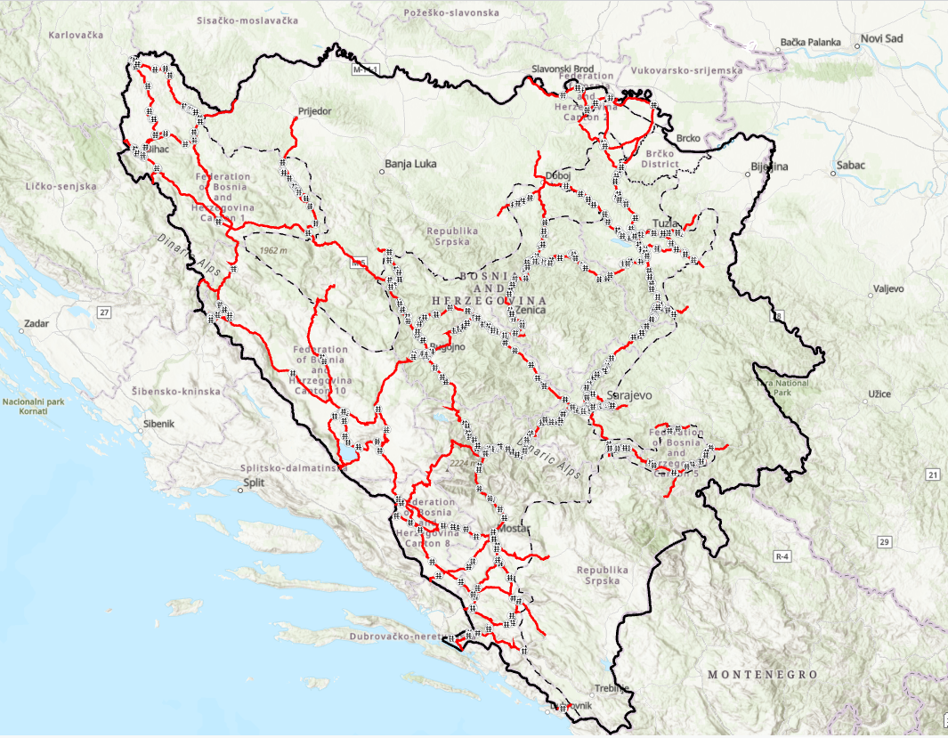
Graphic overview for Bridges on the main road network of the Federation of Bosnia and Herzegovina
Bridges on the main road network of the Federation of Bosnia and Herzegovina JP Ceste Federacije BiH doo Sarajevo manages 578 bridges, whose average age is about 45 years. Bridges in the broader … Bosnia and Herzegovina Jan. 1, 2024 PC Roads of the Federation of Bosnia and Herzegovina doo Sarajevo other Restrictions
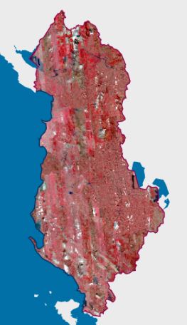
Graphic overview for CIR 2023 Satellite Orthophoto
CIR 2023 Satellite Orthophoto The CIR 2023 Satellite Orthophoto covers an area of approximately 28,748 km². It was obtained through the “Satellite Service” project … Albania Sept. 23, 2024 State Authority for Geospatial Information copyright
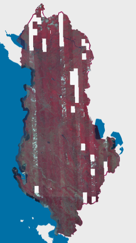
Graphic overview for CIR 2025 Satellite Orthophoto
CIR 2025 Satellite Orthophoto The CIR 2025 Satellite Orthophoto covers 95% of the territory of the Republic of Albania from satellite images collected during … Albania Aug. 20, 2025 State Authority for Geospatial Information copyright
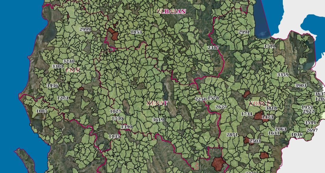
Graphic overview for Coastal Zone Management
Coastal Zone Management Cartographic information of the indicative maps of immovable properties (HTR), at the time of the initial registration._x000D_ The information was … Albania July 30, 2023 ASIG none
Showing 10 of 101 records (filtered)
« first previous Page 5 of 10. next last »