Showing 15 of 25 records (filtered)
Applied filters: Keywords: border × Clear all filters
« first previous Page 2 of 2.
Preview
Title
Abstract
Country
INSPIRE Theme
Publication Date
Responsible Party
Topic Categories
Keywords
Access Constraints
Actions
Graphic overview for Land Classification in the Republic of North Macedonia TK25-2017, metadata of the review service - WMS
Land Classification in the Republic of North Macedonia TK25-2017, metadata of the review service - WMS The metadata of the land classification review service. The updated data for the land classification collection of the Republic of … North Macedonia Not specified March 19, 2024 Agency for Real Estate Cadastre Not specified otherRestrictions
Graphic overview for Land Classification in the Republic of North Macedonia, metadata of the dataset - INSPIRE
Land Classification in the Republic of North Macedonia, metadata of the dataset - INSPIRE The land classification dataset of the Republic of North Macedonia covers land cover such as arable land, vineyards, forests, pastures, … North Macedonia Not specified Nov. 27, 2019 Agency for Real Estate Cadastre otherRestrictions
Graphic overview for Land Classification in the Republic of North Macedonia, metadata of the review service, WMS
Land Classification in the Republic of North Macedonia, metadata of the review service, WMS Service for viewing the land classification data collection - WMS of the Republic of North Macedonia from the TK 25 … North Macedonia Not specified Nov. 27, 2019 Agency for Real Estate Cadastre Not specified otherRestrictions
Graphic overview for Overview topographic map from the Military Geographical Institute Belgrade (VGI) at a scale of 1:500000 (PTK 500) - Skopje 56, metadata for the dataset
Overview topographic map from the Military Geographical Institute Belgrade (VGI) at a scale of 1:500000 (PTK 500) - Skopje 56, metadata for the dataset The overview topographic map at a scale of 1:500,000 was produced by the VGI Belgrade in 1982. The map is … North Macedonia Not specified Jan. 1, 1982 Agency for Real Estate Cadastre otherRestrictions
Graphic overview for Populated places in the Republic of Macedonia
Populated places in the Republic of Macedonia Borders of settlements in the Republic of Macedonia North Macedonia Not specified June 10, 2015 Agency for Real Estate Cadastre Not specified otherRestrictions
Graphic overview for Protected Landscape - Osogovo Mountains, metadata for dataset
Protected Landscape - Osogovo Mountains, metadata for dataset Part of the Osogovo Mountains has been declared a protected area, category V - protected landscape, due to the diversity … North Macedonia Nov. 20, 2020 Ministry of Environment and Physical Planning otherRestrictions
Graphic overview for State border of the Republic of Macedonia, dataset metadata
State border of the Republic of Macedonia, dataset metadata Data on the state border of the Republic of Macedonia produced by digitizing cadastral plans at a scale of 2500 … North Macedonia June 10, 2015 Agency for Real Estate Cadastre otherRestrictions
Graphic overview for Statistical Units of the Republic of Macedonia, metadata of the dataset - INSPIRE
Statistical Units of the Republic of Macedonia, metadata of the dataset - INSPIRE Statistical units of the Republic of Macedonia developed according to the INSPIRE regulation North Macedonia Jan. 1, 2015 Agency for Real Estate Cadastre otherRestrictions
Graphic overview for Topographic map from the Military Geographical Institute Belgrade (VGI) at a scale of 1:100000 (TK100), metadata for the dataset
Topographic map from the Military Geographical Institute Belgrade (VGI) at a scale of 1:100000 (TK100), metadata for the dataset The topographic map at a scale of 1:100,000 was produced by the VGI Belgrade in the period 1970-1987. The territory … North Macedonia Not specified Jan. 1, 1970 Agency for Real Estate Cadastre otherRestrictions
Graphic overview for Topographic map from the Military Geographical Institute Belgrade (VGI) at a scale of 1:50000 (TK50), metadata for the dataset
Topographic map from the Military Geographical Institute Belgrade (VGI) at a scale of 1:50000 (TK50), metadata for the dataset The topographic map at a scale of 1:50000 was produced by the VGI Belgrade in 1966. The territory of the … North Macedonia Not specified Jan. 1, 1966 Agency for Real Estate Cadastre otherRestrictions
Graphic overview for Geographical-tourist map of Serbia at a scale of 1 : 500 000
Geographical-tourist map of Serbia at a scale of 1 : 500 000 Geographic and tourist map of Serbia at a scale of 1 : 500 000 is a digital geographic map based … Serbia Sept. 24, 2020 Republic Geodetic Authority otherRestrictions
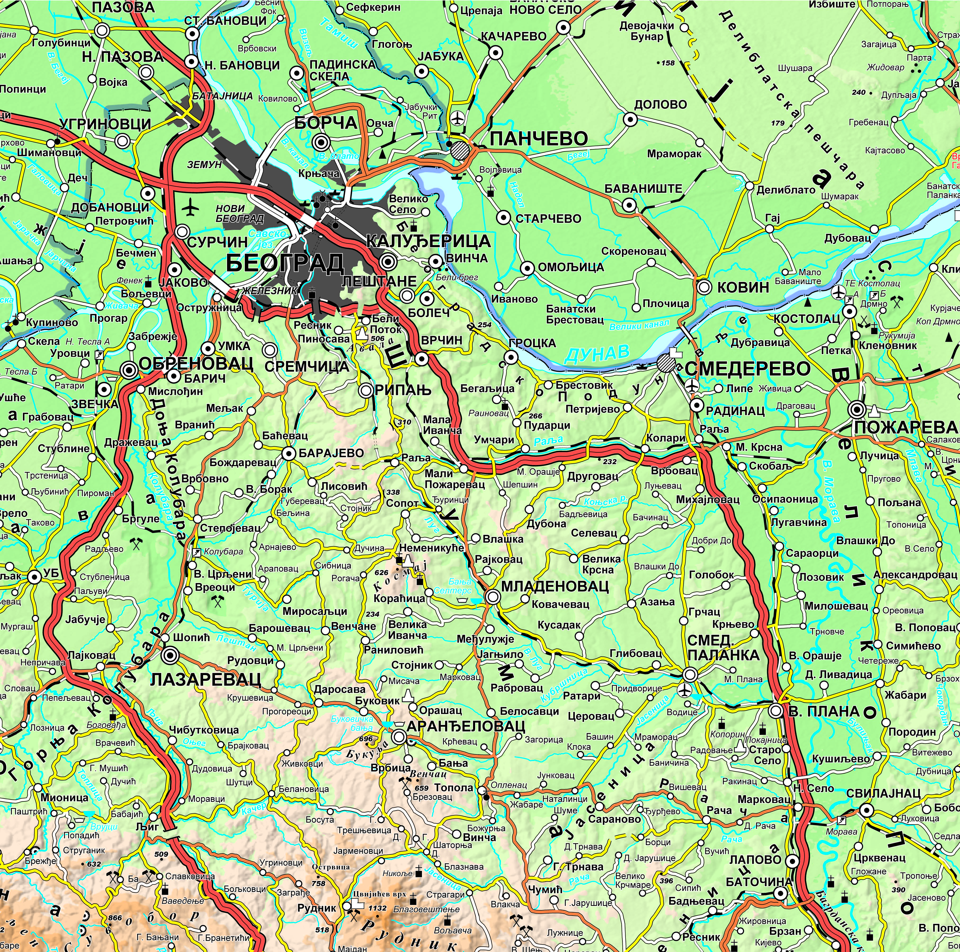
Graphic overview for Geographical-tourist map of Serbia at a scale of 1: 300 000
Geographical-tourist map of Serbia at a scale of 1: 300 000 Geographic and tourist map of Serbia at a scale of 1: 300 000 is a digital geographic map based on … Serbia Sept. 24, 2020 Republic Geodetic Authority otherRestrictions
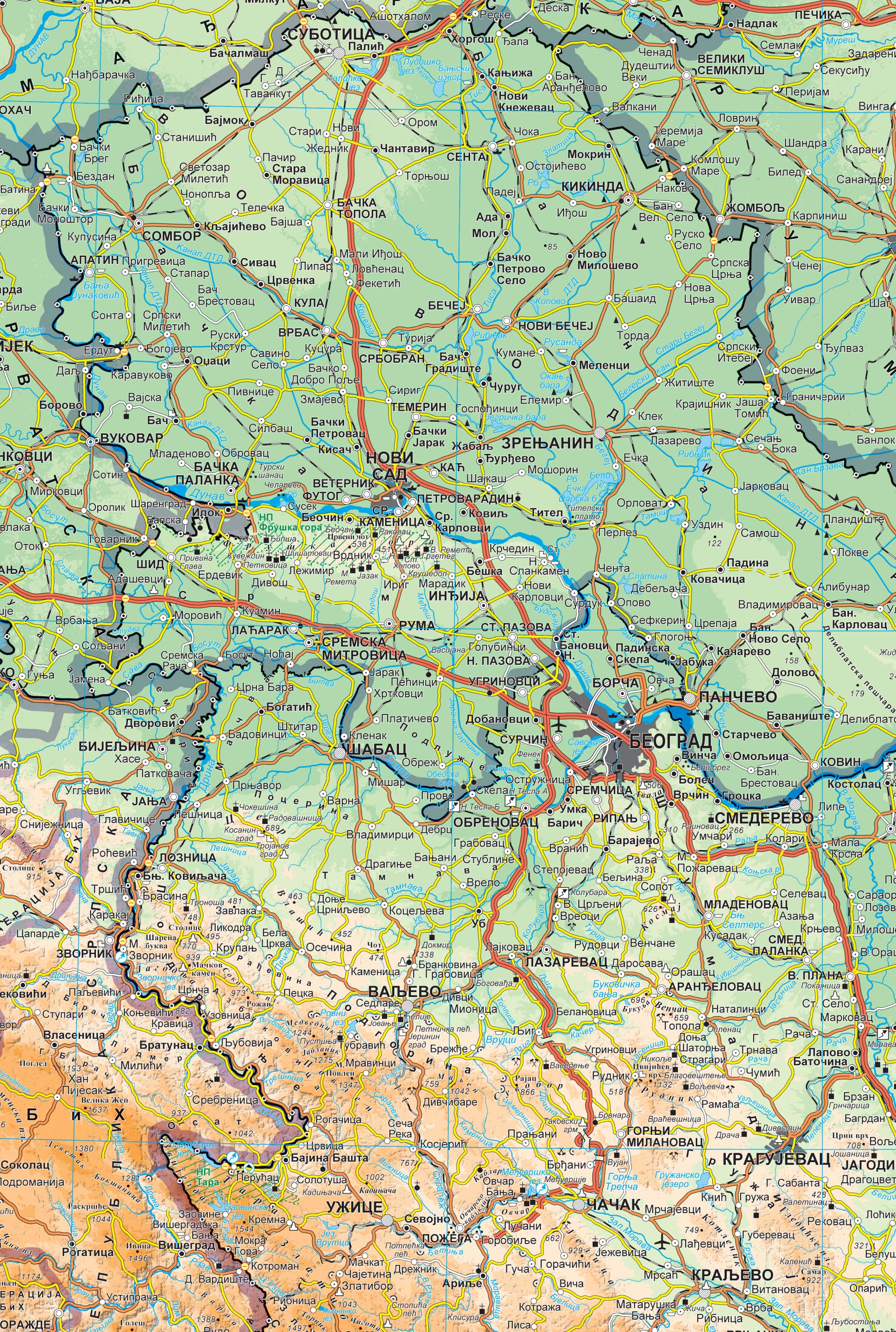
Graphic overview for Geographical map of Serbia at a scale of 1 : 1 000 000
Geographical map of Serbia at a scale of 1 : 1 000 000 Geographical map of Serbia at a scale of 1 : 1 000 000 is a digital geographic map based on … Serbia Sept. 24, 2020 Republic Geodetic Authority otherRestrictions
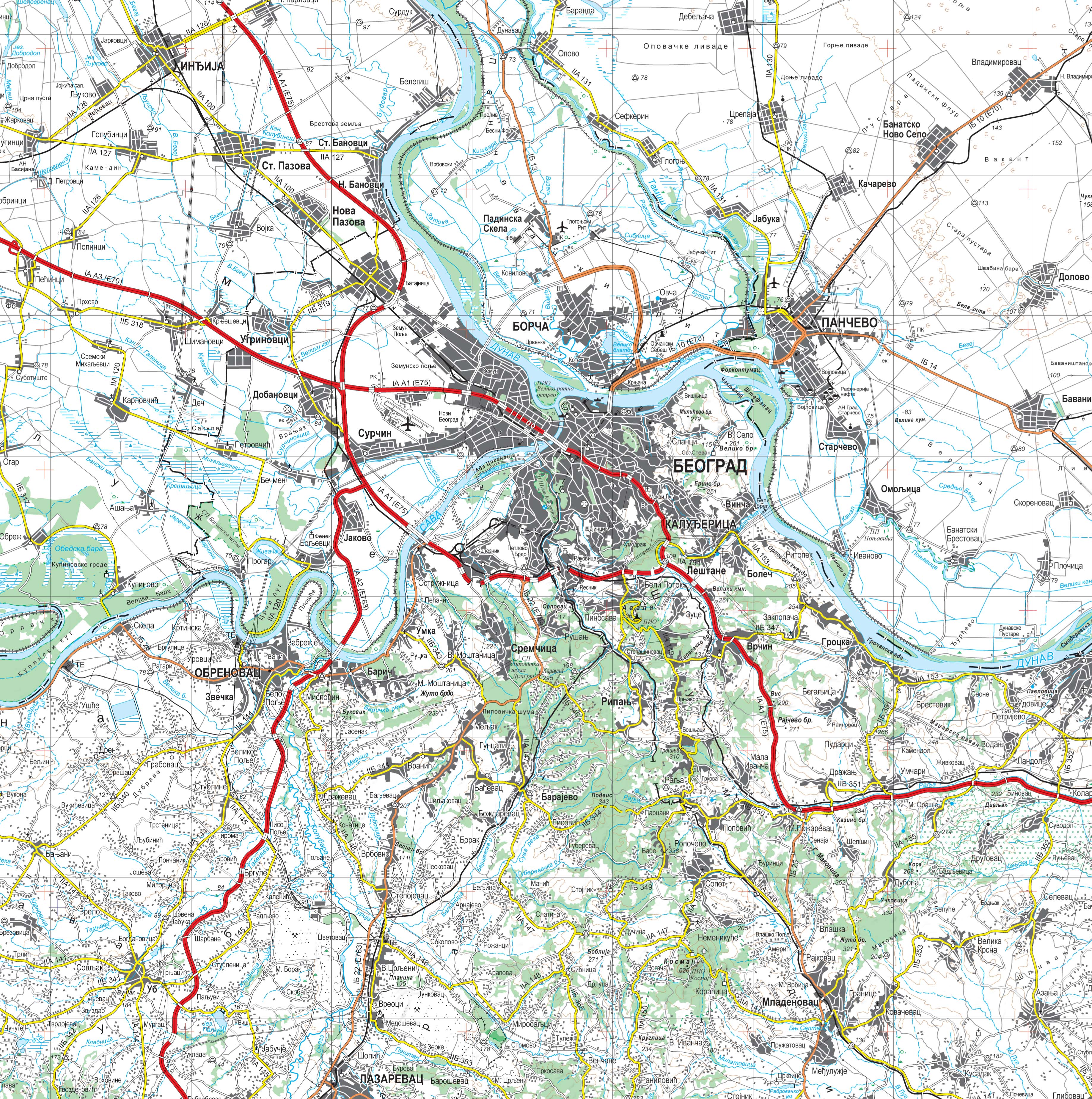
Graphic overview for Topographic map at a scale of 1 : 250 000
Topographic map at a scale of 1 : 250 000 Topographic map at a scale of 1 : 250 000 is a digital topographic map based on the cartographic database … Serbia Sept. 30, 2020 Republic Geodetic Authority otherRestrictions
Graphic overview for Topographic maps - Topographic data set
Topographic maps - Topographic data set Cartographic Base 1:20 000 is a set of entities that have modeled natural and artificial objects on the earth's surface, … Serbia Aug. 20, 2016 Republic Geodetic Authority otherRestrictions
Showing 15 of 25 records (filtered)
« first previous Page 2 of 2.