Showing 10 of 18 records (filtered)
Applied filters: Keywords: cadastre × Clear all filters
Page 1 of 2. next last »
Preview
Title
Abstract
Country
INSPIRE Theme
Publication Date
Responsible Party
Topic Categories
Keywords
Access Constraints
Actions
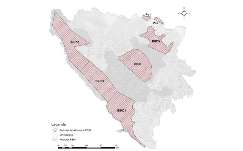
Graphic overview for Cadastre of approved research areas
Cadastre of approved research areas FMERI maintains a cadastre of approved exploration areas for mineral raw materials in the Federation of BiH, based on approvals … Bosnia and Herzegovina None Federal Ministry of Energy, Mining and Industry otherRestrictions
Graphic overview for Green Cadastre of the City of Skopje, metadata for the dataset
Green Cadastre of the City of Skopje, metadata for the dataset The green cadastre contains an inventory of trees and shrubs located in public areas such as boulevard and block greenery … North Macedonia Not specified None City of Skopje otherRestrictions
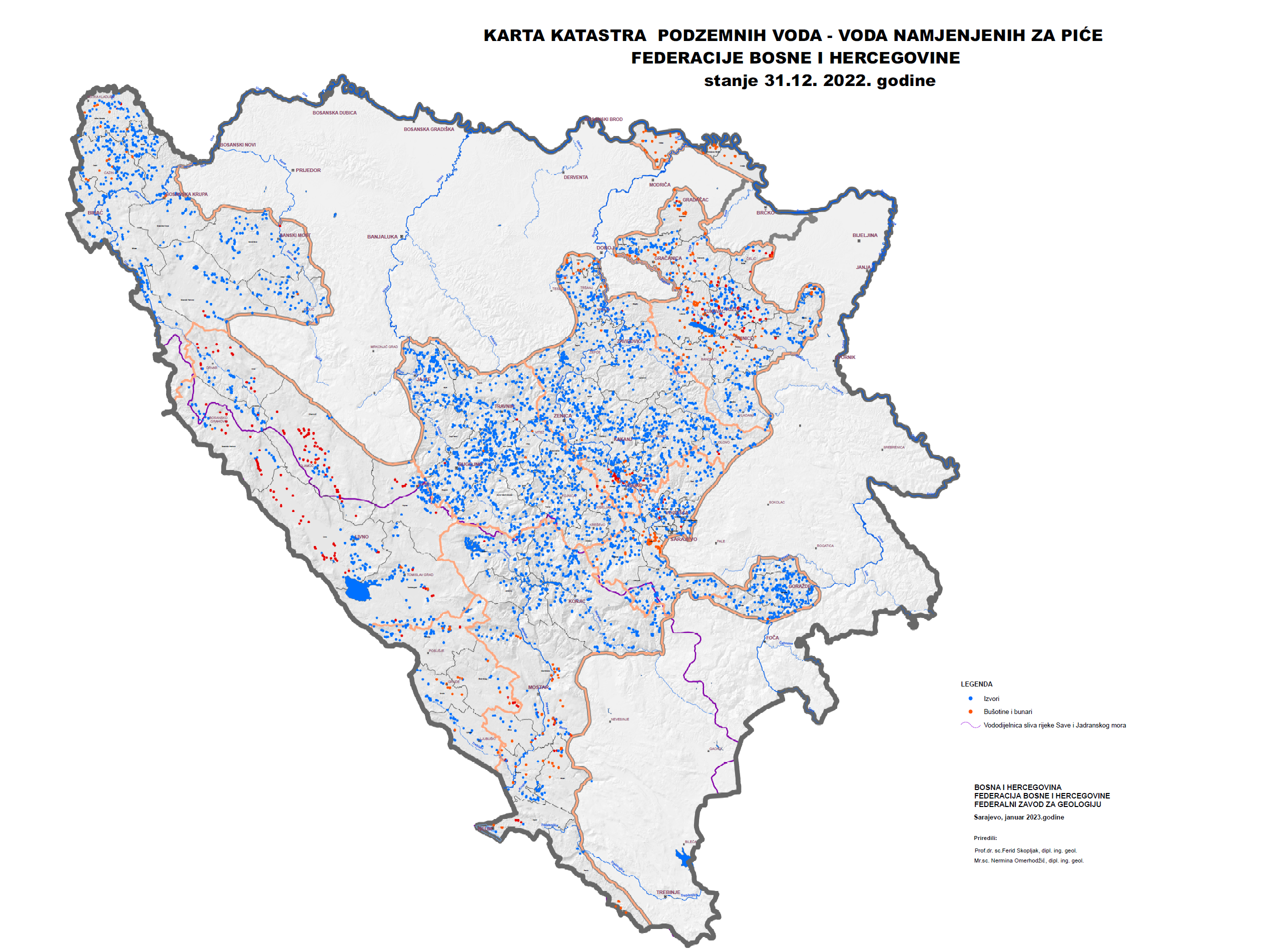
Graphic overview for Groundwater Cadastre of the Federation of Bosnia and Herzegovina
Groundwater Cadastre of the Federation of Bosnia and Herzegovina The Groundwater Register of the Federation of Bosnia and Herzegovina is a comprehensive document that includes cadastral lists of groundwater … Bosnia and Herzegovina None Federal Institute of Geology otherRestrictions
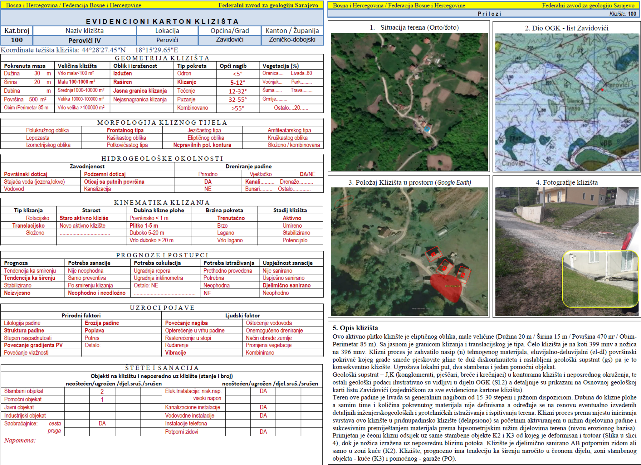
Graphic overview for Landslide Cadastre of the Federation of Bosnia and Herzegovina
Landslide Cadastre of the Federation of Bosnia and Herzegovina The Landslide Cadastre of the Federation of Bosnia and Herzegovina represents a central database of registered landslides in the territory … Bosnia and Herzegovina None Federal Institute of Geology otherRestrictions
Graphic overview for Pasture cadastre
Pasture cadastre The management of state pastures in the Federation is entrusted to the cantons. The canton on whose territory the pastures … Bosnia and Herzegovina None Ministry of Agriculture, Forestry and Water Management of Zenica-Doboj Canton otherRestrictions
Graphic overview for Topographic map of the Republic of North Macedonia at a scale of 1:25000-raster, metadata for the dataset
Topographic map of the Republic of North Macedonia at a scale of 1:25000-raster, metadata for the dataset The topographic map at a scale of 1:25000 was produced in the period from 2004 to 2011 and is in … North Macedonia Not specified Jan. 1, 2012 Agency for Real Estate Cadastre otherRestrictions
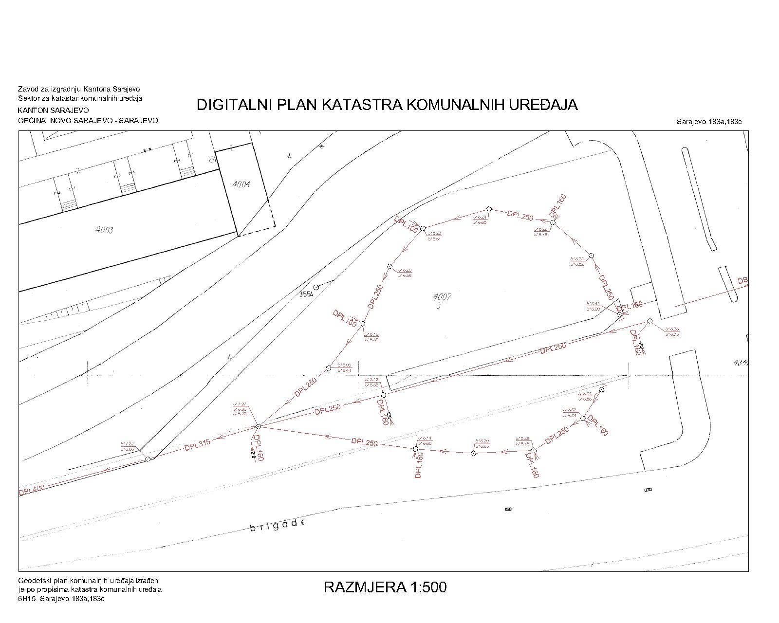
Graphic overview for Drainage network
Drainage network The utility cadastre is a special technical record in which data on all underground and above-ground utility installations are collected, … Bosnia and Herzegovina Jan. 1, 1982 Sarajevo Canton Construction Institute other Restrictions
🖼️
Cadastral Data North Macedonia Property parcels and cadastral information North Macedonia Sept. 2, 2025 Agency for Real Estate Cadastre restricted
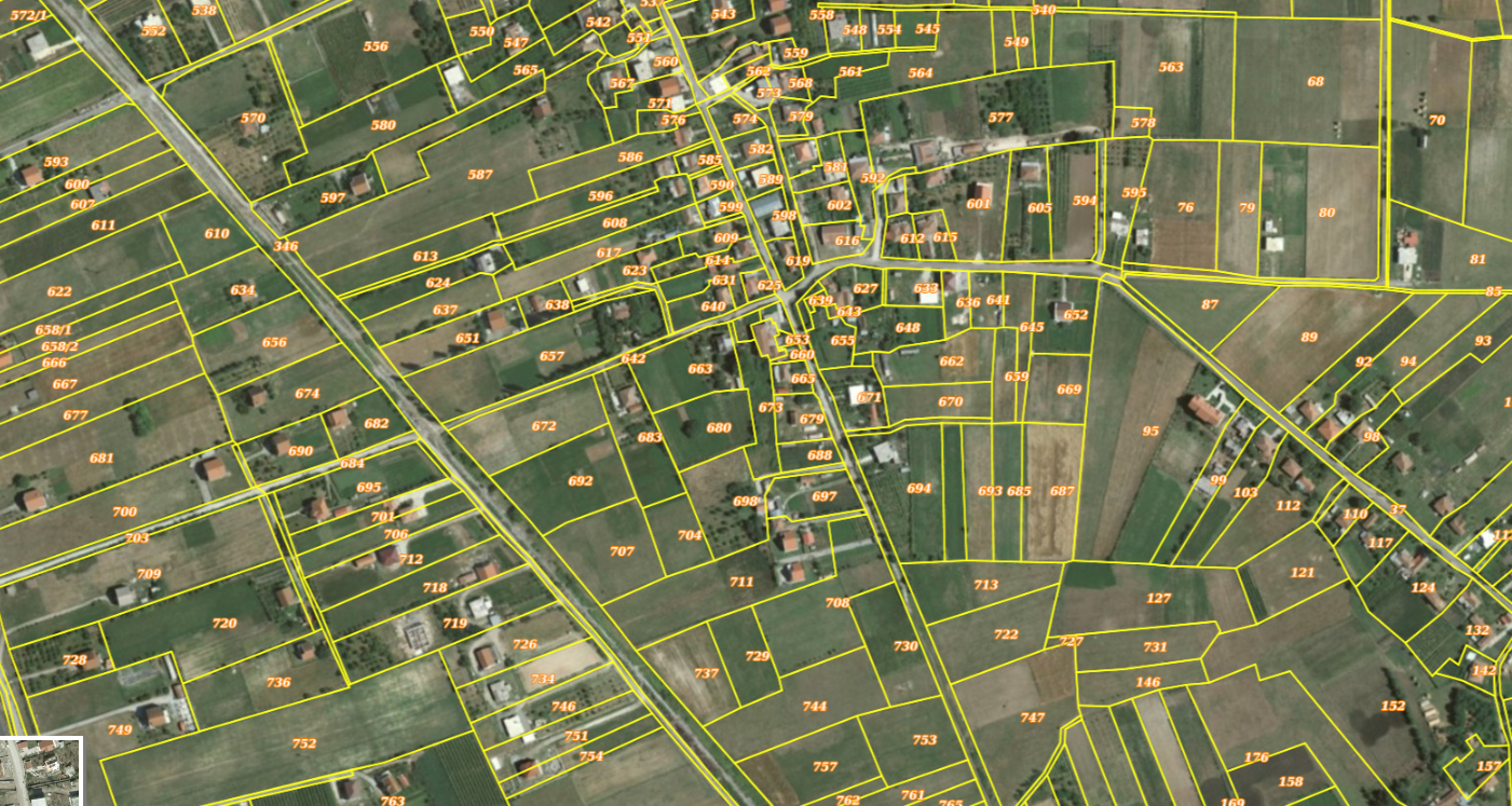
Graphic overview for Cadastral Parcels
Cadastral Parcels Property boundaries and ownership information Albania Oct. 5, 2023 ASIG restricted
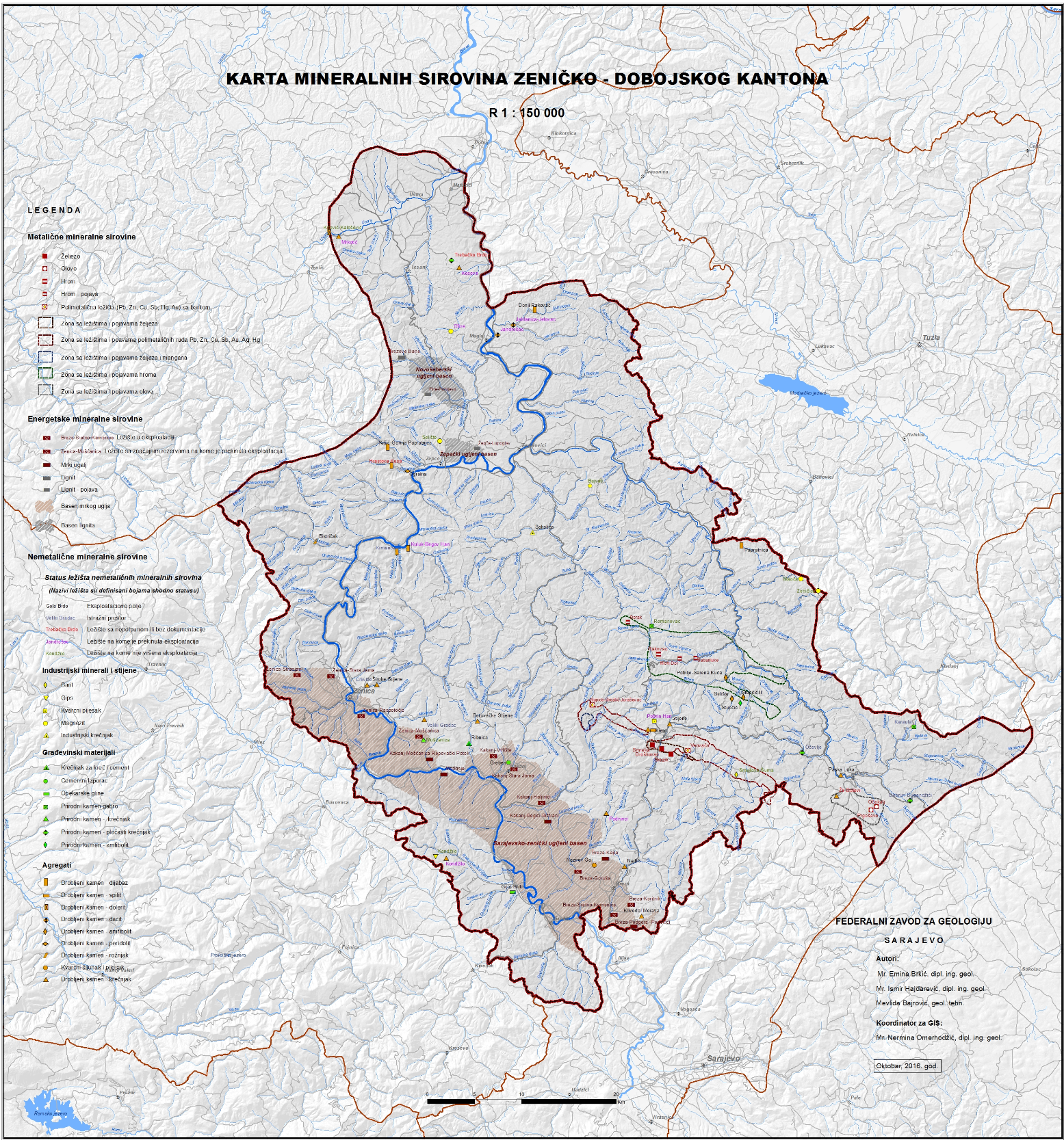
Graphic overview for Cadastre of mineral resources for the FBiH area
Cadastre of mineral resources for the FBiH area The cadastre of mineral resources of the Federation of Bosnia and Herzegovina consists of solid mineral resources whose reserves are … Bosnia and Herzegovina None Federal Institute of Geology other Restrictions
Showing 10 of 18 records (filtered)
Page 1 of 2. next last »