Showing 13 of 13 records (filtered)
Applied filters: Keywords: city × Clear all filters
Preview
Title
Abstract
Country
INSPIRE Theme
Publication Date
Responsible Party
Topic Categories
Keywords
Access Constraints
Actions
🖼️
AKEP 2023 Electronic communications facilities used by electronic communications companies and used to house active transmission equipment and the electronic communications transmission … Albania Not specified Sept. 14, 2023 Electronic and Postal Communications Authority - AKEP Not specified copyright
🖼️
Amendments to the Regulation Plan "Slatinska Bare" City of Cazin By the decision of the Municipal Council of the Municipality of Cazin adopted at the session held on May 31, … Bosnia and Herzegovina July 14, 2023 City of Cazin otherRestrictions
🖼️
Amendments to the Zoning Plan of the business zone "Ratkovac" City of Cazin By the decision of the Municipal Council of the Municipality of Cazin adopted at the session held on May 31, … Bosnia and Herzegovina July 14, 2023 City of Cazin otherRestrictions
Graphic overview for Border of the GUP 2012-2022 for the city of Skopje
Border of the GUP 2012-2022 for the city of Skopje Border of the General Urban Plan 2012-2022 for the City of Skopje. North Macedonia Jan. 1, 2012 City of Skopje otherRestrictions
Graphic overview for Cadastral plans of the Republic of North Macedonia - archival originals at a scale of 1:10000 - raster, metadata for the dataset
Cadastral plans of the Republic of North Macedonia - archival originals at a scale of 1:10000 - raster, metadata for the dataset The archival originals of the cadastral plans at a scale of 1:10000 were prepared for some of the cadastral municipalities … North Macedonia Not specified Jan. 1, 2000 Agency for Real Estate Cadastre otherRestrictions
Graphic overview for City quarters, dataset metadata
City quarters, dataset metadata With the General Urban Plan of the City of Skopje 2012-2022, Skopje as a territory is divided into city districts. North Macedonia Jan. 1, 2012 City of Skopje otherRestrictions
Graphic overview for Engineering geological map of the Republic of Macedonia, regionalization of the terrain according to stability and seismicity at a scale of 1:200,000
Engineering geological map of the Republic of Macedonia, regionalization of the terrain according to stability and seismicity at a scale of 1:200,000 Terrain categorization according to stability, seismic zoning of the terrain according to engineering-geological conditions of the soil North Macedonia Jan. 1, 1977 Geological Survey of the Republic of North Macedonia otherRestrictions
Graphic overview for Green Cadastre of the City of Skopje, metadata for the dataset
Green Cadastre of the City of Skopje, metadata for the dataset The green cadastre contains an inventory of trees and shrubs located in public areas such as boulevard and block greenery … North Macedonia Not specified None City of Skopje otherRestrictions
🖼️
Regulatory plan Business zone "Vranjska" Bosanska Krupa The Regulatory Plan for the Business Zone "Vranjska" Bosanska Krupa for the period 2025 to 2035 is a binding detailed … Bosnia and Herzegovina Oct. 31, 2025 City of Bosanska Krupa otherRestrictions
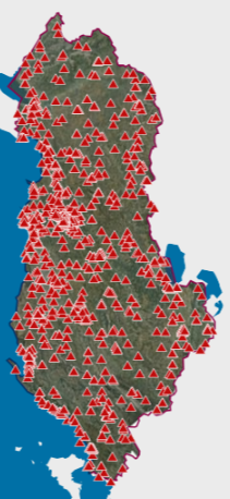
Graphic overview for AKEP, Antenna Base
AKEP, Antenna Base Electronic communications facilities used by electronic communications companies and serve to place active transmission equipment. The data are in accordance … Albania Sept. 14, 2023 Electronic and Postal Communications Authority - AKEP copyright
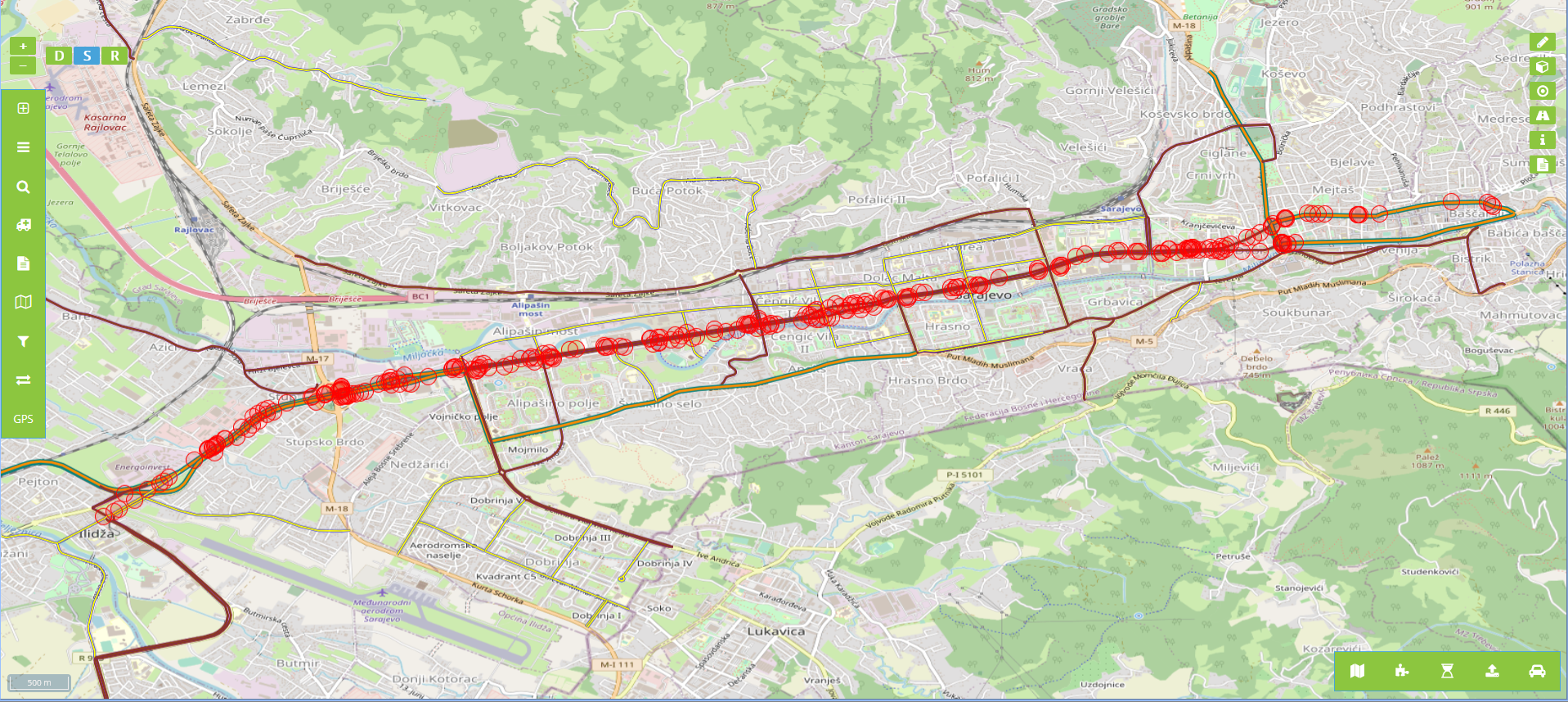
Graphic overview for Billboards in the protective zone of road communication under the jurisdiction of the Road Directorate of the Sarajevo Canton
Billboards in the protective zone of road communication under the jurisdiction of the Road Directorate of the Sarajevo Canton Billboards in the protective zone of the road communication under the jurisdiction of the Sarajevo Canton Road Directorate consist of … Bosnia and Herzegovina Jan. 1, 2020 Sarajevo Canton Road Directorate other Restrictions
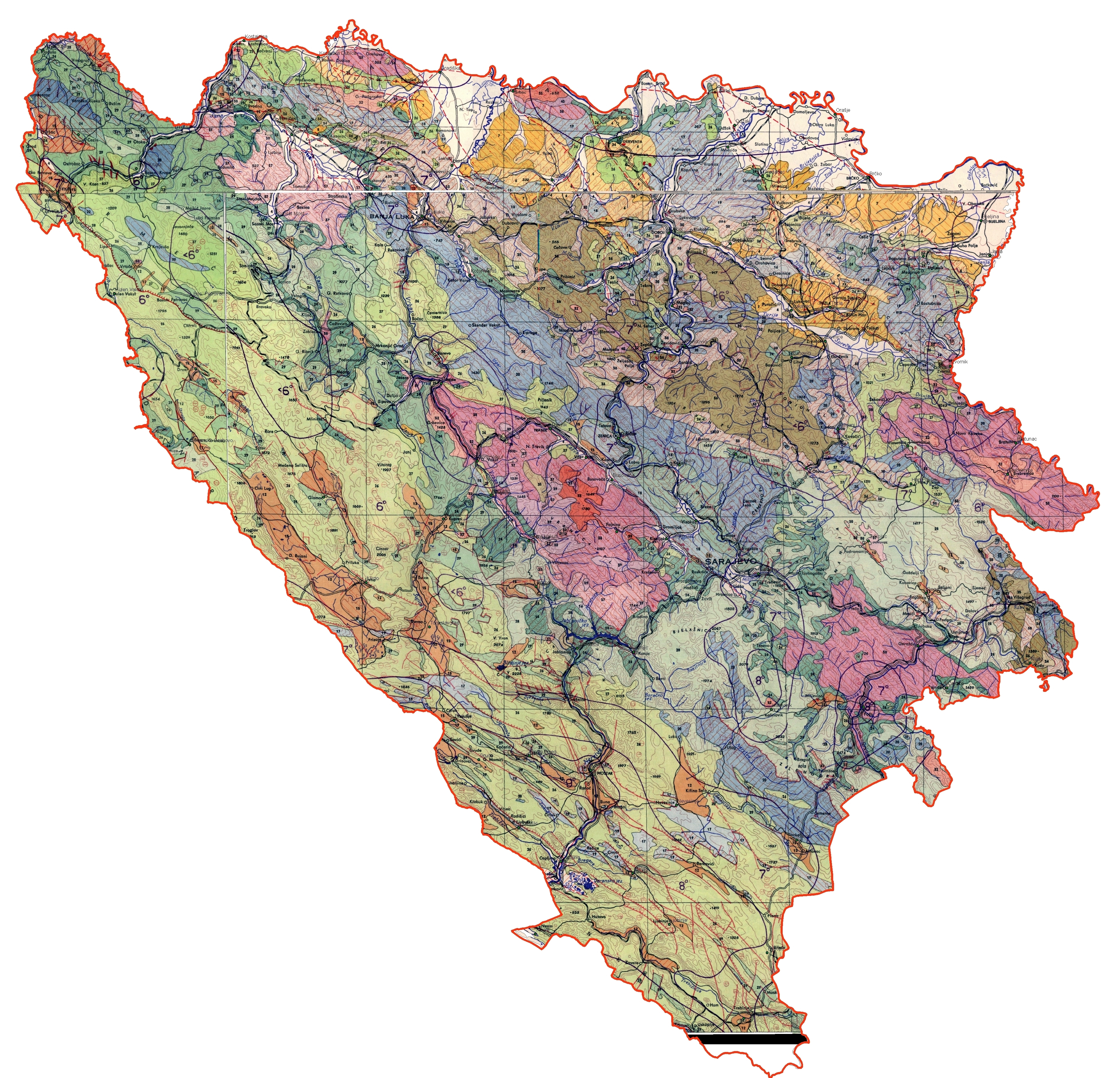
Graphic overview for Engineering-geological map of Bosnia and Herzegovina
Engineering-geological map of Bosnia and Herzegovina The engineering geological map of FBiH is characterized by a distinct diversity of lithostratigraphic composition (rocks and rock complexes are … Bosnia and Herzegovina None Federal Institute of Geology other Restrictions
Graphic overview for Study of optimal energy supply for the Sarajevo Canton
Study of optimal energy supply for the Sarajevo Canton The Study of Optimal Energy Supply of the Sarajevo Canton is a tool of the Sarajevo Canton Spatial Plan, and … Bosnia and Herzegovina Dec. 1, 2010 Ministry of Physical Planning and Environmental Protection of Sarajevo Canton other Restrictions
Showing 13 of 13 records (filtered)