Showing 10 of 20 records (filtered)
Applied filters: Keywords: construction × Clear all filters
« first previous Page 2 of 2.
Preview
Title
Abstract
Country
INSPIRE Theme
Publication Date
Responsible Party
Topic Categories
Keywords
Access Constraints
Actions
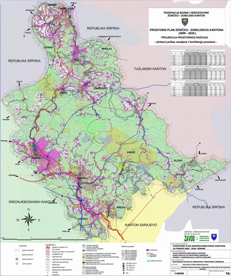
Graphic overview for Spatial Plan of Zenica-Doboj Canton 2009-2029.
Spatial Plan of Zenica-Doboj Canton 2009-2029. The Spatial Plan of the Zenica-Doboj Canton is the first mandatory planning document for the territory of the Canton, which … Bosnia and Herzegovina Feb. 20, 2009 Institute for Urban Planning and Spatial Development of Zenica-Doboj Canton otherRestrictions
Graphic overview for Urban plan of the city of Sarajevo for the urban area of Hadžići 1986 - 2015.
Urban plan of the city of Sarajevo for the urban area of Hadžići 1986 - 2015. Urban plans are prepared for urban areas, and their boundaries are defined by the Spatial Plan of the Sarajevo Canton. … Bosnia and Herzegovina Not specified None Sarajevo Canton Development Planning Institute Not specified otherRestrictions
Graphic overview for Urban plan of the Ilijaš urban area 1986 - 2015.
Urban plan of the Ilijaš urban area 1986 - 2015. Urban plans are adopted for urban areas, and the boundaries of the areas for which they are prepared are defined … Bosnia and Herzegovina Not specified None Sarajevo Canton Development Planning Institute Not specified otherRestrictions
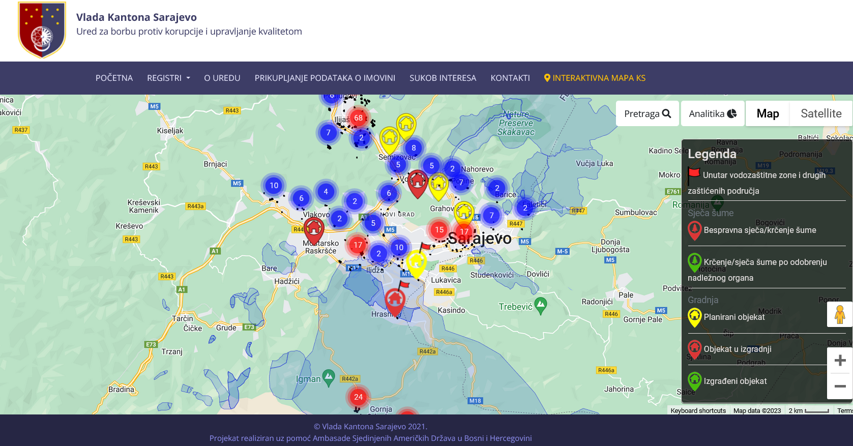
Graphic overview for Interactive map of construction and deforestation in the Sarajevo Canton area
Interactive map of construction and deforestation in the Sarajevo Canton area The Sarajevo Canton Anti-Corruption and Quality Management Office, with the assistance and support of the Embassy of the United States … Bosnia and Herzegovina None Sarajevo Canton Anti-Corruption Office other Restrictions
Graphic overview for OpenStreetMap Buildings Data for Albania
OpenStreetMap Buildings Data for Albania Building footprints and structures from OpenStreetMap for Albania Albania Oct. 19, 2024 OpenStreetMap Contributors Open Database License
Graphic overview for OpenStreetMap Buildings Data for Bosnia and Herzegovina
OpenStreetMap Buildings Data for Bosnia and Herzegovina Building footprints and structures from OpenStreetMap for Bosnia and Herzegovina Bosnia and Herzegovina Oct. 19, 2024 OpenStreetMap Contributors Open Database License
Graphic overview for OpenStreetMap Buildings Data for Kosovo
OpenStreetMap Buildings Data for Kosovo Building footprints and structures from OpenStreetMap for Kosovo Kosovo Oct. 19, 2024 OpenStreetMap Contributors Open Database License
Graphic overview for OpenStreetMap Buildings Data for Montenegro
OpenStreetMap Buildings Data for Montenegro Building footprints and structures from OpenStreetMap for Montenegro Montenegro Oct. 19, 2024 OpenStreetMap Contributors Open Database License
Graphic overview for OpenStreetMap Buildings Data for North Macedonia
OpenStreetMap Buildings Data for North Macedonia Building footprints and structures from OpenStreetMap for North Macedonia North Macedonia Oct. 19, 2024 OpenStreetMap Contributors Open Database License
Graphic overview for OpenStreetMap Buildings Data for Serbia
OpenStreetMap Buildings Data for Serbia Building footprints and structures from OpenStreetMap for Serbia Serbia Oct. 19, 2024 OpenStreetMap Contributors Open Database License
Showing 10 of 20 records (filtered)
« first previous Page 2 of 2.